Trail Overview
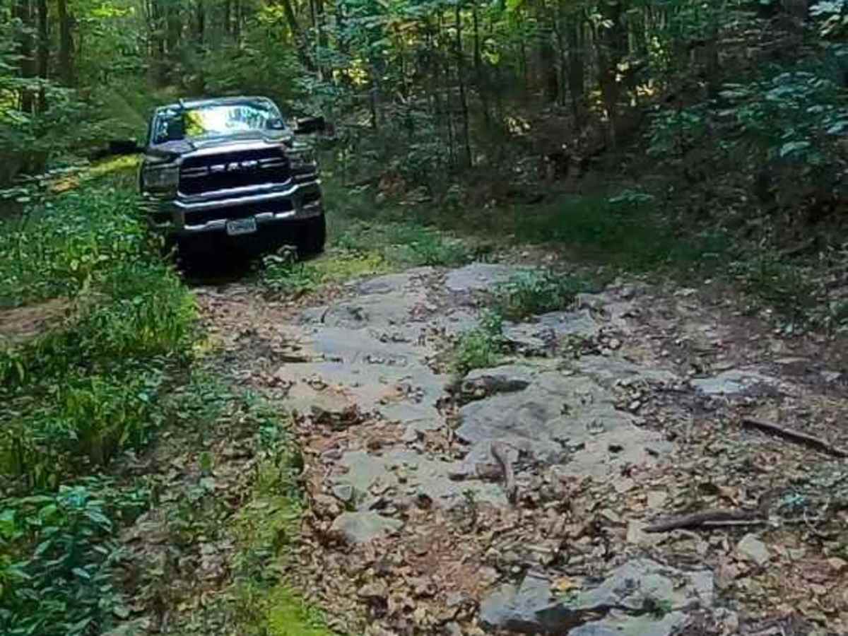
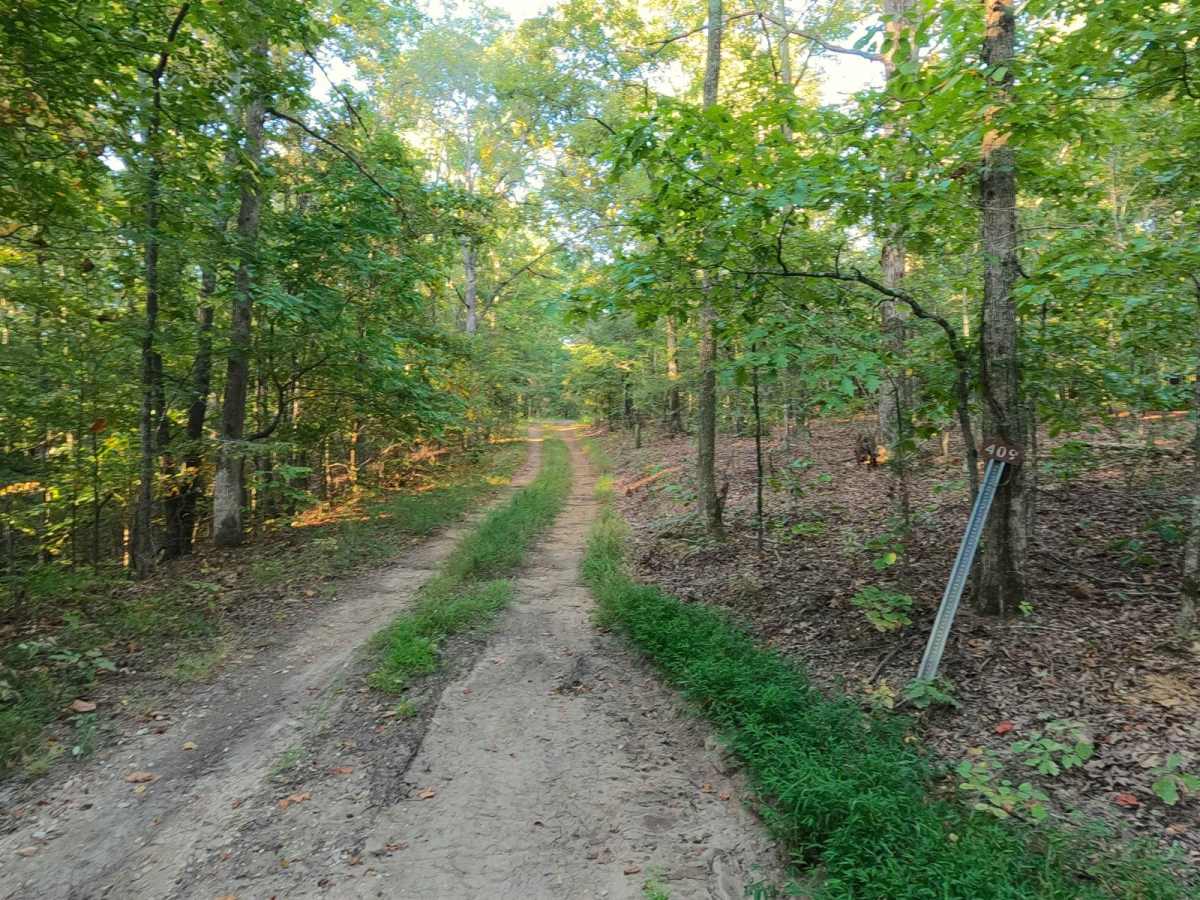
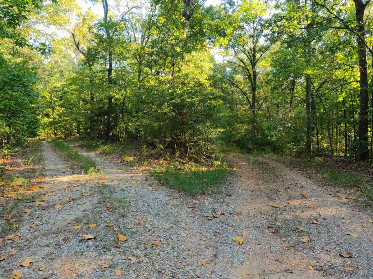
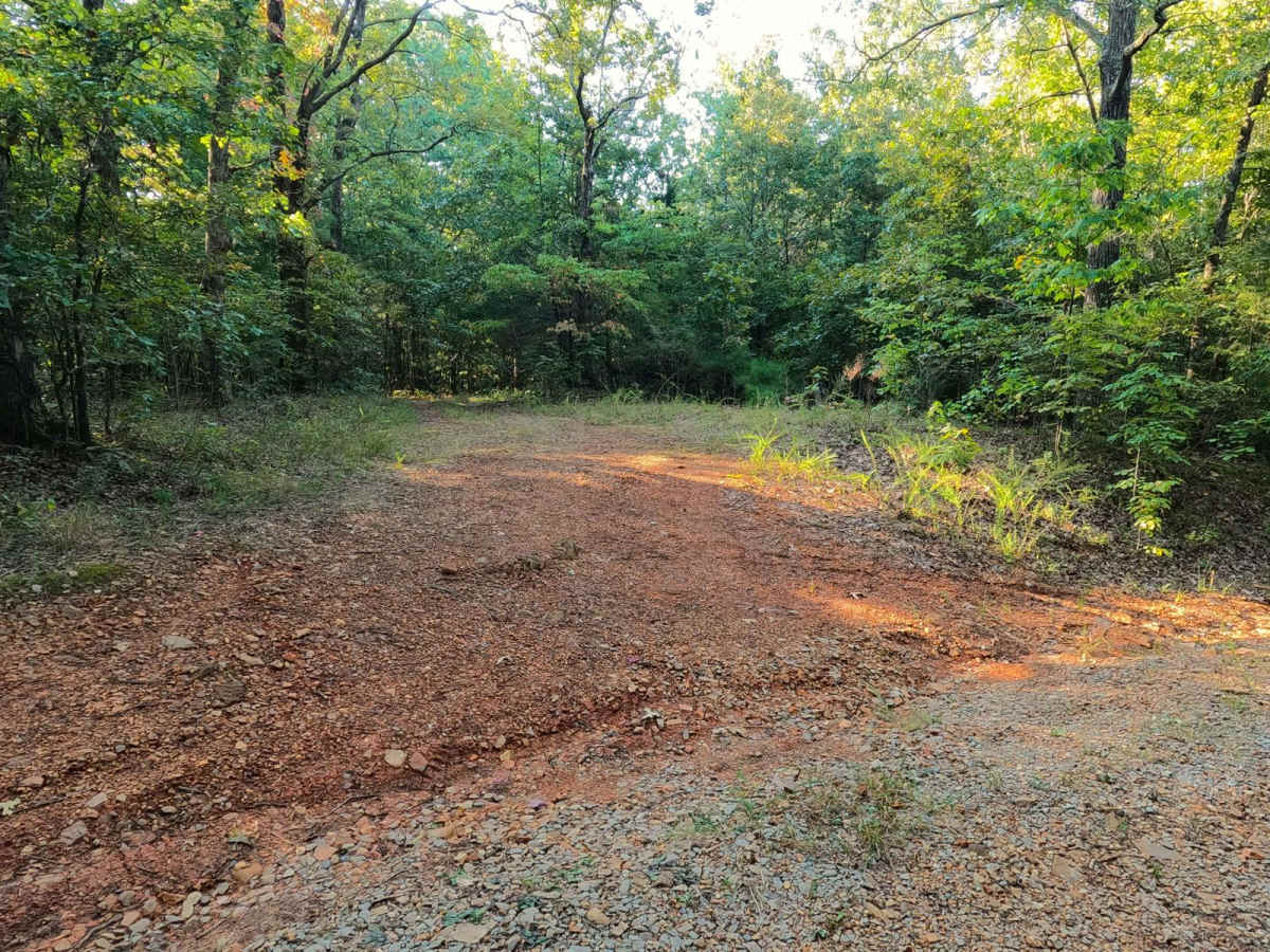
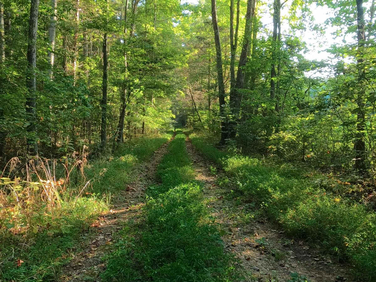
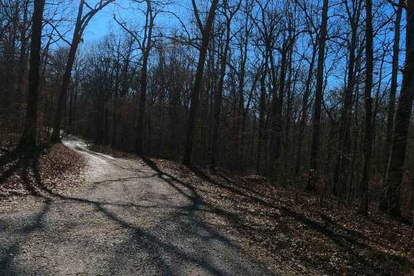
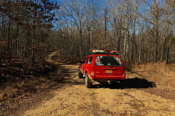
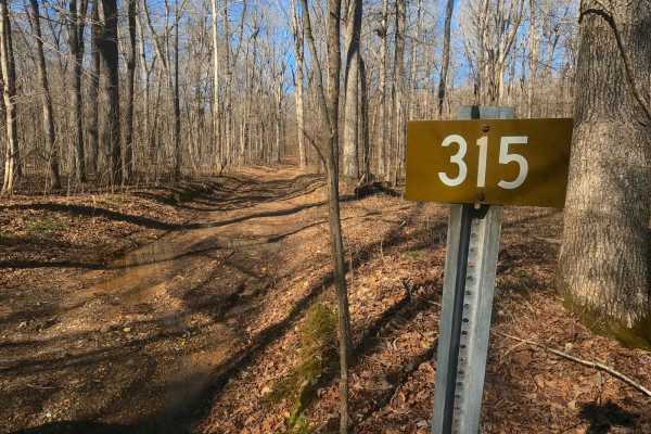
Green Branch Road - FS 409 is a natural-improved forest service road through the center-east Kentucky section, Lake Barkley side, of the Land Between the Lakes National Recreation Area. The FS 409, has annual seasonal closure from 3/27 to 5/5 for Turkey Hunting Season. The road starts with a dual entry off the Woodson Chapel FS 129, forming a triangle with the two roads, here at the first ridge-top there is road gravel present, but after going down the first hill before the track crosses the Green Branch Creek, dirt, and coarse natural rock becomes the primary surface, with mild erosion ruts present. Green Branch Creek features crossing a mild water depth with rock cobbles as a base. The creek crossing is immediately followed by a semi-unique feature in greater LBL, a smooth slab rock in the middle of the road, forming a mild ledge, which some lower clearance vehicles may have to navigate wisely. After this the track goes up to the second ridge top, ultimately leading to Roach Cemetery at 36.93735, -88.05506. The MVUM suggests that the trail ends here at the Cemetery on the ridge top, but the pathway does continue downhill to a turnaround spot at 36.93256, -88.05268, just within reach of Fulton Creek and Honker Bay.
Difficulty
The FS 409 is given a base rating of 3/10 and features mild natural terrain, including dirt, coarse gravel, and a mild water crossing at Green Branch with large cobbles (6"-10" in diameter) as the base of the crossing. The biggest obstacles are the mild and moderate ruts reaching 12" in depth and the slab rock, which depending on how approached can be as easy as a 3" ramp to a 12" ledge, with subtle uneven dynamics from side to side, top to bottom, it is a great first rock obstacle to learn on. Note in extreme conditions the bottoms near Green Branch can become extremely wet or even flooded, turning into at minimum surface mud or greater.
History
The Roach Cemetery located on this trail features the resting spot of John See Roach, who lived from the late 1700s (one record says 1765, another says 1785, both state he came to Kentucky from Virginia) and passed in the early 1800s (again one says 1808, another says 1811). Please pay your respects to those that came before us, and leave the cemetery better than you found it. Another Cemetery called John Lovell Cemetery, shown on several maps, is to the east of the FS 409 near the entry point, but when searching the cemetery's exact location could not be found.