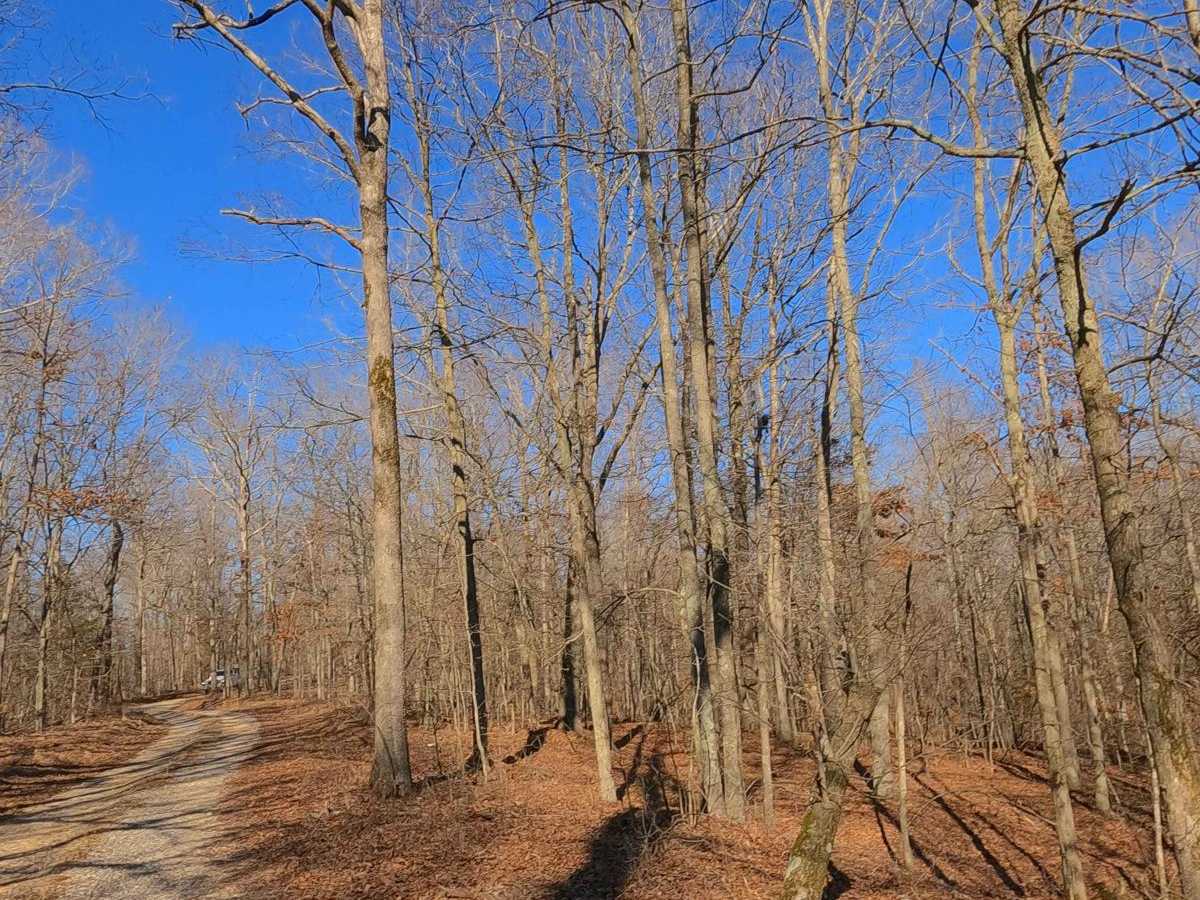
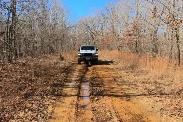
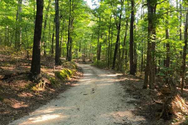
Trail Overview
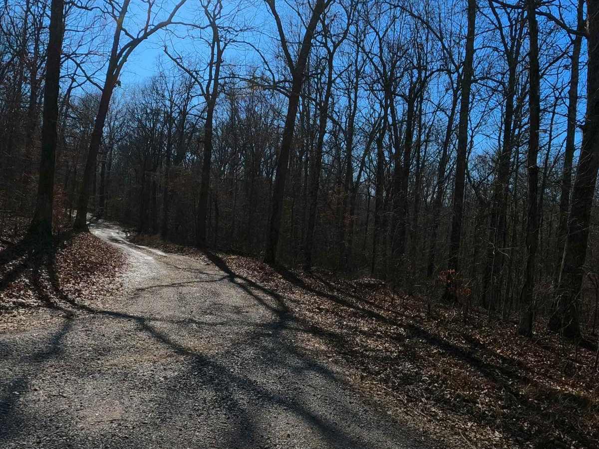
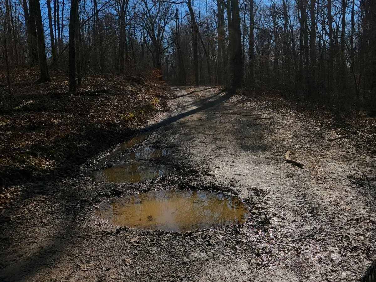
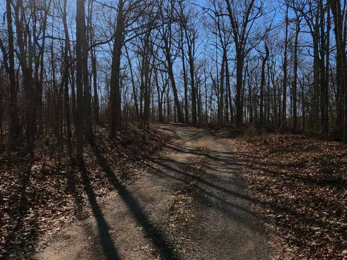
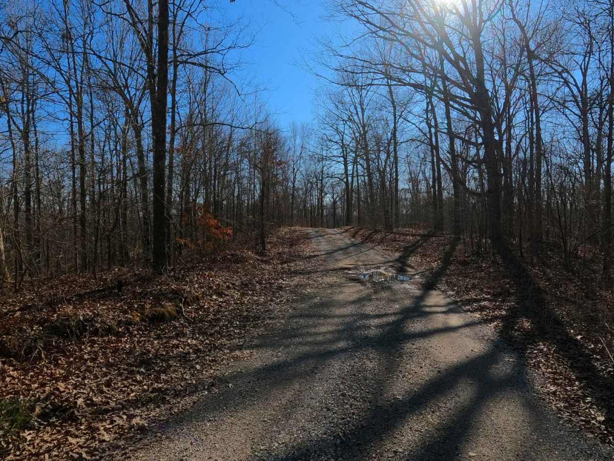
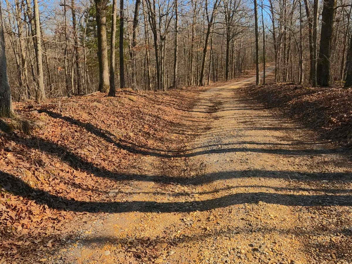
Gray Cemetery Road FS 313 is a gravel/dirt forestry road through the inland center Kentucky section of the Land Between the Lakes National Recreation Area. This road features small rolling hills and beautiful treelines, with minimal water collection spots on the road surface and occasional mild soft spots. The road ultimately serves two purposes: one is access to the Garrett Gray family cemetery at 36.92739, -88.07530, and the other is a farmer access point to the fields just south of the endpoint of the FS 313. There is a gate before the fields at 36.92707, -88.07521.
Difficulty
Gray Cemetery is a simple gravel road. It is generally well maintained and given a base rating of 1/10, consisting of mild grades up and down the small hills. Expect washboards, potholes, mounding of the gravel, spots where the gravel fades to dirt, and mild signs of erosion on the hills. The road could experience difficulty increases in times of heavy use, wet conditions, and inclement weather.
History
Respect those who came before us; this is the Garrett Gray Cemetery, also known as Gray Cemetery #1. Very little info outside of the name can be found online, other than the fact that there are 26 stones here marking the graves.