
Beginner Off-Road Trails
Near Cedar Rock, North Carolina
Explore All Beginner Trails Near Cedar Rock, North Carolina
Beginner Off-Road Trails Near Cedar Rock, North Carolina
Discover the best beginner-friendly off-road trails near you. These easier, lower-rated trails are a great place to start — browse trail maps, check difficulty ratings, and find your next adventure.
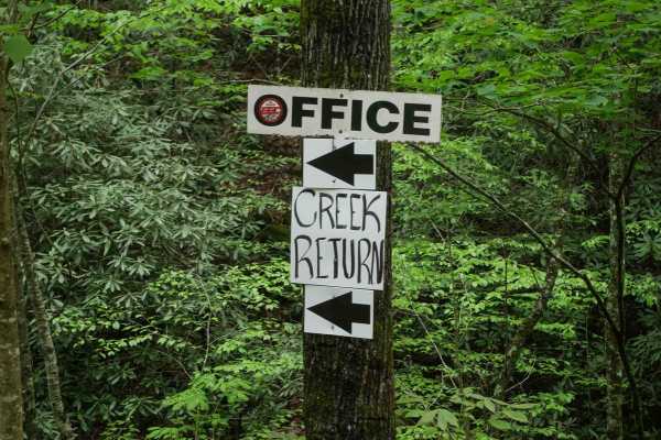
Creek Office Return
This two-way trail at Brushy Mountain Motorsports Park begins on the west side at the intersection of Trails 1A, 2A, and 1B. The route starts off narrow between dense bushes before opening slightly as it parallels a scenic creek. Minor loose and embedded rocks are present, but the trail surface is m...
Learn more about Creek Office Return
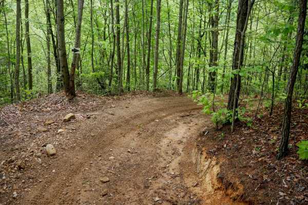
4B
Trail 4B at Brushy Mountain Motorsports Park is a directional, one-way route traveling northwest to southeast, serving as a bailout from Trail 1B to return toward the office and staging area. This half-mile trail features a steep descent, dropping approximately 350 feet in elevation with a few sweep...
Learn more about 4B
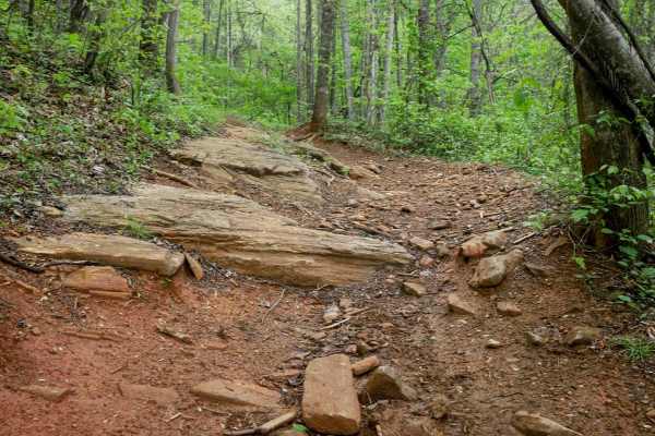
1B Shortcut
The 1B Shortcut is a short, less-than-quarter-mile connector trail linking two segments of Trail 1B. It cuts approximately two miles off the main 1B loop. The trail features a mostly smooth, gradual surface with one minor obstacle: an embedded rock layer creating a small 6-inch drop-off, which is ea...
Learn more about 1B Shortcut
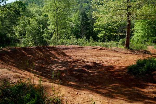
MX Track
Brushy Mountain's motocross track offers a natural terrain loop that's ideal for warming up or honing skills before hitting the trails. With hard pack red dirt and scenic views in the trees, it has medium-sized table jumps and banked berms. The track features split lines, sweeping corners, and natur...
Learn more about MX Track
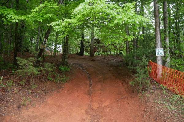
Youth Trail
The Youth Trail at Brushy Mountain Motorsports Park is a 2.1-mile loop starting and ending at the main staging area, featuring a gradual climb followed by a descent. The trail is wide, well-marked at intersections and shortcut points, and offers a very curvy, twisty ride. Riders will encounter small...
Learn more about Youth Trail
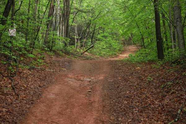
2C
Trail 2C at Brushy Mountain Motorsports Park is a 2.8-mile, easy SxS loop beginning and ending at the main staging area. Riders experience a gradual ascent for the first half, followed by a smooth descent, with one-way travel in a counterclockwise direction. The wide trail surface features mostly sm...
Learn more about 2C
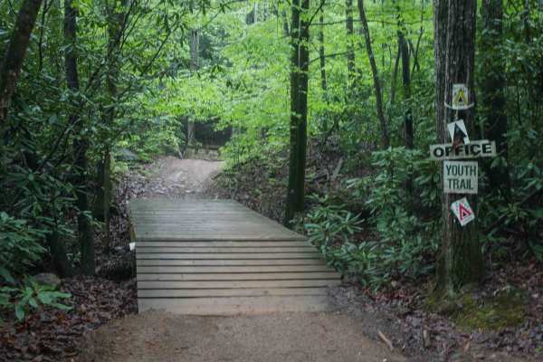
1C
This 1.4-mile off-road trail at Brushy Mountain Motorsports Park near Taylorsville, North Carolina, offers an easy, scenic ride for SxS vehicles, ATVs, and dirt bikes. Starting and ending at the main staging area, the loop features a gradual climb and descent under the pleasant cover of leafy ash an...
Learn more about 1C
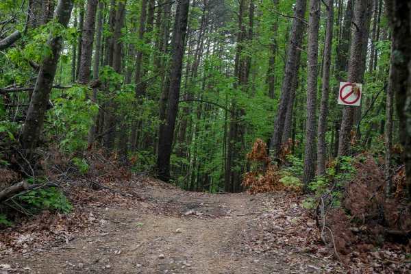
Shortcut
This shortcut provides a quick and efficient connection between the intermediate 1C OHV trail and the easy 1C OHV trail, also frequently used by dirt bikers on the 9C EXT single track. The trail is wide, with waterbars throughout the route, and features a steep ascent that gains 300 feet in just a t...
Learn more about Shortcut
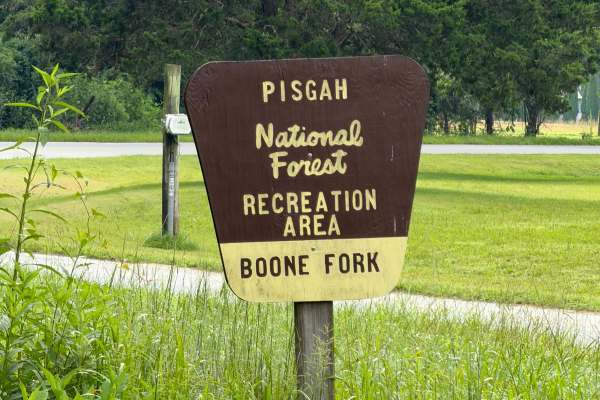
Boone Fork - FS 2055
Coming up onto the trail off of Mulberry Creek Road, you will be met with a gravel road that passes through private properties and eventually leads into the Pisgah National Forest. Upon entering, you will notice it's mainly one vehicle wide, so be sure to share the road. Soon you will be met with a ...
Learn more about Boone Fork - FS 2055
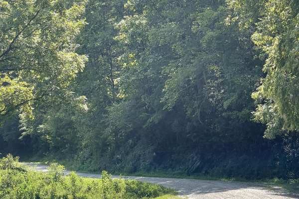
Mulberry Creek Road
Mulberry Creek Road is a scenic addition to the local gravel road network, offering users a relaxing drive through the mountains. This well-maintained, two-lane-wide, hard-packed gravel road follows alongside Mulberry Creek and passes beneath Sand Mountain, which reaches approximately 2,096 feet, an...
Learn more about Mulberry Creek Road
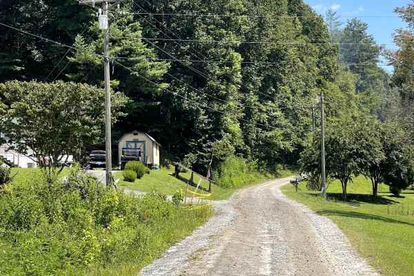
Globe Mountain Road
Globe Mountain Road is a through-route that provides another enjoyable drive through the local off-road network. The road is well maintained, approximately two lanes wide, and consists of a hard-packed gravel surface that is easy to navigate. The trail is free of major obstacles and suitable for mos...
Learn more about Globe Mountain Road
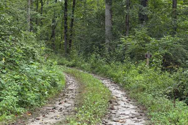
Frankum Creek - FS 188
Coming up onto the trail off of Globe Mountain Road, you will arrive at Frankum Creek - FS 188. Overgrown vegetation covers both sides of the gravel road from beginning to end but is tolerable. During rainy months, some parts of the road can become muddy and rut out which may make it difficult to 2W...
Learn more about Frankum Creek - FS 188
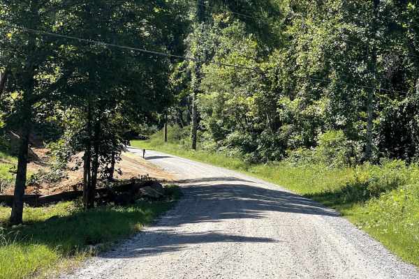
State Route 90
State Route 90 is a well-maintained, two-lane-wide, hard-packed gravel route that connects users with several other trails while also serving as an enjoyable standalone drive. It is easy to see why this route is a local favorite, as visitors are likely to encounter significantly more traffic here th...
Learn more about State Route 90
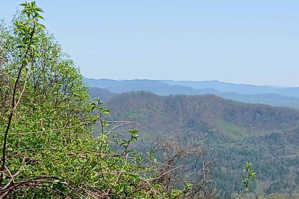
Maple Sally
This dirt road is a scenic drive in the Grandfather District of Pisgah National Forest. It is open year-round and can be traveled in either direction. Gravel bikes and mountain bikes are popular on this road. There are 2 mountain bike trails that either start or finish on this road. There are some c...
Learn more about Maple Sally
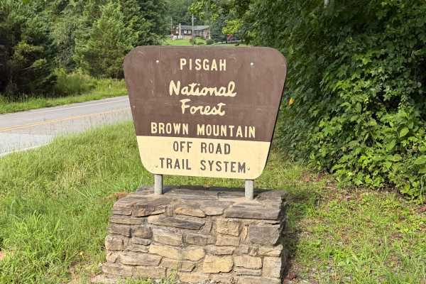
Brown Mountain - FS 299
Brown Mountain Road (Forest Service Road 299) serves as the primary access route to the Brown Mountain OHV Trail System in Pisgah National Forest. This Forest Service road extends approximately 1.25 miles from Brown Mountain Beach Road (SR 1405) to the main OHV trailhead, providing access to parking...
Learn more about Brown Mountain - FS 299
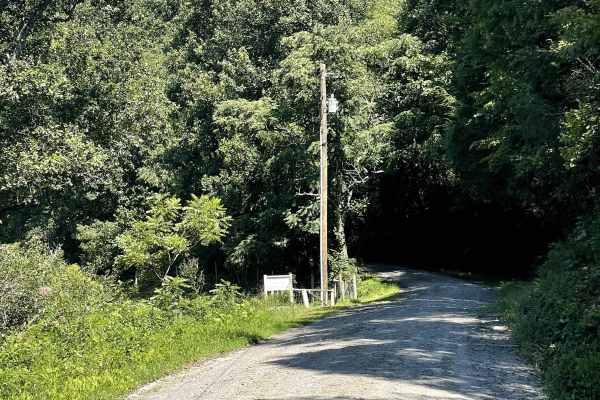
Upton Place
Upton Place is another wonderful addition to the local off-road network. This trail is reasonably well maintained and free of major obstacles, making it suitable for most vehicles. Currently, the route is an out-and-back trail that ends at a closed gate, preventing users from continuing farther alon...
Learn more about Upton Place
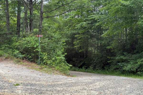
School House Ridge - FS 4068
School House Ridge is a narrower, more overgrown double-track trail that winds through a secluded area of the forest. It is slightly more challenging than other nearby roads due to less frequent maintenance, its narrow width, and the presence of occasional ruts and muddy spots. The trail surface is ...
Learn more about School House Ridge - FS 4068
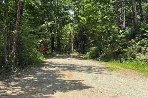
Thunderhole - FS 4071
Thunderhole is a small offshoot of Edgemont Road that features a narrower and slightly rougher trail. The majority of the route is well-maintained gravel, though a few ruts and small muddy sections are scattered throughout. While the trail is accessible to most vehicles, some ground clearance is rec...
Learn more about Thunderhole - FS 4071
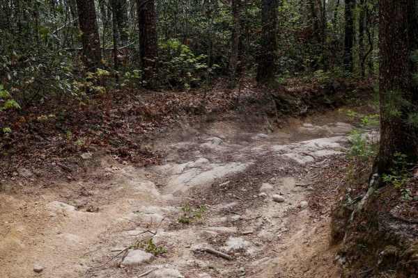
Trail 1B
Trail 1B is a well-maintained 2.5-mile UTV trail in Pisgah National Forest, offering a gradual 600-foot descent from north to south. Suitable for vehicles 65" wide or less, the trail is wide and smooth, featuring cinderblock paths, water bars, and occasional embedded rock slabs--some flush with the ...
Learn more about Trail 1B
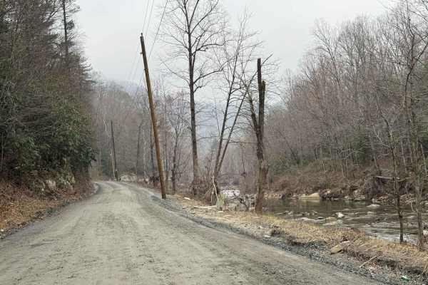
Brown Mountain Beech Road
Brown Mountain Beech Road is a smaller section of a town road that goes through Pisgah National Forest and the North Carolina Wildlife Resource Commission. The road follows Wilson Creek and offers views of the river and evidence of damage caused by Hurricane Helene in 2024. This damage includes dest...
Learn more about Brown Mountain Beech Road
Beginner ATV trails near Cedar Rock, North Carolina
Explore ATV-friendly trails near you. These trails are accessible for vehicles up to 50 inches wide, perfect for ATVs and smaller off-road machines.
Creek Office Return
This two-way trail at Brushy Mountain Motorsports Park begins on the west side at the intersection of Trails 1A, 2A, and 1B. The route starts off narrow between dense bushes before opening slightly as it parallels a scenic creek. Minor loose and embedded rocks are present, but the trail surface is m...
Learn more about Creek Office Return
4B
Trail 4B at Brushy Mountain Motorsports Park is a directional, one-way route traveling northwest to southeast, serving as a bailout from Trail 1B to return toward the office and staging area. This half-mile trail features a steep descent, dropping approximately 350 feet in elevation with a few sweep...
Learn more about 4B
1B Shortcut
The 1B Shortcut is a short, less-than-quarter-mile connector trail linking two segments of Trail 1B. It cuts approximately two miles off the main 1B loop. The trail features a mostly smooth, gradual surface with one minor obstacle: an embedded rock layer creating a small 6-inch drop-off, which is ea...
Learn more about 1B Shortcut
Youth Trail
The Youth Trail at Brushy Mountain Motorsports Park is a 2.1-mile loop starting and ending at the main staging area, featuring a gradual climb followed by a descent. The trail is wide, well-marked at intersections and shortcut points, and offers a very curvy, twisty ride. Riders will encounter small...
Learn more about Youth Trail
Beginner UTV/side-by-side trails near Cedar Rock, North Carolina
Find UTV and side-by-side trails near you. These trails accommodate vehicles up to 60 inches wide, ideal for UTVs, side-by-sides, and wider off-road rigs.
Creek Office Return
This two-way trail at Brushy Mountain Motorsports Park begins on the west side at the intersection of Trails 1A, 2A, and 1B. The route starts off narrow between dense bushes before opening slightly as it parallels a scenic creek. Minor loose and embedded rocks are present, but the trail surface is m...
Learn more about Creek Office Return
4B
Trail 4B at Brushy Mountain Motorsports Park is a directional, one-way route traveling northwest to southeast, serving as a bailout from Trail 1B to return toward the office and staging area. This half-mile trail features a steep descent, dropping approximately 350 feet in elevation with a few sweep...
Learn more about 4B
1B Shortcut
The 1B Shortcut is a short, less-than-quarter-mile connector trail linking two segments of Trail 1B. It cuts approximately two miles off the main 1B loop. The trail features a mostly smooth, gradual surface with one minor obstacle: an embedded rock layer creating a small 6-inch drop-off, which is ea...
Learn more about 1B Shortcut
Youth Trail
The Youth Trail at Brushy Mountain Motorsports Park is a 2.1-mile loop starting and ending at the main staging area, featuring a gradual climb followed by a descent. The trail is wide, well-marked at intersections and shortcut points, and offers a very curvy, twisty ride. Riders will encounter small...
Learn more about Youth Trail
The onX Offroad Difference
onX Offroad combines trail photos, descriptions, difficulty ratings, width restrictions, seasonality, and more in a user-friendly interface. Available on all devices, with offline access and full compatibility with CarPlay and Android Auto. Discover what you're missing today!
Open Trail Map