Mulberry Creek Road

Total Miles2.2
Technical Rating
1Easy
Best TimeSpring, Summer, Fall, Winter
Trail TypeFull-Width Road
Accessible By
Open Trail Map

Trail Overview

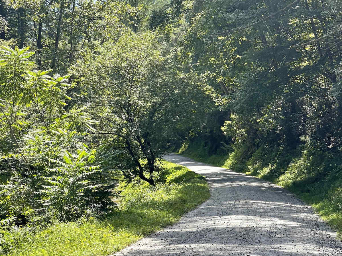
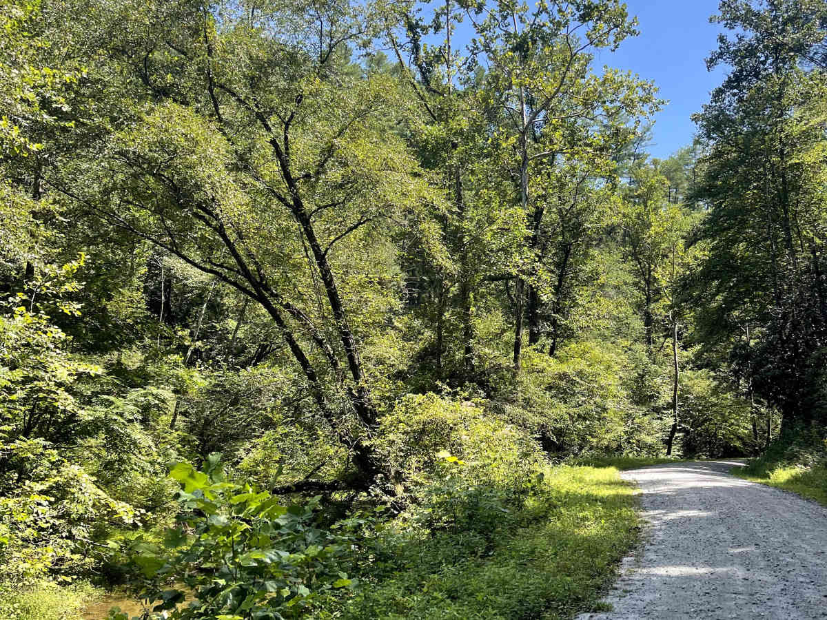
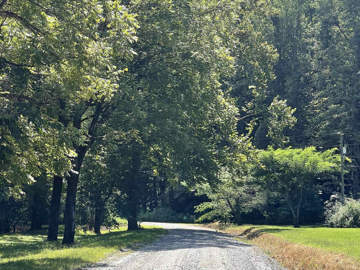
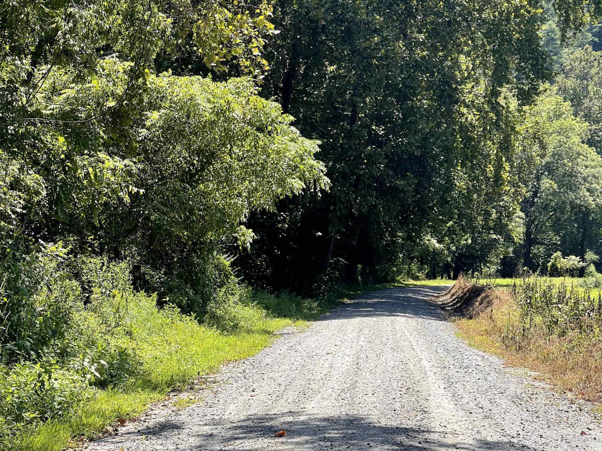
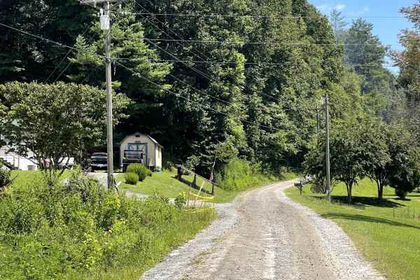
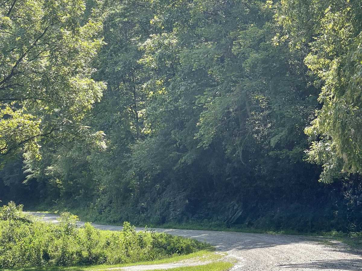
Mulberry Creek Road is a scenic addition to the local gravel road network, offering users a relaxing drive through the mountains. This well-maintained, two-lane-wide, hard-packed gravel road follows alongside Mulberry Creek and passes beneath Sand Mountain, which reaches approximately 2,096 feet, and Hayes Knob, which reaches approximately 1,768 feet. Throughout the route, users are provided with views of both surrounding peaks, creating an enjoyable experience for those looking to explore the area without tackling difficult terrain. The road’s smooth gravel surface and scenic surroundings make it an excellent option for most vehicles. Whether used as a standalone route or combined with other nearby gravel roads, Mulberry Creek Road provides a great opportunity to experience the mountain scenery and natural beauty of the area.

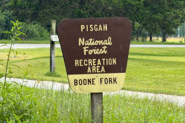
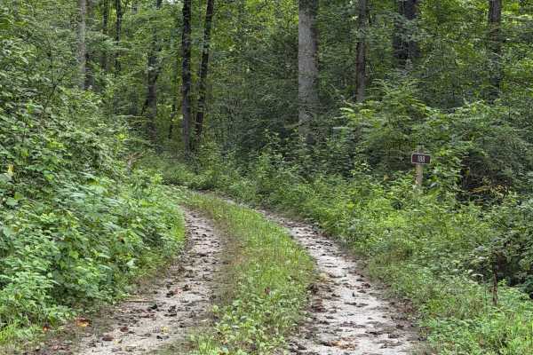
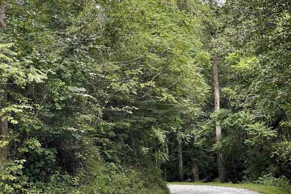
Photos of Mulberry Creek Road

Difficulty

Easy gravel trail suitable for most vehicles.

Technical Rating

1

Mulberry Creek Road Trail can be accessed by the following ride types:

  • High Clearance
  • Full Width

Mulberry Creek Road Map

The onX Offroad Difference

onX Offroad combines trail photos, descriptions, difficulty ratings, width restrictions, seasonality, and more in a user-friendly interface. Available on all devices, with offline access and full compatibility with CarPlay and Android Auto. Discover what you're missing today!

Open Trail Map