Boone Fork - FS 2055

Total Miles1.6
Technical Rating
1Easy
Best TimeSpring, Summer, Fall, Winter
Trail TypeFull-Width Road
Accessible By
Open Trail Map

Trail Overview

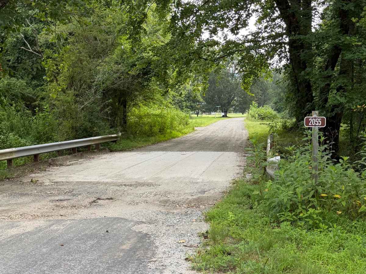
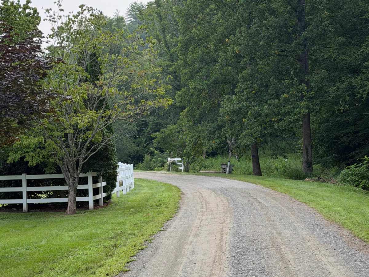
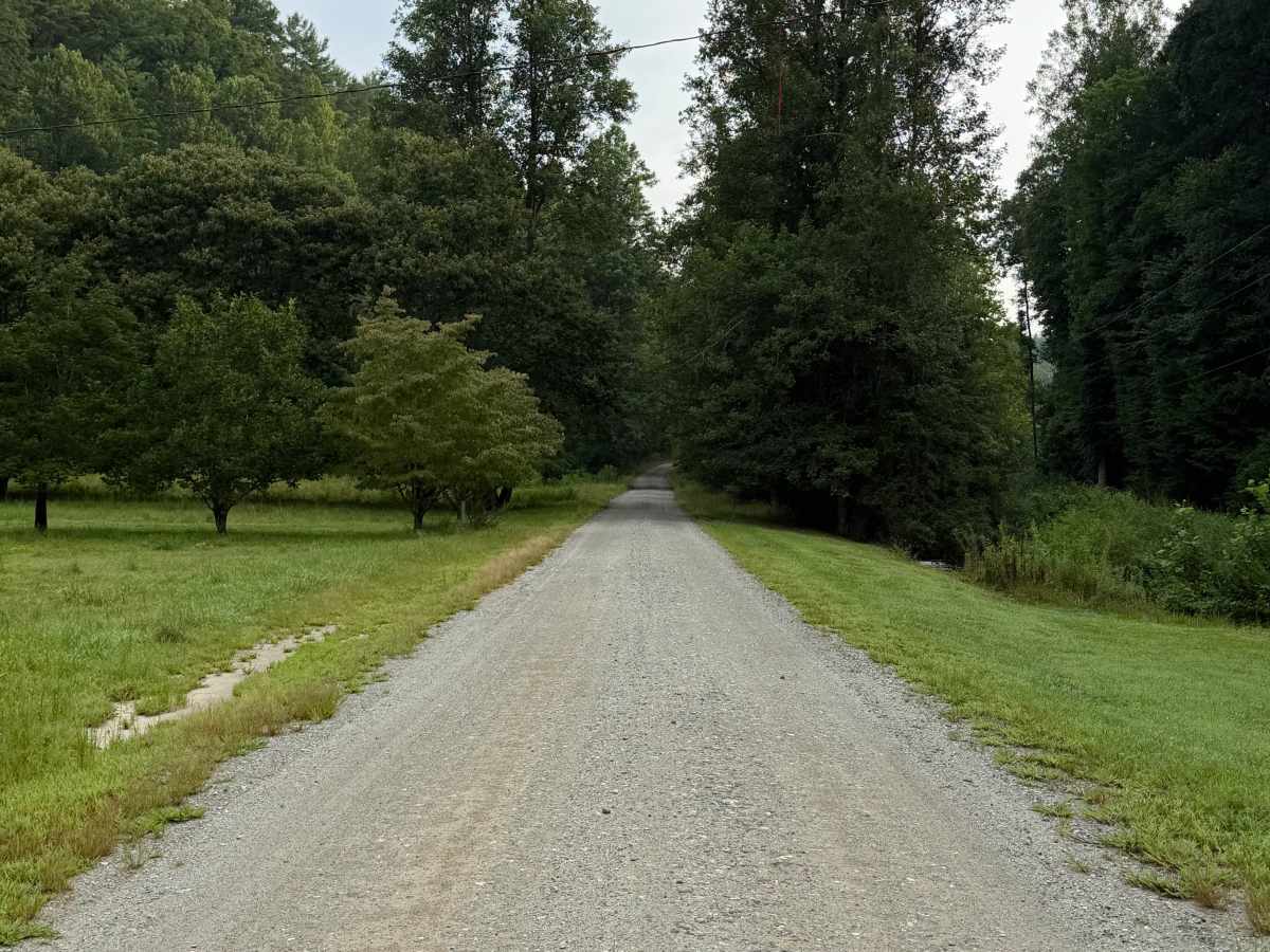
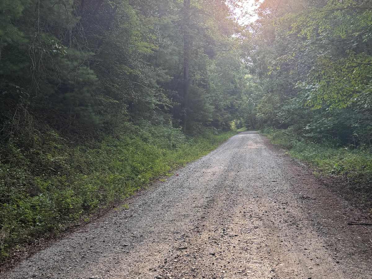
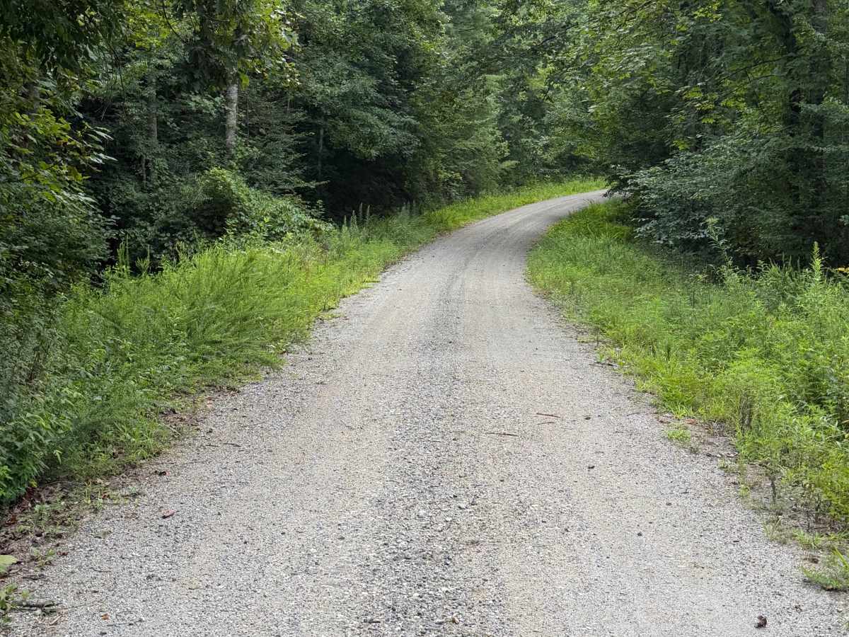
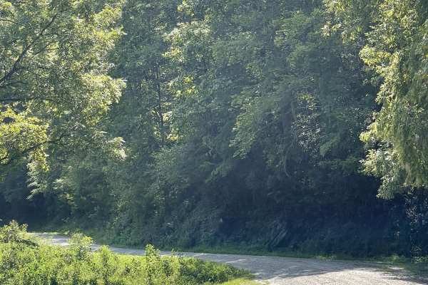
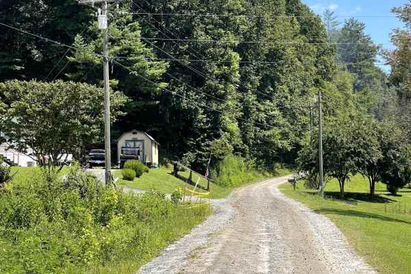
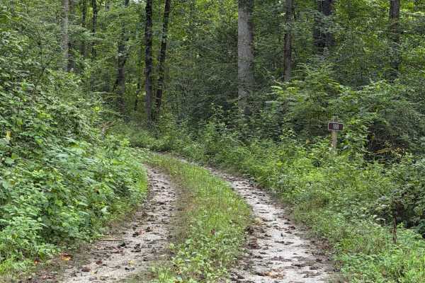
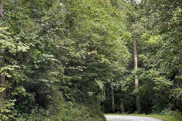
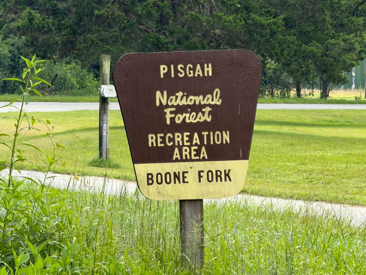
Coming up onto the trail off of Mulberry Creek Road, you will be met with a gravel road that passes through private properties and eventually leads into the Pisgah National Forest. Upon entering, you will notice it's mainly one vehicle wide, so be sure to share the road. Soon you will be met with a closed gate that used to lead to an operational campground but is no longer maintained by the National Forest Service, yet it can still be used for walk-in tent camping. A shelter and dock are located before the gate, which is maintained and kept clean for daily use.

Photos of Boone Fork - FS 2055

Difficulty

Gravel road that is nicely maintained, vehicles may have to pull to the side when passing through but no hard bumps or wash outs are present on this trail. Vehicles anywhere from 2WD to 4WD can access this this route but during winter months, conditions could unexpectedly change due to ice or snow.

History

Boone Fork Campground used to be operational and maintained by the National Forest Service but no longer serviced.

Technical Rating

1

Boone Fork - FS 2055 Trail can be accessed by the following ride types:

  • 60 Inch
  • High Clearance
  • Full Width

Boone Fork - FS 2055 Map

The onX Offroad Difference

onX Offroad combines trail photos, descriptions, difficulty ratings, width restrictions, seasonality, and more in a user-friendly interface. Available on all devices, with offline access and full compatibility with CarPlay and Android Auto. Discover what you're missing today!

Open Trail Map