
Beginner Off-Road Trails
Near Cashiers, North Carolina
Explore All Beginner Trails Near Cashiers, North Carolina
Beginner Off-Road Trails Near Cashiers, North Carolina
Discover the best beginner-friendly off-road trails near you. These easier, lower-rated trails are a great place to start — browse trail maps, check difficulty ratings, and find your next adventure.
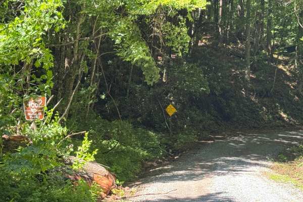
Rock Bridge Road - SR 1140
Rock Bridge Road - SR 1140 is a 1.7-mile point-to-point route that follows a single-lane road with places to pass over a well-maintained, packed dirt and gravel surface. Passing through heavily forested terrain, the route is rated easy and provides a smooth drive with no significant obstacles, makin...
Learn more about Rock Bridge Road - SR 1140
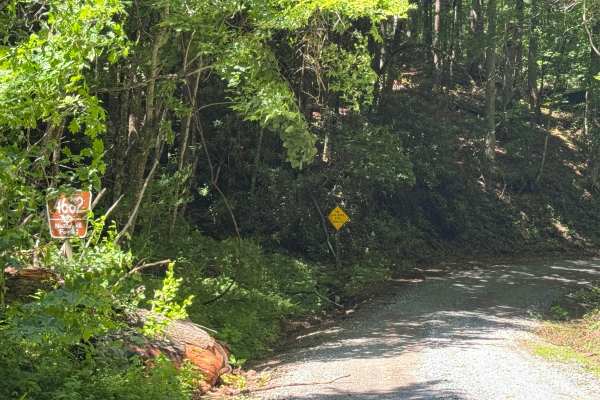
Flat Creek - FS 4662
Flat Creek - FS 4662 is a 2.2-mile out-and-back route that follows a single-lane road with few places to pass over a packed dirt and gravel surface. The road is lightly maintained and travels through heavily forested terrain, providing an easy drive with a smooth surface and no significant obstacles...
Learn more about Flat Creek - FS 4662
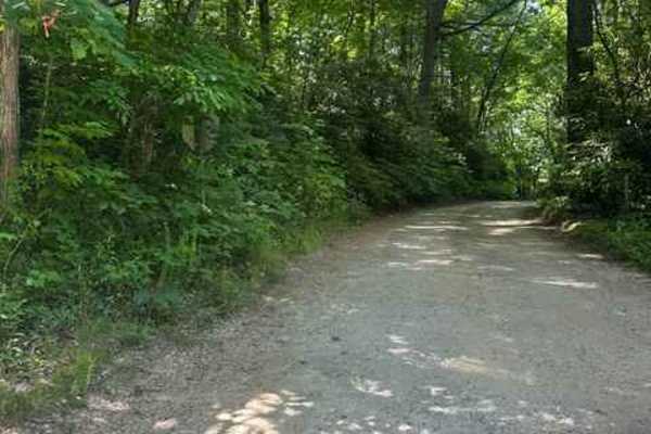
Big Creek Road - FS 4567
FS 4567 Big Creek Road is a well-maintained gravel road that has the very nice Secret Falls Hiking trail directly off of it. This road was 2 miles long and took us about 12 minutes to travel. There was room for 2 vehicles to pass one another comfortably. The Secret Falls hike is closer to the south...
Learn more about Big Creek Road - FS 4567
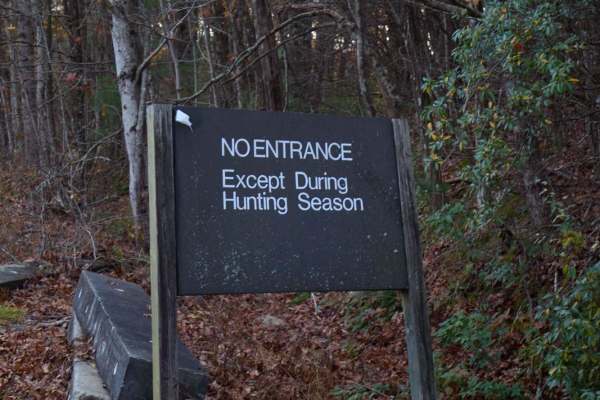
Musterground Road - Part 1
This road is seasonally open during the fall and offers unmatched views of the Blue Ridge Mountains. The first part of this route is very easy to drive and crosses countless bridges over small mountain streams, eventually concluding at a large open campsite along the river. Along the route there is ...
Learn more about Musterground Road - Part 1
Blue Valley Road
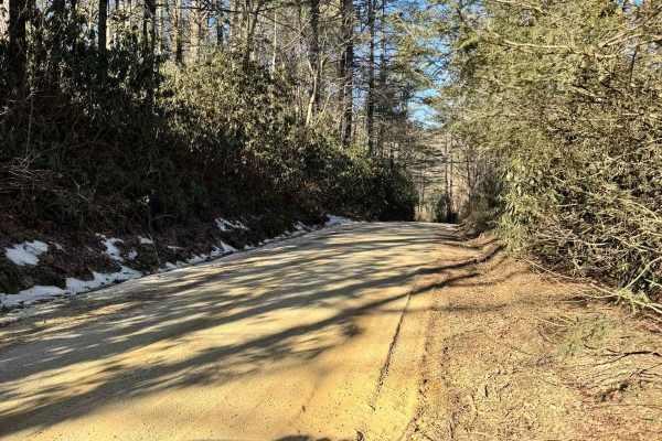
Blue Valley Road winds through the scenic Blue Valley Experimental Forest near Highlands, North Carolina. Starting with a brief stretch of pavement, the road quickly transitions to gravel, passing scattered homes before opening into a serene stretch of dispersed campsites. From here, the road offers...
Learn more about Blue Valley Road
Little Yellow Mountain - FS 367
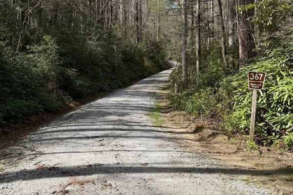
Little Yellow Mountain is a well-maintained gravel road that branches off of Blue Valley Road and connects to Clear Creek Road. It is wide enough for two vehicles most of the way. There are several campsites and minimal cell service. About halfway through, you will be treated to Brook Creek Falls vi...
Learn more about Little Yellow Mountain - FS 367
Brown Gap - FS 77
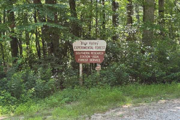
Brown Gap - FS 77 is a 0.9-mile out-and-back route that follows a generously sized single-lane gravel road through heavily forested terrain. The road is well maintained and rated easy, providing a smooth driving surface with straightforward travel throughout its short length. Although brief, the rou...
Learn more about Brown Gap - FS 77
Big Bend - FS 709
Big Bend is a short but beautiful trail that takes you through the dense Sumter National Forest. It provides multiple access points to the Big Bend trail system, which crosses over Crane Creek and leads to the wild and scenic Chattooga River, offering world-class trout fishing and endless hiking. Th...
Learn more about Big Bend - FS 709
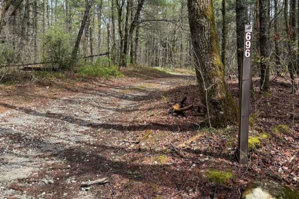
Holcomb Creek - FS 696
Holcomb Creek runs through the Chattahoochee National Forest and connects Billingsley Creek (FS 86B) to Hale Ridge on the Georgia Traverse. This trail is mostly natural with some gravel. It is a single-vehicle wide trail with several places to pass or turn around. After heavy rains, there are a few ...
Learn more about Holcomb Creek - FS 696
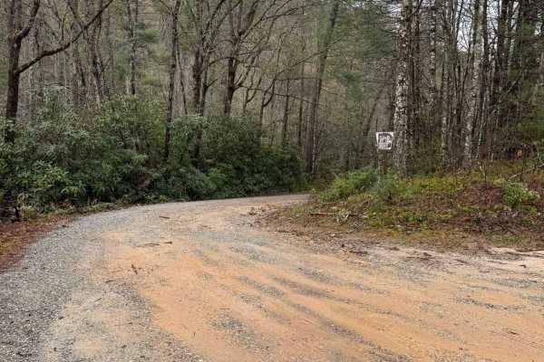
Billingsley Creek - FS 86B
Billingsley Creek - FS 86B branches off of the Georgia Traverse in the Chattahoochee National Forest. It is a gravel road with some 12-18" ruts. At the beginning, there are several large campsites right on Billingsley Creek. Please tread lightly, as the signage makes it clear others haven't done so ...
Learn more about Billingsley Creek - FS 86B
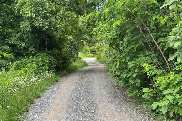
Sugar Creek Gap - FS 4665
Sugar Creek Gap - FS 4665 is a 7.2-mile out-and-back route that follows a generously sized single-lane gravel road with places to pass. The road is well maintained and travels through heavily forested terrain, providing an easy drive with a smooth surface and few obstacles throughout its length. Its...
Learn more about Sugar Creek Gap - FS 4665
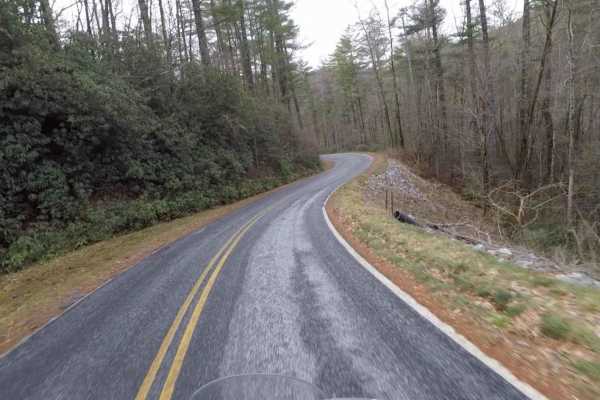
Tri State - SCAR Alternate
This is simply a scenic alternative to the main loop of the South Carolina Adventure Route. It loops around the confluence of South Carolina, North Carolina, and Georgia, extending your ride of the SCAR with some additional trail. About the SCAR: The South Carolina Adventure Route loops through appr...
Learn more about Tri State - SCAR Alternate

Canebrake Road
Canebrake Road is a 5-mile-long gravel road that cuts through the Jocassee Gorges and Laurel Fork Heritage Wildlife Management areas. It is generally open to motorized vehicles from September 15 through January 2 and March 20th through the end of April. The road is open to plated vehicles as well as...
Learn more about Canebrake Road
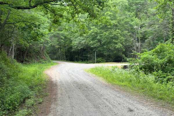
Evans Creek - FS 4621
Evans Creek (FS 4621) is a 1.6-mile out-and-back route that follows a generously sized single-lane road with places to pass over a well-maintained packed dirt and gravel surface. The route travels through heavily forested terrain and is rated easy, offering a smooth driving surface with no significa...
Learn more about Evans Creek - FS 4621
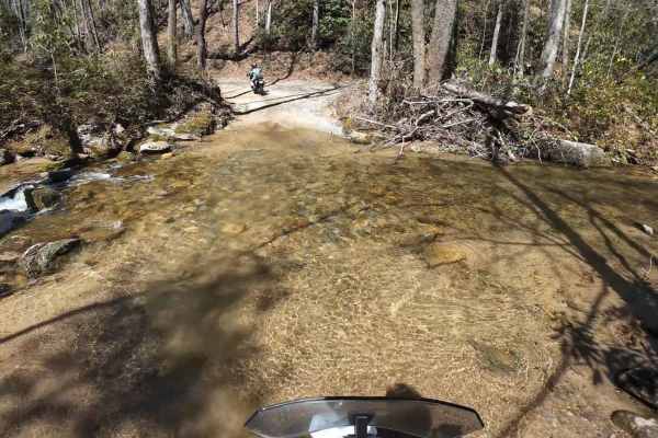
Jackie's Ridge Road
Canebrake Road is a 2.1-mile-long gravel road the road cutting through the Jocassee Gorges and Laurel Fork Heritage Wildlife Management areas. The road is generally open to motorized vehicles from September 15 through January 2 and from March 20th through the end of April. The road is open to plated...
Learn more about Jackie's Ridge Road
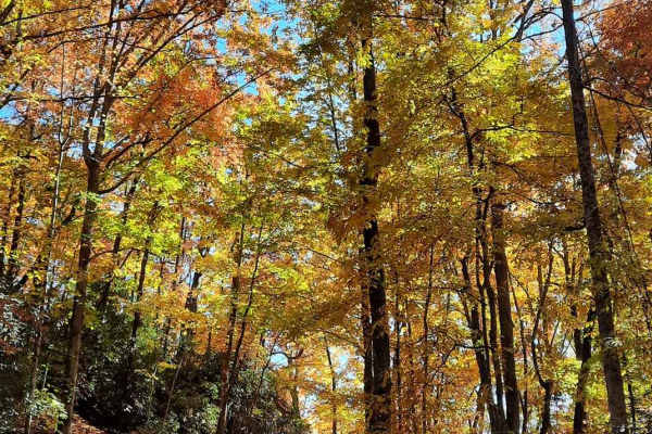
Jumping Off - SCAR Alternate
West of Table Rock you will find this scenic out-and-back diversion. It's a nice addition to add some more challenging riding or driving to the main South Carolina Adventure Route loop. Along its path, you will encounter steep grades which are often rutted and loose.
About the SCAR: The South Carol...
Learn more about Jumping Off - SCAR Alternate
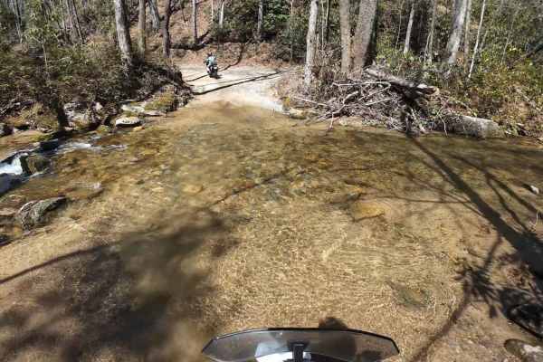
Dawkins Flat Road
Dawkins Flat Road is a 3-mile-long gravel road, the road cutting through the Jocassee Gorges and Laurel Fork Heritage Wildlife Management areas. The road is generally open to motorized vehicles from September 15 through January 2 and March 20th through the end of April. The road is open to plated ve...
Learn more about Dawkins Flat Road
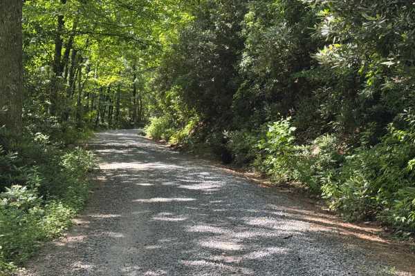
Three Forks - FS 75
Three Forks (FS 75) is a 1-mile out-and-back route that follows a lightly maintained packed dirt and gravel surface through heavily forested terrain. The road is a single lane with places to pass and carries an easy difficulty rating, making it a straightforward drive for most vehicles. A quiet fore...
Learn more about Three Forks - FS 75
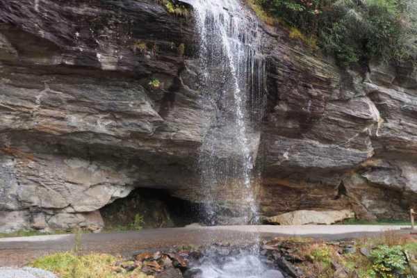
Trans America Trail / SCAR Connector
If you want to connect the Trans America Trail with the South Carolina Adventure Route, this is your path. It's located North of Walhalla, and connects the SCAR to both the TAT and the Smokey Mountain 500 (SM500). The track is primarily gravel and pavement, but contains some steep grades and ruts wh...
Learn more about Trans America Trail / SCAR Connector
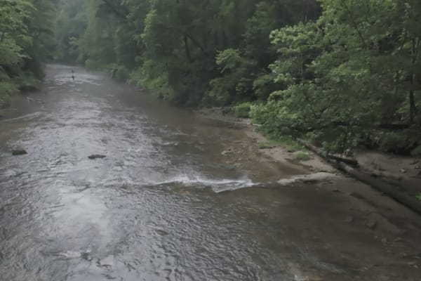
Tottery Pole
Tottery Pole is a side trail of the Georgia Traverse. It runs from FS86 (The Georgia Traverse) in the north and connects to Hale Ridge in the south. The trail is gravel and dirt (with some rocky surfaces) and meanders through Georgia's Chattahoochee National Forest. For part of the trail's path, it ...
Learn more about Tottery Pole
Beginner ATV trails near Cashiers, North Carolina
Explore ATV-friendly trails near you. These trails are accessible for vehicles up to 50 inches wide, perfect for ATVs and smaller off-road machines.
Musterground Road - Part 1
This road is seasonally open during the fall and offers unmatched views of the Blue Ridge Mountains. The first part of this route is very easy to drive and crosses countless bridges over small mountain streams, eventually concluding at a large open campsite along the river. Along the route there is ...
Learn more about Musterground Road - Part 1
Blue Valley Road
Blue Valley Road winds through the scenic Blue Valley Experimental Forest near Highlands, North Carolina. Starting with a brief stretch of pavement, the road quickly transitions to gravel, passing scattered homes before opening into a serene stretch of dispersed campsites. From here, the road offers...
Learn more about Blue Valley Road
Little Yellow Mountain - FS 367
Little Yellow Mountain is a well-maintained gravel road that branches off of Blue Valley Road and connects to Clear Creek Road. It is wide enough for two vehicles most of the way. There are several campsites and minimal cell service. About halfway through, you will be treated to Brook Creek Falls vi...
Learn more about Little Yellow Mountain - FS 367
Billingsley Creek - FS 86B
Billingsley Creek - FS 86B branches off of the Georgia Traverse in the Chattahoochee National Forest. It is a gravel road with some 12-18" ruts. At the beginning, there are several large campsites right on Billingsley Creek. Please tread lightly, as the signage makes it clear others haven't done so ...
Learn more about Billingsley Creek - FS 86B
Beginner UTV/side-by-side trails near Cashiers, North Carolina
Find UTV and side-by-side trails near you. These trails accommodate vehicles up to 60 inches wide, ideal for UTVs, side-by-sides, and wider off-road rigs.
Musterground Road - Part 1
This road is seasonally open during the fall and offers unmatched views of the Blue Ridge Mountains. The first part of this route is very easy to drive and crosses countless bridges over small mountain streams, eventually concluding at a large open campsite along the river. Along the route there is ...
Learn more about Musterground Road - Part 1
Blue Valley Road
Blue Valley Road winds through the scenic Blue Valley Experimental Forest near Highlands, North Carolina. Starting with a brief stretch of pavement, the road quickly transitions to gravel, passing scattered homes before opening into a serene stretch of dispersed campsites. From here, the road offers...
Learn more about Blue Valley Road
Little Yellow Mountain - FS 367
Little Yellow Mountain is a well-maintained gravel road that branches off of Blue Valley Road and connects to Clear Creek Road. It is wide enough for two vehicles most of the way. There are several campsites and minimal cell service. About halfway through, you will be treated to Brook Creek Falls vi...
Learn more about Little Yellow Mountain - FS 367
Big Bend - FS 709
Big Bend is a short but beautiful trail that takes you through the dense Sumter National Forest. It provides multiple access points to the Big Bend trail system, which crosses over Crane Creek and leads to the wild and scenic Chattooga River, offering world-class trout fishing and endless hiking. Th...
Learn more about Big Bend - FS 709
The onX Offroad Difference
onX Offroad combines trail photos, descriptions, difficulty ratings, width restrictions, seasonality, and more in a user-friendly interface. Available on all devices, with offline access and full compatibility with CarPlay and Android Auto. Discover what you're missing today!
Open Trail Map