Brown Gap - FS 77

Total Miles0.9
Technical Rating
2Easy
Best TimeSpring, Summer, Fall, Winter
Trail TypeFull-Width Road
Accessible By
Open Trail Map

Trail Overview

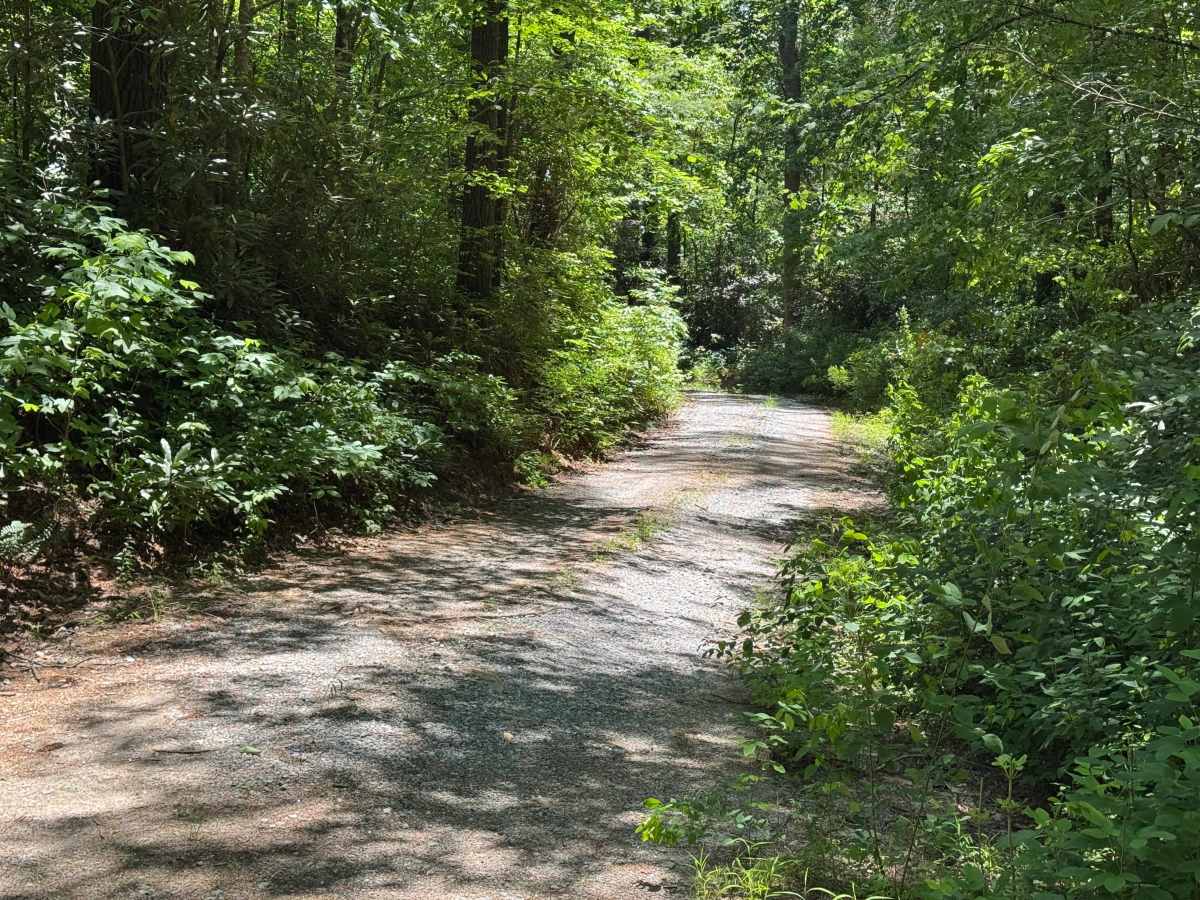
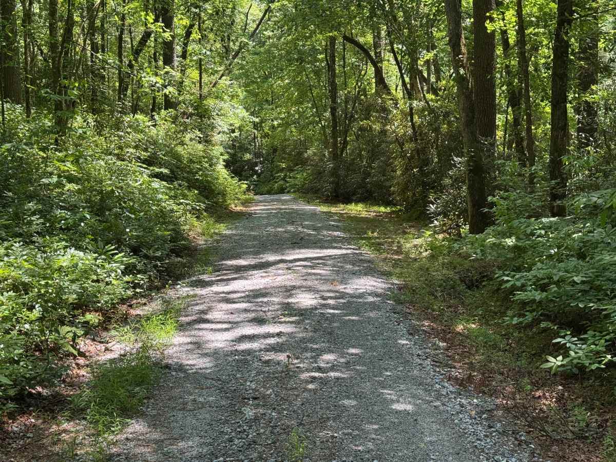
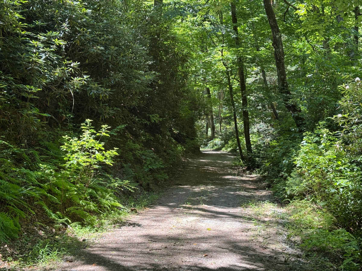
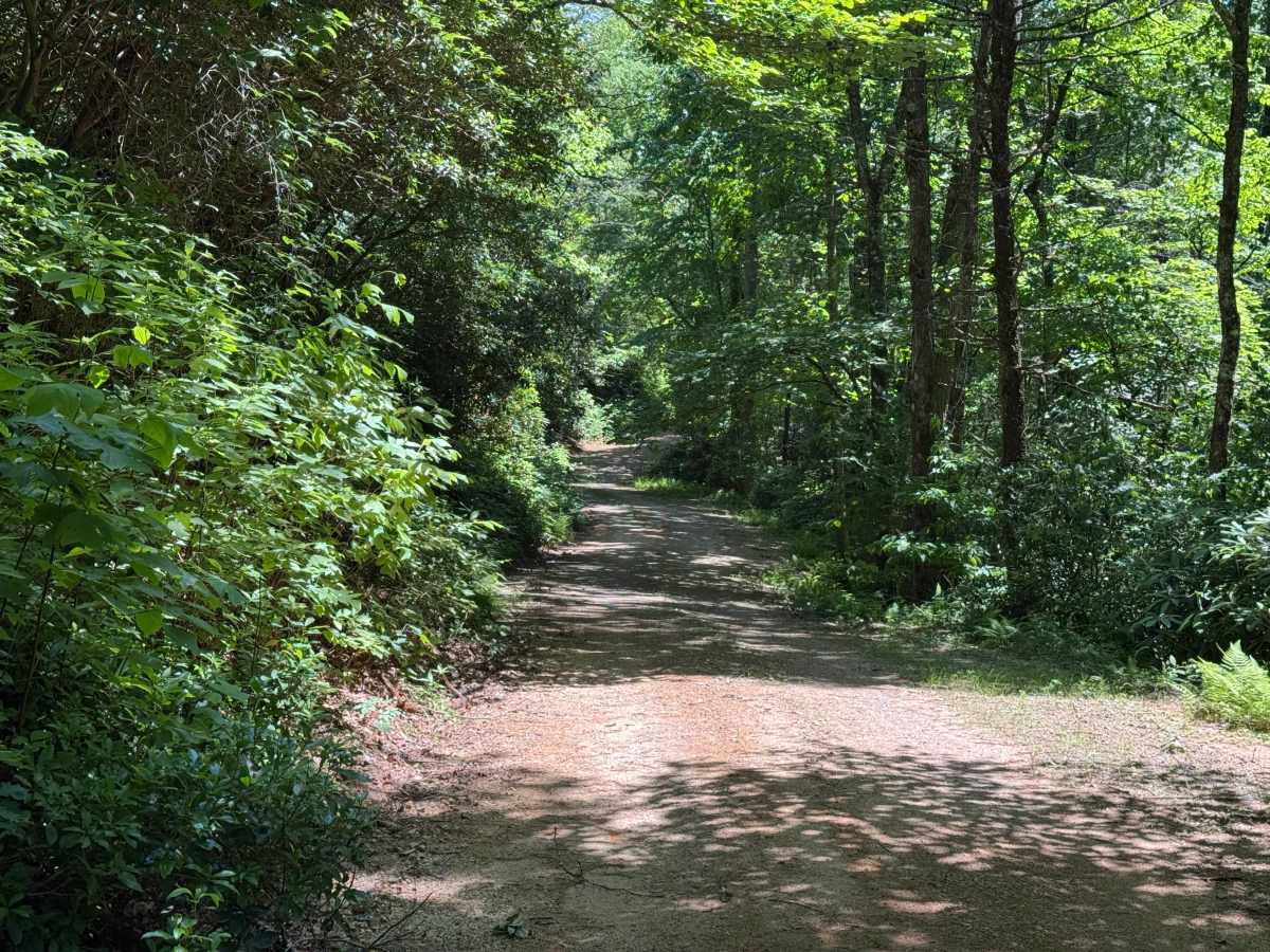
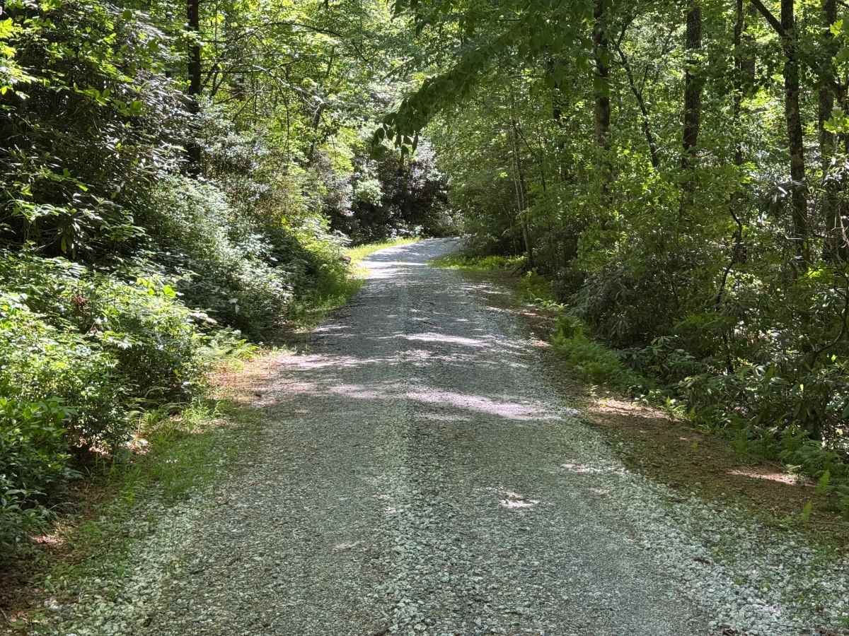
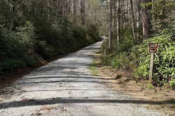
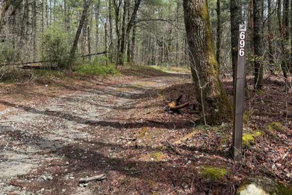
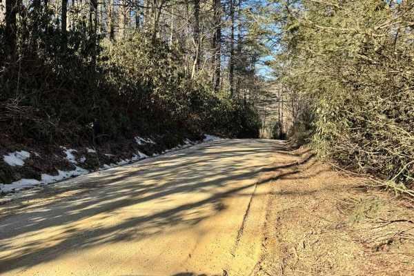
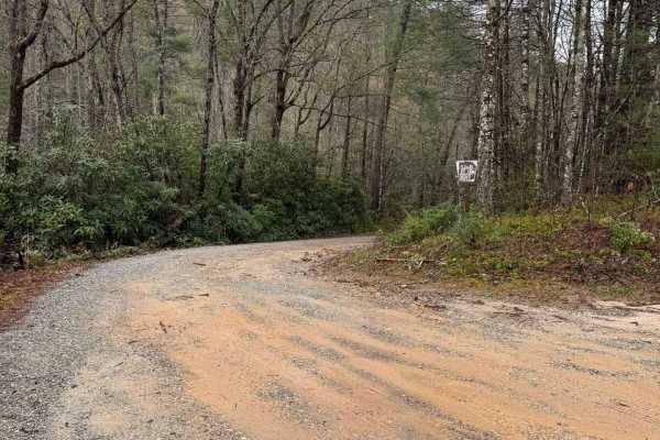
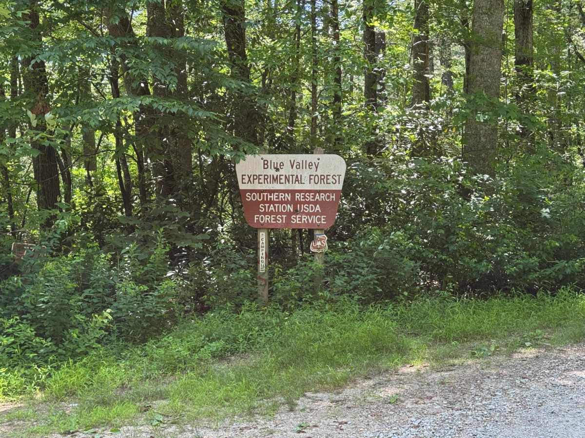
Brown Gap - FS 77 is a 0.9-mile out-and-back route that follows a generously sized single-lane gravel road through heavily forested terrain. The road is well maintained and rated easy, providing a smooth driving surface with straightforward travel throughout its short length. Although brief, the route passes through the Blue Valley Experimental Forest area, where unique runoff water measurement structures can be found alongside the road. These research installations distinguish Brown Gap - FS 77 from many other forest roads while adding interest to an otherwise quiet backcountry drive. The combination of good maintenance, generous width, and uncomplicated terrain makes this a pleasant route for highway-legal vehicles. Access is restricted to highway-legal vehicles only.

Photos of Brown Gap - FS 77

Difficulty

Generous single-lane road with places to pass easily.

Technical Rating

2

Brown Gap - FS 77 Trail can be accessed by the following ride types:

  • High Clearance
  • Full Width

Brown Gap - FS 77 Map

The onX Offroad Difference

onX Offroad combines trail photos, descriptions, difficulty ratings, width restrictions, seasonality, and more in a user-friendly interface. Available on all devices, with offline access and full compatibility with CarPlay and Android Auto. Discover what you're missing today!

Open Trail Map