
Beginner Off-Road Trails
Near Campbell Station, Arkansas
Explore All Beginner Trails Near Campbell Station, Arkansas
Beginner Off-Road Trails Near Campbell Station, Arkansas
Discover the best beginner-friendly off-road trails near you. These easier, lower-rated trails are a great place to start — browse trail maps, check difficulty ratings, and find your next adventure.
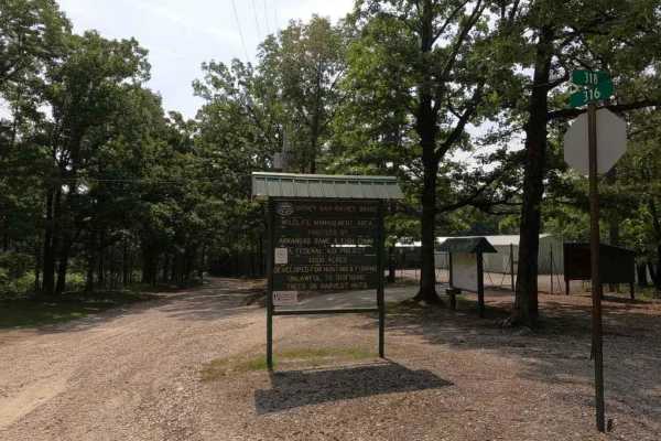
Rainey Brake WMA Road
The Rainey Brake WMA Road, or Lawrence Road 316, is a road through the western side of the Shirley Bay Rainey Brake Wildlife Management Area. The road is a casual gravel ride down to and through the swampy lowlands west of the Black River and the bottoms that surround it. The road is generally flat ...
Learn more about Rainey Brake WMA Road
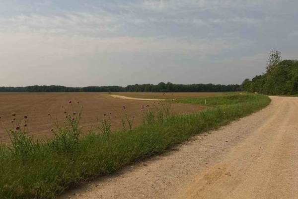
Thistle Bottoms
Thistle Bottoms is a group of Lawrence County Roads (301, 303, 309, and 317) that when joined together give a great context to the low-laying bottoms along the stretch of the Black River that exists between Lake Charles State Park and the Shirley Bay Rainey Brake Wildlife Management Area. When drivi...
Learn more about Thistle Bottoms
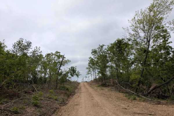
1113
This trail begins as a relatively wide and well-maintained road but gradually narrows and becomes bumpier and rockier as you continue. The trail winds through beautiful old-growth forest, passing pockets of private land with cabins and mobile homes. Further along, the landscape shows extensive damag...
Learn more about 1113
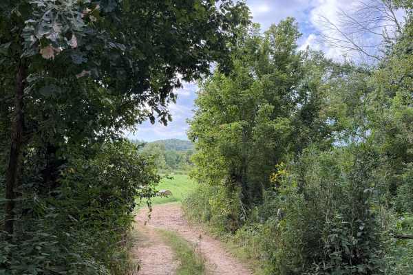
Dorsey South
Paradise Bend branches off of Rivers End Trail and brings you into a whole new world of beauty. This trail offers a beautiful scenic drive that would be easy for most vehicles. Summertime, fall, and spring would be the best time to check this trail. For the most part this trail is very smooth drivin...
Learn more about Dorsey South
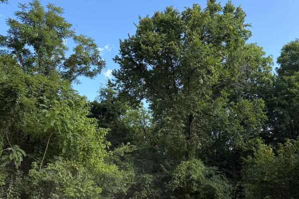
Norths Camp
Norths End trail is a very short and easy trail, but offers some of the best camping in the area. This trail also offers an amazing scenic drive showcasing the formations and rocks in the area. Some of the camping spots along this trail are right next to the river which is always good camping.
Learn more about Norths Camp
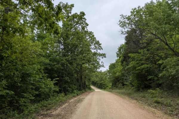
Hayden Road
Hayden Road is a maintained trail as of late April 2025, offering a scenic drive through beautiful old-growth forest. The route features relatively steep ascents and descents, with sections that can be bumpy and rocky. Several hiking and biking trails branch off from the main road, inviting further ...
Learn more about Hayden Road
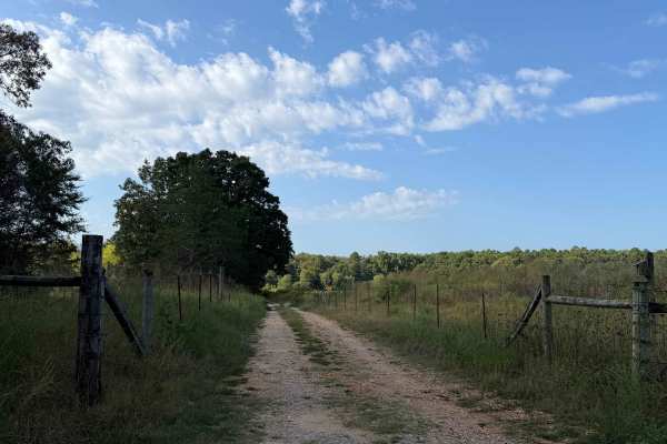
Optimus Hill
Optimus Hill is a short, but fun and beautiful trail coming in off of Hyden Road. You will go through a gate that opens up to some beautiful fields. Heading south you will run accross some uneven rutted terrain that can be done by most vehicles. Towards the end of this trail past the large rock stan...
Learn more about Optimus Hill
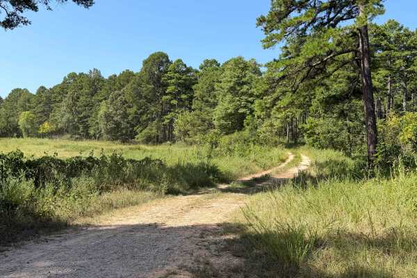
Hornets Run - FS 91089B
Hornets Run is another short and easy trail that can be accessed from Rivers End or from a connecting trail with Optimus Hill. Starting this trail from the North end and heading south there are some small whoops. Going forward you will see a few rutted out areas. There is another trail that looks li...
Learn more about Hornets Run - FS 91089B
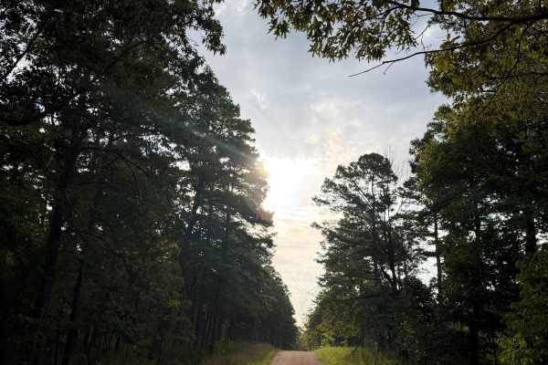
Hyden Road
Rivers End is a very easy gravel road trail. The trail has multiple off shoots that have great campings spots and very nice trails. The end of this trail (hence the name) is what makes this trail special. At the end of this trail you will find a round about sand area for you to park your vehicle(s) ...
Learn more about Hyden Road
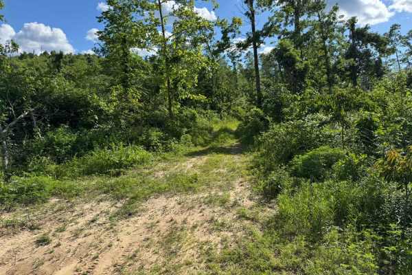
91038K
This shorter route travels through an area that still shows signs of heavy storm damage, with large sections of downed timber, broken tree lines, and scattered debris that appear to have been caused by a past tornado. Portions of the route open into wide clearings filled with tall grass, wildflowers...
Learn more about 91038K
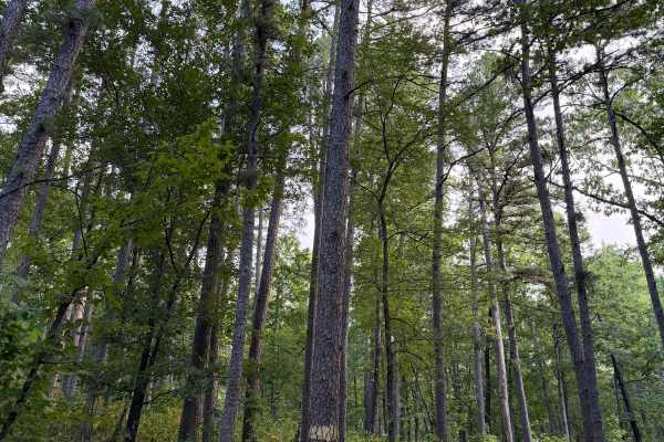
Climbers Loop - FS 91038E
Climbers loop starts off of Bee Hollow Trail and heads East going uphill on some loos/rocky terrain. You will pass a few small creek crossings that are normally dry during summer but can have some flow during heavy rain or spring and fall seasons. This terrain varries from loose small rock to sand s...
Learn more about Climbers Loop - FS 91038E
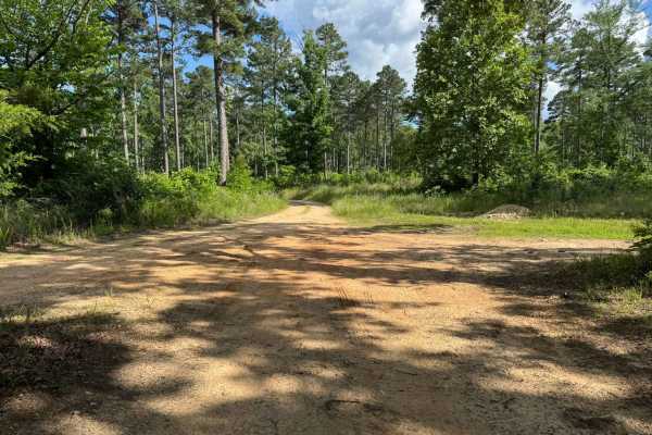
Bee Hollow
This route winds through dense forest sections, narrow pine corridors, and areas still recovering from what appears to be past tornado damage. Tight vegetation and overgrowth crowd the path in several spots, making pinstriping and paint scratches very likely on wider vehicles. The route features a m...
Learn more about Bee Hollow
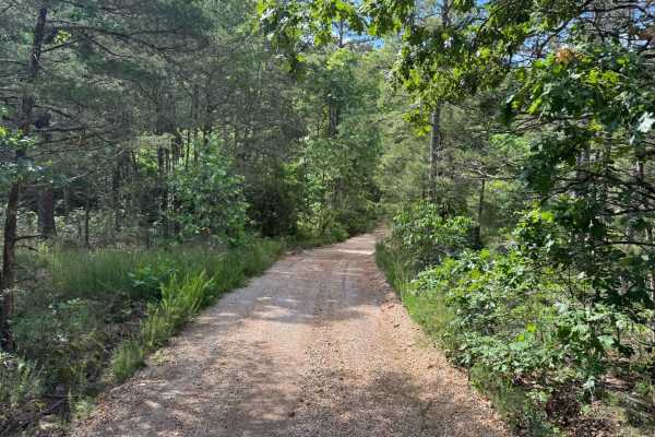
Forest Home Lane
This fairly maintained forest route winds through dense pine and hardwood woods with a mostly smooth dirt and gravel surface. The route is roughly 1.5 vehicles wide depending on the width of your vehicle, with enough room for most full-size rigs to travel comfortably while still feeling enclosed by ...
Learn more about Forest Home Lane
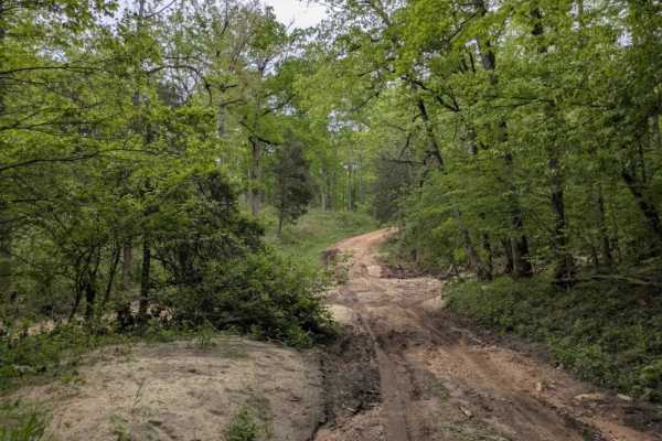
Sandy Flats
Sandy Flats is a maintained trail that shows clear signs of storm damage and features several steep ascents and descents, particularly as the route drops down into a creek. The creek crossing has a muddy bottom and no concrete bridge, which could make it challenging to navigate during or after heavy...
Learn more about Sandy Flats
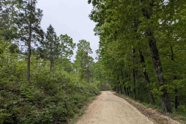
1102
Trail 1113 is a long, winding route that passes through beautiful forest and either begins or ends near a cluster of homesteads off the paved road. The trail surface is rocky and bumpy in sections, with visible storm damage, and includes several steep ascents and descents. As one of the main trails ...
Learn more about 1102
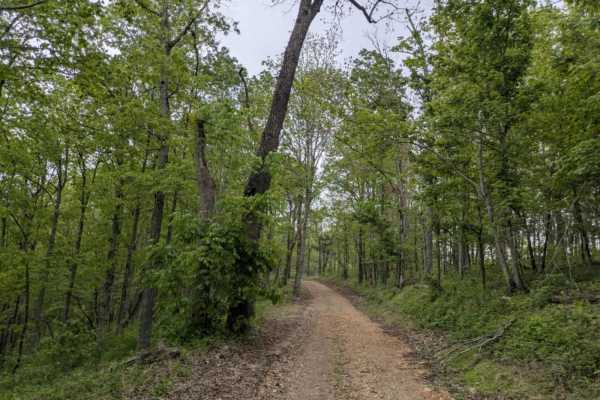
Gunner Pool Road
This wide and well-maintained trail descends toward the Gunner Pool Recreation Area, a scenic campground set along a river with both deep and shallow swimming areas. It is a peaceful place to camp and explore the forest during the week, although weekends can become quite busy and noisy. As one of th...
Learn more about Gunner Pool Road
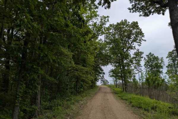
1119
Trail 1119 is a narrow, winding route that is well maintained but features frequent bumps, rocky sections, and visible storm damage in some areas. The trail includes several steep ascents and descents and appears to be a popular area for hunters. Dispersed campsites are available along the way, with...
Learn more about 1119
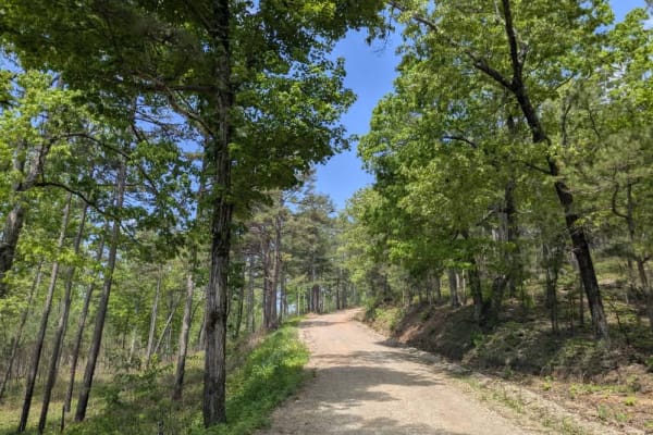
1101 Road
This long and winding trail travels through scenic forests and passes by private lands, including several well-kept homesteads situated near the midpoint. Although the route consists primarily of maintained gravel, drivers should expect some rougher areas featuring bumps, rocks, muddy sections, and ...
Learn more about 1101 Road
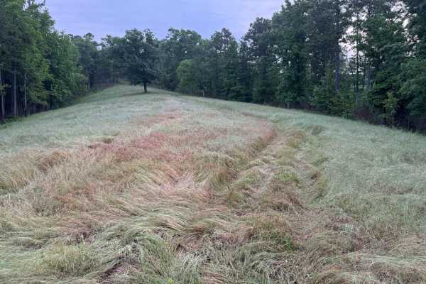
91042S
This scenic ridge top trail winds through a mix of hardwood forest, scattered pines, and open grassy clearings deep within the Ozarks. The route follows along the ridge line, offering elevated views through the trees where you can see layers of green canopy stretching across the surrounding hillside...
Learn more about 91042S
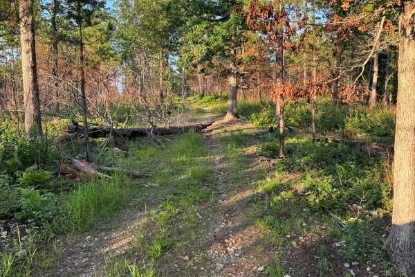
91080C
This out and back route winds through a quiet mix of hardwood forest, and open grassy meadows. The trail itself is a narrow two-track with sections of loose gravel, grass growing in the middle, and light overgrowth pushing in from the sides. Along the wooded portions, a couple of fallen trees have p...
Learn more about 91080C
Beginner ATV trails near Campbell Station, Arkansas
Explore ATV-friendly trails near you. These trails are accessible for vehicles up to 50 inches wide, perfect for ATVs and smaller off-road machines.
1113
This trail begins as a relatively wide and well-maintained road but gradually narrows and becomes bumpier and rockier as you continue. The trail winds through beautiful old-growth forest, passing pockets of private land with cabins and mobile homes. Further along, the landscape shows extensive damag...
Learn more about 1113
Hayden Road
Hayden Road is a maintained trail as of late April 2025, offering a scenic drive through beautiful old-growth forest. The route features relatively steep ascents and descents, with sections that can be bumpy and rocky. Several hiking and biking trails branch off from the main road, inviting further ...
Learn more about Hayden Road
Climbers Loop - FS 91038E
Climbers loop starts off of Bee Hollow Trail and heads East going uphill on some loos/rocky terrain. You will pass a few small creek crossings that are normally dry during summer but can have some flow during heavy rain or spring and fall seasons. This terrain varries from loose small rock to sand s...
Learn more about Climbers Loop - FS 91038E
Sandy Flats
Sandy Flats is a maintained trail that shows clear signs of storm damage and features several steep ascents and descents, particularly as the route drops down into a creek. The creek crossing has a muddy bottom and no concrete bridge, which could make it challenging to navigate during or after heavy...
Learn more about Sandy Flats
Beginner UTV/side-by-side trails near Campbell Station, Arkansas
Find UTV and side-by-side trails near you. These trails accommodate vehicles up to 60 inches wide, ideal for UTVs, side-by-sides, and wider off-road rigs.
1113
This trail begins as a relatively wide and well-maintained road but gradually narrows and becomes bumpier and rockier as you continue. The trail winds through beautiful old-growth forest, passing pockets of private land with cabins and mobile homes. Further along, the landscape shows extensive damag...
Learn more about 1113
Hayden Road
Hayden Road is a maintained trail as of late April 2025, offering a scenic drive through beautiful old-growth forest. The route features relatively steep ascents and descents, with sections that can be bumpy and rocky. Several hiking and biking trails branch off from the main road, inviting further ...
Learn more about Hayden Road
Climbers Loop - FS 91038E
Climbers loop starts off of Bee Hollow Trail and heads East going uphill on some loos/rocky terrain. You will pass a few small creek crossings that are normally dry during summer but can have some flow during heavy rain or spring and fall seasons. This terrain varries from loose small rock to sand s...
Learn more about Climbers Loop - FS 91038E
Sandy Flats
Sandy Flats is a maintained trail that shows clear signs of storm damage and features several steep ascents and descents, particularly as the route drops down into a creek. The creek crossing has a muddy bottom and no concrete bridge, which could make it challenging to navigate during or after heavy...
Learn more about Sandy Flats
The onX Offroad Difference
onX Offroad combines trail photos, descriptions, difficulty ratings, width restrictions, seasonality, and more in a user-friendly interface. Available on all devices, with offline access and full compatibility with CarPlay and Android Auto. Discover what you're missing today!
Open Trail Map