Caney

Total Miles3
Technical Rating
2Easy
Best TimeSpring, Summer, Fall, Winter
Trail TypeFull-Width Road
Accessible By
Open Trail Map

Trail Overview

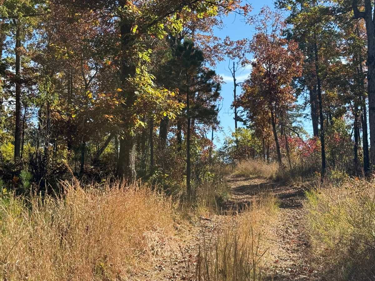
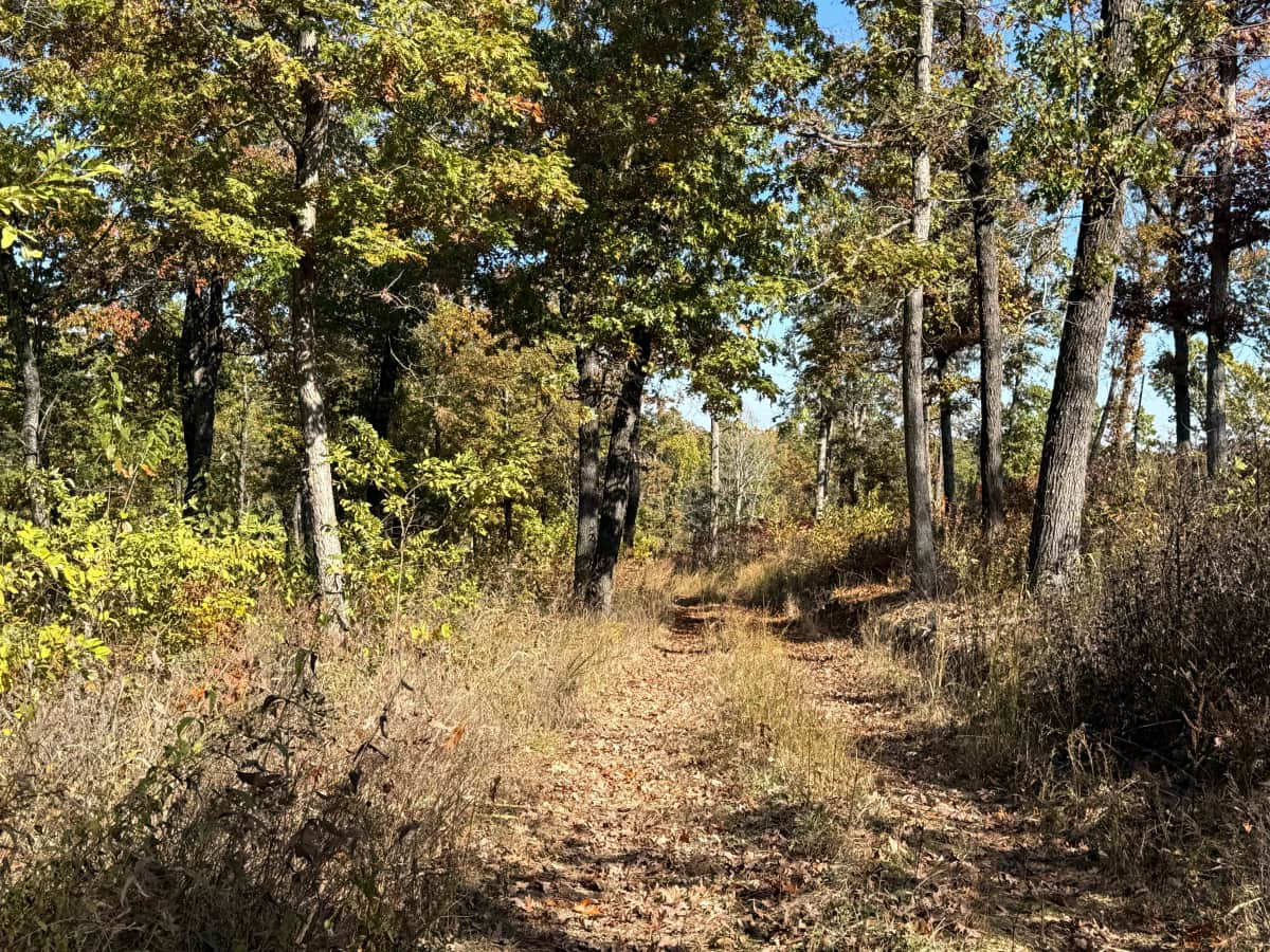
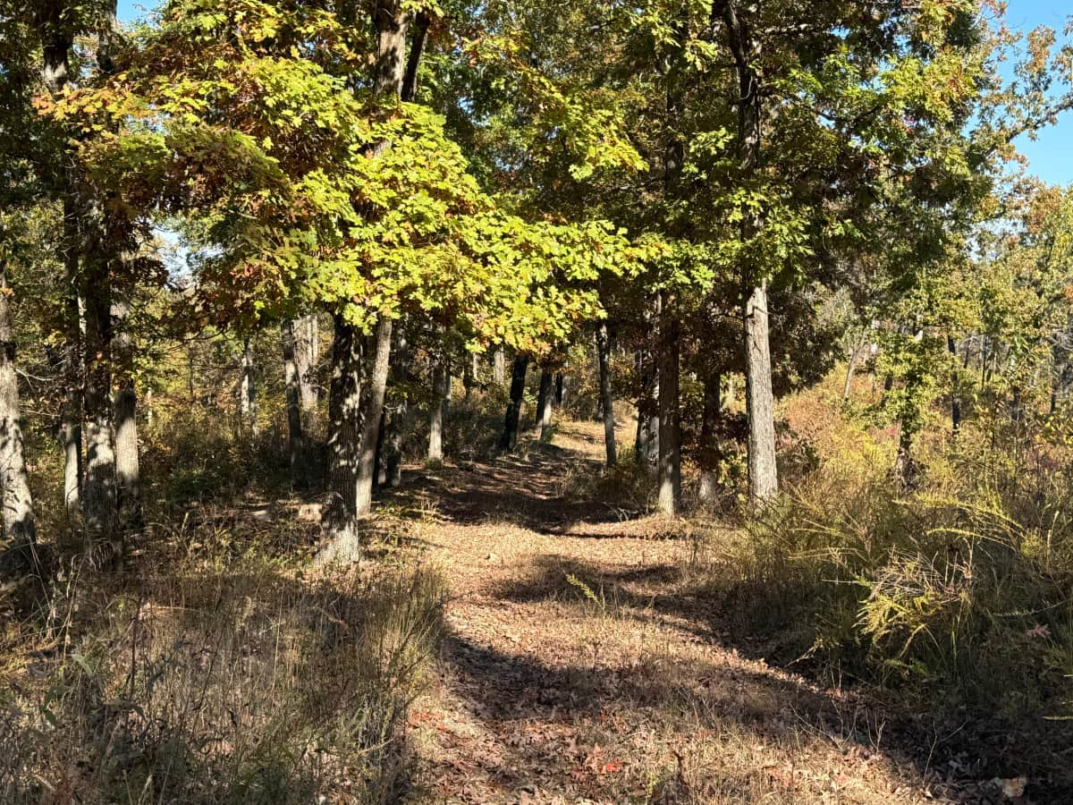
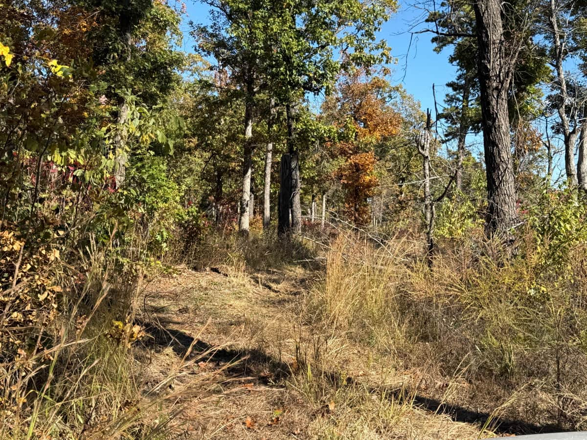
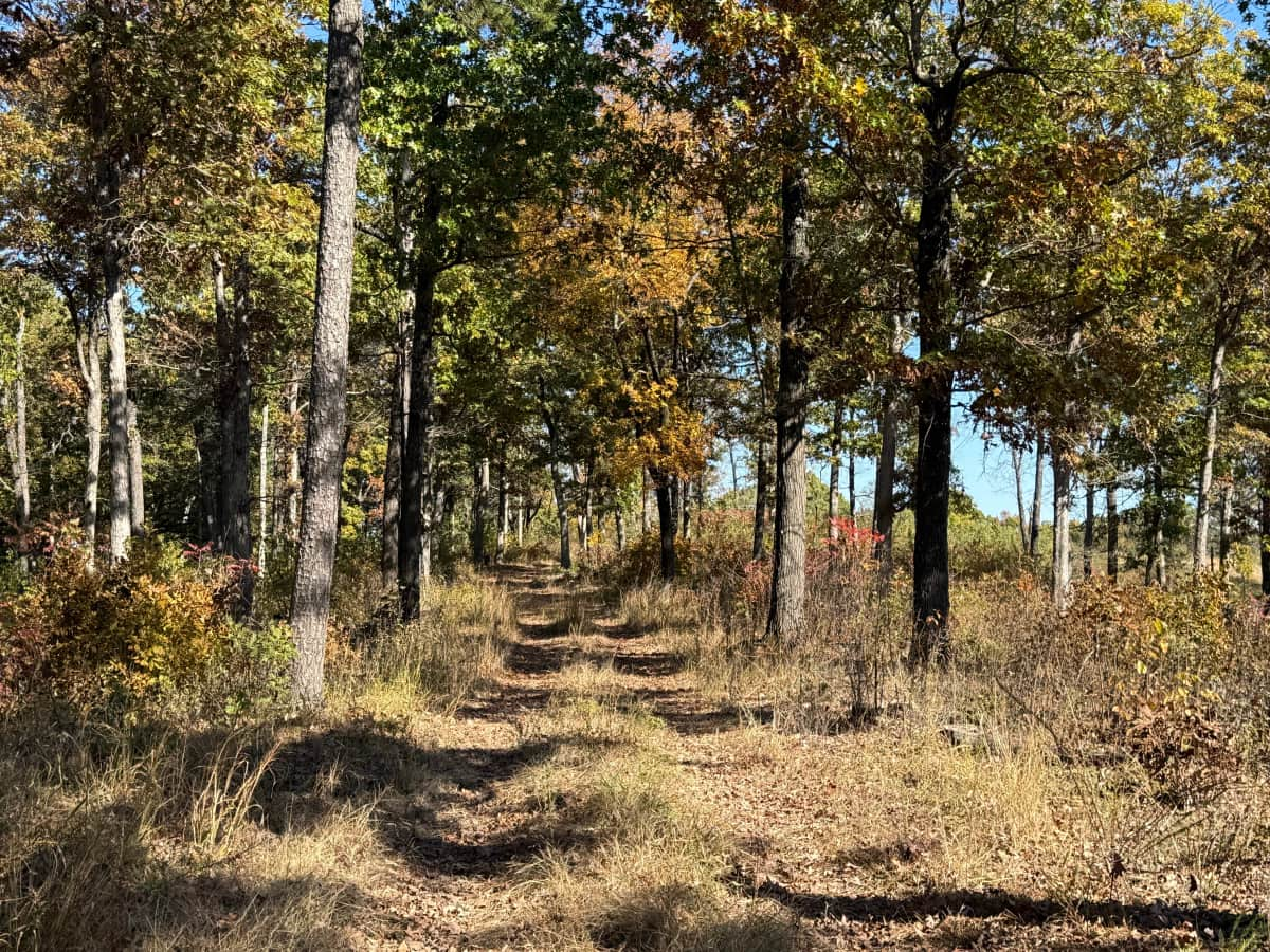
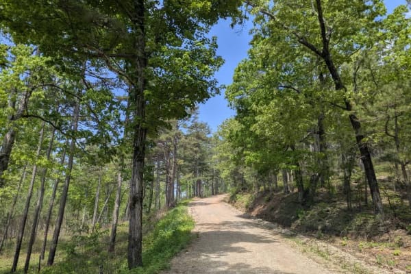
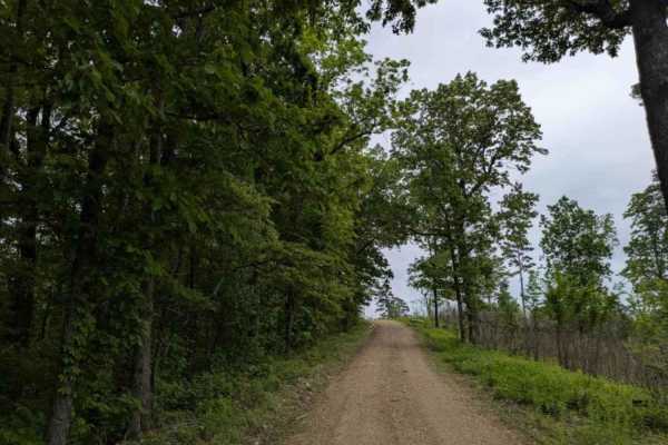
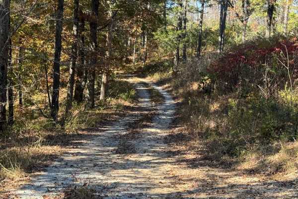
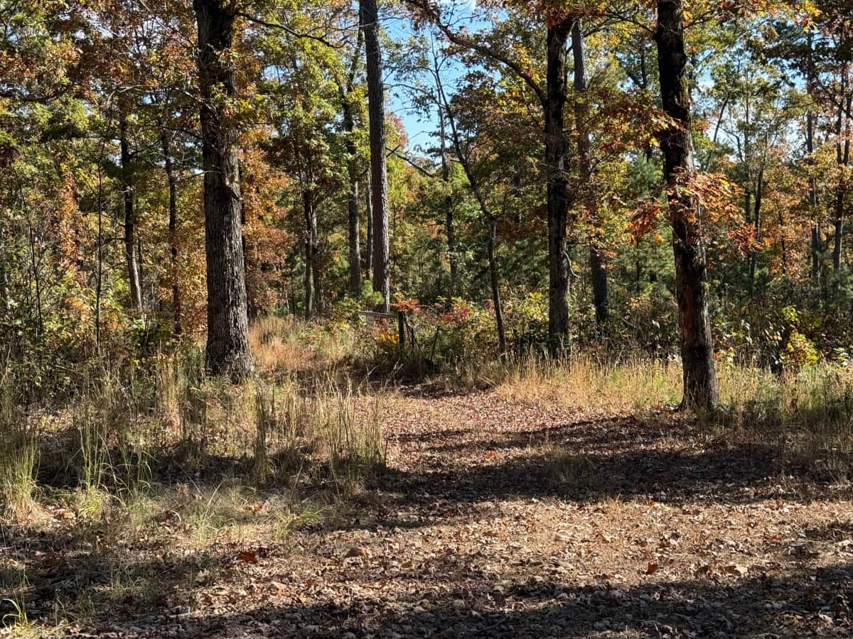
This winding dirt road is covered with gravel in some sections and is very narrow, with vegetation encroaching on the route. Sage grass grows along the center of approximately 60% of the road, and wider vehicles should expect possible pinstripes. The road follows a ridgeline through a mixture of pine and hardwood forests and ends at a large planted field overlooking Caney Hollow to the west, Hurricane Hollow to the east, and West Livingston Creek to the south. Several areas have significant tree damage from past storms, and partially fallen trees may obstruct portions of the road. The route also has some rutting and off-camber sections, although neither prevents travel. Two wildlife-attracting areas with planted fields are located along the route; use caution during hunting season.

Photos of Caney

Difficulty

The areas that are washed have caused rutting. There are several areas that are off-camber. The road is very narrow, with overgrown vegetation.

Technical Rating

2

Caney Trail can be accessed by the following ride types:

  • High Clearance
  • Full Width

Caney Map

The onX Offroad Difference

onX Offroad combines trail photos, descriptions, difficulty ratings, width restrictions, seasonality, and more in a user-friendly interface. Available on all devices, with offline access and full compatibility with CarPlay and Android Auto. Discover what you're missing today!

Open Trail Map