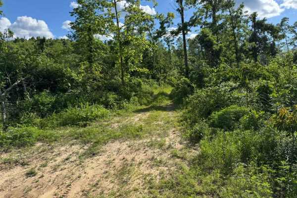
Trail Overview
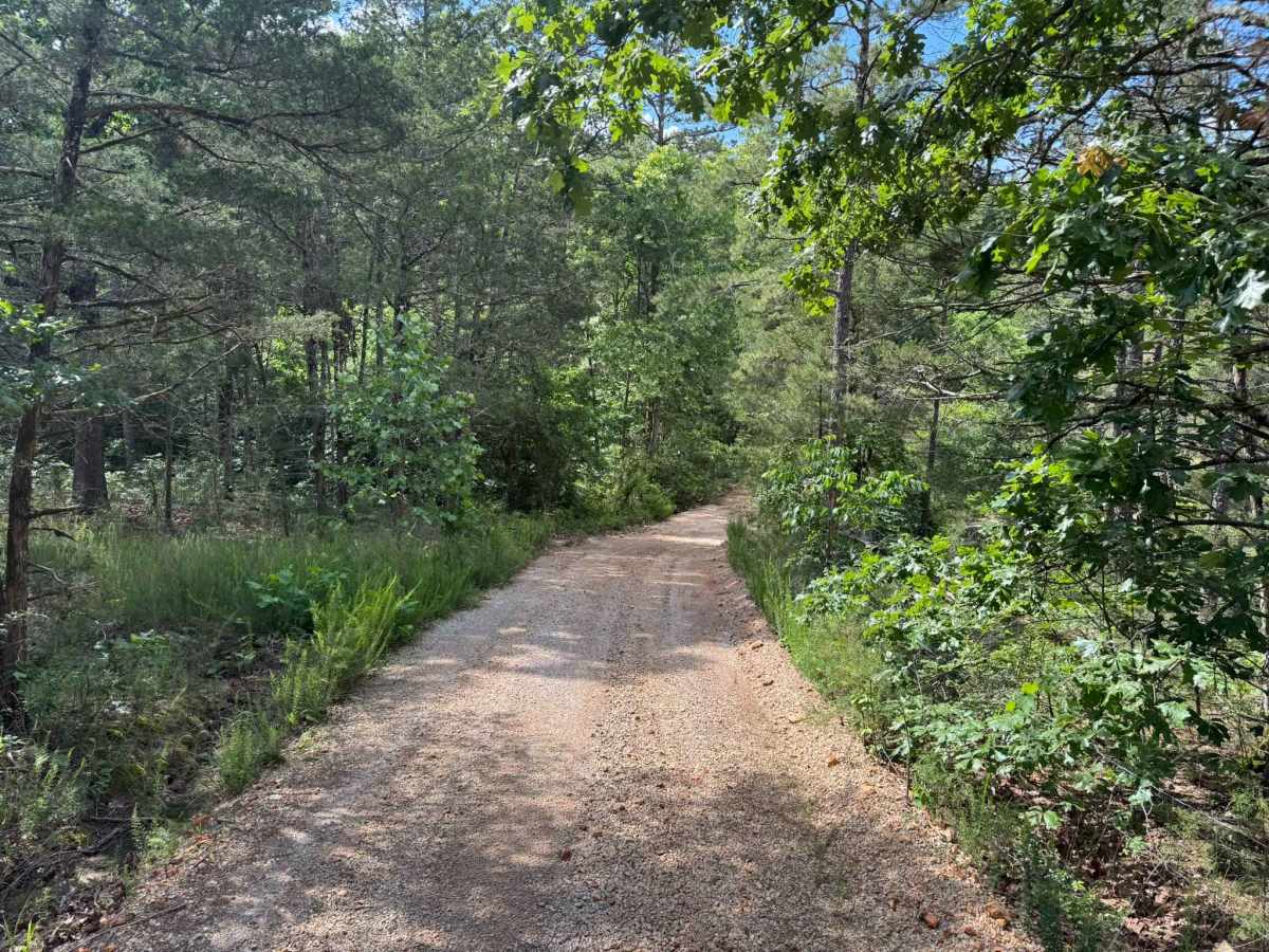
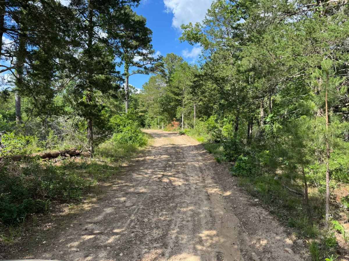
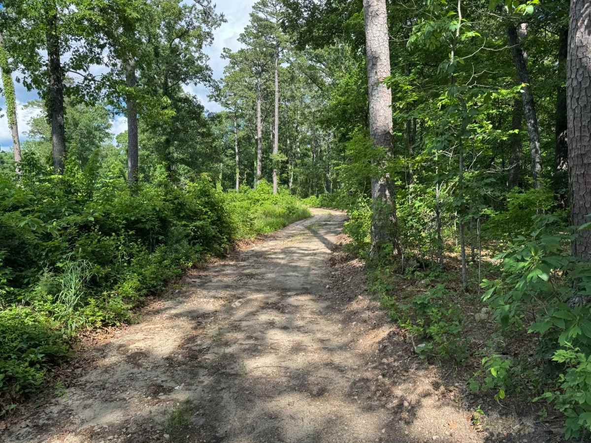
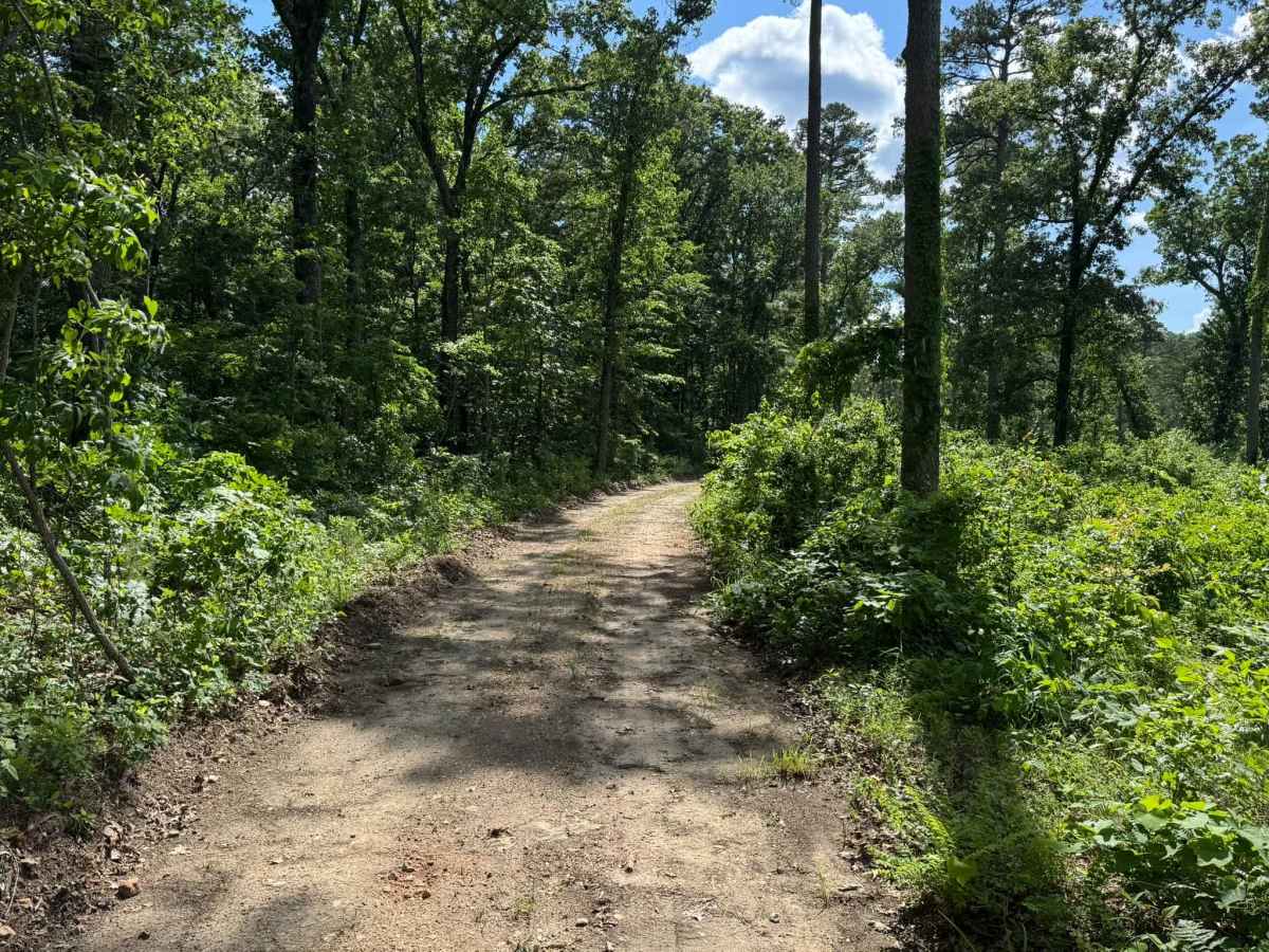
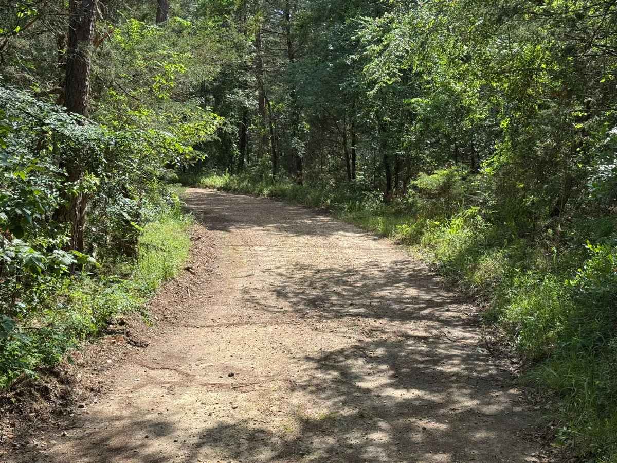
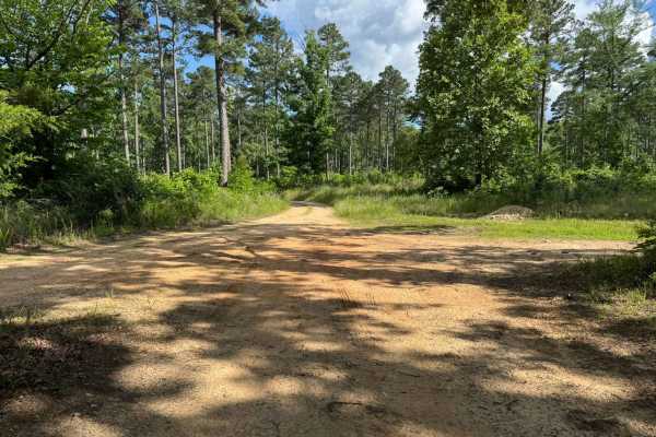
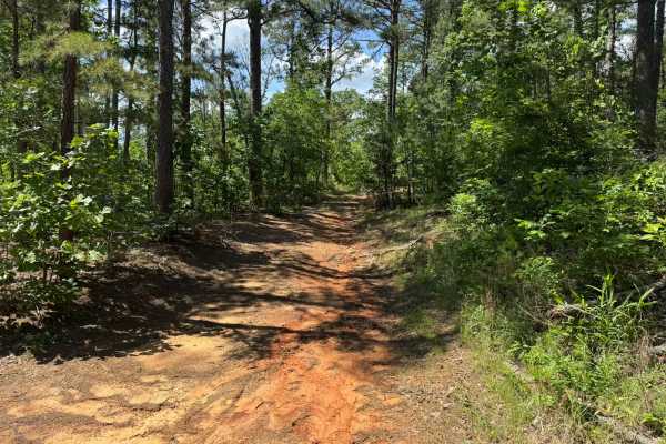
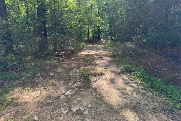
This fairly maintained forest route winds through dense pine and hardwood woods with a mostly smooth dirt and gravel surface. The route is roughly 1.5 vehicles wide depending on the width of your vehicle, with enough room for most full-size rigs to travel comfortably while still feeling enclosed by the surrounding trees and brush. The area is heavily wooded with occasional openings that allow sunlight through the canopy, creating a quiet and scenic drive. Both sides of the route are clearly posted as private property, so staying on the designated route and respecting nearby landowners is important. The route eventually comes to an end at a closed gate, so there is no through access beyond that point.
Difficulty
The route is mostly smooth and fairly maintained with gradual curves. Its narrower width, occasional loose gravel, and the potential for oncoming traffic in tighter sections can make passing more difficult for larger vehicles.
History
The roads throughout this region were originally established for logging, mining, homestead access, and fire management long before recreational off-roading became popular. Portions of the surrounding Buffalo National River area contain deep ties to Ozark pioneer history, including old settlements, abandoned homesites, family cemeteries, and former mining operations dating back to the late 1800s and early 1900s. The nearby Rush Historic District was once one of the largest zinc mining communities in Arkansas during the early 20th century. Many of the ridge roads and hollows drivers travel today follow paths historically used by miners, loggers, ranchers, and local residents navigating the rugged Ozark terrain long before modern highways existed.