Trail Overview
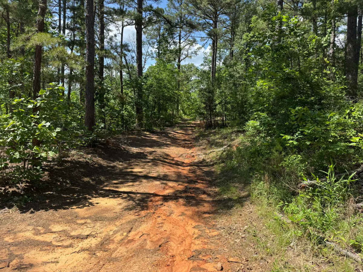
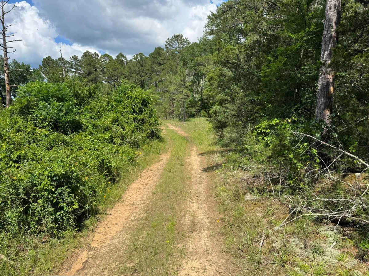
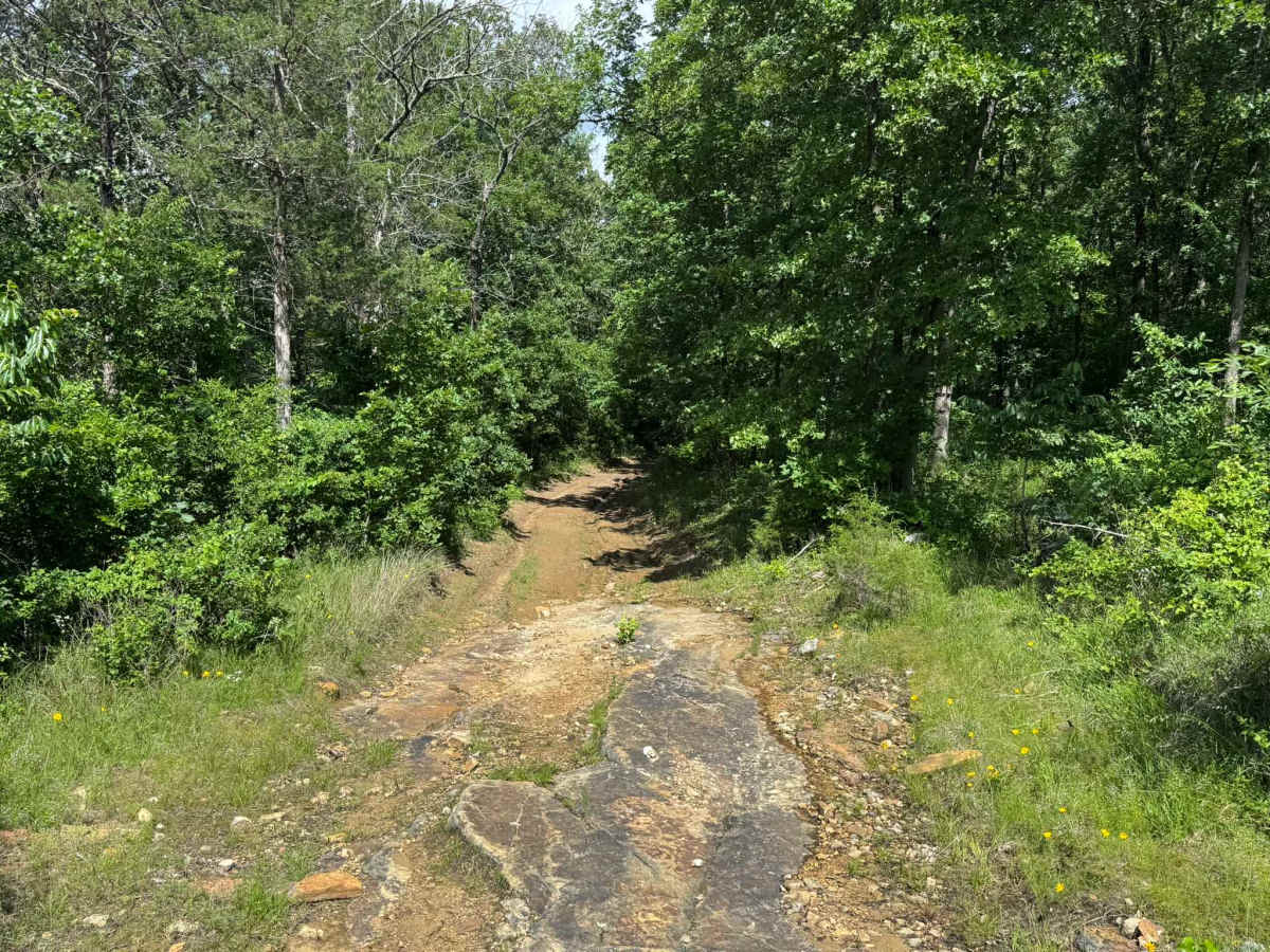
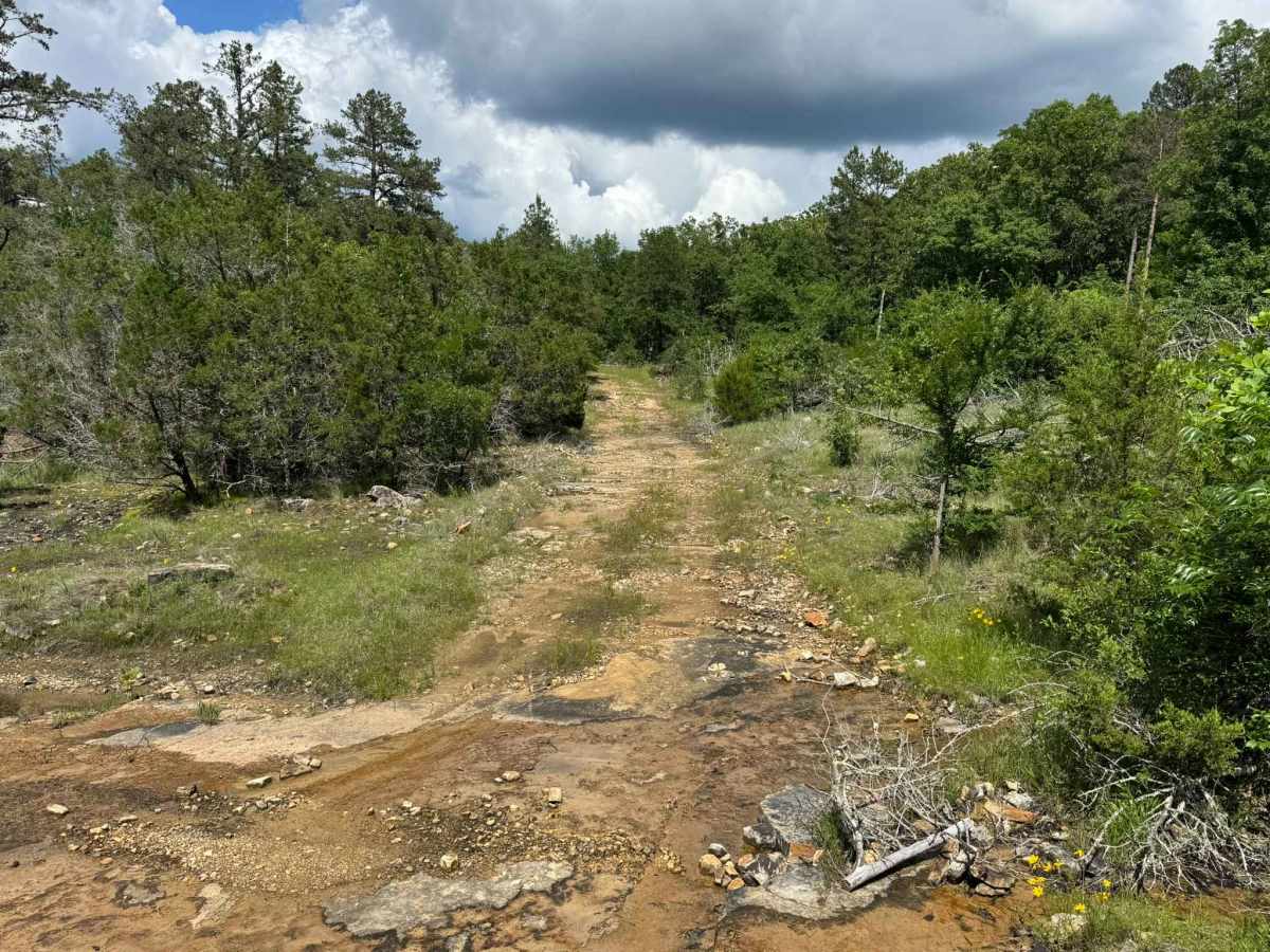
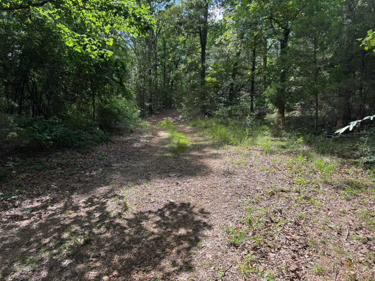
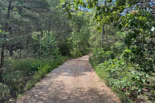
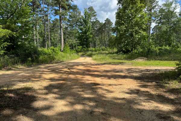
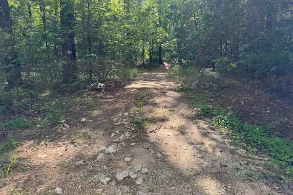
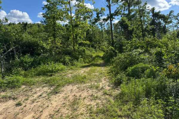
This route winds through dense forest sections mixed with more open areas of brush and scattered pine trees. The route is heavily overgrown in multiple spots, with vegetation pushing into the path enough that pinstriping and paint scratches are very likely, especially for wider vehicles. Fallen trees are common throughout the area and are often surrounded by tall grass and brush that can carry a heavy amount of ticks, so caution is recommended when getting out of your vehicle. Portions of the route transition from dirt and loose rock into exposed rock slab sections where water actively runs across the surface.
Difficulty
This route features heavy overgrowth, tight vegetation, fallen trees, and exposed rock slab sections with water running across them. Pinstriping and scratches in your vehicles paint is highly likely.
History
The roads throughout this region were originally established for logging, mining, homestead access, and fire management long before recreational off-roading became popular. Portions of the surrounding Buffalo National River area contain deep ties to Ozark pioneer history, including old settlements, abandoned homesites, family cemeteries, and former mining operations dating back to the late 1800s and early 1900s. The nearby Rush Historic District was once one of the largest zinc mining communities in Arkansas during the early 20th century. Many of the ridge roads and hollows drivers travel today follow paths historically used by miners, loggers, ranchers, and local residents navigating the rugged Ozark terrain long before modern highways existed.