Trail Overview
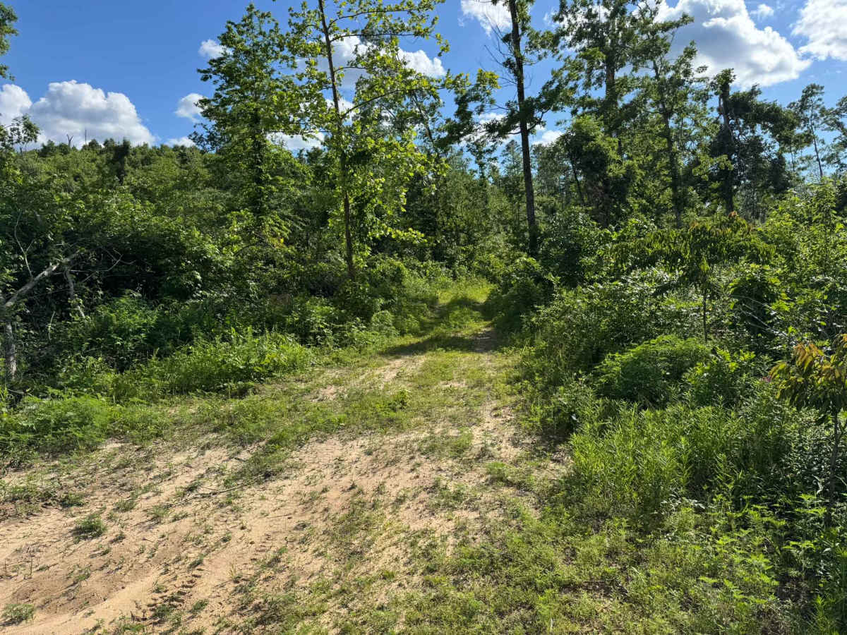
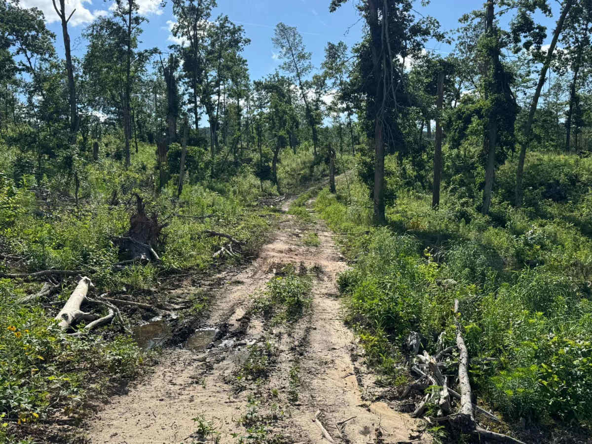
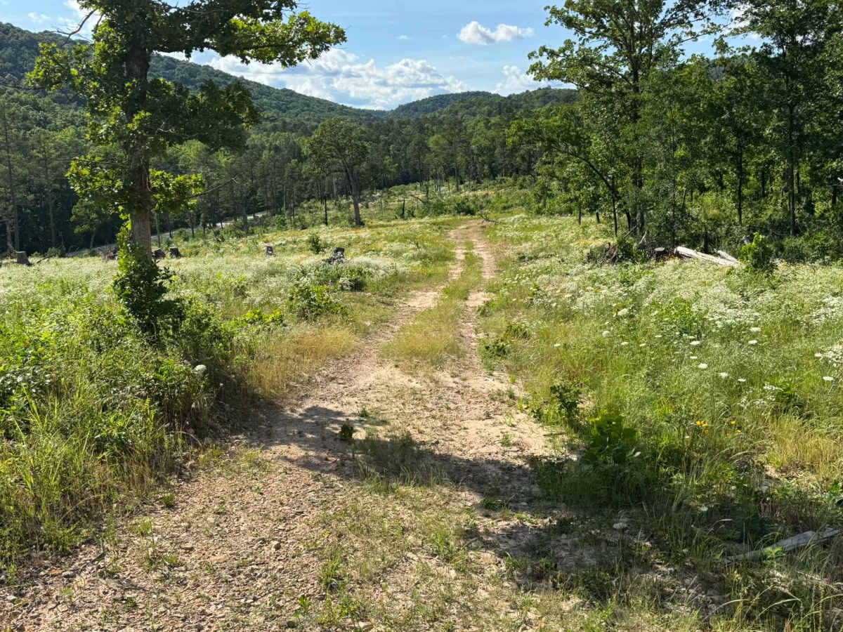
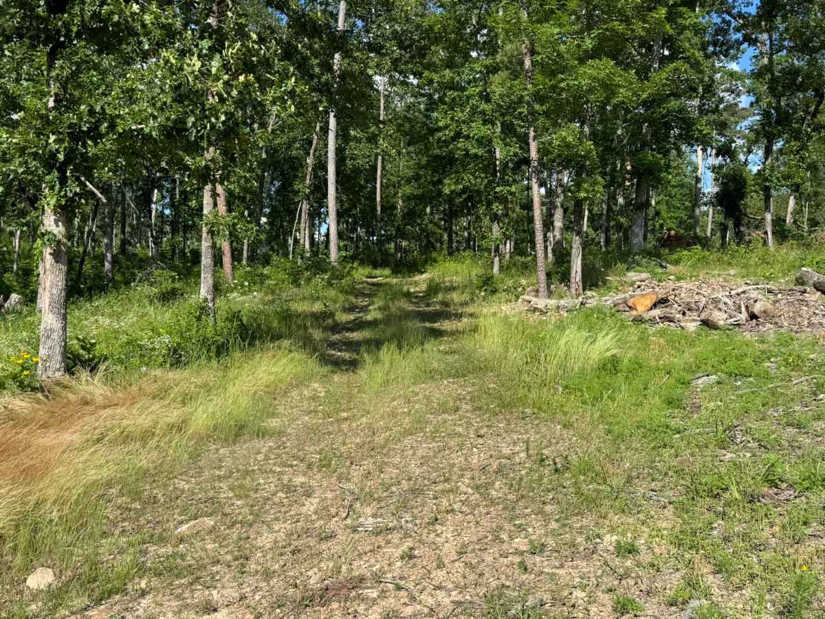
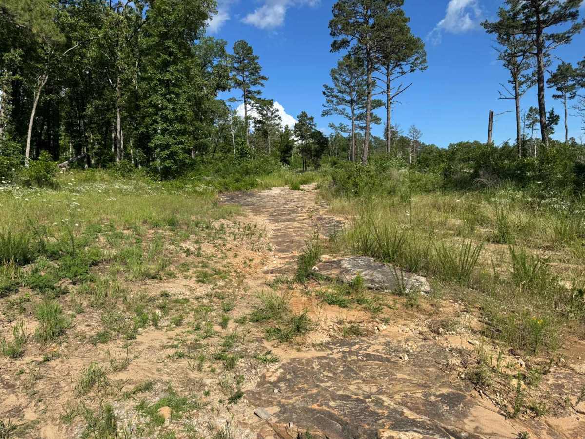
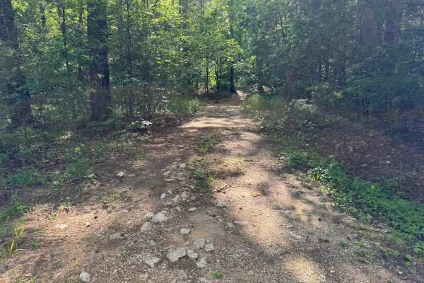
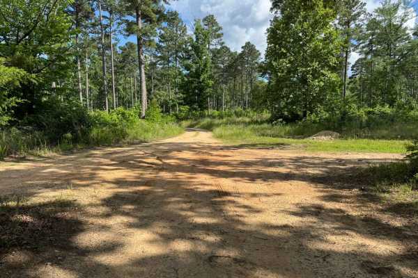
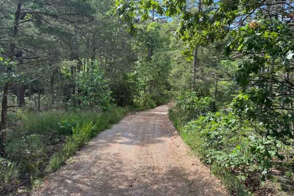
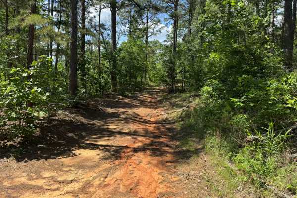
This shorter route travels through an area that still shows signs of heavy storm damage, with large sections of downed timber, broken tree lines, and scattered debris that appear to have been caused by a past tornado. Portions of the route open into wide clearings filled with tall grass, wildflowers, exposed rock, and sandy soil, while other sections cut back into shaded forest corridors surrounded by thick vegetation. The route itself is not especially tight compared to others in the area, making it more manageable for full-size vehicles. However, occasional downed trees and debris may still block portions of the path depending on recent cleanup efforts. This route runs along the outskirts of an active shooting range, so it is important to remain on the designated route at all times. While relatively short, it serves as a useful connector to several other nearby routes and direct Highway 5 access.
History
The roads throughout this region were originally established for logging, mining, homestead access, and fire management long before recreational off-roading became popular. Portions of the surrounding Buffalo National River area contain deep ties to Ozark pioneer history, including old settlements, abandoned homesites, family cemeteries, and former mining operations dating back to the late 1800s and early 1900s. The nearby Rush Historic District was once one of the largest zinc mining communities in Arkansas during the early 20th century. Many of the ridge roads and hollows drivers travel today follow paths historically used by miners, loggers, ranchers, and local residents navigating the rugged Ozark terrain long before modern highways existed.