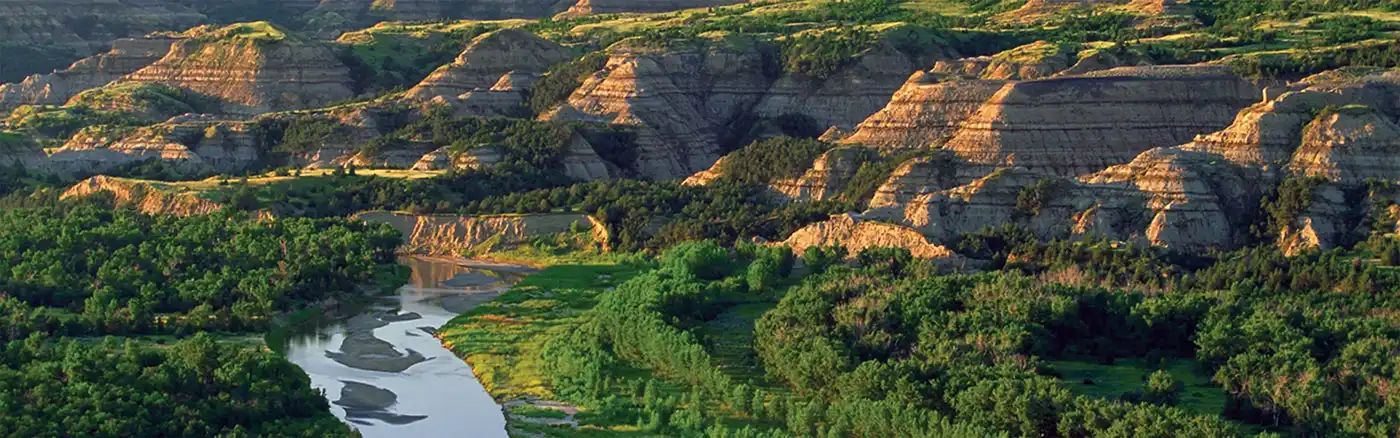
Beginner Off-Road Trails
Near Brooks, Minnesota
Explore All Beginner Trails Near Brooks, Minnesota
Beginner Off-Road Trails Near Brooks, Minnesota
Discover the best beginner-friendly off-road trails near you. These easier, lower-rated trails are a great place to start — browse trail maps, check difficulty ratings, and find your next adventure.
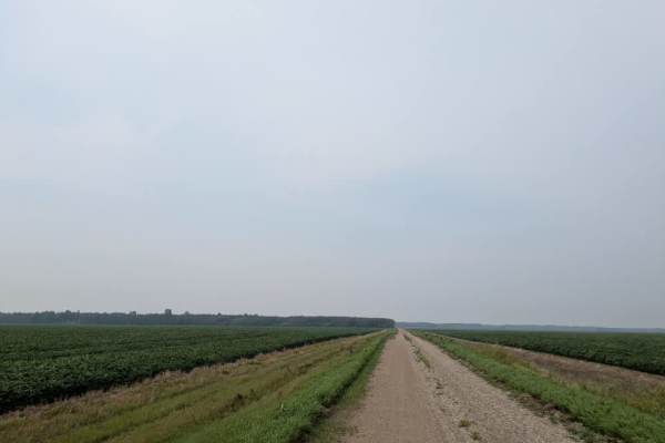
330 Avenue NE
This trail begins at Highway 219 Northeast, starting on a paved road before transitioning to a smooth gravel surface. While generally easy to travel, drivers should use caution in slippery sections, particularly after rain. The route runs along an elevated stretch through open fields before entering...
Learn more about 330 Avenue NE
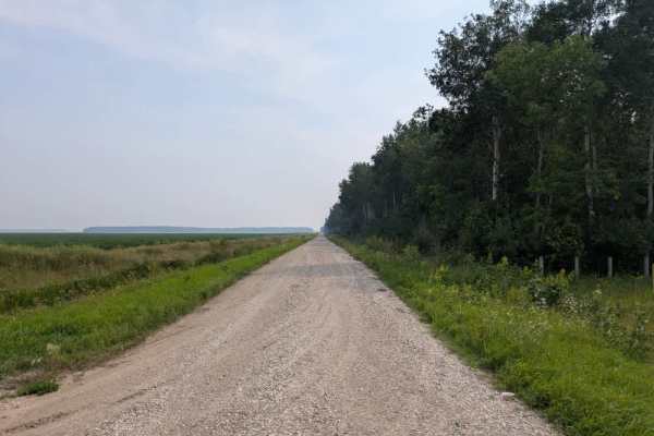
County Road 44
This long, straight trail is well-maintained and wide enough for two vehicles for most of its length. It passes through a mix of forest and open fields, with stretches of woodland broken up by views of rural properties. Along the way, it passes the Wildwood Cemetery and runs near several residences ...
Learn more about County Road 44
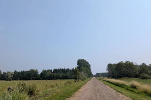
Thorhult Road NW
This trail is a well-maintained gravel road that runs dead straight and is two vehicles wide for its length. Drivers should be cautious of slippery sections and keep an eye out for local traffic, which may appear without much warning. The route passes through areas of forest and farmland, including ...
Learn more about Thorhult Road NW
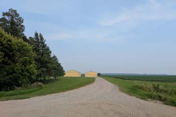
360th Avenue NW
This is a long, single-vehicle and two-vehicle wide trail that passes through agricultural areas, with stretches running alongside wheat and soybean fields. It also borders a wildlife management area that includes a clearing, which could serve as a small parking area and possibly a spot for camping....
Learn more about 360th Avenue NW
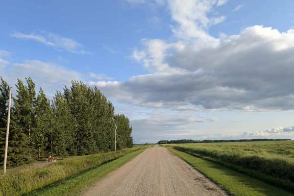
Dylan Road NW
This long and scenic road is part of the Fourtown Grygla Trail and features a well-maintained, smooth gravel surface. The width varies, with some sections accommodating two vehicles and others narrowing to single-vehicle passage. The route passes by working farms, scenic farmhouses, and stretches of...
Learn more about Dylan Road NW
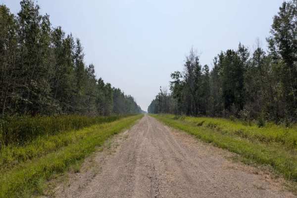
Loberg Road
This trail begins as a well-maintained gravel route that is only wide enough for a single vehicle. It runs between a wildlife management area and open fields, with private property bordering sections of the WMA and marked with no trespassing signs. After crossing another gravel road, the route narro...
Learn more about Loberg Road
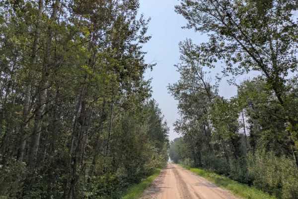
Jelle Road
Jelle Road is a well-maintained gravel route that runs dead straight between Beltrami Island State Forest, Saw-Whet Wildlife Management Area, Fireweed Wildlife Management Area, Gun-Dog Wildlife Management Area, and Wolf Trail Wildlife Management Area, with farmland interspersed along the way. Driver...
Learn more about Jelle Road
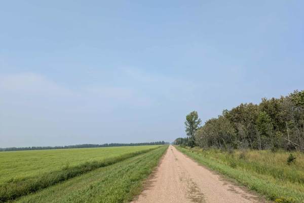
Van Pelt Road NW
This trail is a well-maintained gravel road that runs dead straight and is wide enough for one vehicle for most of its length. The surface can be bumpy in places, and drivers should take care on loose sections and remain alert for local traffic. The route passes through a mix of forest and farmland,...
Learn more about Van Pelt Road NW
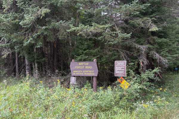
Waptus Forest Road
Waptus Forest Road is an easy to navigate Forestry Road near Itasca State Park. The Trail is mostly wide open with some narrow sections with low overhead clearance. Wildlife and scenery are abundant, making it a perfect fall color trail. This trail connects to many others in the area. Closed Decembe...
Learn more about Waptus Forest Road
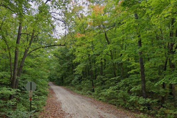
T-251
Easy, scenic drive through the woods. Trail runs past entrance to Little Elbow Lake Campground & Park. Trail connects Tulaby Lake to the snowmobile trail network in the Naytahwaush area. Beautiful leaves in the fall. Dirt & gravel can at times give way to rocks or loose sand on the trail.
Learn more about T-251
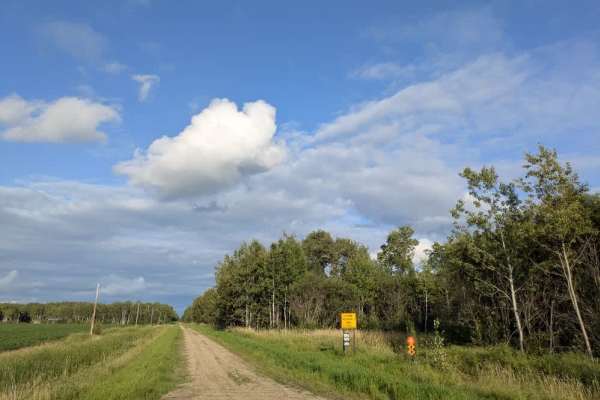
Wildlife Road NW
The surface is well-maintained gravel, though drivers should watch for slippery patches, deer crossing the road, and local traffic. The route passes a farmhouse and stretches of open fields while running parallel to a Wildlife Management Area. Along the way, a rustic two-track trail branches off, ma...
Learn more about Wildlife Road NW
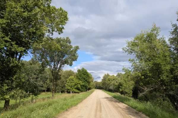
Moose River Road NW
This trail is a paved road and is one of the most scenic routes in the Beltrami Island National Forest. It is wide enough for two vehicles and has a well-maintained gravel surface. The drive passes through picturesque farmland, including a honey farm, and features views of grazing cattle, rolling gr...
Learn more about Moose River Road NW
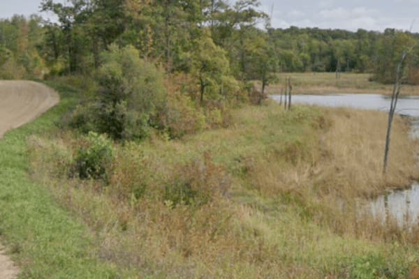
New Horizons - Gravel
Dirt road that is commonly used by locals to travel around the north side of White Earth Lake rather than travel extra miles on the tar. You may encounter cars, pickups, and off road vehicles, along with the occasional delivery truck or construction machinery. Road winds through the woods and around...
Learn more about New Horizons - Gravel
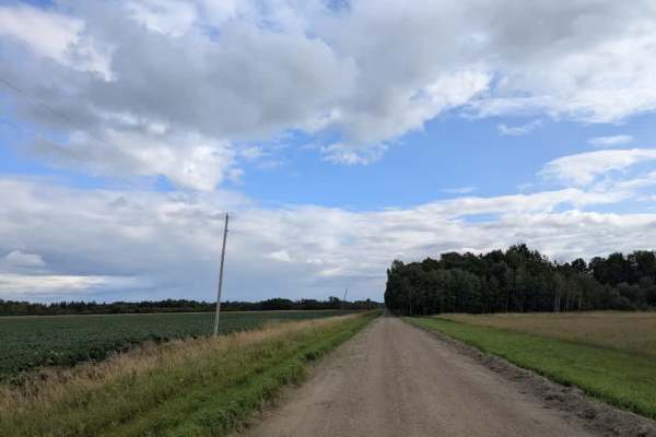
Powder Horn NW
This trail is a well-maintained surface of fine gravel. It can become slippery when wet, so caution is advised. The route is fairly long and alternates between sections wide enough for two vehicles and narrower stretches suited for single-vehicle passage. It runs between forested areas and open fiel...
Learn more about Powder Horn NW
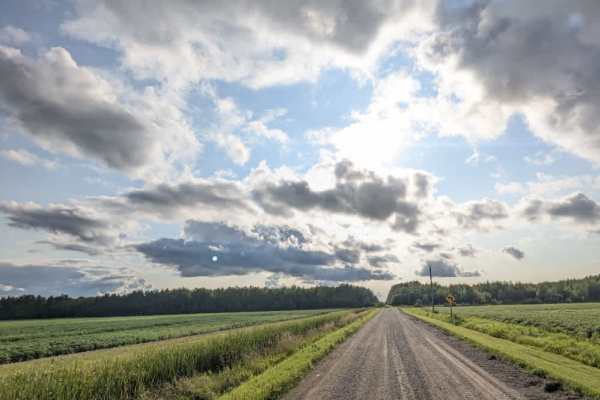
Wapiti Road NW
This trail is wide enough for two vehicles and has a well-maintained, smooth surface. It runs in an almost perfectly straight line, bordered by wetlands on one side and forest on the other. Along the route, it passes the boundary of the Red Lake Indian Reservation, where a permit is required for ent...
Learn more about Wapiti Road NW
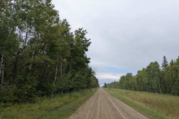
Randen Ridge
This fun trail is well-maintained and features a red sandy gravel surface that can become muddy in wet conditions and extends for a considerable distance. It is mostly level and flat, making it a straightforward drive. Along the way, it passes an old town hall, which is great for a quick stop. The r...
Learn more about Randen Ridge
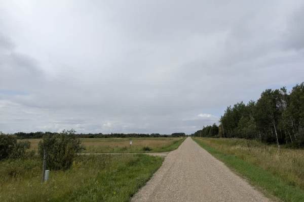
380 Avenue NE
This trail leads to the Thief Lake Wildlife Management Area, which offers several hiking trails. The surface is well-maintained gravel, with sections that alternate between single-vehicle and two-vehicle widths. Drivers should be aware of potential slippery areas, watch for deer crossing the road, a...
Learn more about 380 Avenue NE
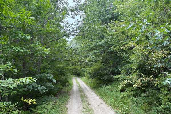
Heart Lake Trail
Heart Lake Trail is a narrow forestry road near Itasca State Park. The trail is very narrow in spots with overgrown vegetation. The fall colors and Wildlife along this trail are definitely worth the travel. In the Spring thaw and heavy rain periods, some of the trail can have some overflow and ruts....
Learn more about Heart Lake Trail
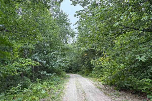
Otterkill Trail
The Otterkill trail is a gravel forestry trail with some tight vegetation in spots. This trail is easy to navigate but may get overgrown depending on the year. It is located near Itasca State Park, making it a beautiful Fall color tour trail to take. Closed December 1 to March 31.
Learn more about Otterkill Trail
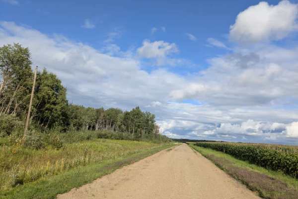
Phantom Road NW
The surface is well-maintained gravel, with sections where the gravel is fine and others where it is thicker. The route passes between the Wapiti Wildlife Management Area on one side and farmland on the other, with fields of corn and soybeans lining parts of the drive. The scenery is a mix of agricu...
Learn more about Phantom Road NW
Beginner ATV trails near Brooks, Minnesota
Explore ATV-friendly trails near you. These trails are accessible for vehicles up to 50 inches wide, perfect for ATVs and smaller off-road machines.
Dylan Road NW
This long and scenic road is part of the Fourtown Grygla Trail and features a well-maintained, smooth gravel surface. The width varies, with some sections accommodating two vehicles and others narrowing to single-vehicle passage. The route passes by working farms, scenic farmhouses, and stretches of...
Learn more about Dylan Road NW
Waptus Forest Road
Waptus Forest Road is an easy to navigate Forestry Road near Itasca State Park. The Trail is mostly wide open with some narrow sections with low overhead clearance. Wildlife and scenery are abundant, making it a perfect fall color trail. This trail connects to many others in the area. Closed Decembe...
Learn more about Waptus Forest Road
T-251
Easy, scenic drive through the woods. Trail runs past entrance to Little Elbow Lake Campground & Park. Trail connects Tulaby Lake to the snowmobile trail network in the Naytahwaush area. Beautiful leaves in the fall. Dirt & gravel can at times give way to rocks or loose sand on the trail.
Learn more about T-251
Wildlife Road NW
The surface is well-maintained gravel, though drivers should watch for slippery patches, deer crossing the road, and local traffic. The route passes a farmhouse and stretches of open fields while running parallel to a Wildlife Management Area. Along the way, a rustic two-track trail branches off, ma...
Learn more about Wildlife Road NW
Beginner UTV/side-by-side trails near Brooks, Minnesota
Find UTV and side-by-side trails near you. These trails accommodate vehicles up to 60 inches wide, ideal for UTVs, side-by-sides, and wider off-road rigs.
Dylan Road NW
This long and scenic road is part of the Fourtown Grygla Trail and features a well-maintained, smooth gravel surface. The width varies, with some sections accommodating two vehicles and others narrowing to single-vehicle passage. The route passes by working farms, scenic farmhouses, and stretches of...
Learn more about Dylan Road NW
Waptus Forest Road
Waptus Forest Road is an easy to navigate Forestry Road near Itasca State Park. The Trail is mostly wide open with some narrow sections with low overhead clearance. Wildlife and scenery are abundant, making it a perfect fall color trail. This trail connects to many others in the area. Closed Decembe...
Learn more about Waptus Forest Road
T-251
Easy, scenic drive through the woods. Trail runs past entrance to Little Elbow Lake Campground & Park. Trail connects Tulaby Lake to the snowmobile trail network in the Naytahwaush area. Beautiful leaves in the fall. Dirt & gravel can at times give way to rocks or loose sand on the trail.
Learn more about T-251
Wildlife Road NW
The surface is well-maintained gravel, though drivers should watch for slippery patches, deer crossing the road, and local traffic. The route passes a farmhouse and stretches of open fields while running parallel to a Wildlife Management Area. Along the way, a rustic two-track trail branches off, ma...
Learn more about Wildlife Road NW
The onX Offroad Difference
onX Offroad combines trail photos, descriptions, difficulty ratings, width restrictions, seasonality, and more in a user-friendly interface. Available on all devices, with offline access and full compatibility with CarPlay and Android Auto. Discover what you're missing today!
Open Trail Map