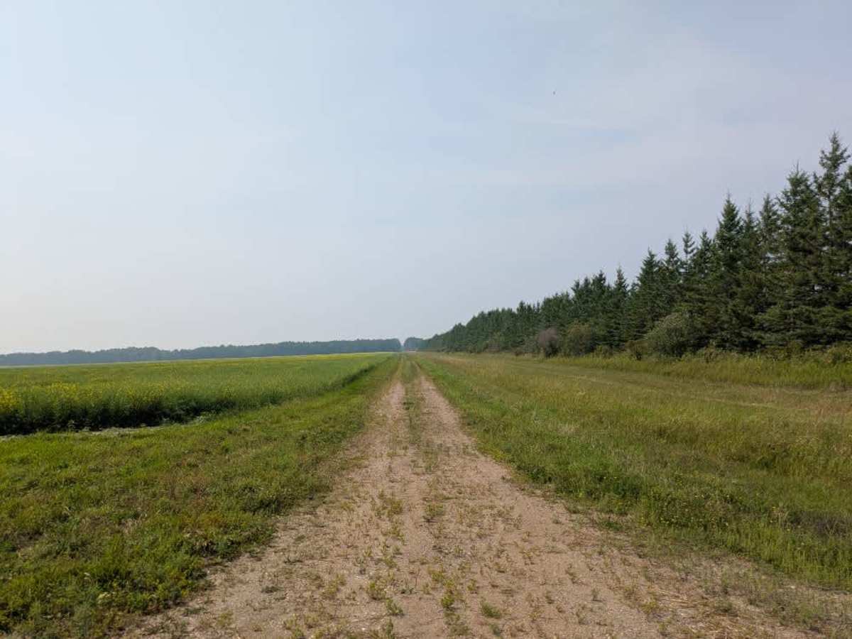
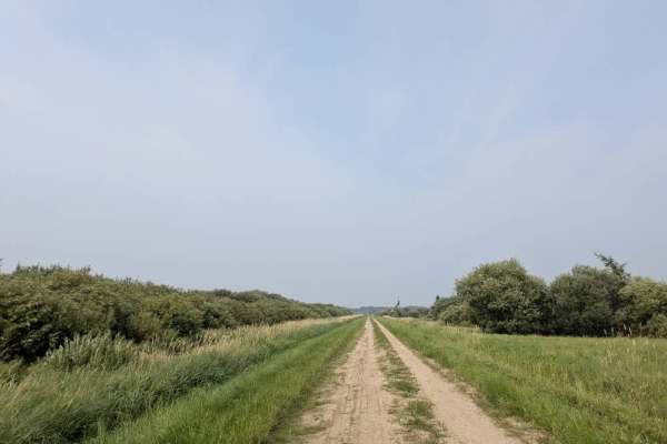
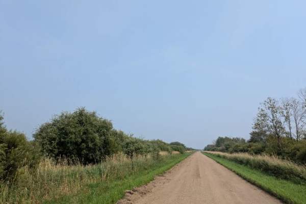
Trail Overview
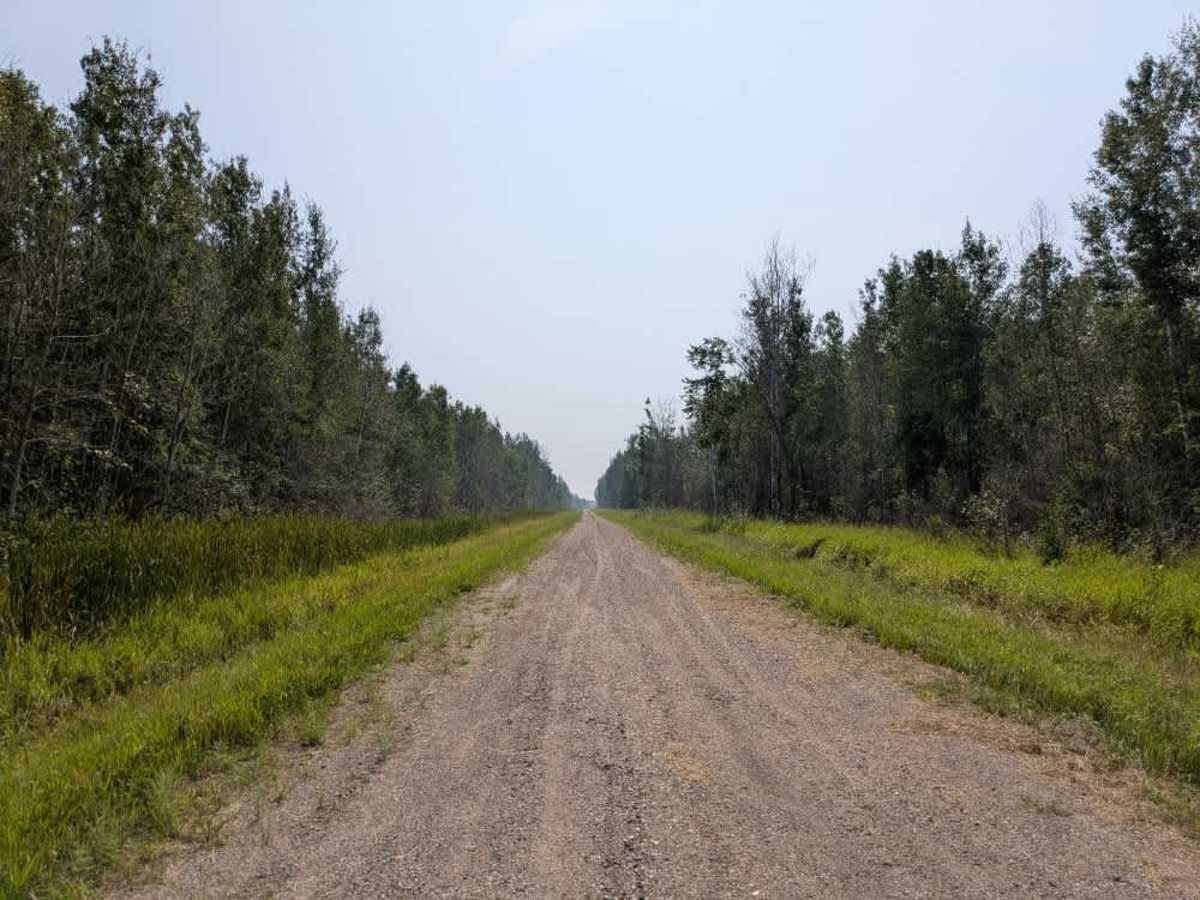
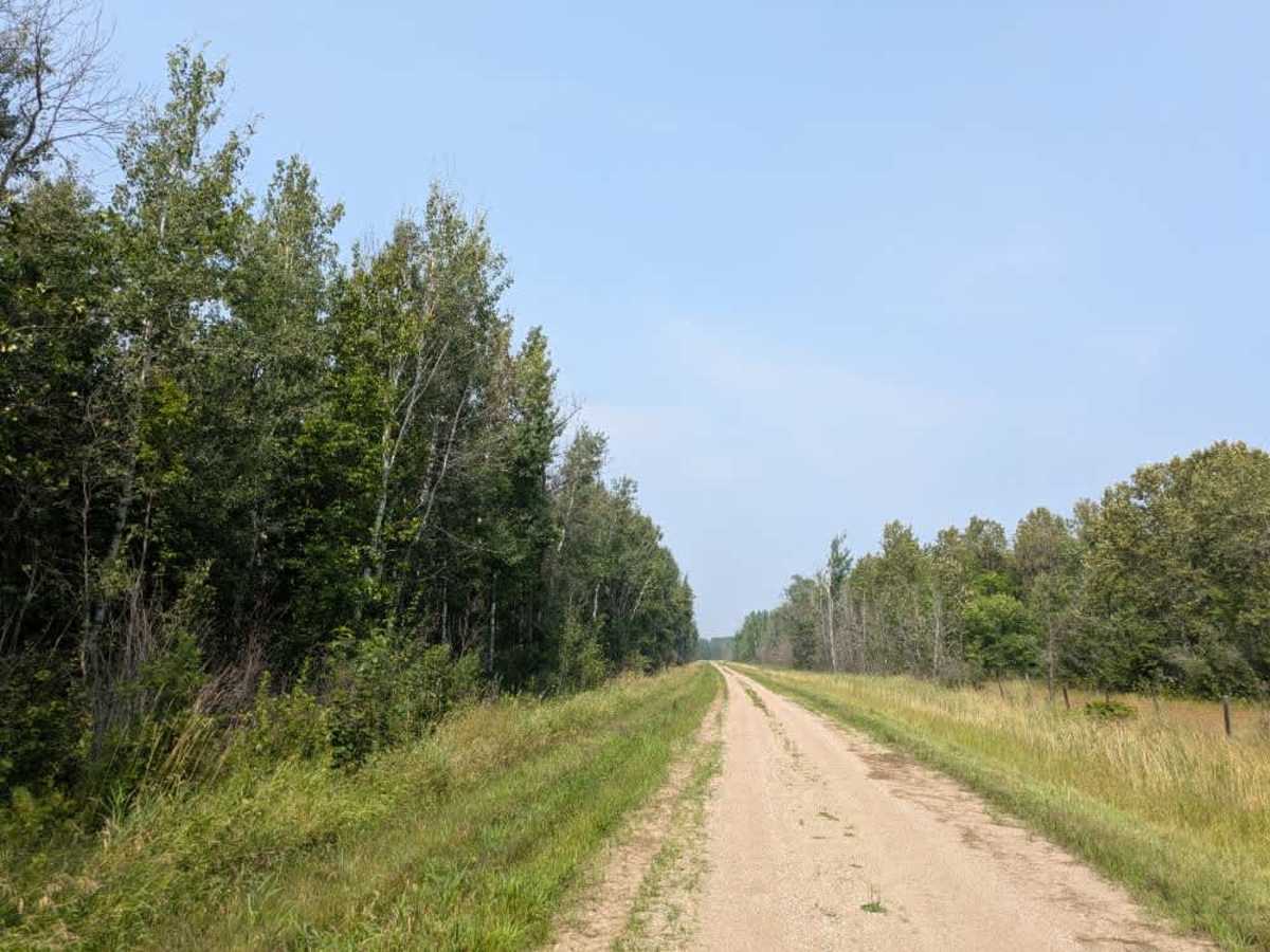
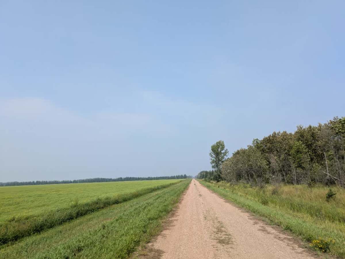
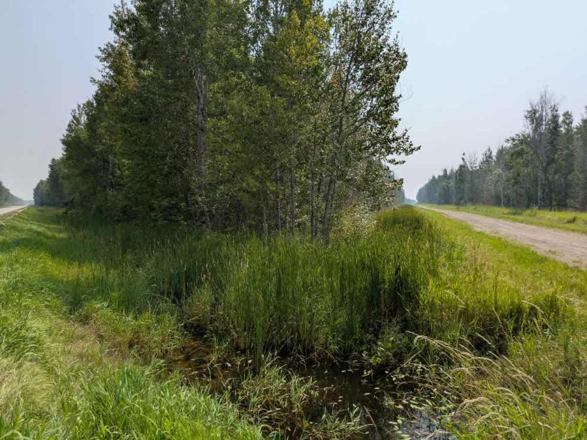
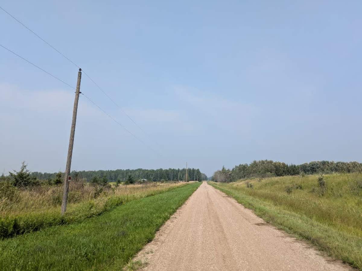
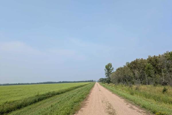
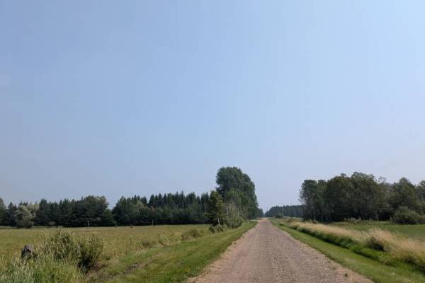
This trail begins as a well-maintained gravel route that is only wide enough for a single vehicle. It runs between a wildlife management area and open fields, with private property bordering sections of the WMA and marked with no trespassing signs. After crossing another gravel road, the route narrows into a two-track that winds through the wildlife management area. This section is bumpy and undulating, passing through a mix of forested terrain and open clearings, making for a scenic drive. According to maps, the route should continue beyond this point, but in reality, it ends at private property with a mowed lawn where the trail alignment would have been. There are no dispersed or formal campsites along the route, and it offers no amenities such as trash disposal or a water supply. Cell service may be limited.
Difficulty
This forest trail is well-maintained and used daily by residents and adventurers. The route is wide and clear of debris, with established tread and minimal overgrowth, making it ideal for a smooth and scenic drive.
History
The Beltrami Island State Forest in northern Minnesota is a vast, remote forest offering hiking, hunting, OHV trails, and dispersed camping amid dense woods, wetlands, and lakes.