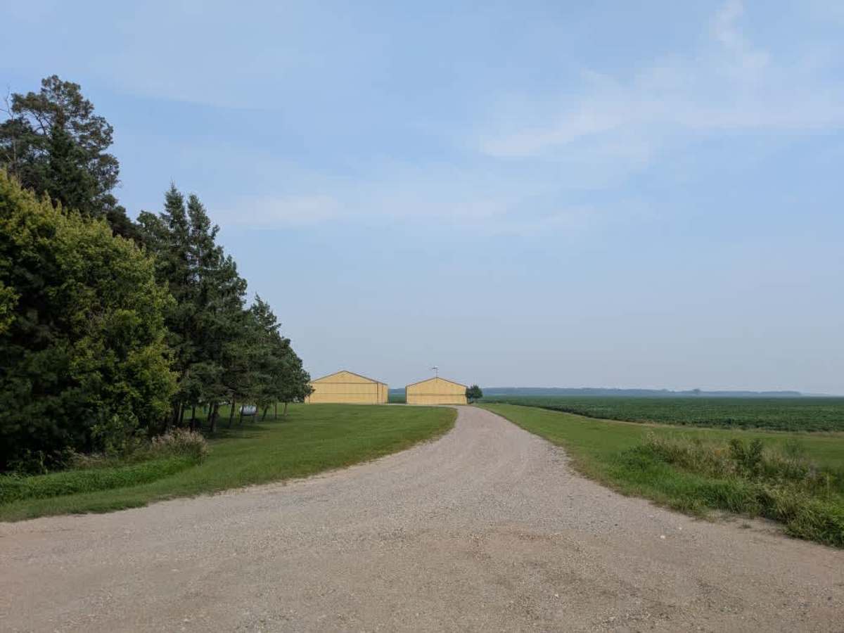
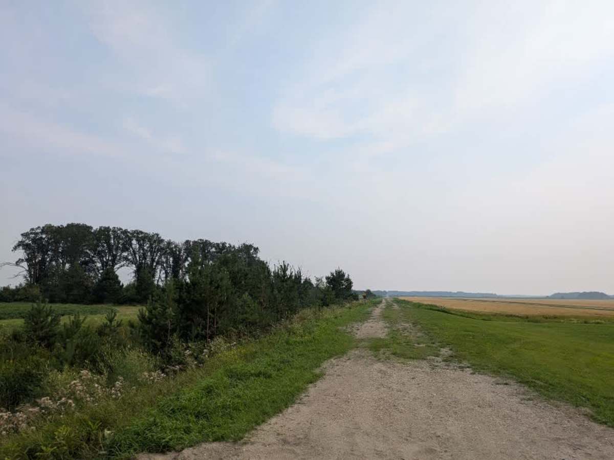
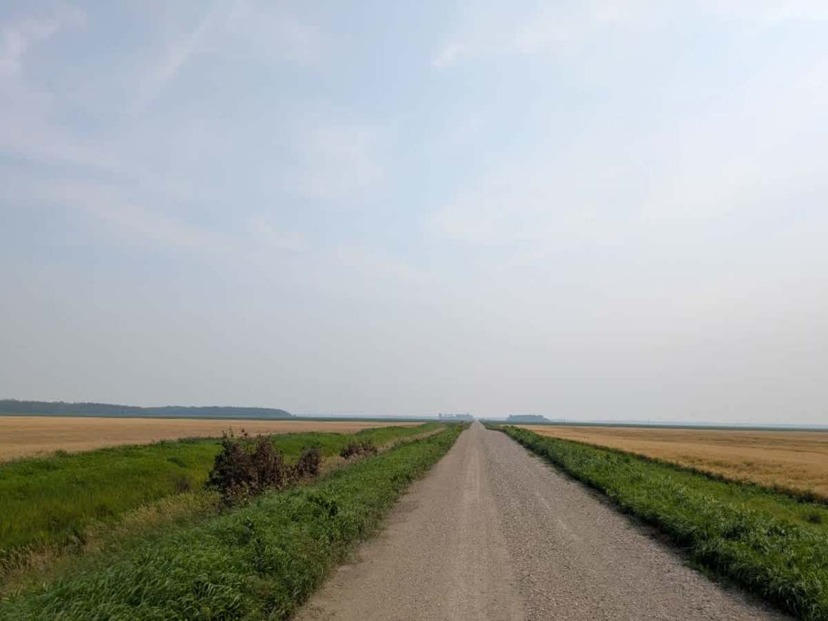
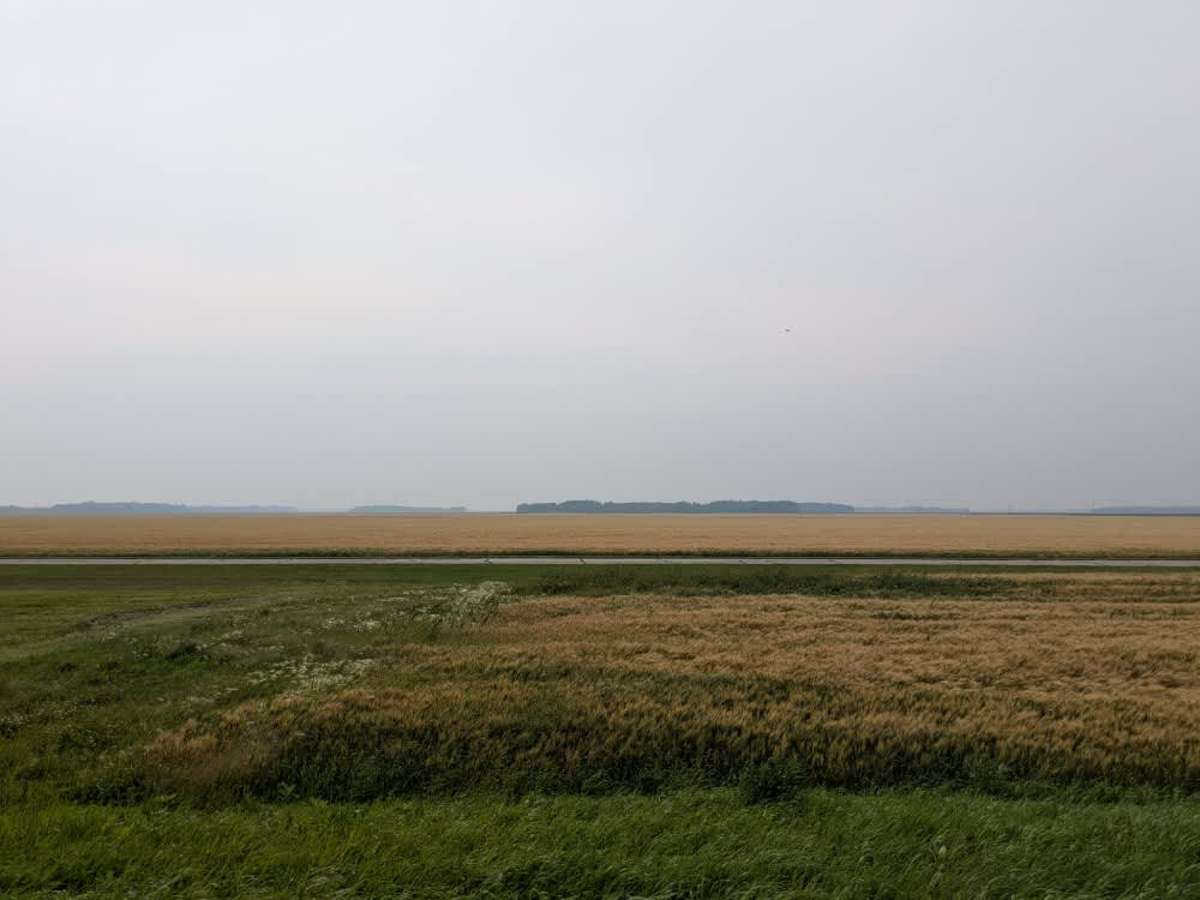
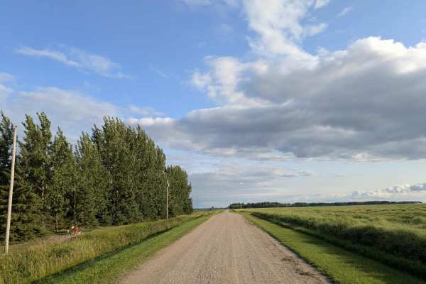
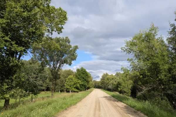
Trail Overview
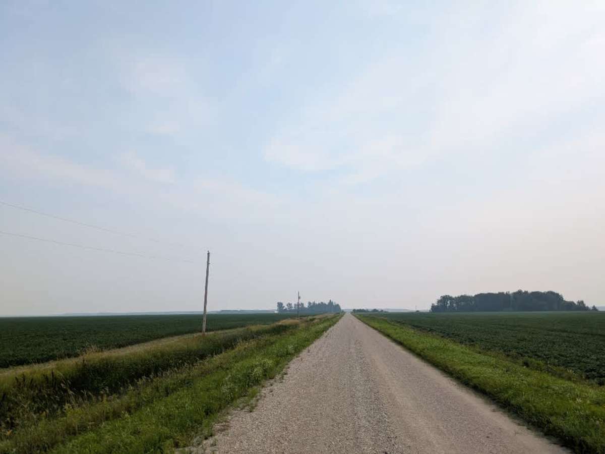
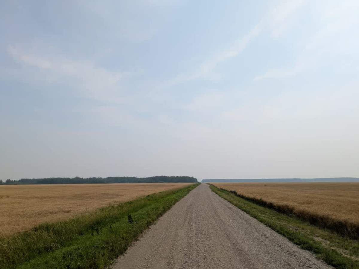
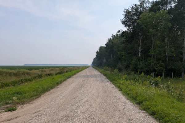
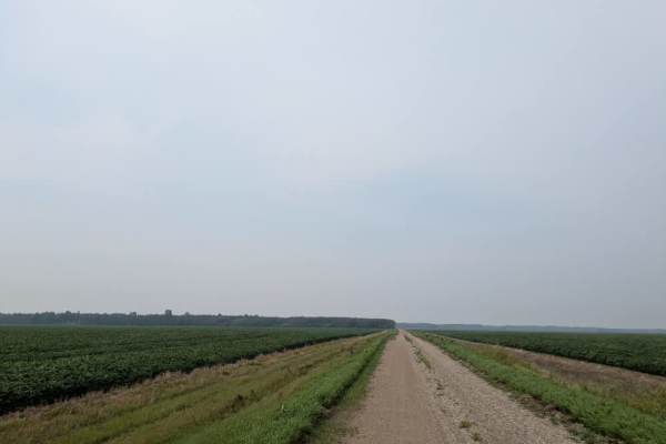
This is a long, single-vehicle and two-vehicle wide trail that passes through agricultural areas, with stretches running alongside wheat and soybean fields. It also borders a wildlife management area that includes a clearing, which could serve as a small parking area and possibly a spot for camping. This trail eventually crosses a paved road before continuing toward an agricultural airfield. At the airfield, the route enters private property and soon disappears entirely. Drivers should be cautious of slippery sections, as well as local traffic, particularly near residences and private land along the way. While the surrounding farmland and open views give the route a rural atmosphere, access is limited at the far end. The trail has no formal campsites and offers no amenities such as trash disposal or water supply. Cell service may be unreliable in certain sections, so visitors should plan ahead before traveling this route.
Difficulty
This forest trail is well-maintained and used daily by residents and adventurers. The route is wide and clear of debris, with established tread and minimal overgrowth, making it ideal for a smooth and scenic drive.
History
The Valley Wildlife Management Area (WMA) is an expansive area and is renowned for its diverse habitats, including peatlands, forests, and wetlands, providing essential ecosystems for various wildlife species. The WMA is part of a larger network of protected lands aimed at conserving Minnesota's natural heritage.