
Beginner Off-Road Trails
Near Beulah, Wyoming
Explore All Beginner Trails Near Beulah, Wyoming
Beginner Off-Road Trails Near Beulah, Wyoming
Discover the best beginner-friendly off-road trails near you. These easier, lower-rated trails are a great place to start — browse trail maps, check difficulty ratings, and find your next adventure.
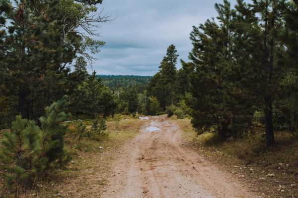
Game Farm
Game farm is a local favorite in the Spearfish Area. The area is a game preserve for the South Dakota Fish and Game Department. It can be accessed from Higgins Gultch Road, or from Tinton in the Big Hill Parking lot. Big Hill offers a staging area with room for trailers. Game Farm offers scenic view...
Learn more about Game Farm
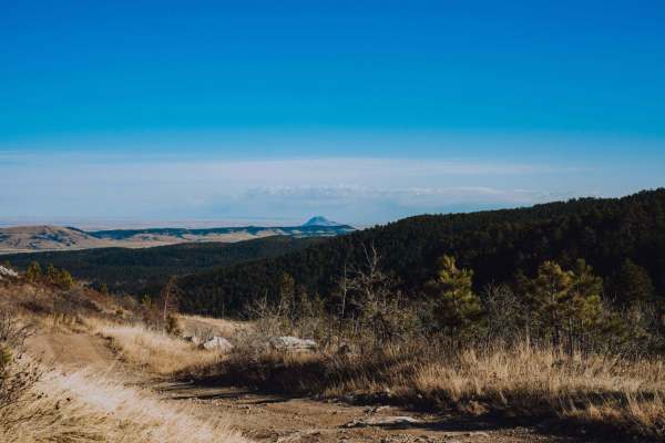
Spearfish Mountain
Spearfish Mountain is one of the three peaks that make up the mountains surrounding Spearfish. It is the only one accessible by off road vehicles. A short drive down Christensen Drive will lead you to the trail head. From here there is one main shot up to the top with a few different spurs off the m...
Learn more about Spearfish Mountain
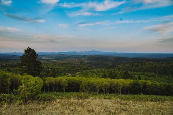
Boundary Gulch
Boundary Gulch trail is a Black Hills favorite for off-road enthusiasts of all kinds. The trail leads you to the Cement Ridge Fire lookout. Along the way, you will find ponds, scenic outlooks and the remnants of Tinton Town, an old mining town that turned into a sawmill for the area. There is privat...
Learn more about Boundary Gulch
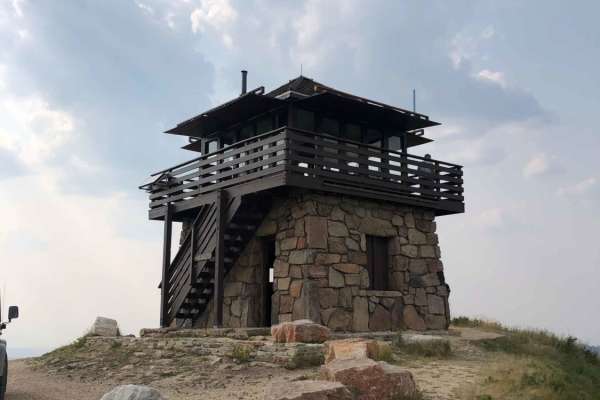
Cement Ridge Fire Lookout
Leaving Spearfish Canyon from Savoy, you'll find yourself on Roughlock Falls Road, a well-maintained gravel road that leads you up to Cement Ridge Fire Lookout, which boasts expansive views of the Black Hills Forest and surrounding area. If you decide to take the trail down to Grand Canyon Road, bew...
Learn more about Cement Ridge Fire Lookout
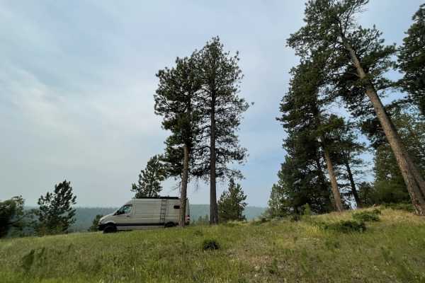
Bear Lodge
Bear Lodge is an easy well maintained road for Jeeps, SUVs, Overlanders and horse trailers. 4x4 might be needed in the spring, as there might still be snow and mud. Any vehicle, without four-wheel-drive, may enjoy this road during the dry season. This road has many access points for mountain biking,...
Learn more about Bear Lodge
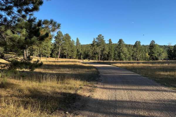
Boles Canyon
Boles Canyon is an easy route from South Rapid to Highway 85, which you can connect to Tinton Road. There is a 400-foot elevation change during this 4.9-mile route. It's a single-lane road that is navigable with any vehicle. The area is used for cattle grazing, so be on the lookout for them.
Learn more about Boles Canyon
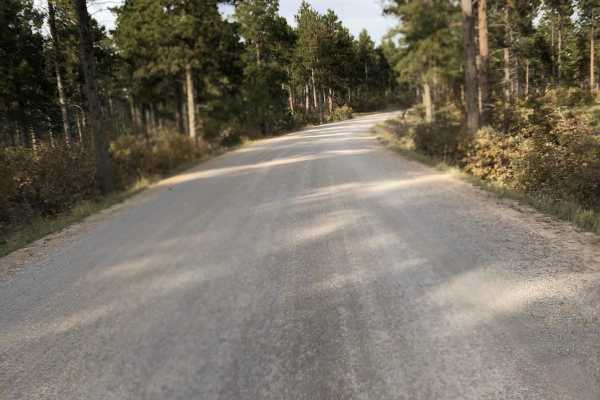
Tinton Road
Tinton Road (Forest Service Road 134) is a scenic, 25.2-mile graded gravel road connecting Spearfish, South Dakota, to the western Black Hills National Forest. Reaching 6,533 feet, this wide, flat corridor is suitable for all vehicles in dry conditions, winding through pine forests and open valleys....
Learn more about Tinton Road
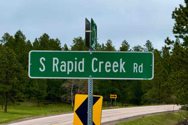
South Rapid 231.5
Don't sleep on 231.5 -- this is a full-on 12-mile run through classic northern Black Hills country, starting muddy and tight in subalpine fir and opening up as it drops toward Black Fox Campground. It runs parallel to the creek in spots, winding through some steep cuts and shaded drainages where you...
Learn more about South Rapid 231.5
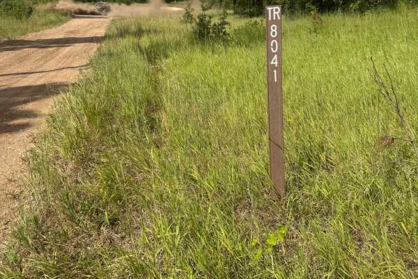
Pillar Peak - FS 8041
This trail begins just off Lost Gulch - FS 172.1 and winds uphill before traversing over to an intersection with Pillar Peak - FS 8040. It is an easy-to-traverse leg of the alternate route from Lost Gulch - FS 172.1 over to Galena. It is a combination of gravel and sand/silt roadbed. This section of...
Learn more about Pillar Peak - FS 8041
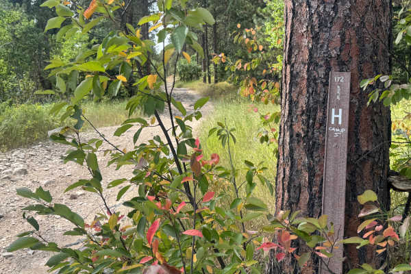
Lost Gulch Branch 1H - FS 172.1H
This road connects Lost Gulch - FS 172.1 to Pillar Peak - FS 8040. This trail is a combination of loose rock, gravel, and dirt. There are some shelf road sections with nice views down into Lost Gulch. This is a mild trail connecting to a much harder trail. This trail is a great route when combined w...
Learn more about Lost Gulch Branch 1H - FS 172.1H
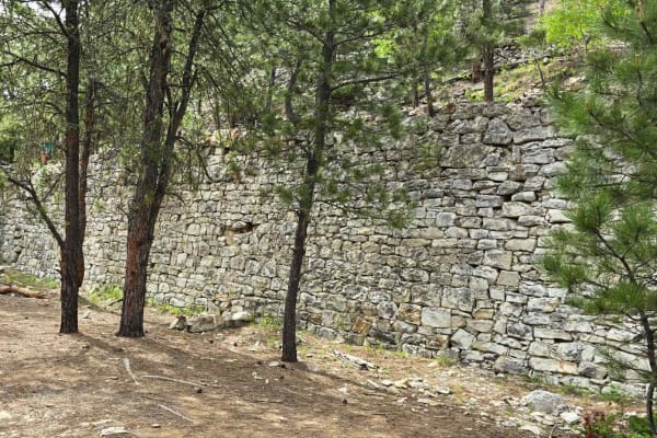
China Wall Trail
Another fantastic historical site in the Black Hills National Forest is the China Wall. The waypoint on the track shows exactly where the hike begins, and it's only about 600 yards to the wall. It's well worth the hike. The trail begins at Highway 385 on the south, and it runs up through Galena and ...
Learn more about China Wall Trail
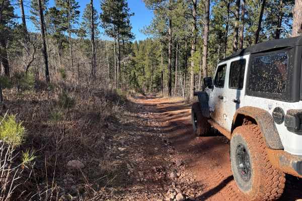
FS 567.1
This trail is a 1.6-mile connecting route between Lost Gulch (FS 172.1) and the China Wall Trail. It consists of packed gravel, loose rocks, mild climbs and descents, as well as smaller ruts and mud puddles. It meets up with Lost Gulch at (44.36499, -103.61948) and connects to the China Wall Trail a...
Learn more about FS 567.1
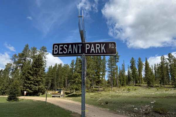
Besant Park Road - FS 206
FS 206 into Besant Park is one of those low-key gems -- narrow in spots, winding through thick timber, and then suddenly opening up into wide meadows that feel like they've been hidden for decades. This route stays mellow overall but has a few tight one-lane sections that add just enough spice. The ...
Learn more about Besant Park Road - FS 206
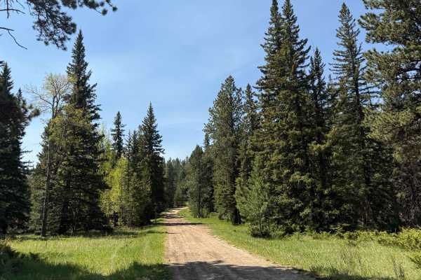
Flag Mountain - FS 189.2
This route begins near Flag Mountain’s summit—just off steep pine ridges—and follows Forest Service Road 189.2 down into the wide-open Northern Hills side of the forest. The climb starts rough: expect loose gravel, bare rock ledges, and uneven tread that’ll challenge a stock pickup from the outset. ...
Learn more about Flag Mountain - FS 189.2
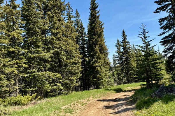
Trebor Draw - FS 631.2
Trebor Draw starts off Forest Service Road 631 and winds through the heart of Trebor Draw in the Mystic Ranger District. It’s a beautiful stretch—tight pine forest gives way to big, open plains the higher you climb. Rocky in spots with loose tread and tight turns, the trail is rough enough to keep t...
Learn more about Trebor Draw - FS 631.2
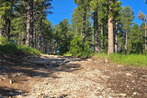
Black Hills Forest Access from Sturgis
Ride from downtown Sturgis, and within just 2 miles, you're on dirt. This is a fun hilly rocky trail that takes you into the Black Hills National Forest without having to travel busy Highway 14A. From this trail, which goes over Red Hill, you can access the Camp 5/Calamity Jane trails area or go to ...
Learn more about Black Hills Forest Access from Sturgis
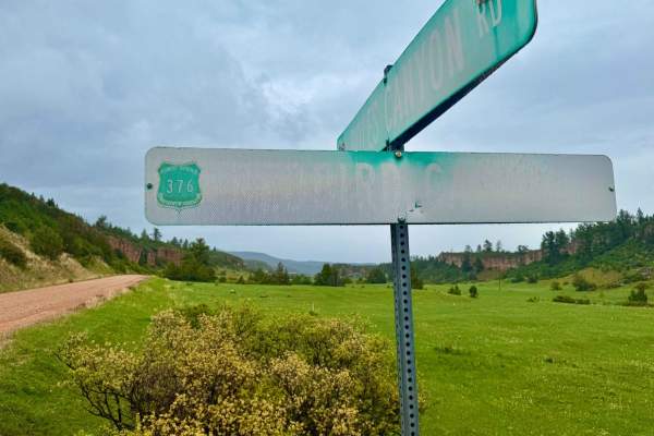
Redbird Canyon Road
Redbird Canyon Road (FS 376) is a scenic gravel route nestled within the Black Hills National Forest, offering a tranquil drive through dense pine forests and striking red rock outcrops. The road meanders through a series of homesteads before the canyon narrows, revealing a diverse mix of pine and d...
Learn more about Redbird Canyon Road
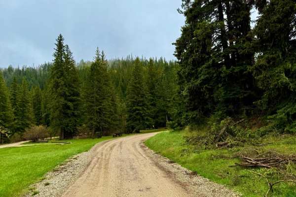
Black Fox Camp Road
Bombard Draw kicks off just west of Black Fox Campground and works steadily uphill into a narrow valley that feels tucked away from just about everything. It's a solid Forest Service road with a few washed-out sections, some embedded rock, and one or two off-camber turns that'll wake you up -- but o...
Learn more about Black Fox Camp Road
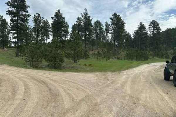
Veterans Peak Trail
This short 0.7-mile trail is an offshoot of Bulldog Trail, quick, and easily accessible from Vanocker Canyon. Upon leaving the highway, you will be presented with two choices. The left trail is Veterans Peak. This is a narrow trail that has a few pull-off locations for oncoming traffic but you'll wa...
Learn more about Veterans Peak Trail
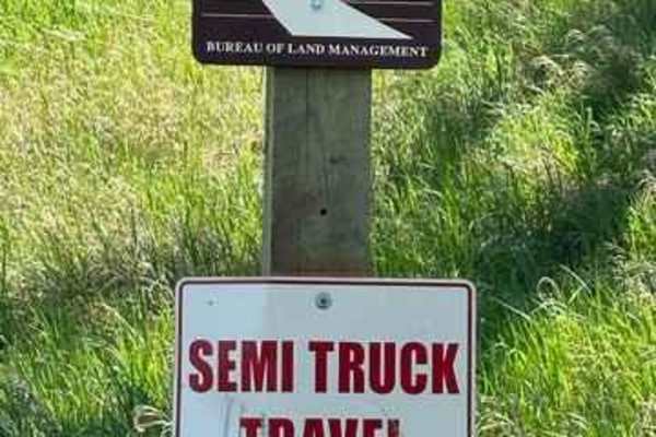
Fort Meade Backcountry Byway
This scenic road is packed with historical significance. There are gorgeous hiking and biking trails as well as multiple equestrian areas as part of this road. You will be treated to the historic original Ft. Meade Cemetery where many of our original settlers and calvary are buried. You will not be ...
Learn more about Fort Meade Backcountry Byway
Beginner ATV trails near Beulah, Wyoming
Explore ATV-friendly trails near you. These trails are accessible for vehicles up to 50 inches wide, perfect for ATVs and smaller off-road machines.
Game Farm
Game farm is a local favorite in the Spearfish Area. The area is a game preserve for the South Dakota Fish and Game Department. It can be accessed from Higgins Gultch Road, or from Tinton in the Big Hill Parking lot. Big Hill offers a staging area with room for trailers. Game Farm offers scenic view...
Learn more about Game Farm
Spearfish Mountain
Spearfish Mountain is one of the three peaks that make up the mountains surrounding Spearfish. It is the only one accessible by off road vehicles. A short drive down Christensen Drive will lead you to the trail head. From here there is one main shot up to the top with a few different spurs off the m...
Learn more about Spearfish Mountain
Boundary Gulch
Boundary Gulch trail is a Black Hills favorite for off-road enthusiasts of all kinds. The trail leads you to the Cement Ridge Fire lookout. Along the way, you will find ponds, scenic outlooks and the remnants of Tinton Town, an old mining town that turned into a sawmill for the area. There is privat...
Learn more about Boundary Gulch
Bear Lodge
Bear Lodge is an easy well maintained road for Jeeps, SUVs, Overlanders and horse trailers. 4x4 might be needed in the spring, as there might still be snow and mud. Any vehicle, without four-wheel-drive, may enjoy this road during the dry season. This road has many access points for mountain biking,...
Learn more about Bear Lodge
Beginner UTV/side-by-side trails near Beulah, Wyoming
Find UTV and side-by-side trails near you. These trails accommodate vehicles up to 60 inches wide, ideal for UTVs, side-by-sides, and wider off-road rigs.
Game Farm
Game farm is a local favorite in the Spearfish Area. The area is a game preserve for the South Dakota Fish and Game Department. It can be accessed from Higgins Gultch Road, or from Tinton in the Big Hill Parking lot. Big Hill offers a staging area with room for trailers. Game Farm offers scenic view...
Learn more about Game Farm
Spearfish Mountain
Spearfish Mountain is one of the three peaks that make up the mountains surrounding Spearfish. It is the only one accessible by off road vehicles. A short drive down Christensen Drive will lead you to the trail head. From here there is one main shot up to the top with a few different spurs off the m...
Learn more about Spearfish Mountain
Boundary Gulch
Boundary Gulch trail is a Black Hills favorite for off-road enthusiasts of all kinds. The trail leads you to the Cement Ridge Fire lookout. Along the way, you will find ponds, scenic outlooks and the remnants of Tinton Town, an old mining town that turned into a sawmill for the area. There is privat...
Learn more about Boundary Gulch
Cement Ridge Fire Lookout
Leaving Spearfish Canyon from Savoy, you'll find yourself on Roughlock Falls Road, a well-maintained gravel road that leads you up to Cement Ridge Fire Lookout, which boasts expansive views of the Black Hills Forest and surrounding area. If you decide to take the trail down to Grand Canyon Road, bew...
Learn more about Cement Ridge Fire Lookout
The onX Offroad Difference
onX Offroad combines trail photos, descriptions, difficulty ratings, width restrictions, seasonality, and more in a user-friendly interface. Available on all devices, with offline access and full compatibility with CarPlay and Android Auto. Discover what you're missing today!
Open Trail Map