Tinton Road

Total Miles25.2
Technical Rating
1Easy
Best TimeSpring, Summer, Fall, Winter
Trail TypeFull-Width Road
Accessible By
Open Trail Map

Trail Overview

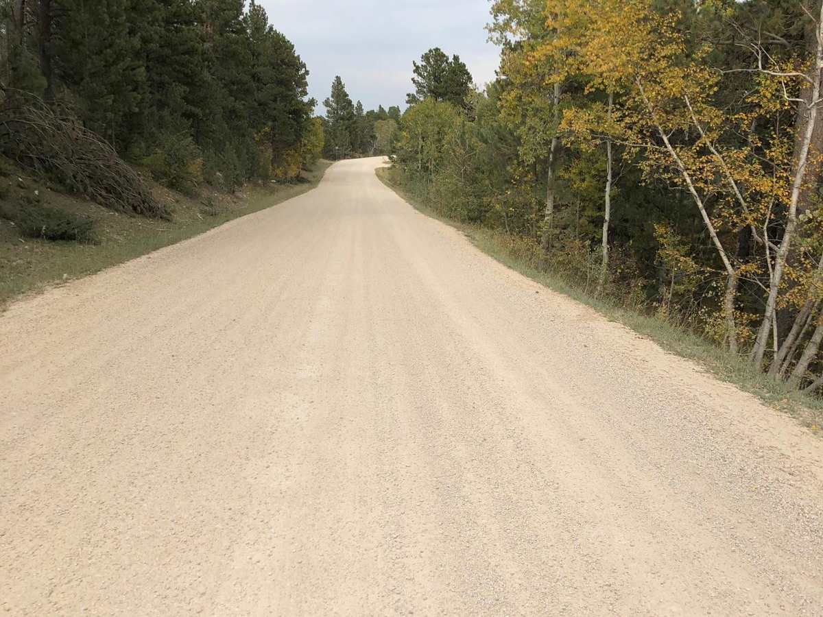
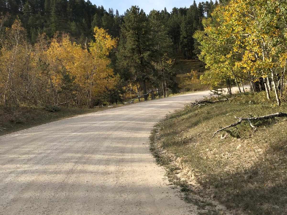
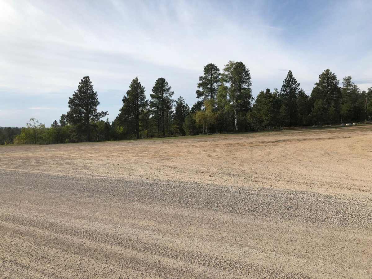
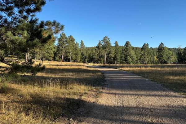
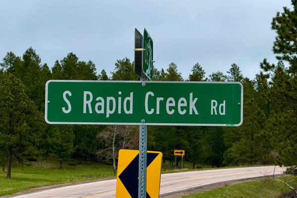
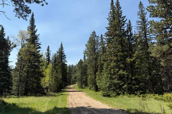
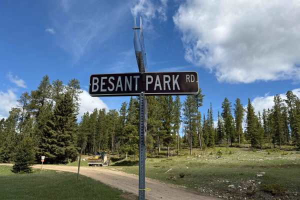
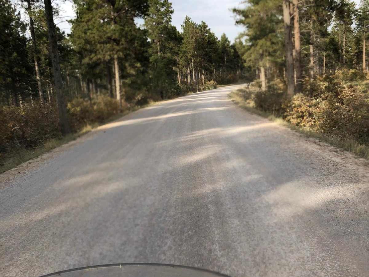
Tinton Road (Forest Service Road 134) is a scenic, 25.2-mile graded gravel road connecting Spearfish, South Dakota, to the western Black Hills National Forest. Reaching 6,533 feet, this wide, flat corridor is suitable for all vehicles in dry conditions, winding through pine forests and open valleys. The route serves as a major access corridor for OHV staging areas, campsites, and trailheads like Crow Peak and Bald Mountain. Expect washboard sections, dust, and oncoming multi-use traffic on blind corners.

Photos of Tinton Road

Difficulty

100% double-wide gravel road.

Technical Rating

1

Status Reports

Add Status Report
Jon Jennings
Dec 27, 2025
2025 Jeep Wrangler
Open
Snow/Ice
SOLID ICE almost the entire route
Esther and Tom Newcomb
Jul 10, 2025
Open
Normal
Some dispersed camping was on this trail. Lots of traffic coming from the north. Wide enough for two vehicles to pass safely. Gravel.
Skunk Ape Offroad
May 25, 2025
2025 Jeep Gladiator
Open
WashboardMuddy/Wet

Tinton Road Trail can be accessed by the following ride types:

  • Single Track
  • 50 Inch
  • 60 Inch
  • High Clearance
  • Full Width

Access Description

Managed by the U.S. Forest Service within the Black Hills National Forest. No permits or fees are required to travel along Tinton Road, but off-highway vehicles (OHVs) must be registered and compliant with South Dakota or Wyoming state laws depending on where they cross the border or exit onto secondary trails.

Tinton Road Map

The onX Offroad Difference

onX Offroad combines trail photos, descriptions, difficulty ratings, width restrictions, seasonality, and more in a user-friendly interface. Available on all devices, with offline access and full compatibility with CarPlay and Android Auto. Discover what you're missing today!

Open Trail Map