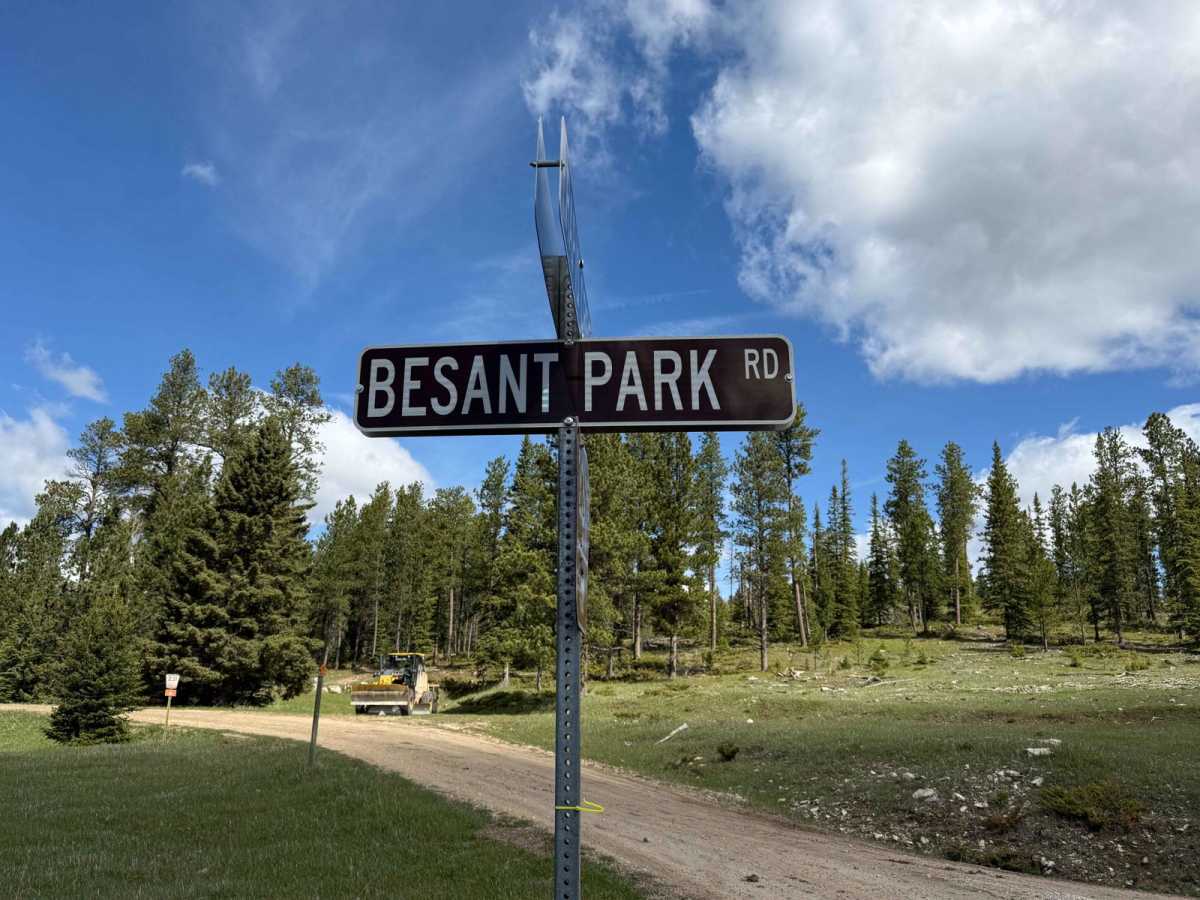
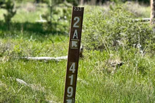
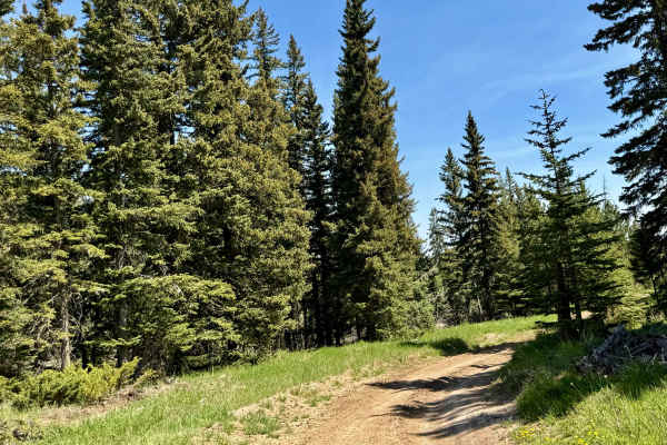
Trail Overview
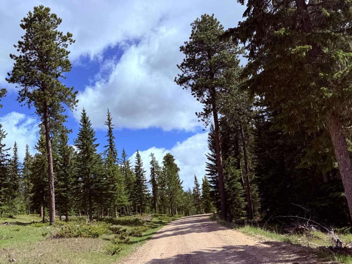
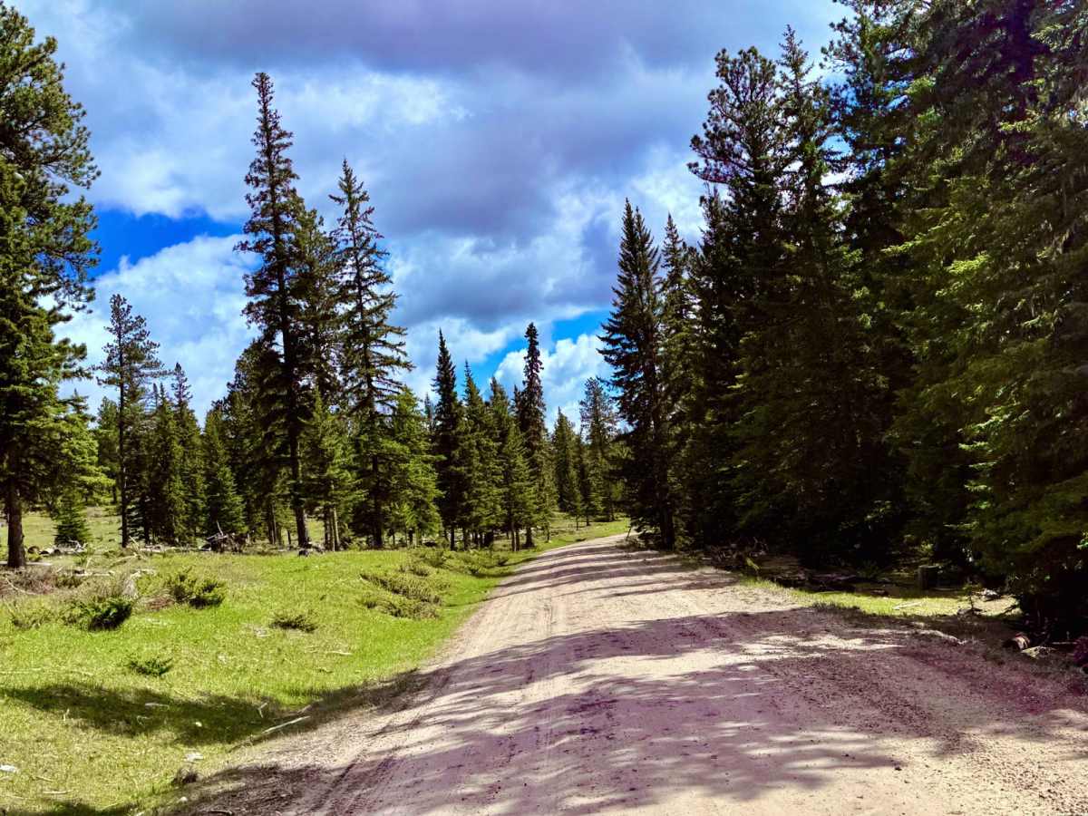
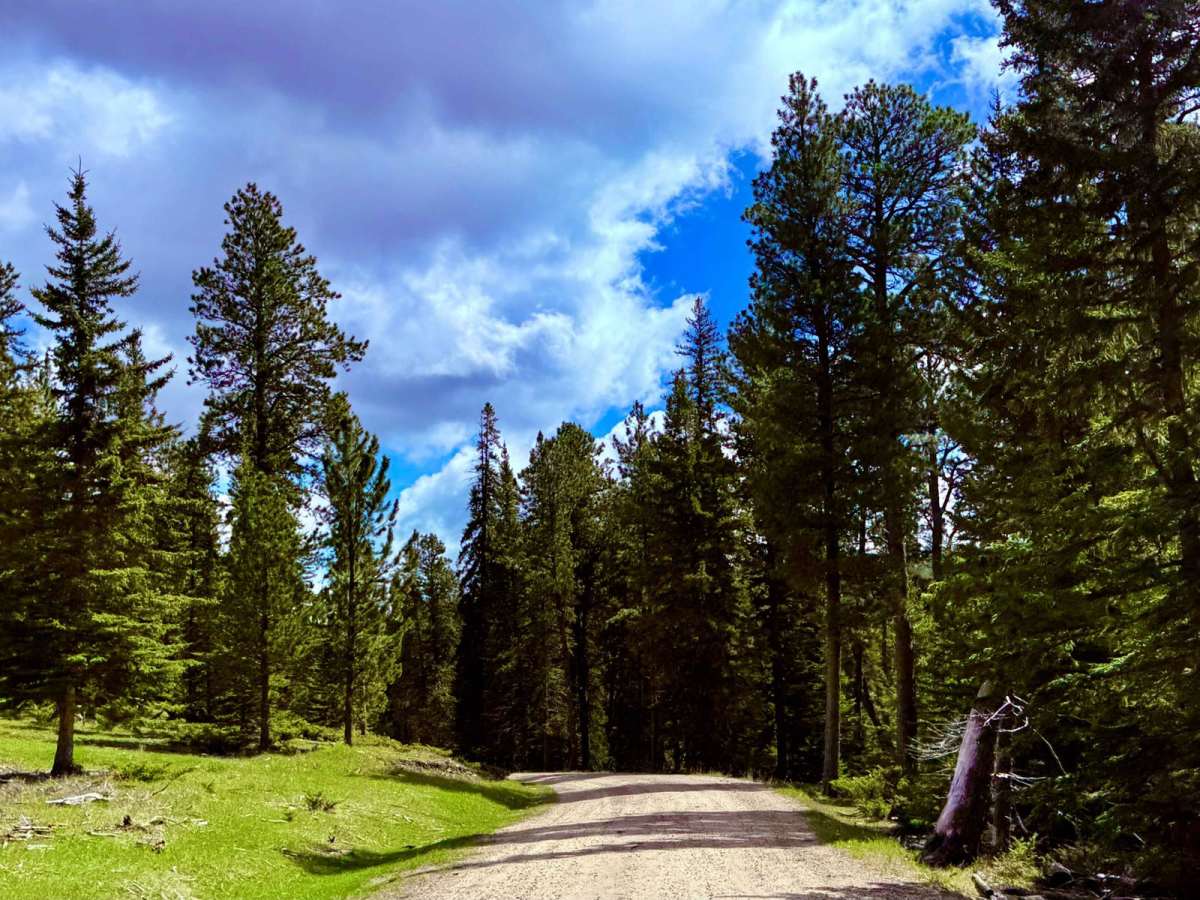
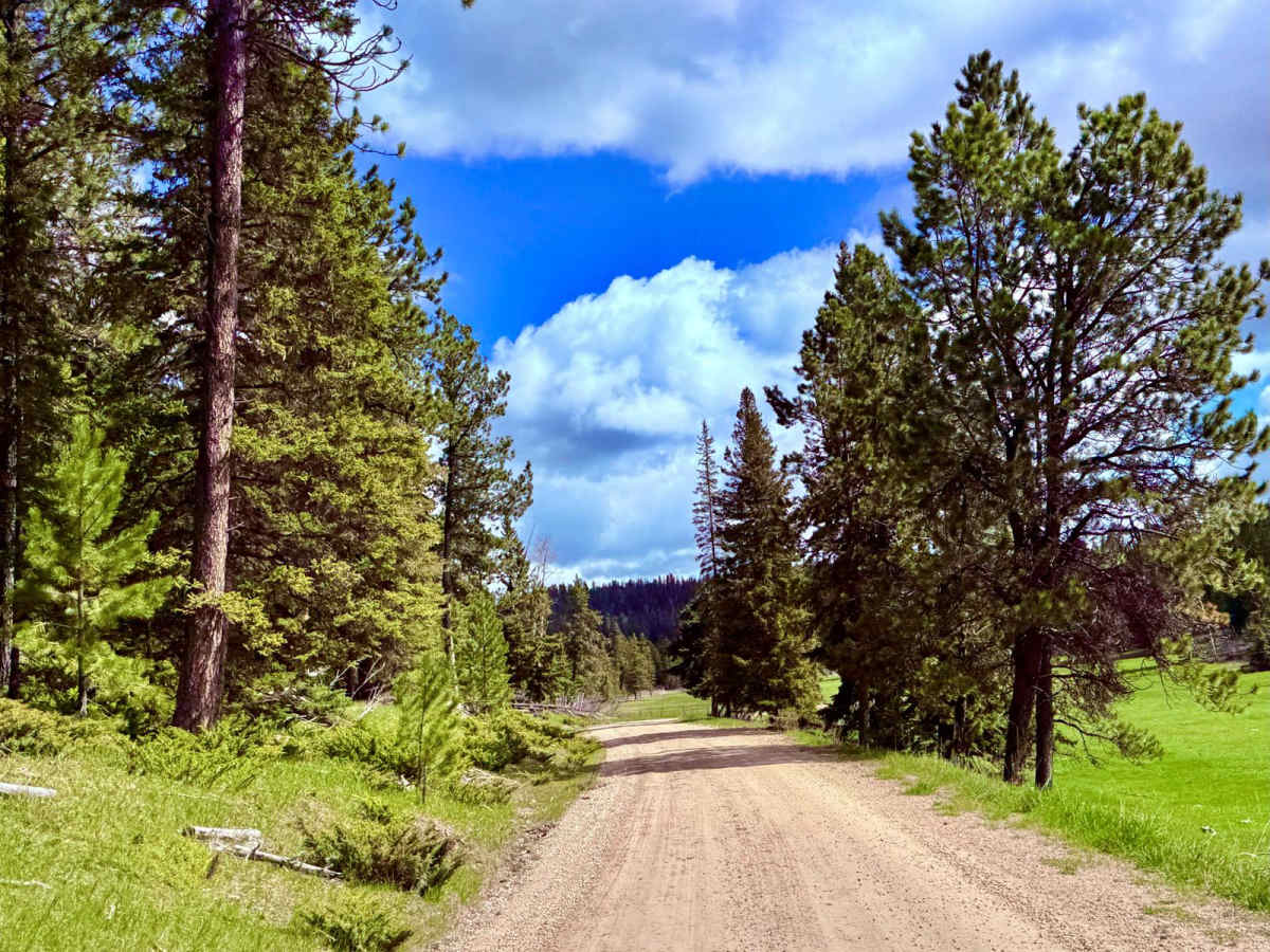
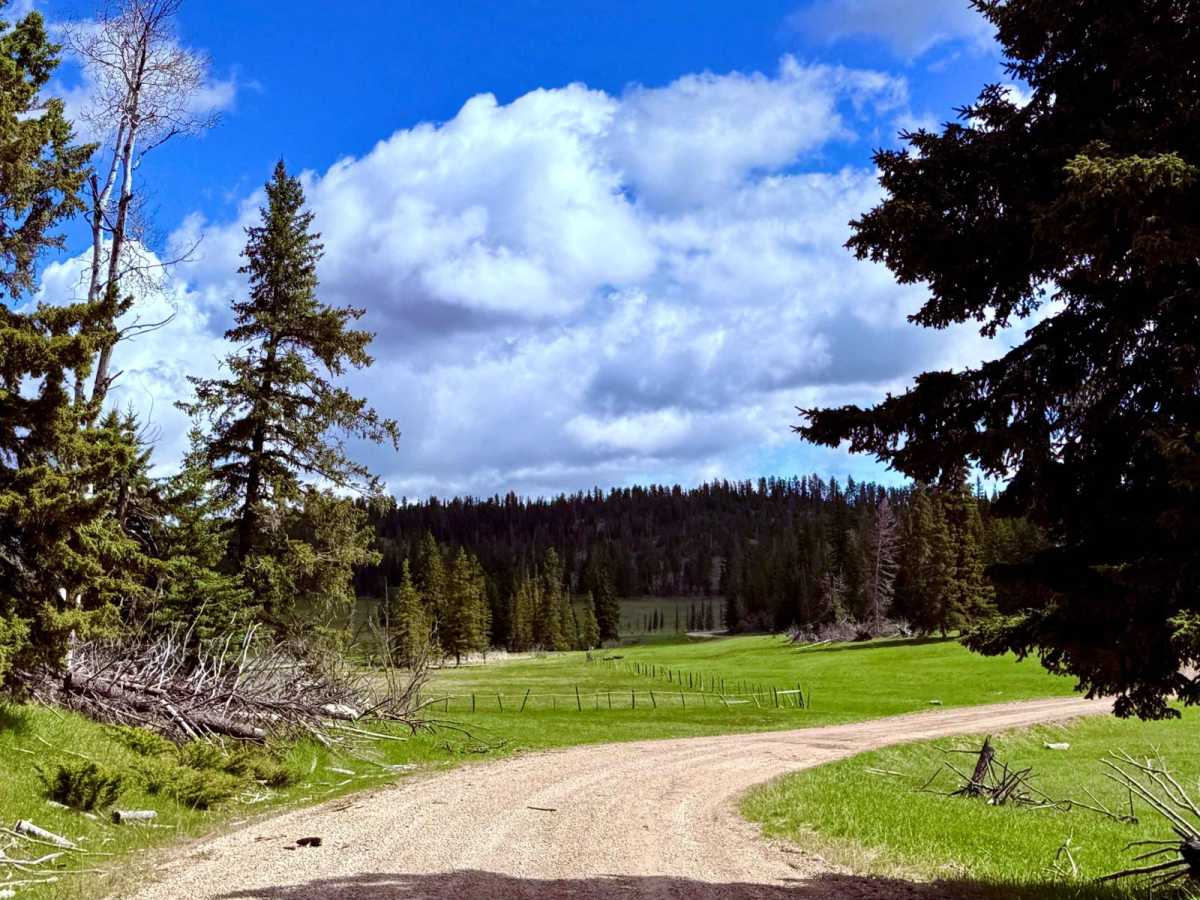
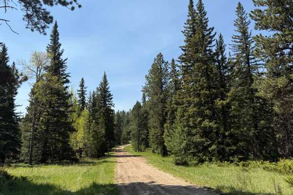
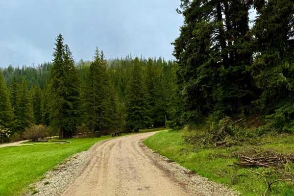
FS 206 into Besant Park is one of those low-key gems -- narrow in spots, winding through thick timber, and then suddenly opening up into wide meadows that feel like they've been hidden for decades. This route stays mellow overall but has a few tight one-lane sections that add just enough spice. The scenery really kicks in as you reach the park itself -- a mix of tall grass, scattered pine, and wide open views that make it clear why this area was chosen for elk habitat restoration. Ongoing forest management projects have worked to thin the timber and restore native vegetation, giving elk more room to graze and bed down -- and it shows. Sign is heavy, especially in the early mornings and late fall. Historically, Besant Park was once used as an early grazing and timber access area, and remnants of old fencing and historic forest service work can still be found tucked back in the trees. It's quiet now -- peaceful, scenic, and very much worth the detour. Dispersed camping isn't obvious along the main road, but a couple of short spurs offer good scouting options. Pack in, pack out, leave no trace, and tread lightly.
Difficulty
While a fairly easy drive, this part of the forest is susceptible to heavy snow and rain, and unexpected conditions. Check before heading out. Note that some of the corners are blind, and only one lane.