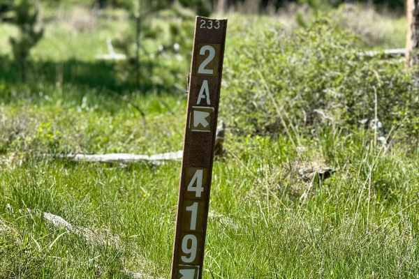
Trail Overview
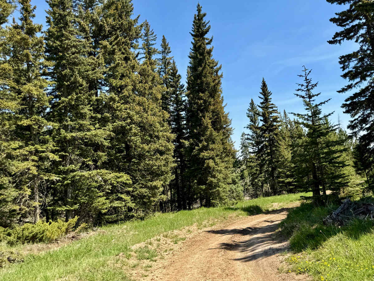
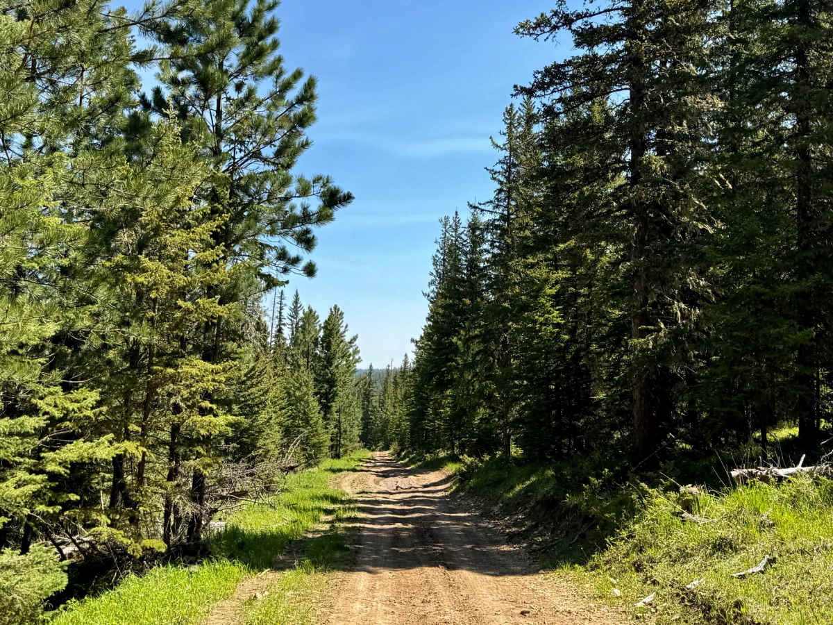
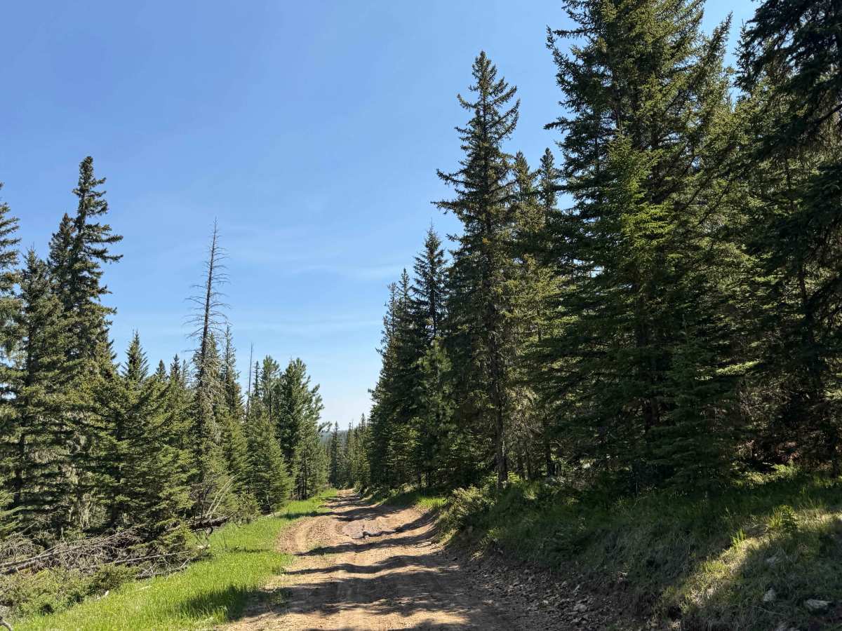
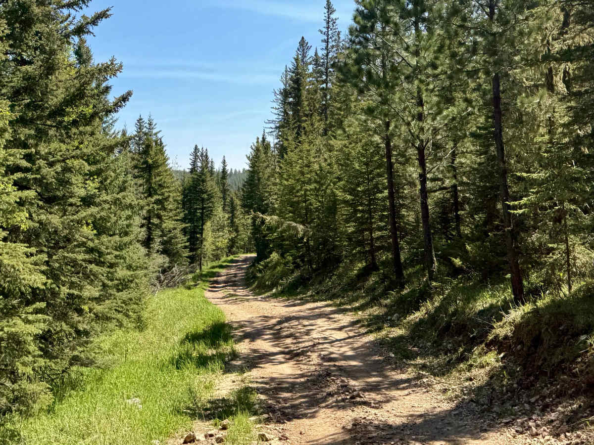
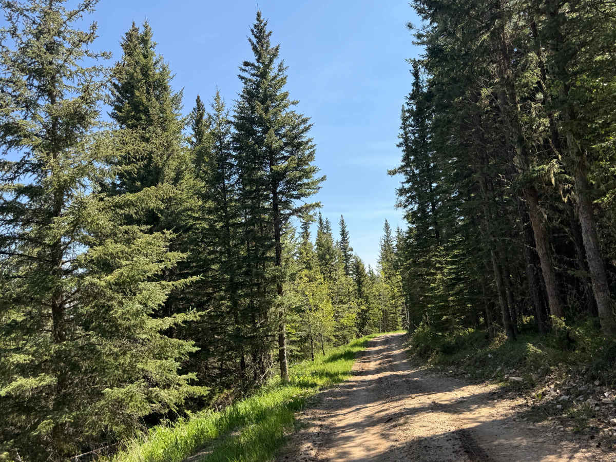
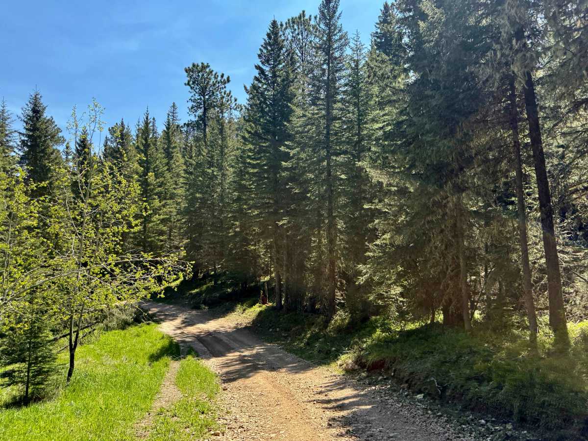
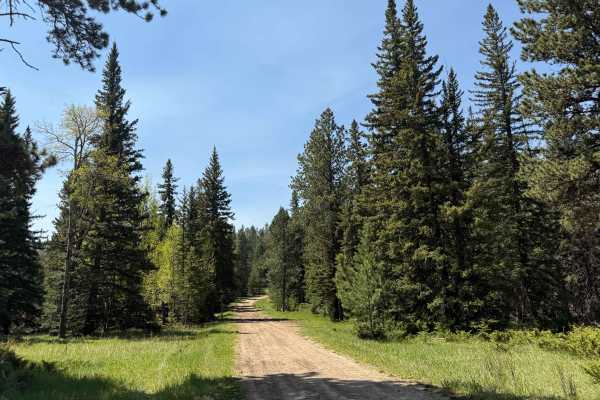
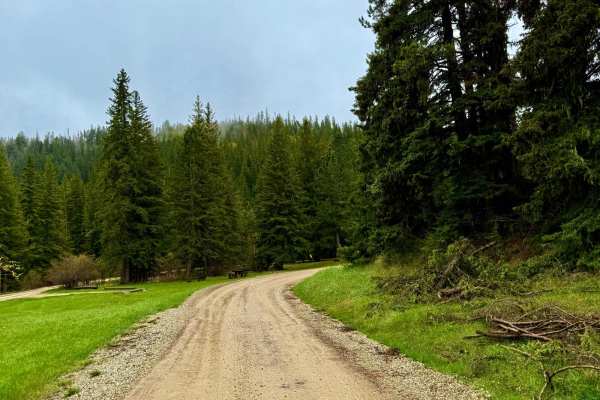
Trebor Draw starts off Forest Service Road 631 and winds through the heart of Trebor Draw in the Mystic Ranger District. It’s a beautiful stretch—tight pine forest gives way to big, open plains the higher you climb. Rocky in spots with loose tread and tight turns, the trail is rough enough to keep things interesting but short enough to run without much planning.
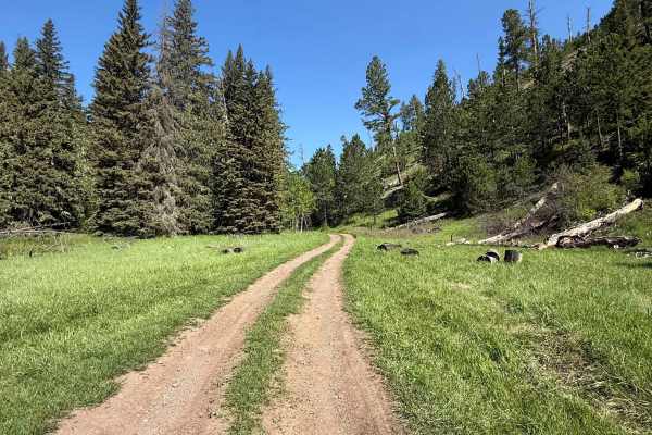
There’s a cattle gate about midway—please close it behind you. Wildlife is common through here, especially early mornings. The road dead-ends in a timbered basin with limited space to turn around. No formal campsites, but a few clearings could work for dispersed setups.
Pack in, pack out, leave no trace, and tread lightly.
Difficulty
In dry summer conditions, this trail is generally easy to navigate with only light rutting. However, following rain or snow, the road can become very slick, which can significantly increase the difficulty. Drivers should use caution and watch for unexpected mud holes and large rocks exposed in the roadway.
History
No official landmark, mine, or logging camp is tied directly to Trebor Draw, but it exists in a landscape deeply influenced by Black Hills mining and timber history. The draw itself seems to have remained largely undeveloped until designated as a low-standard spur (FS 631.2C) for forest access—an echo of the early logging routes that once cut corners and connected remote stands to larger operations.