
Beginner Off-Road Trails
Near Beaver Dam, Arizona
Explore All Beginner Trails Near Beaver Dam, Arizona
Beginner Off-Road Trails Near Beaver Dam, Arizona
Discover the best beginner-friendly off-road trails near you. These easier, lower-rated trails are a great place to start — browse trail maps, check difficulty ratings, and find your next adventure.
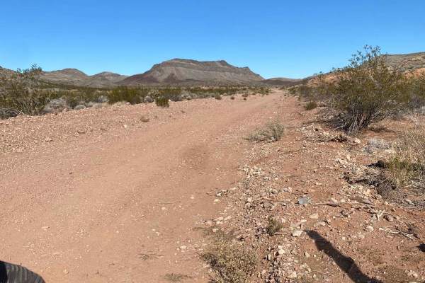
Beaver Dam to Caliente
This is a fun and very scenic route from Beaver Dam, Arizona, to Caliente, Nevada that is 100% dirt and a perfect mix of fast open desert, twisty mountain roads, and a lot of elevation changes from 1,800 feet to over 6,600 feet. This route is also very close to the three corners where Nevada, Utah, ...
Learn more about Beaver Dam to Caliente
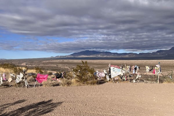
Thelma and Louise Trail
Many have heard of the movie Thelma and Louise. Come see the jump site and some surrounding additions to the adjacent fence. This is a fun, easy trail that can be added to a visit to the Three Corners Monument. There are also lots of other things to see, including some beautiful Joshua tree forested...
Learn more about Thelma and Louise Trail
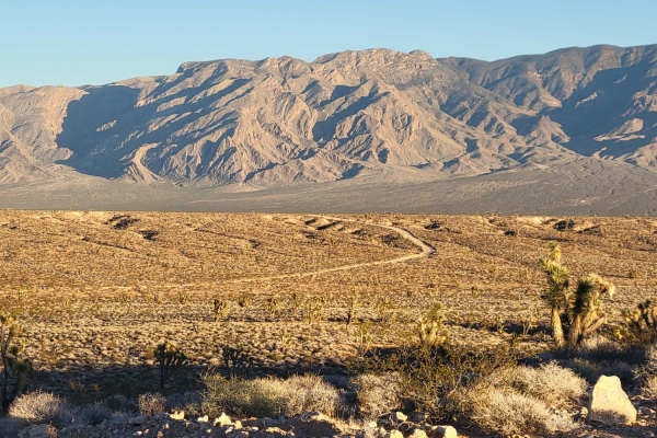
Diagonal Alley
This dirt road cuts across the desert and connects to several other trails in the area. This route is pretty rocky and bumpy, with several rough washboard sections. It ends/starts just West of the Beaver Dam highway exit. Summer months will reach triple-digit temperatures - plan accordingly with ple...
Learn more about Diagonal Alley
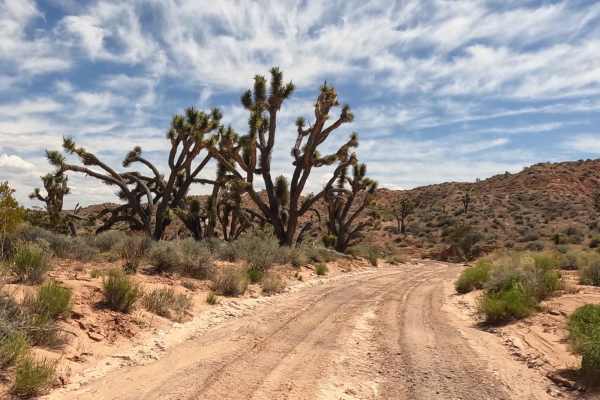
Davidson Wash
While most washes have fun names or names of the water flow that made them, this one is named after the family that tragically lost their lives where the Old Mormon Wagon Trail intersects this wash. A cross marking the location of where they found the parents' bodies can be seen at the location. Ins...
Learn more about Davidson Wash
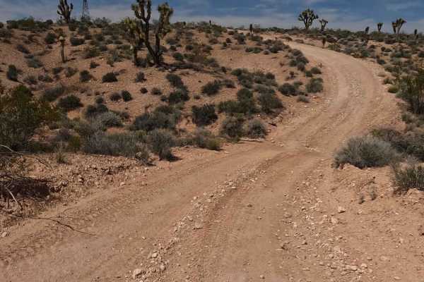
Old Mormon Wagon Trail (West)
This trail is a combination of the westward extension of the Old Mormon Wagon Trail from Beaver Dam Wash as well as the extension of the Powerline Road that runs east of the wash. The two trails diverge at the eastern side of Beaver Dam Wash. This is another portion of the old Mormon wagon trail tha...
Learn more about Old Mormon Wagon Trail (West)
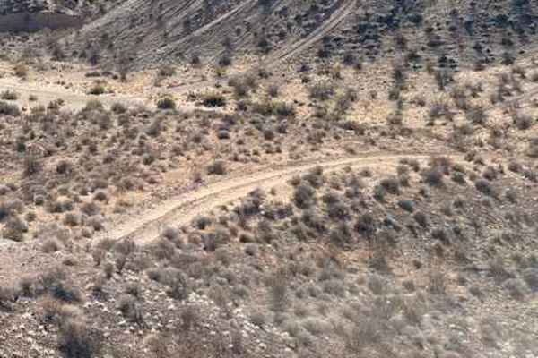
Where's Phil
The trail starts from a huge wash on the North side of Interstate 15. After the first climb, there will be beautiful views where it will connect up to the Three Corners trail. The rating comes from one steep climb, which may be a little challenging for some due to the soft sand. The rest of the trai...
Learn more about Where's Phil
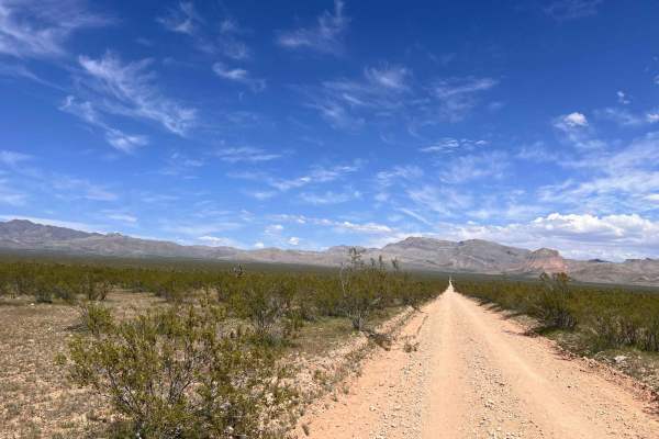
Old Mormon Wagon Trail (East)
This is a portion of the old Mormon wagon trail that was first mapped in 1847. The early pioneers were seeking a route to modern southern California to provide a means of gathering needed goods and supplies. The history of this trail is provided by the BLM website. This is a portion of the trail tha...
Learn more about Old Mormon Wagon Trail (East)
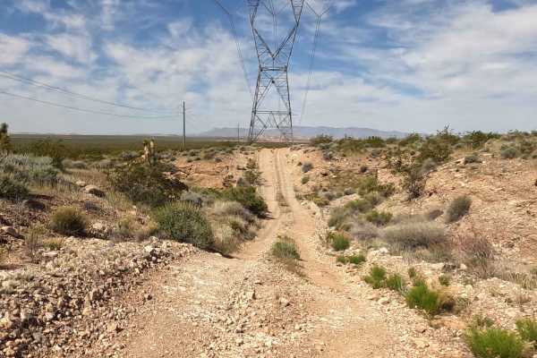
Powerline Road
This is both a fun and useful trail for traversing the desert area north of Beaver Dam. One end connects just above the Beaver Dam Wash and the other end goes up on the mountain ridge to take you back to Bloomington if you can get over the mountain. It is high enough in the valley to provide some wo...
Learn more about Powerline Road
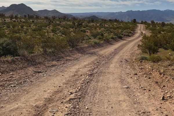
Sink Hole
This is a fun add-on adventure if you are in the Beaver Dam area. It leads to a very large sinkhole with a surprise in the bottom. The trail is mostly narrow single track with some small washes. There are also beautiful views of the general area due to the trail's elevation. It is fun to imagine you...
Learn more about Sink Hole
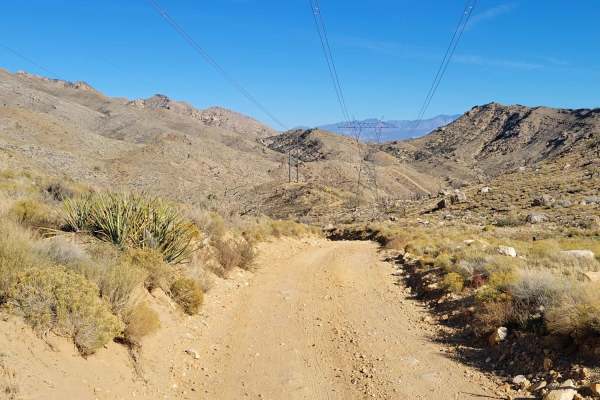
Joshua Tree Road
This route is part of the Mojave Desert Scenic Backway. This section is predominantly an easy, maintained dirt road. As you make your way up and over the Beaver Dam Mountains, you will encounter a few rocky patches on trail, but nothing of significant difficulty. There is a section on the Western si...
Learn more about Joshua Tree Road
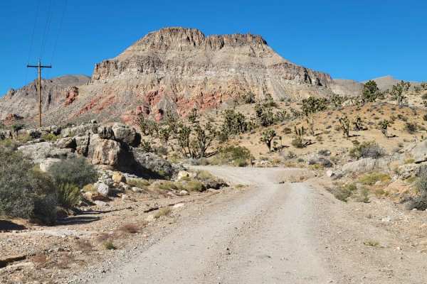
Cedar Pocket Road
This scenic trail weaves its way up, over, through the Beaver Dam Mountain Wilderness. It's easy enough for most 2WD, although the trail is unmaintained after rain or winter conditions. One or two very small washes to cross. This trail leads past the Cedar Pocket Wash Trailhead as well as the Cedar ...
Learn more about Cedar Pocket Road
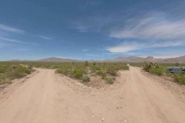
Waterline Road-BLM30095
Waterline Road-BLM30095 is a 2.8-mile point-to-point single-track trail within the Beaver Dam Wash National Conservation Area. It is rated 3 of 10 as it is not maintained by the BLM. The trail connects BLM30086 with the Arizona border. This trail crosses the alluvial plain of the Beaver Dam Mountain...
Learn more about Waterline Road-BLM30095
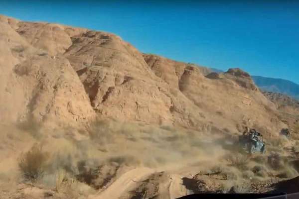
Policemans' Wash
Policemans' Wash is an exhilarating sand-wash route designed for offroaders seeking a dynamic, fast-paced desert ride with banked turns and beautiful desert scenery just north of Mesquite. This trail features a constantly shifting sandy bottom with high banked turns, meaning the track layout evolves...
Learn more about Policemans' Wash
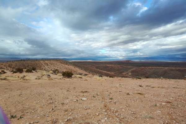
Mixer
This route features varied terrain, hill climbs, rocks, gravel and sand. This trail covers a good portion of the area and includes a mix of nearly paved quality gravel roads, two-track Jeep/SxS and single track. Initially it's mostly easy gravel, then single track, then cross country wash riding, an...
Learn more about Mixer
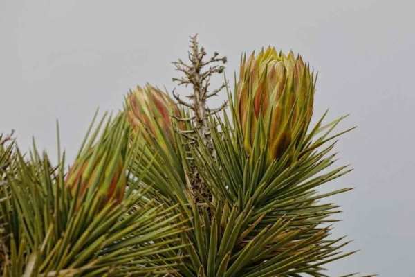
BLM30091
BLM30091 is a 2.9-mile point-to-point single-track trail within the Beaver Dam Wash National Conservation Area. It is rated 3 of 10 as it is not maintained by the BLM. The trail connects Water Trough Road-BLM30084 with Waterline Road-BLM30086. This trail crosses the alluvial plain of the Beaver Dam ...
Learn more about BLM30091
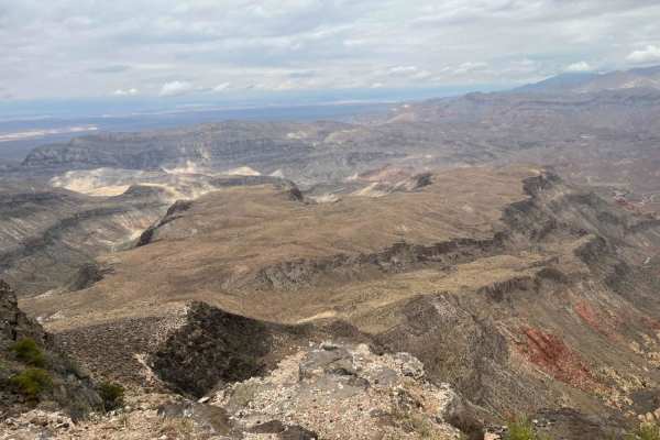
Cedar Pockets Overlook
This is a short but exciting adventure that ends at a solar-powered cell tower complex and views of the Virgin River Gorge that are spectacular. There is one gate that should be left closed. The cell tower provides some cell coverage in the gorge, especially for those staying at the Cedar Pockets ca...
Learn more about Cedar Pockets Overlook
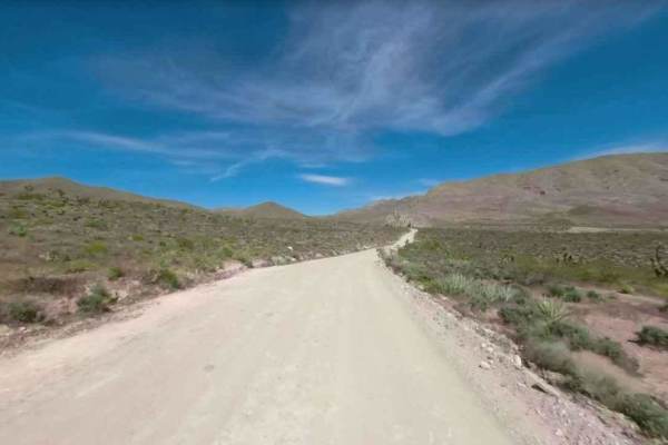
Lytle Ranch Road East
Lytle Ranch Road East is a 4.7-mile point-to-point access road leading into the Beaver Dam Wash National Conservation Area. The Beaver Dam Wash NCA is approximately 63,500 acres located in the southwestern corner of Washington County, Utah. The landscape provides an interesting ecological transition...
Learn more about Lytle Ranch Road East
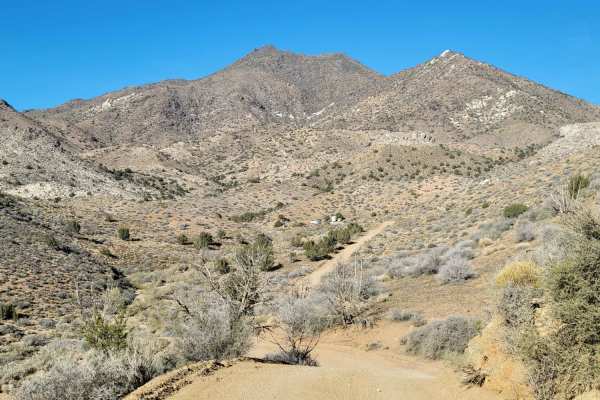
Welcome Springs Road
Welcome Springs Road is an easy, scenic dirt route perfect for beginners, climbers, and recreational drivers looking to access the rugged Beaver Dam Mountains of southwestern Utah. Stretching nearly 1.9 miles, this straightforward trail climbs approximately 690 feet from its southern junction, offer...
Learn more about Welcome Springs Road
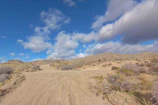
Waterline Road-BLM30086
Waterline Road-BLM30086 is a 3.8-mile point-to-point single-track trail within the Beaver Dam Wash National Conservation Area. It is rated 3 of 10 as it is not maintained by the BLM. The trail connects Lytle Ranch Road and Welcome Springs Road on the north with Highway 91 on the south end. This trai...
Learn more about Waterline Road-BLM30086
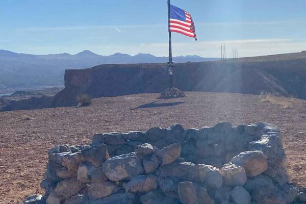
Mesquite American Flag Overlook
This short trip offers great views of Mesquite, Nevada, and Scenic, Arizona. Behind these towns, you will see Virgin Peak and much of the Virgin River. There is a bench along the way to sit and take in the picturesque sites. At the American Flag, there is also a stone firepit, making it a great plac...
Learn more about Mesquite American Flag Overlook
Beginner ATV trails near Beaver Dam, Arizona
Explore ATV-friendly trails near you. These trails are accessible for vehicles up to 50 inches wide, perfect for ATVs and smaller off-road machines.
Beaver Dam to Caliente
This is a fun and very scenic route from Beaver Dam, Arizona, to Caliente, Nevada that is 100% dirt and a perfect mix of fast open desert, twisty mountain roads, and a lot of elevation changes from 1,800 feet to over 6,600 feet. This route is also very close to the three corners where Nevada, Utah, ...
Learn more about Beaver Dam to Caliente
Thelma and Louise Trail
Many have heard of the movie Thelma and Louise. Come see the jump site and some surrounding additions to the adjacent fence. This is a fun, easy trail that can be added to a visit to the Three Corners Monument. There are also lots of other things to see, including some beautiful Joshua tree forested...
Learn more about Thelma and Louise Trail
Diagonal Alley
This dirt road cuts across the desert and connects to several other trails in the area. This route is pretty rocky and bumpy, with several rough washboard sections. It ends/starts just West of the Beaver Dam highway exit. Summer months will reach triple-digit temperatures - plan accordingly with ple...
Learn more about Diagonal Alley
Davidson Wash
While most washes have fun names or names of the water flow that made them, this one is named after the family that tragically lost their lives where the Old Mormon Wagon Trail intersects this wash. A cross marking the location of where they found the parents' bodies can be seen at the location. Ins...
Learn more about Davidson Wash
Beginner UTV/side-by-side trails near Beaver Dam, Arizona
Find UTV and side-by-side trails near you. These trails accommodate vehicles up to 60 inches wide, ideal for UTVs, side-by-sides, and wider off-road rigs.
Beaver Dam to Caliente
This is a fun and very scenic route from Beaver Dam, Arizona, to Caliente, Nevada that is 100% dirt and a perfect mix of fast open desert, twisty mountain roads, and a lot of elevation changes from 1,800 feet to over 6,600 feet. This route is also very close to the three corners where Nevada, Utah, ...
Learn more about Beaver Dam to Caliente
Thelma and Louise Trail
Many have heard of the movie Thelma and Louise. Come see the jump site and some surrounding additions to the adjacent fence. This is a fun, easy trail that can be added to a visit to the Three Corners Monument. There are also lots of other things to see, including some beautiful Joshua tree forested...
Learn more about Thelma and Louise Trail
Diagonal Alley
This dirt road cuts across the desert and connects to several other trails in the area. This route is pretty rocky and bumpy, with several rough washboard sections. It ends/starts just West of the Beaver Dam highway exit. Summer months will reach triple-digit temperatures - plan accordingly with ple...
Learn more about Diagonal Alley
Davidson Wash
While most washes have fun names or names of the water flow that made them, this one is named after the family that tragically lost their lives where the Old Mormon Wagon Trail intersects this wash. A cross marking the location of where they found the parents' bodies can be seen at the location. Ins...
Learn more about Davidson Wash
The onX Offroad Difference
onX Offroad combines trail photos, descriptions, difficulty ratings, width restrictions, seasonality, and more in a user-friendly interface. Available on all devices, with offline access and full compatibility with CarPlay and Android Auto. Discover what you're missing today!
Open Trail Map