
Beginner Off-Road Trails
Near Alpine, Texas
Explore All Beginner Trails Near Alpine, Texas
Beginner Off-Road Trails Near Alpine, Texas
Discover the best beginner-friendly off-road trails near you. These easier, lower-rated trails are a great place to start — browse trail maps, check difficulty ratings, and find your next adventure.

BBRSP Papalote de la Sierra
Street Legal, 4WD, High Clearance vehicles only. Papalote de la Sierra Road reaches the farthest northern section of the Ranch. This remote section is part of the higher elevation known as the Cienega Region. This narrow two-track crosses dry creek beds and climbs to hill tops for wide views. There...
Learn more about BBRSP Papalote de la Sierra

BBRSP West Casa Ramon
Street legal vehicles only. A permit is required from the Ranch Visitor Centers. West Casa Ramon is a two-track road through the rocky area of the North Cienega region and has a designated campsite near the south end of the road. The campsite is located at an old set of pens with a large water tank....
Learn more about BBRSP West Casa Ramon

BBRSP Lower Alamito Road
Lower Alamito is a high-clearance 4WD Unmaintained road that wanders through some very large Ocotillo plants that resemble forests of Saguaro cactus. In bloom, these plants display a brilliant red flower-type bud. The Ocotillo can live over 100 years. Lower Alamito Rd follows in a sandy wash, of wh...
Learn more about BBRSP Lower Alamito Road
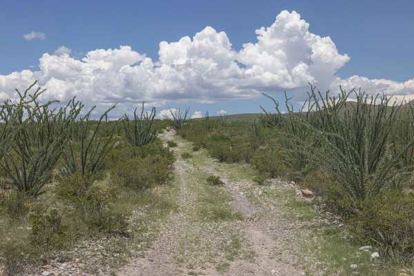
BBRSP Cat Spring Road
Cat Spring is a 4WD High Clearance Unmaintained Road that offers two water springs along its way. Cat Spring and Chupadero Spring. This road is primarily a two-track and is not maintained. Nature is reclaiming the road back, and very seldom is it ever driven. The ruins at the Chupadero Spring hold ...
Learn more about BBRSP Cat Spring Road
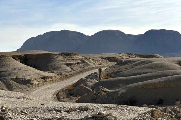
Agua Fria Road
Agua Fría Road is a scenic backcountry dirt road just outside Terlingua that winds through classic Chihuahuan Desert terrain. The route is primarily compact dirt with occasional loose rock and sandy patches, making it an enjoyable and straightforward drive in dry conditions. As you travel the road, ...
Learn more about Agua Fria Road
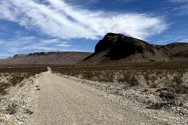
Red Bluff Mountain Loop
Red Bluff Mountain Road travels through the rugged desert landscape of West Texas, offering expansive views of the surrounding Chihuahuan Desert and close-up perspectives of Red Bluff Mountain itself. The route follows a dirt and gravel surface with sections of loose rock and natural desert erosion....
Learn more about Red Bluff Mountain Loop
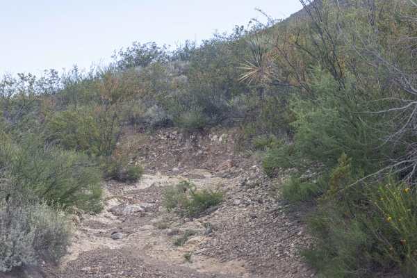
BBRSP Vasquez House Road
Vasquez House Road is a rugged, non-maintained two-track route requiring a street-legal, high-clearance 4WD vehicle. Conditions can be challenging, especially after the monsoon season, when rock stacking may be necessary. The route passes through dense ocotillo stands, where pinstriping is likely, a...
Learn more about BBRSP Vasquez House Road

BBRSP Casa Ramon Trail
Street Legal, 4WD, High Clearance vehicles only. This is currently an out-and-back, as there is an eight-foot wall near the RR tracks at the north end of the road. This two-track wanders through the southern section of the Cienega Region with its current end after the Alamito Creek crossing. It hol...
Learn more about BBRSP Casa Ramon Trail
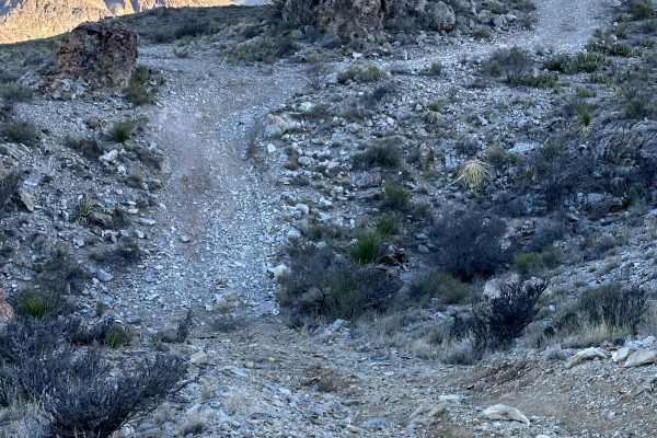
Goliad Drive
Goliad Drive traverses classic Chihuahuan Desert terrain, running along the base and lower slopes of Agua Fría Mountain. The route follows a rugged dirt and rock surface with sections of loose stone, uneven grading, and natural desert erosion. As the trail contours along the mountainside, drivers wi...
Learn more about Goliad Drive
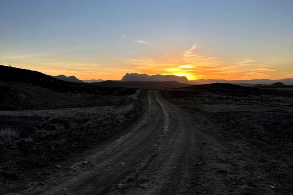
Mailbox Road
Mailbox Road is a scenic desert backroad winding through classic Chihuahuan Desert terrain. The surface is primarily dirt with sections of loose gravel and light washboarding, making it an enjoyable and generally smooth drive in dry conditions. The route features beautiful desert views and cool-look...
Learn more about Mailbox Road
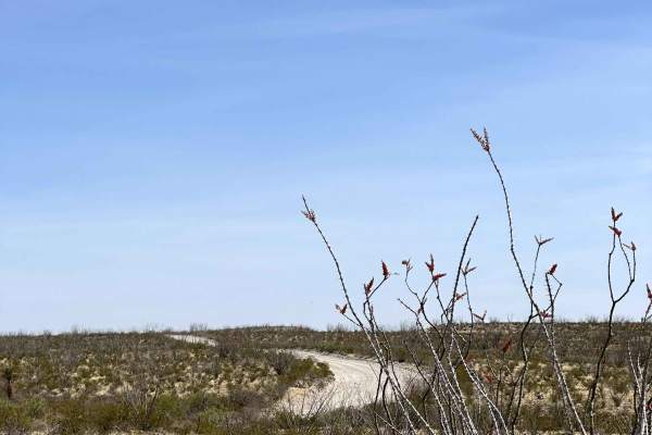
Highway 169
Highway 169 is a scenic back road in the Big Bend Ranch State Park area that cuts through the desert landscape, connecting the main highway to the park while bypassing the town of Presidio. The route offers wide open views of the Chihuahuan Desert with a mix of gravel and hard-packed surfaces, makin...
Learn more about Highway 169
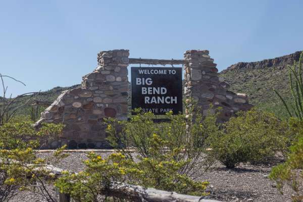
BBRSP Main Road
The main road into the park is a graded road, and 2WD High Clearance is recommended. Street legal vehicles ONLY in the park. This is the only way in and out of the park. There are some washes that can make the road unpassable during heavy rains, but wait it out, and as the water subsides, the wash ...
Learn more about BBRSP Main Road
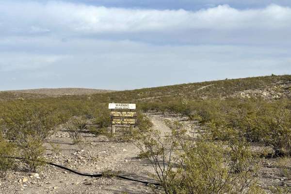
Fresno Vista Road
Fresno Vista Road is a scenic backcountry road located on the east end of Big Bend Ranch State Park in the El Solitario region. The route runs through rugged desert terrain with wide open views and a true remote feel as it winds through the landscape. It leads to an epic campsite tucked out in the b...
Learn more about Fresno Vista Road
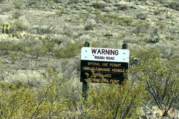
Pila Montoya Road
Pila Montoya Road is a rugged backcountry route in the El Solitario region of Big Bend Ranch State Park, offering a remote drive through expansive desert terrain. Beginning near the Pila Montoya 1 campsite, the road continues to Pila Montoya 2 at its terminus. This endpoint includes a designated cam...
Learn more about Pila Montoya Road

BBRSP - Los Alamos Road
Los Alamos Road is a narrow two-track, loop-type drive through the far East section of the park. The road traverses past one of the Park's Official residence locations. Los Alamos is a 4WD High Clearance non-maintained road with everything the park has to offer in regards to technical driving. Stac...
Learn more about BBRSP - Los Alamos Road
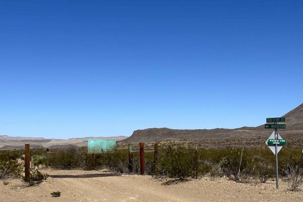
Marathon Road
Marathon Road is a gravel park road inside Big Bend National Park that provides a scenic connection to the Main Park Road. The surface is primarily maintained gravel, offering a smooth and straightforward drive compared to many of the park’s more rugged backcountry routes. As you travel the road, yo...
Learn more about Marathon Road
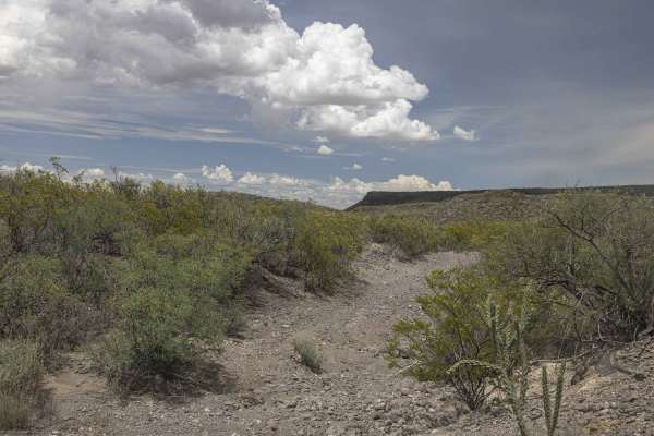
BBRSP Cerro Prietto Windmill Road
Street Legal, 4WD, High Clearance vehicles only. Cerro Prietto Road is a non-maintained road and should be approached as so. This road edges across hilltops and ridgelines in the Northern section of the Ranch. There are two main washes to cross, and they should be avoided if any water is flowing at ...
Learn more about BBRSP Cerro Prietto Windmill Road

BBRSP Solitario Road West
Street Legal, 2WD, High Clearance vehicles only. Solitario West (AKA McGuirks Tanks) is a maintained road to keep easy access to the Burnt Camp Hiking Trailhead. Wide enough for oncoming traffic to pass. Solitario Road West hosts one designated campsite. Road may become rough after heavy rains, so u...
Learn more about BBRSP Solitario Road West

Papalote Nuevo Road
Papalote Nuevo Road is a scenic backcountry road in the El Solitario region of Big Bend Ranch State Park that wraps around a low hill, offering a quiet and secluded drive through the desert. The route follows a natural dirt path with wide open views and a remote feel, leading to a campsite at the en...
Learn more about Papalote Nuevo Road
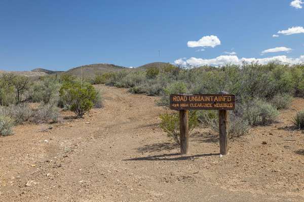
BBRSP - Tres Papalotes Tanks Road
This trail requires 4WD, High Clearance, and is non-maintained. This road is a through road with an off-camber hill climb to the tanks. There is a section of deep wash running down the road with a crude bypass cut past this part. Articulation will carry most past this part. The two-track is narrow,...
Learn more about BBRSP - Tres Papalotes Tanks Road
Beginner ATV trails near Alpine, Texas
Explore ATV-friendly trails near you. These trails are accessible for vehicles up to 50 inches wide, perfect for ATVs and smaller off-road machines.
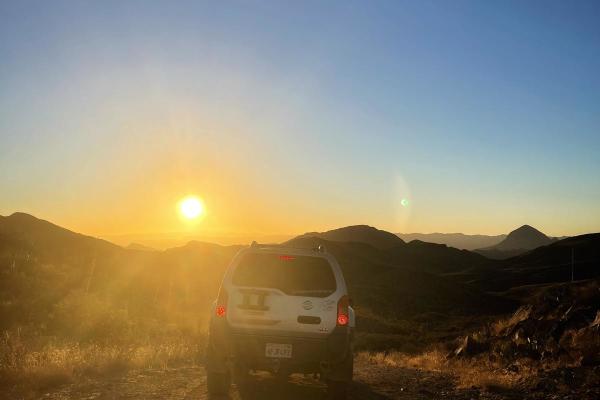
Abandoned Resort
The Abandoned Resort trail is an 8.8-mile scenic desert route through the rugged Terlingua Ranch area, culminating at the unfinished remains of a failed resort and its breached concrete dam. Climbing through striking desert valleys between Paisano Peak and Mount Williams, the trail reaches a peak el...
Learn more about Abandoned Resort
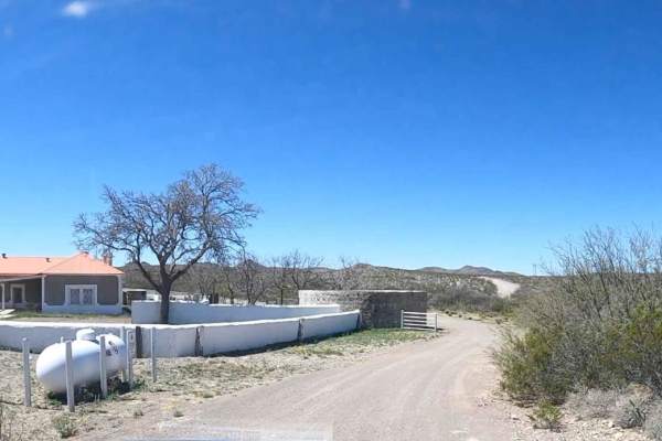
Javelin Road
This is a meandering dirt road through the high desert and hills of Big Bend Ranch State Park. This is the most direct route to Madrid Falls Overlook & Chorro Vista Campground. One of, if not the most, scenic views in the park. The road is not heavily traveled and relatively unmaintained, and narrow...
Learn more about Javelin Road
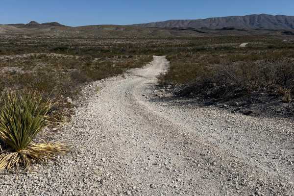
Dagger Flats
The trail starts off as a gravel road that will quickly turn into a washboard-style road. The washboard ruts will come and go, the majority of them being at the beginning and end of the route. This is an out-and-back trail, so everything that you go over, you will drive over again. After the first m...
Learn more about Dagger Flats
Beginner UTV/side-by-side trails near Alpine, Texas
Find UTV and side-by-side trails near you. These trails accommodate vehicles up to 60 inches wide, ideal for UTVs, side-by-sides, and wider off-road rigs.
Javelin Road
This is a meandering dirt road through the high desert and hills of Big Bend Ranch State Park. This is the most direct route to Madrid Falls Overlook & Chorro Vista Campground. One of, if not the most, scenic views in the park. The road is not heavily traveled and relatively unmaintained, and narrow...
Learn more about Javelin Road
Dagger Flats
The trail starts off as a gravel road that will quickly turn into a washboard-style road. The washboard ruts will come and go, the majority of them being at the beginning and end of the route. This is an out-and-back trail, so everything that you go over, you will drive over again. After the first m...
Learn more about Dagger Flats
The onX Offroad Difference
onX Offroad combines trail photos, descriptions, difficulty ratings, width restrictions, seasonality, and more in a user-friendly interface. Available on all devices, with offline access and full compatibility with CarPlay and Android Auto. Discover what you're missing today!
Open Trail Map