
Beginner Off-Road Trails
Near Adairsville, Georgia
Explore All Beginner Trails Near Adairsville, Georgia
Beginner Off-Road Trails Near Adairsville, Georgia
Discover the best beginner-friendly off-road trails near you. These easier, lower-rated trails are a great place to start — browse trail maps, check difficulty ratings, and find your next adventure.
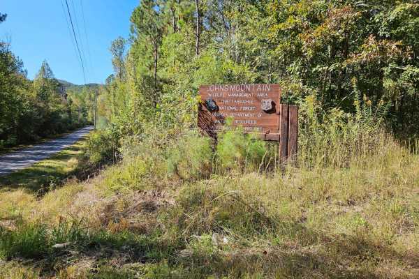
Hidden Creek Road (955-955B)
This route travels the southern portion of Johns Mountain, passing Hidden Creek and offering outstanding views. Throughout this route, you will travel a one-lane service road with rocky surfaces and minimal obstacles to navigate. Watch out for steep drop-offs and sharp turns along the route. This ro...
Learn more about Hidden Creek Road (955-955B)
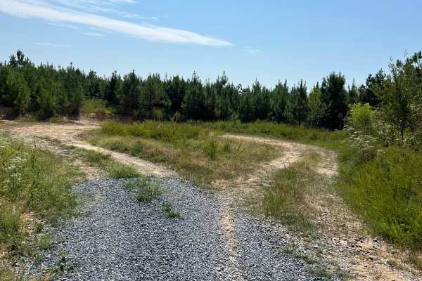
Calbeck - FS 955E
Calebck spurs off of FS 955B, also known as Hidden Creek Road. This freshly graveled track is thick and loose, so please ride with caution if you are on two wheels. The journey begins with a steady elevation gain for the first 2.7 miles. After this ascent, the track drops in elevation by roughly 150...
Learn more about Calbeck - FS 955E
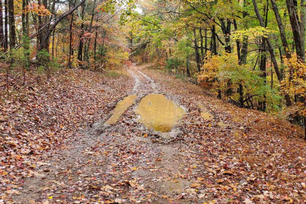
Bow Creek - FS 955F
Bow Creek, FSR 955F, is a seasonally closed forest service road in the John Mountain Wildlife Management area. It is an in-and-out road and the travel time reflects this with the return trip. This forest service road affords great access for hunters with a few campsites along the way. Current 2024 M...
Learn more about Bow Creek - FS 955F
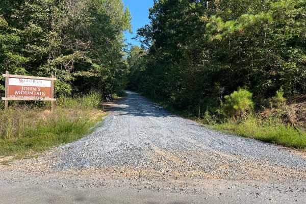
Blue Springs Branch A - FS 955A
This track spurs off of FS 955F, also known as Bow Creek. It is structured as a full out-and-back route along a freshly graveled forest road with a steady, consistent elevation gain throughout the journey. The trail gets quite tight in several places, but fortunately, there are pull-off areas scatte...
Learn more about Blue Springs Branch A - FS 955A
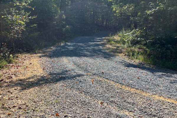
Blue Springs Branch D - FS 955D
This track branches off from FS 955F, also known as Bow Creek, and offers a unique driving experience. Recently, it has been freshly graveled, resulting in a thick and loose gravel surface that adds a bit of challenge to the journey. As you navigate the track, you’ll encounter a steady elevation gai...
Learn more about Blue Springs Branch D - FS 955D
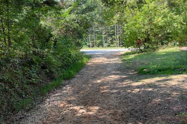
Dunaway Gap - FS 204
This path, situated between Dry Creek Road and Floyd Springs Road NE, primarily features a gravel and dirt track, offering a unique experience for outdoor enthusiasts. As you traverse this route, be prepared to encounter several washouts and ruts, which require careful navigation to ensure safety. T...
Learn more about Dunaway Gap - FS 204
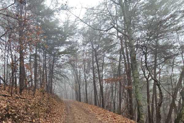
Chestnut Mountain - FS 212A
Chestnut Mountain 212A is a well-maintained road that is passable by most vehicles. Some rutted and rocky areas may be encountered throughout, however, they can be passed with little to no difficulty. Portions of the road have mountain ledges, so drivers should maintain awareness as they follow the ...
Learn more about Chestnut Mountain - FS 212A
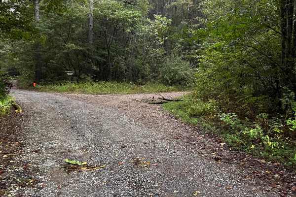
Turkey Creek - FS 212B
Nestled just off the scenic Chestnut Mountain, the Turkey Creek Trail awaits adventurers seeking a tranquil escape into nature’s embrace. This charming two-track trail offers a delightful journey through lush landscapes, where the thrill of exploration begins with a gentle ascent. As you pedal or hi...
Learn more about Turkey Creek - FS 212B
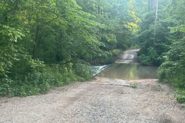
Dry Creek Branch C - Forest Road 226C
This out-and-back trail, typical of those found in the Chattahoochee National Forest, follows a mostly gravel road with some dirt and muddy sections. While generally maintained, drivers should expect occasional ruts and minor washouts. Most vehicles should have no trouble navigating the route. The t...
Learn more about Dry Creek Branch C - Forest Road 226C
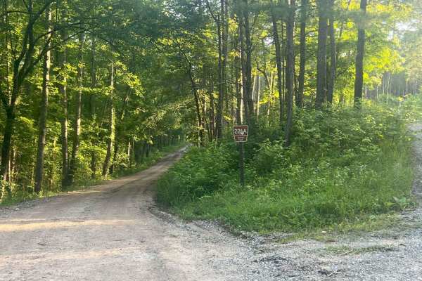
Dry Creek Branch A - Forest Road 226A
This trail, typical of those found in the Chattahoochee National Forest, follows a mostly gravel road with some dirt and muddy sections, running from Dry Creek FR 226 to Dry Creek Branch B-FR 226B. While generally maintained, drivers should expect occasional ruts and minor washouts. Most vehicles sh...
Learn more about Dry Creek Branch A - Forest Road 226A
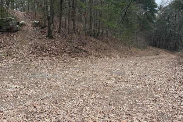
FS 231
FS 231 is accessed directly off of Pocket Road. It is mostly Gravel and Dirt with a mix of ruts and/or washout along the track. It traverses the Bowater road area and climbs a ridge with some switchback turns to a dead-end at the top of the ridge.
Learn more about FS 231
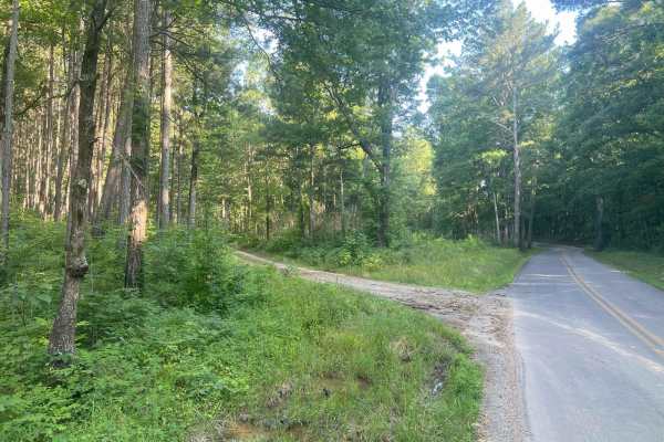
Mount Joy - Forest Road 216
This out-and-back trail, typical of those in the Chattahoochee National Forest, follows a mostly dirt road with some gravel and muddy sections. While generally maintained, drivers should expect ruts and occasional washouts, especially after rain. Most high-clearance vehicles should be able to naviga...
Learn more about Mount Joy - Forest Road 216
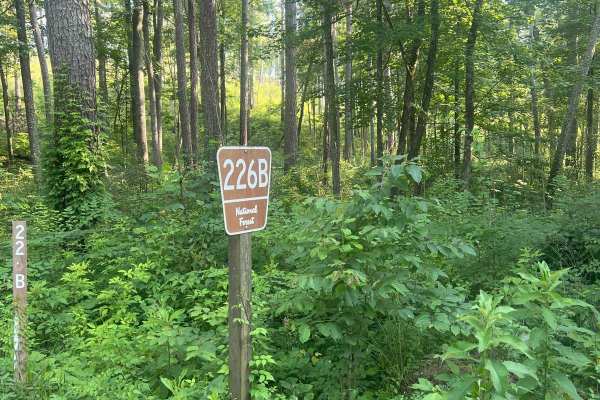
Dry Cr Branch B - Forest Road 226B
This trail, typical of those found in the Chattahoochee National Forest, follows a mostly gravel road with some dirt and muddy sections, running from Dry Creek FR 226 to Dry Creek Branch C FR 226C. While generally maintained, drivers should expect occasional ruts and minor washouts. Most vehicles sh...
Learn more about Dry Cr Branch B - Forest Road 226B
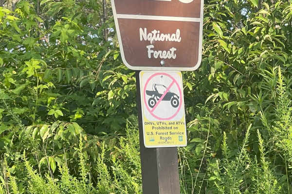
Dry Creek - Forest Road 226
This out-and-back trail, typical of those found in the Chattahoochee National Forest, follows a mostly gravel road with some dirt and muddy sections. While generally maintained, drivers should expect occasional ruts and minor washouts. Most vehicles should have no trouble navigating the route. The t...
Learn more about Dry Creek - Forest Road 226
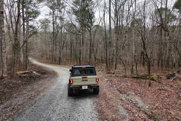
Keown Falls - FS 702
Very short trail that leads to the Trailhead for the Keown Falls hiking trail and connects with the Pinhoti. The trail is a gravel road with minor ruts. Can be traveled by any vehicle. There is parking at the end that can fit many vehicles, although it is advised for larger vehicles to park parallel...
Learn more about Keown Falls - FS 702
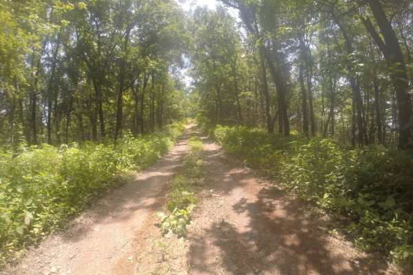
Chestnut Mountain - FS 212
This is an out-and-back trail commonly found in the Chattahoochee National Forest. The route follows a mostly gravel road with some dirt and muddy sections. While it’s generally maintained, expect occasional ruts and minor washouts. Most high-clearance vehicles should have no trouble. The trail is s...
Learn more about Chestnut Mountain - FS 212
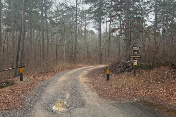
Johns Mountain Overlook - FS 208
Forest Service Road 208 is a gravel road that leads to a beautiful Overlook at the top of John's Mountain. The trail is relatively short at only 2.1 miles and is a consistent climb to the top. This trail does have several places where washouts have rendered the road pretty bumpy with softball-sized ...
Learn more about Johns Mountain Overlook - FS 208
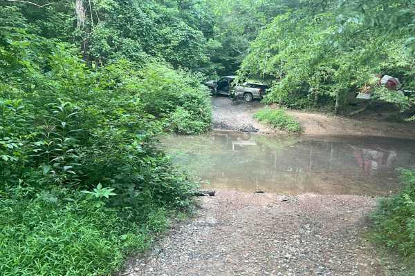
East Armuchee Creek - Forest Road 310
This out-and-back trail, typical of those in the Chattahoochee National Forest, primarily follows a gravel road with occasional dirt sections and muddy puddles. While generally maintained, drivers should expect minor ruts and possible washouts--especially after heavy rain. The trail is single-lane b...
Learn more about East Armuchee Creek - Forest Road 310
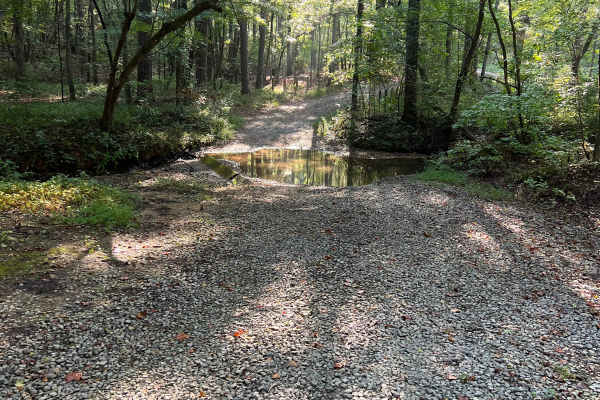
Gentry Gap - FS 233
The route begins just off Pocket Road and follows a two-track trail with a handful of small pull-offs that make passing other vehicles fairly easy. About a mile in, there is a gate that was closed at the time of the visit. The drive is scenic, winding through a quiet forest on a mix of gravel and di...
Learn more about Gentry Gap - FS 233
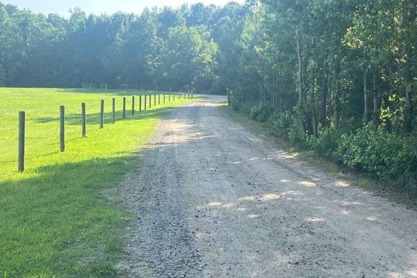
Strawberry Mountain - Forest Road 260
This out-and-back trail, typical of those in the Chattahoochee National Forest, follows a mostly gravel road with occasional dirt and muddy sections. While generally maintained, drivers should be prepared for occasional ruts and minor washouts. The route alternates between two-lane and single-lane s...
Learn more about Strawberry Mountain - Forest Road 260
Beginner ATV trails near Adairsville, Georgia
Explore ATV-friendly trails near you. These trails are accessible for vehicles up to 50 inches wide, perfect for ATVs and smaller off-road machines.
3 - Peeples Lake
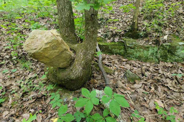
Peeple's Lake begins in the heart of the city of Chatsworth. It is a dirt trail from beginning to the end, starting inside of a small residential area, and ending in the parking area of Rock Creek OHV trail (Less than 50" trails). The trail has heavy traffic with other vehicles pulling trailers, so ...
Learn more about 3 - Peeples Lake
181-I Spur
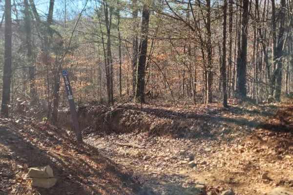
Trail 181-I Spur is a spur coming off 181-I. It is another hidden jewel, a lot like 181-I, but at this time, it is missing its marker. It runs from 181-I to 181-H and has some small hills, tight turns, and a little bit of mud to be enjoyed.
Learn more about 181-I Spur
181-I
Trail 181-I is a treat that is often overlooked. It's easy to just zip right by this one since it's just off the smooth section of 181-H on both ends. There is an intersection that branches off mid-way that also connects to 181-H, but as of now, there is no number on it.
Learn more about 181-I
181-K
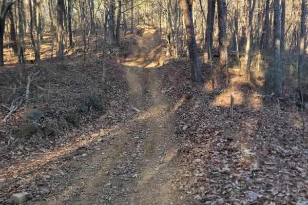
This is a short connector trail that can save a lot of time if needed to cut across or avoid certain obstacles. It has some nice steep uphills/downhills that are sure to please. This one is like 181-I and is easily forgotten about or missed as you're screaming past, especially in the "green months"....
Learn more about 181-K
Beginner UTV/side-by-side trails near Adairsville, Georgia
Find UTV and side-by-side trails near you. These trails accommodate vehicles up to 60 inches wide, ideal for UTVs, side-by-sides, and wider off-road rigs.
3 - Peeples Lake
Peeple's Lake begins in the heart of the city of Chatsworth. It is a dirt trail from beginning to the end, starting inside of a small residential area, and ending in the parking area of Rock Creek OHV trail (Less than 50" trails). The trail has heavy traffic with other vehicles pulling trailers, so ...
Learn more about 3 - Peeples Lake
Pigeon Mountain
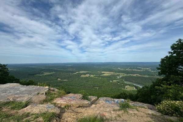
The trail transitions from pavement to mostly gravel and some dirt. There are no challenging obstacles and multiple possible routes within the trail system. There's an overlook at mile 3.4 (just past the paved section) and an offshoot at mile 5 that is a dead-end dirt trail. It's a bit rougher than ...
Learn more about Pigeon Mountain
631- Tatum Lead
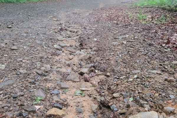
Tatum Lead Road begins in the Northern end of the Chattahoochee National Forest. The access road is given right of way through private property. It starts out on Georgia's scenic byway on Highway 52. There is an abundance of signs on the private property with no trespassing and no parking signs. The...
Learn more about 631- Tatum Lead
9
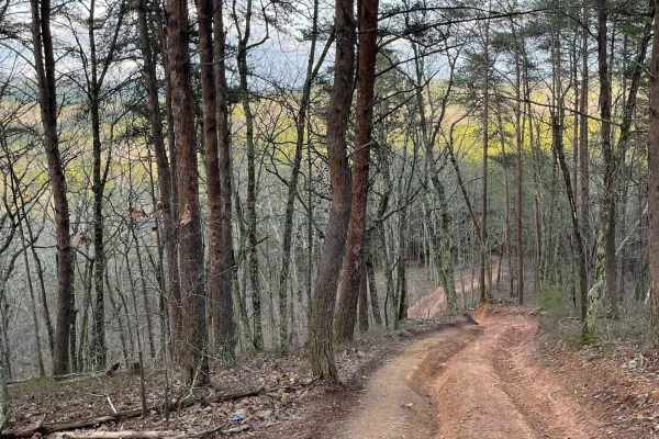
Trail 9 is an easy trail that will connect you to trails 16, 11, and 10. Only two-wheel drive is needed. It goes right past the famous Foxes Hollow trail, which can be a challenge at times. It's often a hangout at nighttime. This is a fun and easy connector trail for most.
Learn more about 9
The onX Offroad Difference
onX Offroad combines trail photos, descriptions, difficulty ratings, width restrictions, seasonality, and more in a user-friendly interface. Available on all devices, with offline access and full compatibility with CarPlay and Android Auto. Discover what you're missing today!
Open Trail Map