

Free 1-Month onX Hunt Elite Membership
Nationwide Landownership maps, Canada hunting maps, Exclusive deals and expert resources. Normally $99.99/yr.
Go all-in for Hunt.
Want to skip the one-month trial and sign up for a full year of the #1 hunting GPS app? For a limited time, Pennsylvania Hunters can take 20% off onX Hunt, and a portion of your purchase will be donated back to the Pennsylvania Game Commission to support the future of Pennsylvania wildlife and conservation.
The Most Powerful 3D Mapping Solution
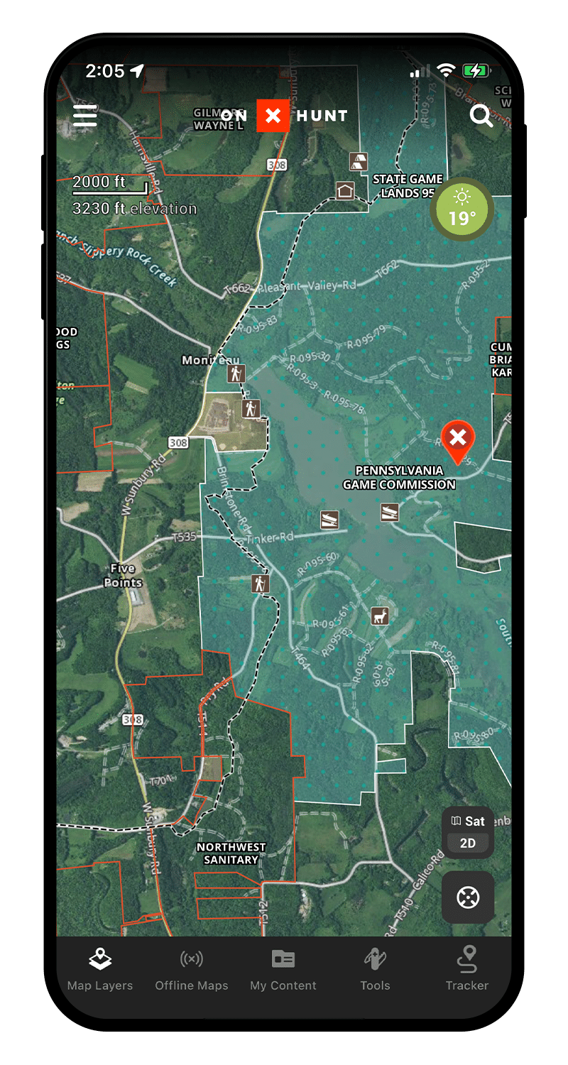
Below is an interactive map sample. Activate your Membership to gain full functionality.
Key Features
Use these features to find more success from the whitetail woods to the mountains of the West.

Nationwide Public & Private Land Boundaries
Color-coded public and private land ownership boundaries allow you to easily find your own property, public ground, and land ownership information including names and tax addresses. Learn More
Track Your Hunt
onX Hunt uses your phone’s built-in GPS technology to display your location with a blue dot. Use the Tracker to record your exact route to make navigation easy as well as help you recall the details of each hunt’s location. Learn More

Custom Map Tools
Customizable Waypoints, Lines, and Tracks will help you recall every detail of a scouting or hunting session. Whether you’re marking a roosted gobbler, measuring the distance between you and a gobbling bird’s location to determine your next move, or tracking every step of your hunt, the onX Hunt App has tools for every Turkey Hunt. Learn More
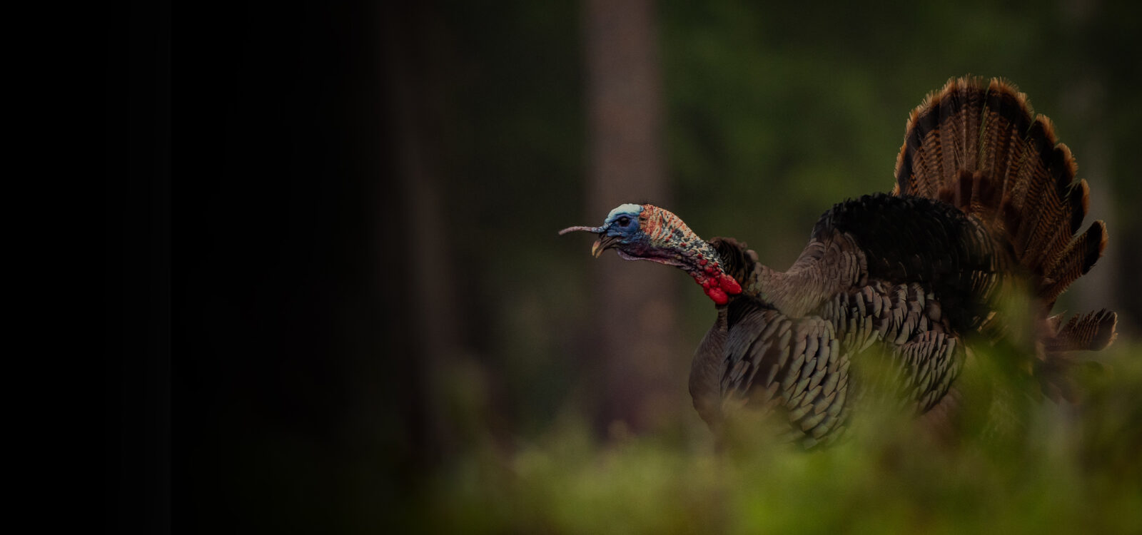
Find Turkey Habitat
Use hunt-specific layers such as Acorn Producing Oaks, Coniferous vs. Deciduous Tree Distribution, and Crop Data to locate prime turkey habitat. Learn More
Satellite, Topo, and Hybrid Basemaps
Understand the lay of the land like never before with the Hybrid Basemap, a combination of satellite imagery and a 1:24k topographic map. Learn More

Offline Maps
No service needed. Save detailed maps of the property you hunt to ensure you always have the tools you need at your fingertips. Learn More
The Benefits of onX Hunt Elite
onX Hunt Elite is the full solution to help you master your pursuit. In addition to maps for all 50 states, Elite Members have access to exclusive services and benefits from leading hunting brands.
- Elite includes nationwide onX Hunt coverage, including land ownership maps and state-specific layers for all 50 states. Hunt App usage in Canada provides access to the full suite of features with the exception of private land ownership data.
- Enjoy exclusive pro deals and services from WoodHaven, Ol’ Tom, Vortex Optics, Mossy Oak, Lacrosse, Rob Roberts and many others.
- Hundreds of dollars of value—in one Elite Membership.
App Reviews
Highly recommend this
I hunt on mostly public land and trying to figure out what’s where was really hard before I got this app. I absolutely love this app. I’m using it to track whitetail deer all over the Berkshire mountains. The ability to …
Read more
I hunt on mostly public land and trying to figure out what’s where was really hard before I got this app. I absolutely love this app. I’m using it to track whitetail deer all over the Berkshire mountains. The ability to add waypoints for tracks, scat, rubs, scraps, etc, add photos of what you saw to those waypoints, brief descriptions, etc. It’s just been amazing. Before this I was using Google Maps, and 2 different state websites to look for public and private land boundaries. Impossible to manage. Now it’s all in 1 spot. While hunting I can easily pull up the map and see if I’m legal or not. By far the best $30 I’ve spent in a long time. Highly recommend this especially if you’re unsure of boundaries or you want to detail where all the signs are. You can even attach trailcam pics to the waypoints by using the online version and it’ll sync with your phone. I don’t normally leave reviews but this app…..friggin awesome. As someone else noted before…better access to the Legends would be the 1 area to fix. Also legends for all layers. Some are not listed. Ability to adjust transparency would also be nice. Otherwise….love it.
Love the app
I have been using OnX maps for a few years now. It has helped me stay on private property for hunts. Tracking worked perfectly as needed. Was able to find boundaries and not fear I was in a wrong location. I needed help …
Read more
I have been using OnX maps for a few years now. It has helped me stay on private property for hunts. Tracking worked perfectly as needed. Was able to find boundaries and not fear I was in a wrong location. I needed help changing states, prompt response from support made the whole process easy. Love the app.
Excellent technical support
Great app. I hunt all over in places I’m not necessarily familiar with. Having property lines and “where not to go past” is extremely important. This app helps us respectfully abide rules, regulations, access areas, etc.…
Read more
Great app. I hunt all over in places I’m not necessarily familiar with. Having property lines and “where not to go past” is extremely important. This app helps us respectfully abide rules, regulations, access areas, etc. Customer service is fast and courteous, whenever I’ve had a question. Love it. It has become an important piece of gear.
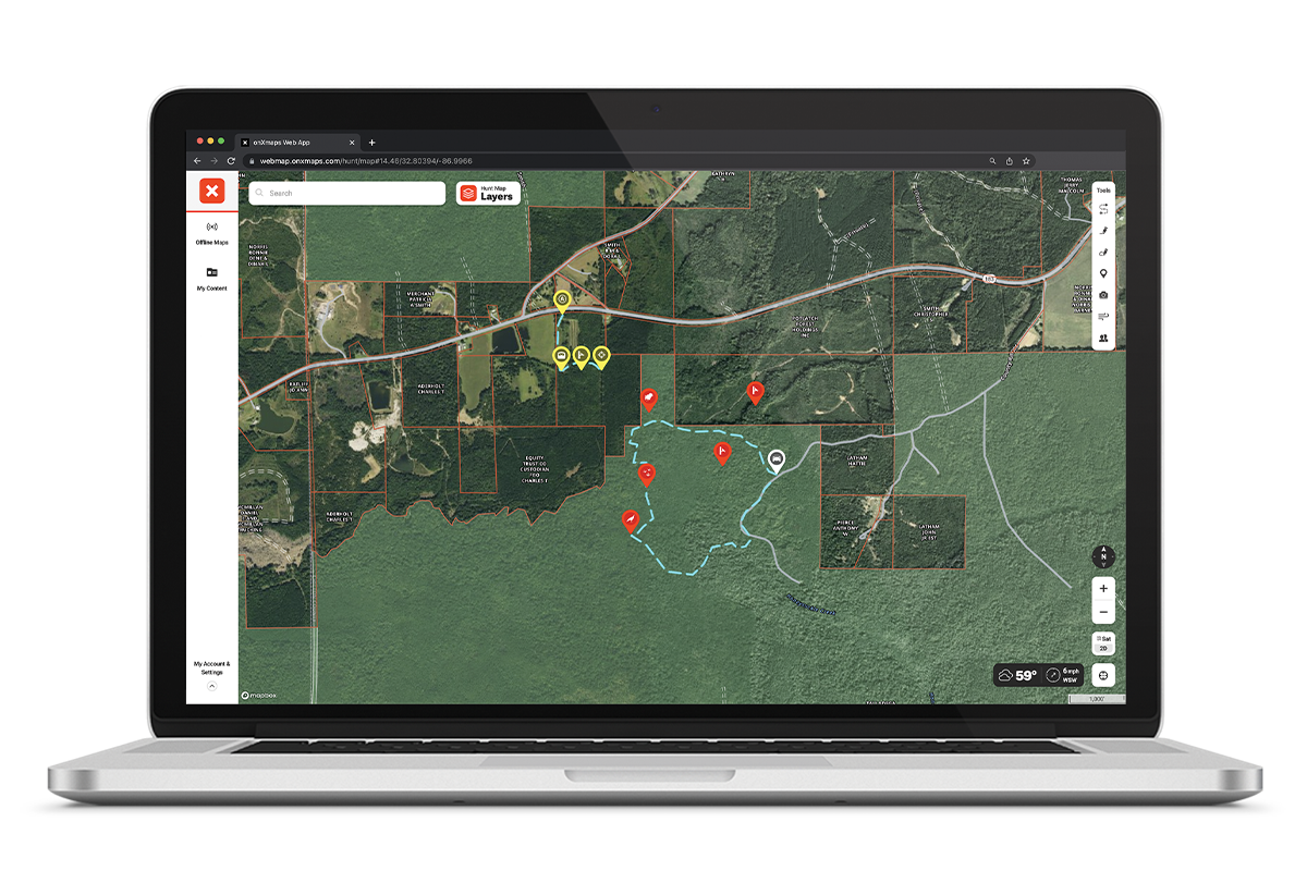
Plan and Scout From the Comfort of Home
Use onX Hunt on desktop for bigger view of the maps you’ve created. Scout new land and plan your next hunt.
- All your saved markups sync automatically to all devices for use on the futon or in the field.
- onX Hunt compatible with Android, iOS, Mac, and PC.


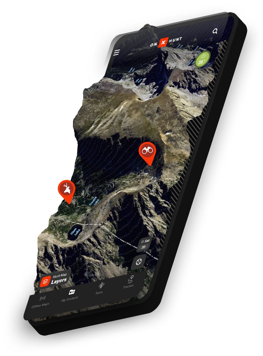
3D Hunting Maps
Understand the land—scout in 3D before you lace up a boot.
A Powerful E-Scouting Tool
Combined with features like Hybrid Basemap, viewing 3D Maps gives you the tools to understand how animals move across the landscape—and where you need to be to cross their paths.
Big Screen or Small
Available in Web Map and Mobile, 3D provides a unique way to experience the landscape on screen. Whether reliving a past hunt by viewing previous markups or planning the next one, 3D on multiple devices can change the way you hunt.