Ready to explore this trail?
View Trail Map in AppPath Type
Point to Point
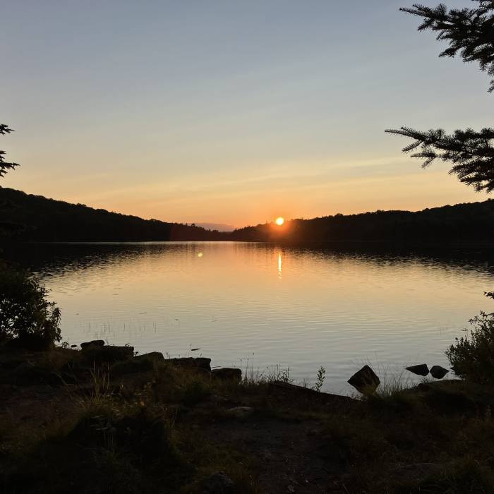
This section of The Long Trail begins from the parking area on Kelley Stand Road and climbs up to Stratton Mountain. It was here, atop Stratton Mountain, that James P. Taylor conceived the idea of a trail that extends across the entire length of Vermont. The trail turns westward, towards Stratton Pond. There is a small fee if you intend to stay at the shelter, here.
In a short distance from here, the trail enters the Lye Brook Wilderness. It travels moderately until it reaches the northern edge of the wilderness. Half a mile along the Branch Pond Trail will take you William B. Douglas Shelter.
The trail follows Old Rootville Road until you reach the view at Prospect Rock. From here, the trail takes a right turn to climb up to Spruce Peak Shelter. Though it's listed as a shelter, this is a 4-sided cabin.
In a short distance north, there's a small spur that climbs to the summit of Spruce Peak. It mostly follows the ridgeline, until it descends down to the parking area at Route 11. The trail climbs up to Bromley Shelter, before reaching the summit of Bromley Mountain.
From Bromley Mountain, the trail traverses the ridge, then descends to Mad Tom Notch.
No Condition Reports
Contributors

