Near Canal Trail

Looking for more photos?

View All Photos
View Map
Driving Directions
Hike Trail

Canal Trail

3.0 (1 Rating)
1.2
mi
Distance
268
ft
Gain
moderate
Difficulty
BirdingViewsWildflowersWildlife

Route Details

Flatter
Steeper
1.17mi
Distance
268ft
Elevation Gain
85ft
Elevation Loss
15%
Max Grade
1,074ft
High Point
810ft
Low Point
Path Type
Point to Point
Description
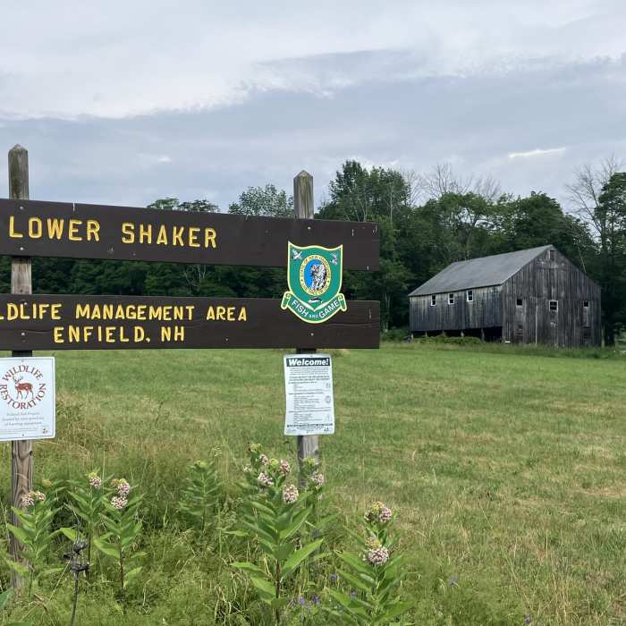
Despite being called the Canal Trail, it doesn't actually follow the route of the hand-dug canal. This trail starts from the end of the road, near the Stone Machine Shop (c. 1850). It enters the woods and passes a gate, at the edge of the Lower Shaker Wildlife Management Area. It follows an unmaintained road through the fields and back into the woods. Here, the trail becomes more challenging because it traverses through a slash road. Eventually, the trail reaches the Main Access Trail.

Route Conditions

Report Conditions
No Condition Reports
Report Conditions

Nearby Hike Routes

Cole, Butternut and Anderson Pond Loop

Hike Route

Cole, Butternut and Anderson Pond Loop

moderate
7.97 mi
+1,008 ft
Hyoertherm Loop via Rix Ledges

Hike Route

Hyoertherm Loop via Rix Ledges

moderate
5 mi
+1,086 ft
Moose Mountain Trail

Hike Route

Moose Mountain Trail

Birding
moderate
4.04 mi
+1,080 ft
Greensboro Ridge Loop

Hike Route

Greensboro Ridge Loop

easy
1.32 mi
+338 ft
French's Ledges Outer Loop

Hike Route

French's Ledges Outer Loop

moderate
6.6 mi
+872 ft
John's Glen Loops

Hike Route

John's Glen Loops

easy
3.67 mi
+172 ft
Contributors
David Smith
