Ready to explore this trail?
View Trail Map in AppPath Type
Point to Point
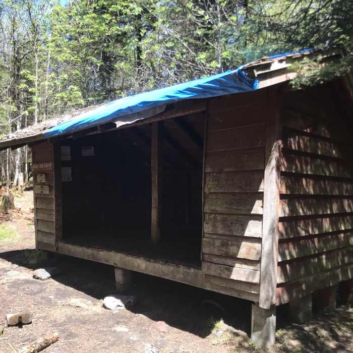
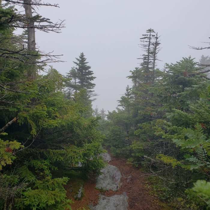
This section of the Long Trail starts from Route 73, at Brandon Gap. In a short distance, the trail crosses into the Joseph Battell Wilderness. It climbs up to the Great Cliff Spur, which can be closed during the Peregrine Falcon season. The trail continues over Mount Horrid, Cape Lookoff Mountain, and Gillespie Peak. A short detour onto Sucker Brook Trail will take you to the shelter.
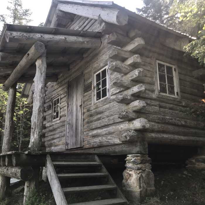
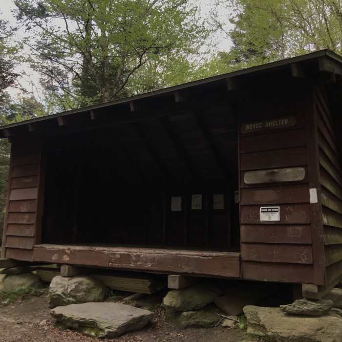
The trail travels over Worth Mountain and eventually exits the Joseph Battell Wilderness. It comes out to a ski area, where it weaves its way through. When you reach Route 125, at Middlebury Gap, you can stay on the Long Trail or take the North Country Trail. Continuing on the Long Trail will take you into the Breadloaf Wilderness. At the height of the hill, there's a short spur to the views at Silent Cliffs. The trail climbs over Burnt Hill to arrive at Boyce Shelter. It continues over Boyce Mountain and Battell Mountain, before arriving at the Skyline Lodge Spur. Skyline Lodge is a 4-sided cabin, overlooking Skylight Pond. Though you can get your water from the pond, it's probably safer to get the water from the small spring slightly north of the shelter.
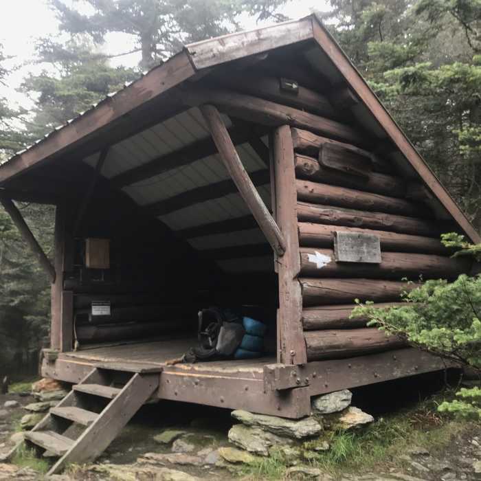
The trail climbs up to Bread Loaf Mountain and takes a sharp right turn. It descends, then climbs up to Emily Proctor Shelter.
It climbs over Mount Wilson, Mount Roosevelt and Mount Cleveland before reaching Cooley Glen Shelter.
No Condition Reports
Contributors

