Ready to explore this trail?
View Trail Map in AppPath Type
Point to Point
This trail begins at the boardwalk at the south end of Parker Lake. As it follows the boardwalk it zigzags over a shallow marsh. While it is bowed and in need of small repairs, it is a nice place to hike. Here is an opportunity to view the various wildlife alive in the lake including salamanders and small fish.
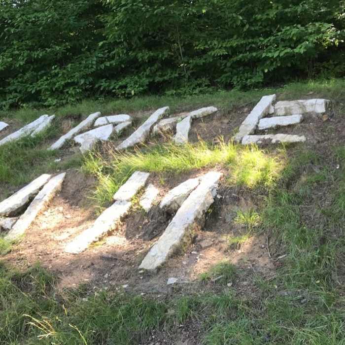
After leaving the boardwalk, the trail transitions into a nice dirt path along the lake. When I did this trail, as we made this transition a bald eagle leaped from the branches above us and soared over the lake. As it continues, there is a pine grove where the path widens to include a small group of rock formations. As the trail curves at the north end of the lake, it passes rocks that have been laid out to spell "Parker Dam" on the ground.
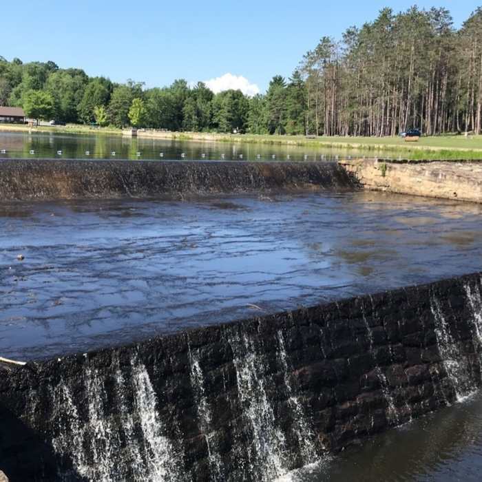
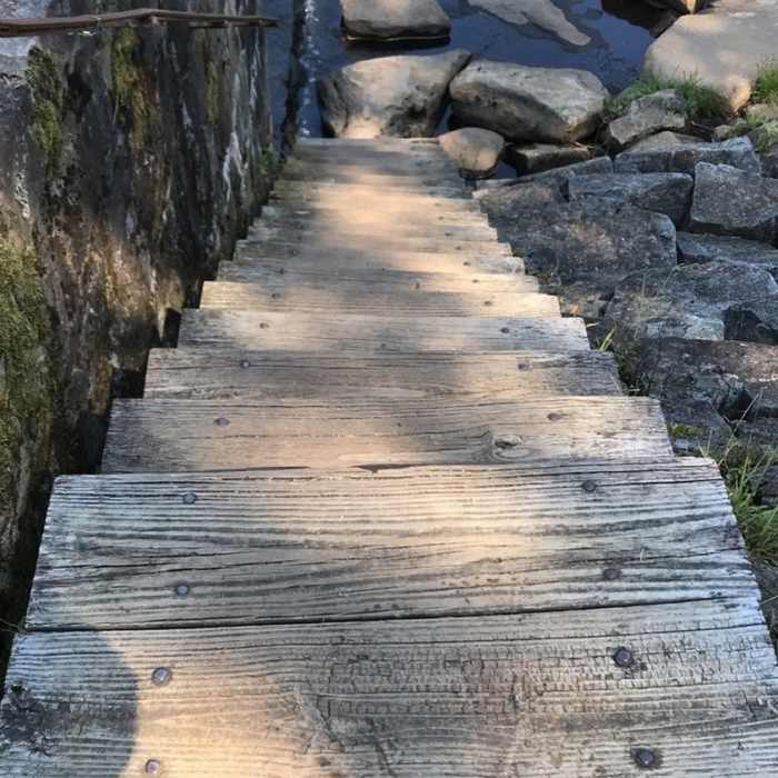
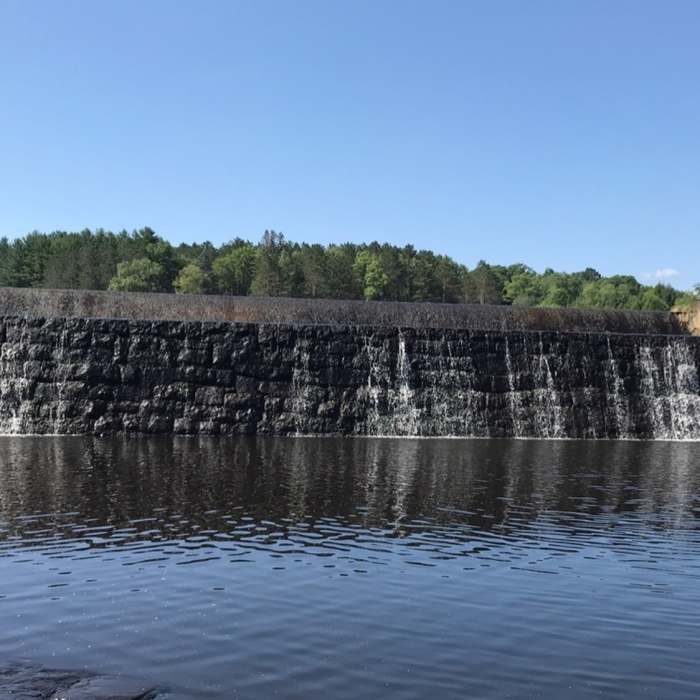
The trail then continues over the berm of the mostly earthen, CCC-era dam. To the right, just in the lake is a structure that supports a bat box. Next, the trail comes to the part of the dam over which Laurel Run flows. This part of the dam is fairly ingenious as instead of a traditional bridge, a large area of steppingstones has been placed to accommodate for the movement of both visitors and the stream. The trail crosses these stones and climbs up stairs on the other side of the dam.
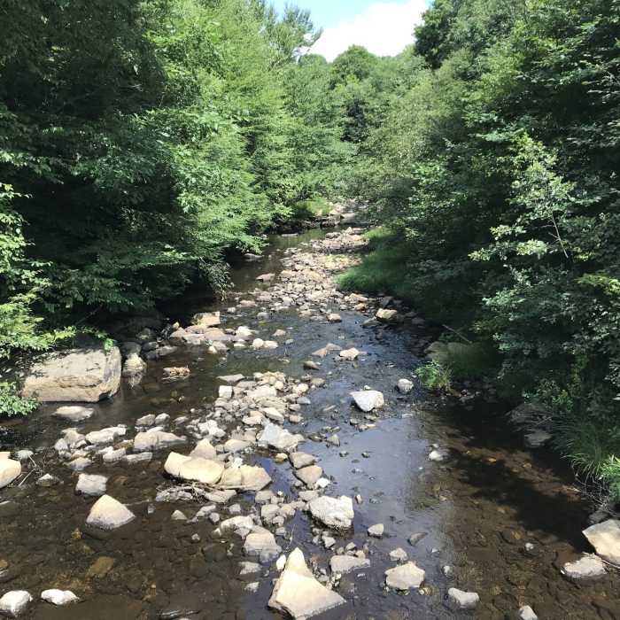
After the dam, the trail ventures into a more wooded section of the park. This is the first time where the yellow blazes that mark the trail are both visible and necessary. The rest of the trail continues fairly flat and near the river, though there are some places that are overgrown and muddy. This is a generally pleasant second half of the trail. The terminus of the trail is the bridge that crosses over Laurel Run.
No Condition Reports
Contributors

