Ready to explore this trail?
View Trail Map in AppRegional Classic
A must do route for the area handpicked by local experts.
Access is via active private logging roads requiring a high-clearance vehicle. Yield to logging trucks.
Permits and fees are not required to park or hike.
Path Type
There and Back
The route begins and ends at the Boundary Bald Mountain Trailhead parking area off of Notch Road, after reaching the summit of Boundary Bald Mountain.
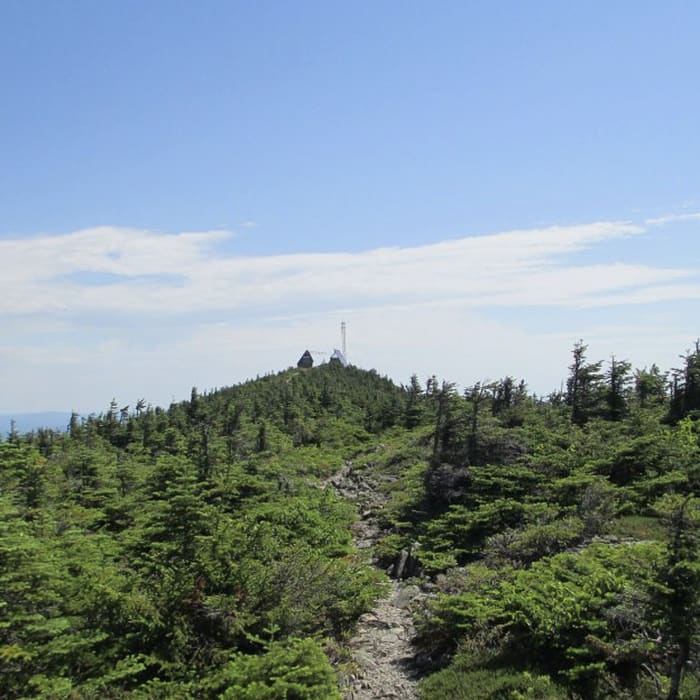
From the parking area, follow the logging road to the east as it immediately enters a dense mixed-hardwood forest. Climb gently for the first mile, where the vegetation starts to transition into a spruce-fir forest.
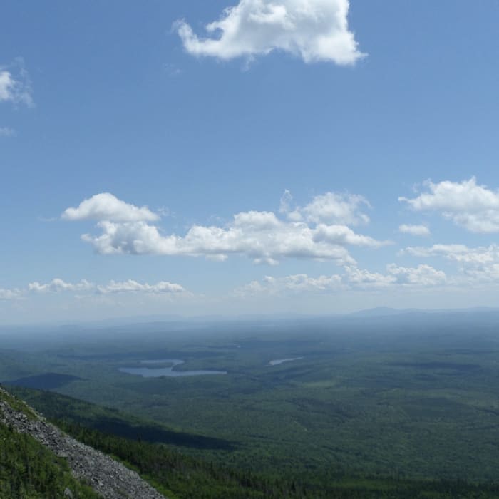
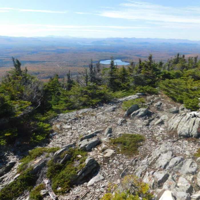
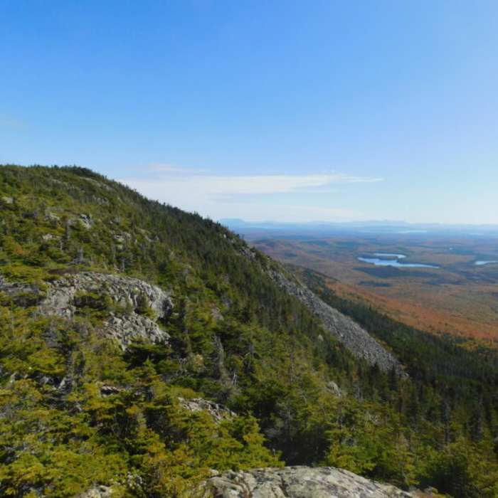
At 1.4 miles, turn left onto a blazed footpath and begin climbing the trail along the side of Boundary Bald Mountain. The ascent becomes significantly steeper, and the footbed turns increasingly rocky and uneven. Navigate up the rocky corridor and at 2.2 miles, emerge onto the open, windswept summit ridge. Follow the exposed ledges to the high point of Boundary Bald Mountain at 3,638 feet, which offers unobstructed views of the surrounding wilderness.
Retrace your steps back to the trailhead.
No Condition Reports
Coburn Mountain
Coburn Mountain
Big Moose Mountain Trail
Big Moose Mountain Trail
Snow Mountain
Snow Mountain
Big Spencer Mountain
Big Spencer Mountain
Baker Mountain
Baker Mountain
Moxie Mountain via West Trail
Moxie Mountain via West Trail
Contributors

