Ready to explore this trail?
View Trail Map in AppReached via long, bumpy logging roads that can be driven by a low-clearance car with care; a high-clearance vehicle is more comfortable. Cell service is minimal near the trailhead.
Path Type
There and Back
This route starts and ends at a parking area on a logging road off Carney Brook Road.
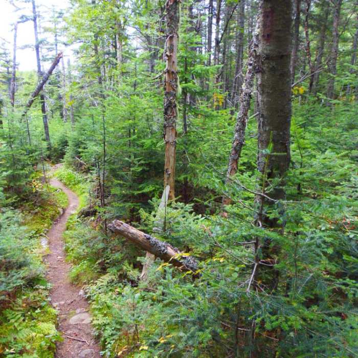
From the parking area, walk 0.4 mile up the logging road to a signed cairn marking the start of the footpath. The first 0.3 mile climbs steeply, then levels out onto a ridge covered in fir and spruce forest, with red tags and ribbons marking the way. At about 1.5 miles from the start of the footpath, the trail opens onto a sandy, gravel-covered shelf; a short spur signed "Outlook" leads to open ledges with wide views.
Continue past a small stone cairn to the junction with the South Trail; turn left for the final 0.3 mile to the summit, moderately steep with some rock scrambling, including one short section that dips down an eroded bank before climbing again.
Retrace the same trail and logging road back to the parking area for a round trip of about 3.5 miles, gaining roughly 1,683 vertical feet.
No Condition Reports
Moxie Mountain via South Trail
Moxie Mountain via South Trail
Coburn Mountain
Coburn Mountain
Fire Warden's and Horns Pond Trail Loop
Fire Warden's and Horns Pond Trail Loop
Big Moose Mountain Trail
Big Moose Mountain Trail
Appalachian Trail - Bigelow Preserve
Appalachian Trail - Bigelow Preserve
Sugarloaf Mountain via Appalachian Trail
Sugarloaf Mountain via Appalachian Trail
Contributors

