Ready to explore this trail?
View Trail Map in AppRegional Classic
A must do route for the area handpicked by local experts.
No permit required. The ford of the South Branch Carrabassett River at 0.1 mile can be dangerous at high water. Caribou Pond Road crosses private timberland, and is not well maintained and slow going – high clearence, 4WD vehicles are required.
Path Type
There and Back
This route starts and ends at the Appalachian Trailhead on Caribou Pond Road, climbing to Sugarloaf Mountain's summit and returning by the same trail.
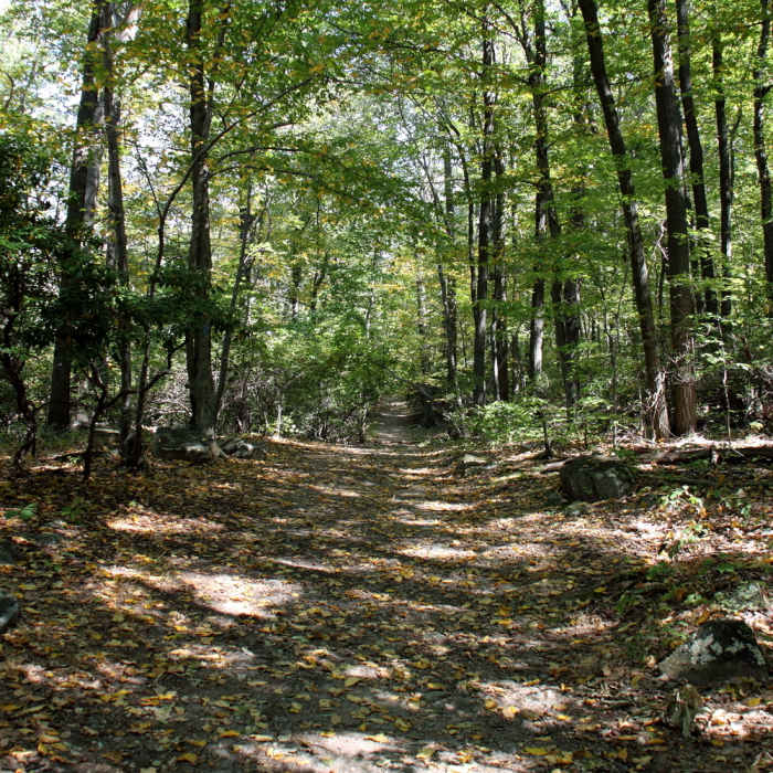
From the trailhead, follow the Appalachian Trail south, fording the South Branch of the Carrabassett River after 0.1 mile — a crossing that can be hazardous at high water. The trail climbs steadily, then steepens into a rocky, root-laced section that gains roughly 800 vertical feet over the next 0.75 mile before the grade eases again.
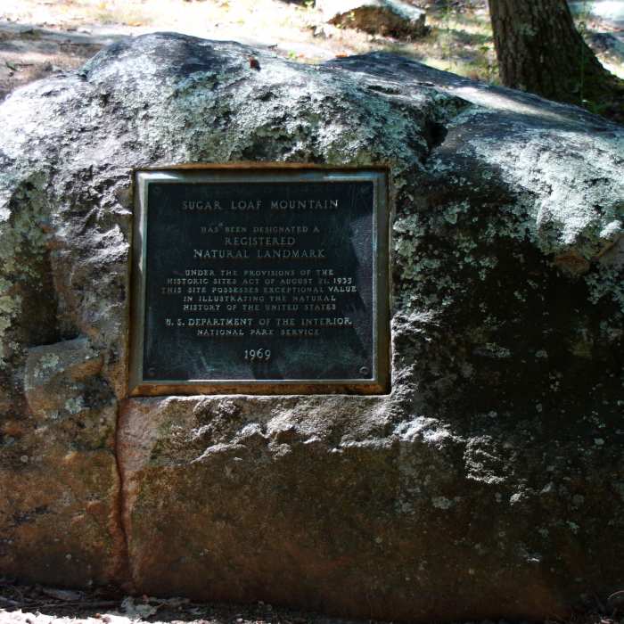
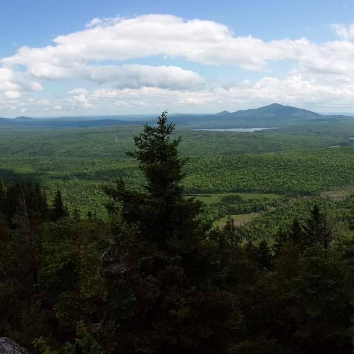
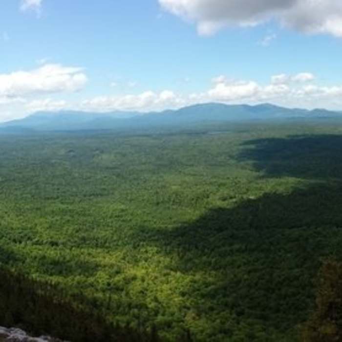
At 2 miles, turn left onto the blue-blazed Sugarloaf Mountain side trail, which climbs 0.6 mile and about 600 vertical feet to the open summit, passing through stunted subalpine spruce near the top. The summit offers 360-degree views of the Bigelow Range, the Crocker and Redington peaks, and the Sugarloaf ski resort's lift network below.
Retrace the same trail to return; the steep, rocky section below the side-trail junction demands careful footing on the way down.
No Condition Reports
Sugarloaf and Spaulding via Appalachian Trail
Sugarloaf and Spaulding via Appalachian Trail
Appalachian Trail - Bigelow Preserve
Appalachian Trail - Bigelow Preserve
Fire Warden's and Horns Pond Trail Loop
Fire Warden's and Horns Pond Trail Loop
Saddleback Mountain via Berry Picker's Trail
Saddleback Mountain via Berry Picker's Trail
Saddleback Mountain via Ski Lodge
Saddleback Mountain via Ski Lodge
Saddleback Mountain and The Horn via Appalachian Trail
Saddleback Mountain and The Horn via Appalachian Trail
Contributors

