Ready to explore this trail?
View Trail Map in AppNo permit required. The ford of the South Branch Carrabassett River at 0.1 mile can be dangerous at high water. Caribou Pond Road crosses private timberland, and is rough and slow going – high clearance, 4WD vehicles are highly reccomended.
Path Type
There and Back
This route starts and ends at the Appalachian Trailhead on Caribou Pond Road, reaching Spaulding Mountain's summit first, then summiting Sugarloaf Mountain on the return.
From the trailhead, follow the Appalachian Trail south, fording the South Branch of the Carrabassett River after 0.1 mile. At 2 miles, pass the junction with the blue-blazed Sugarloaf Mountain side trail on the left without turning, continuing on the Appalachian Trail.
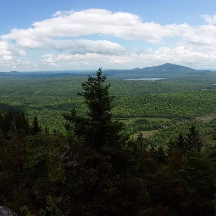
Climb 2 more miles to a junction with Spaulding Mountain's 0.1-mile side trail, then follow it to Spaulding's wooded, viewless summit at 4.1 miles. Retrace the Appalachian Trail 2.2 miles back to the Sugarloaf side-trail junction, then turn right (west) onto the blue-blazed side trail and climb 0.6 mile and about 600 vertical feet to Sugarloaf's open summit, with 360-degree views over the Bigelow Range and the Sugarloaf ski resort.
Descend the same side trail 0.6 mile back to the Appalachian Trail, then continue 2 miles back to the trailhead. The full route covers approximately 9.2 miles round trip with an estimated 3,435 vertical feet of cumulative elevation gain.
No Condition Reports
Sugarloaf Mountain via Appalachian Trail
Sugarloaf Mountain via Appalachian Trail
Appalachian Trail - Bigelow Preserve
Appalachian Trail - Bigelow Preserve
Fire Warden's and Horns Pond Trail Loop
Fire Warden's and Horns Pond Trail Loop
Saddleback Mountain via Berry Picker's Trail
Saddleback Mountain via Berry Picker's Trail
Saddleback Mountain via Ski Lodge
Saddleback Mountain via Ski Lodge
Saddleback Mountain and The Horn via Appalachian Trail
Saddleback Mountain and The Horn via Appalachian Trail
Contributors

