Ready to explore this trail?
View Trail Map in AppRegional Classic
A must do route for the area handpicked by local experts.
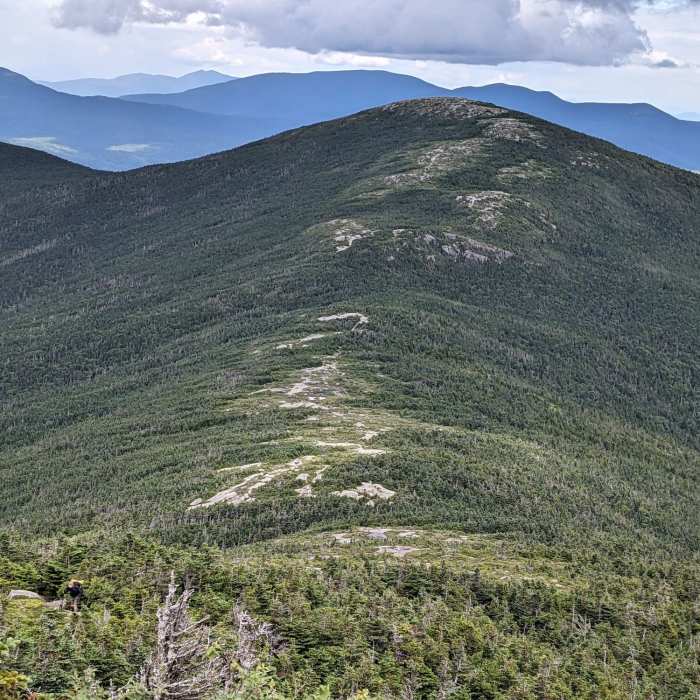
No permit required. The alpine ridge between the two summits is fully exposed with no cover from wind, lightning, or sudden weather changes.
Path Type
There and Back
This route starts and ends at the Appalachian Trailhead on Route 4, reaching Saddleback Mountain and The Horn via the Appalachian Trail.
From the trailhead, follow the Appalachian Trail north, climbing gently to a short side trail at 1.6 miles leading 0.2 mile to Piazza Rock, an overhanging boulder slab with a lean-to shelter nearby. Continue on the Appalachian Trail to Ethel Pond, a small pond in a bowl surrounded by ridges, passing along its west shore, then through a small bog past Mud Pond and the east shore of Eddy Pond, the last reliable water source before the climb.
Beyond Eddy Pond, one short steep pitch through pine forest leads up to Saddleback's scrubby lower slopes; climb steadily onto the open ridge to Saddleback Mountain's summit at 5 miles, with about 2,520 vertical feet of gain to this point. Continue north along the exposed alpine ridge 1.5 miles to The Horn's rocky summit at 6.5 miles, with a total of about 3,055 vertical feet of cumulative gain.
The full round trip covers approximately 13.1 miles. Retrace the same trail to return; the alpine ridge between the two summits offers no cover from wind or weather.
No Condition Reports
Saddleback Mountain via Ski Lodge
Saddleback Mountain via Ski Lodge
Saddleback Mountain via Berry Picker's Trail
Saddleback Mountain via Berry Picker's Trail
Tumbledown Mountain Out and Back
Tumbledown Mountain Out and Back
Sugarloaf Mountain via Appalachian Trail
Sugarloaf Mountain via Appalachian Trail
Sugarloaf and Spaulding via Appalachian Trail
Sugarloaf and Spaulding via Appalachian Trail
Mount Blue
Mount Blue
Contributors

