Ready to explore this trail?
View Trail Map in AppNo permit required. Grey Ghost is the steepest and most direct approach to Saddleback's summit; the upper mountain is fully exposed above treeline with no cover from wind or lightning. Trail and resort access may depend on the ski resort's operating season.
Path Type
Loop
This route starts and ends at the Saddleback ski resort base lodge, climbing the mountain's steeper ski trails and descending its longer, more gradual ones to reach Saddleback Mountain.
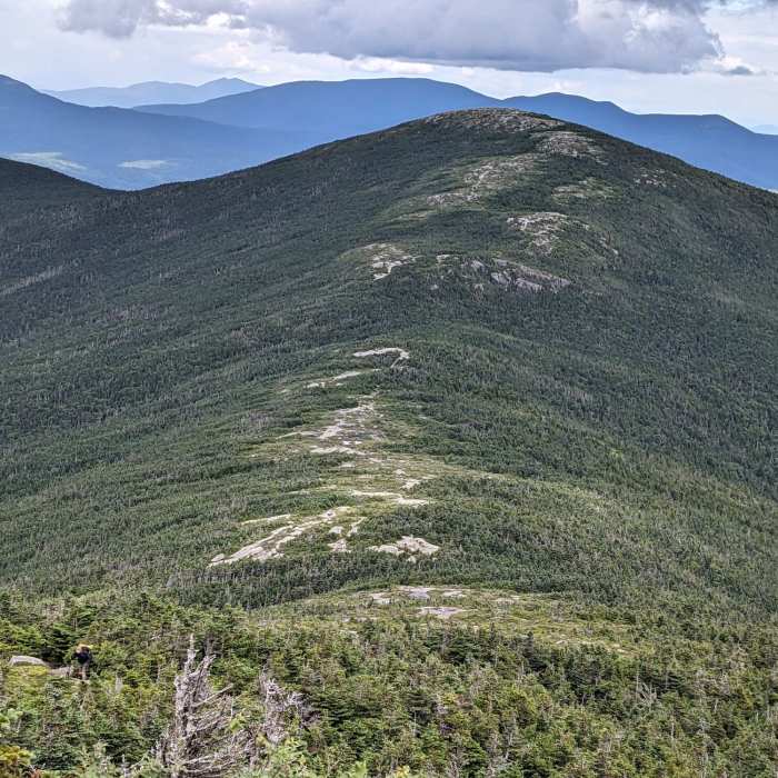
From the lodge, follow Wheeler Slope, then Grey Ghost — a groomed, three-pitch intermediate run — and Tri-Color, climbing about 1.5 miles to a junction with the Appalachian Trail near the summit ridge. Turn onto the Appalachian Trail and continue a short distance to Saddleback Mountain's open, ledgy summit.
From the summit, retrace your steps to the junction with the Appalachian Trail. Take a right here, passing a small pond and shortly after, reaching the top of the quad lift. At this junction, turn left onto America Trail, then the Upper Hudson Highway Trail and the Lower Hudson Highway Trail — the resort's longest run, at 1.86 miles — back to the lodge. The full loop covers approximately 4.4 miles with about 1,700 vertical feet of cumulative elevation gain.
Hikers can also reverse this route, ascending via Hudson Highway and the America Trail and descending Grey Ghost, or skip the loop and go up and down the same trail: Grey Ghost for the shorter, steeper option, or Hudson Highway and the America Trail for the longer, more gradual one.
No Condition Reports
Saddleback Mountain via Berry Picker's Trail
Saddleback Mountain via Berry Picker's Trail
Saddleback Mountain and The Horn via Appalachian Trail
Saddleback Mountain and The Horn via Appalachian Trail
Sugarloaf Mountain via Appalachian Trail
Sugarloaf Mountain via Appalachian Trail
Sugarloaf and Spaulding via Appalachian Trail
Sugarloaf and Spaulding via Appalachian Trail
Appalachian Trail - Bigelow Preserve
Appalachian Trail - Bigelow Preserve
Fire Warden's and Horns Pond Trail Loop
Fire Warden's and Horns Pond Trail Loop
Contributors

