Ready to explore this trail?
View Trail Map in AppNo permits are required for day use or camping.
Path Type
Point to Point
This point-to-point route begins at the Route 27 Appalachian Trail Crossing Trailhead on Maine State Route 27, south of Stratton, and ends at the Little Bigelow Trailhead on East Flagstaff Road.
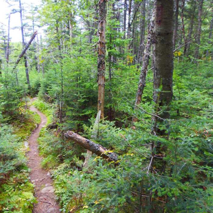
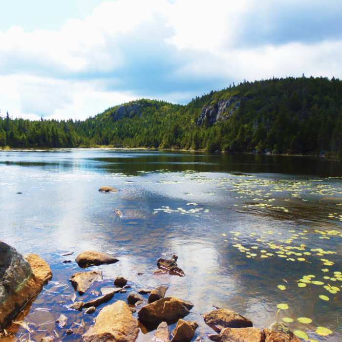
From the Route 27 parking area, head east on the white-blazed Appalachian Trail. Cross over Stratton Brook Pond Road at 0.8 miles. Climb steadily through mixed hardwood forest, passing the junction for the Cranberry Stream Campsite around 2.1 miles. At 3.0 miles, turn right continue climbing along the ridge to reach Horns Pond and the Horns Pond Lean-tos at 4.6 miles.
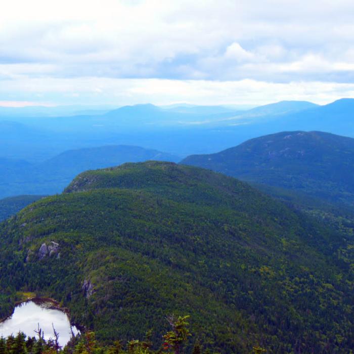
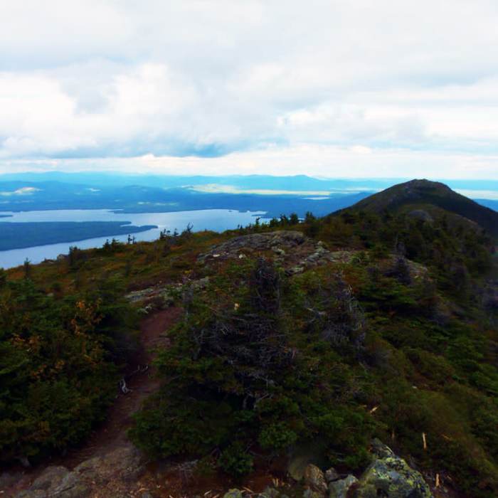
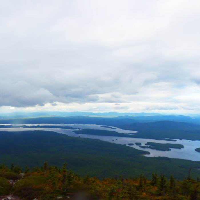
From the pond, climb steeply to the summit of South Horn at 5.0 miles, then follow the rugged, exposed ridge line to the West Peak of Bigelow Mountain at 6.9 miles. West Peak stands at 4,145 feet and offers unobstructed 360-degree views. Descend into Bigelow Col at 7.2 miles, passing the tentsite, and then climb 0.2 miles to the summit of Avery Peak at 7.6 miles, which is marked by the stone foundation of an old fire tower.
From Avery Peak, descend steeply east into Safford Notch, reaching the junction with Safford Brook Trail at 9.3 miles. Continue straight on the Appalachian Trail to cross the long ridge of Little Bigelow Mountain at 11.2 miles. After crossing the summit of Little Bigelow, descend past the Little Bigelow Lean-to at 13.8 miles and complete the route at the East Flagstaff Road trailhead.
No Condition Reports
Fire Warden's and Horns Pond Trail Loop
Fire Warden's and Horns Pond Trail Loop
Sugarloaf Mountain via Appalachian Trail
Sugarloaf Mountain via Appalachian Trail
Sugarloaf and Spaulding via Appalachian Trail
Sugarloaf and Spaulding via Appalachian Trail
Saddleback Mountain via Berry Picker's Trail
Saddleback Mountain via Berry Picker's Trail
Saddleback Mountain via Ski Lodge
Saddleback Mountain via Ski Lodge
Saddleback Mountain and The Horn via Appalachian Trail
Saddleback Mountain and The Horn via Appalachian Trail
Contributors

