Trail Overview
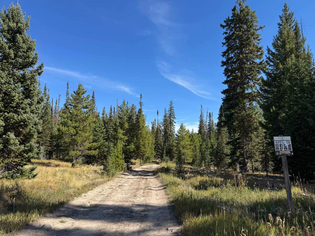
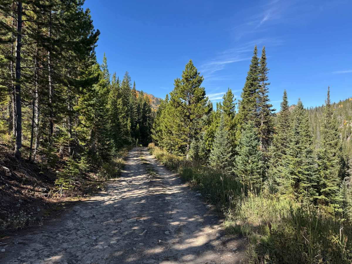
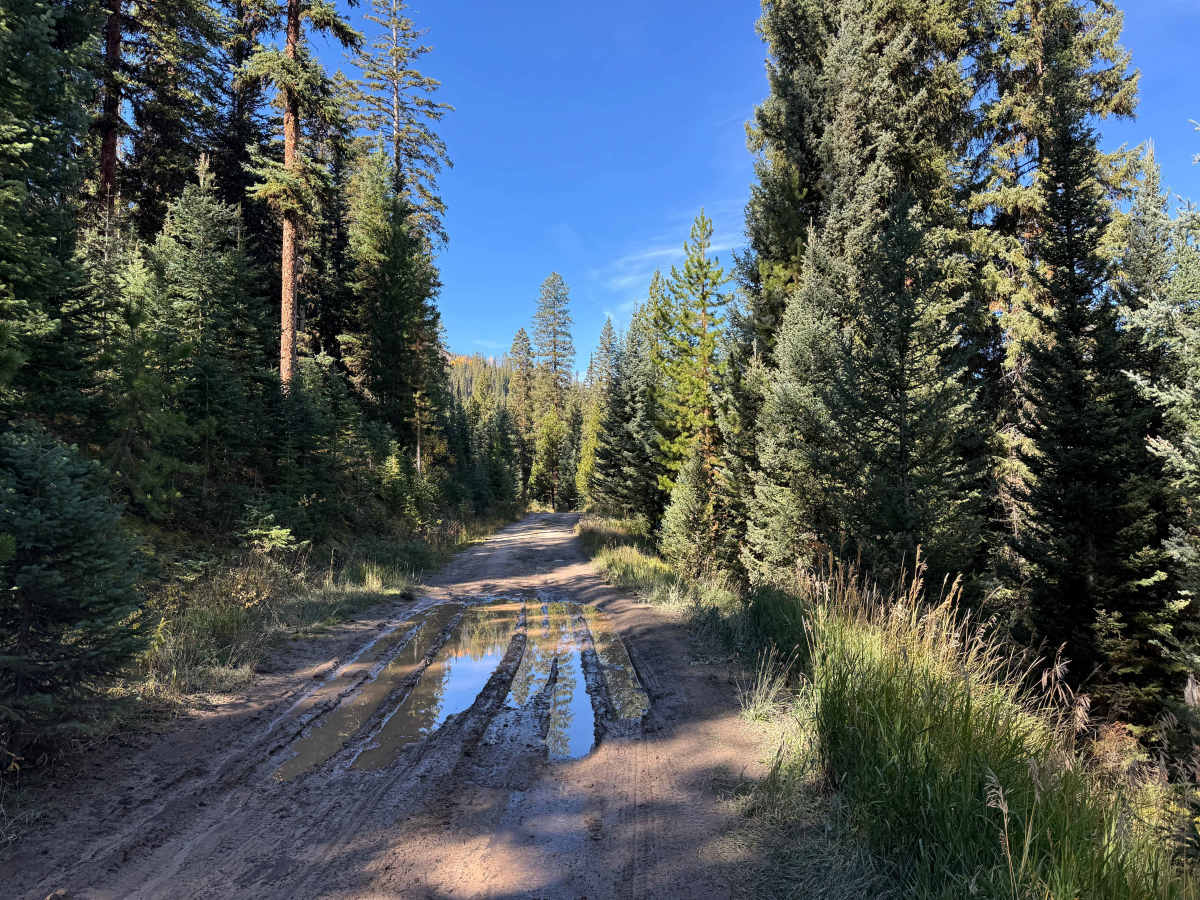
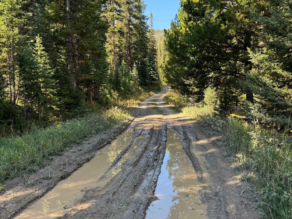
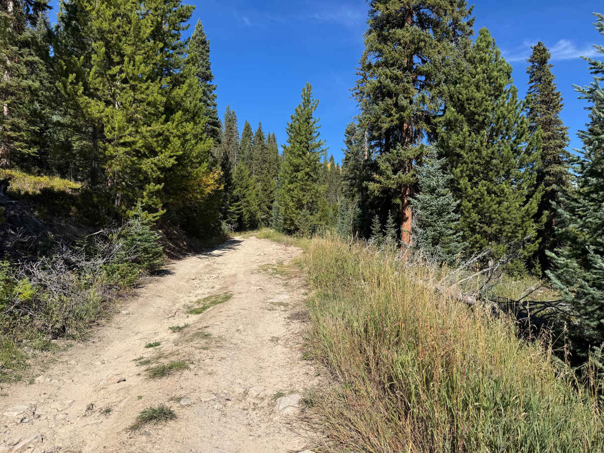
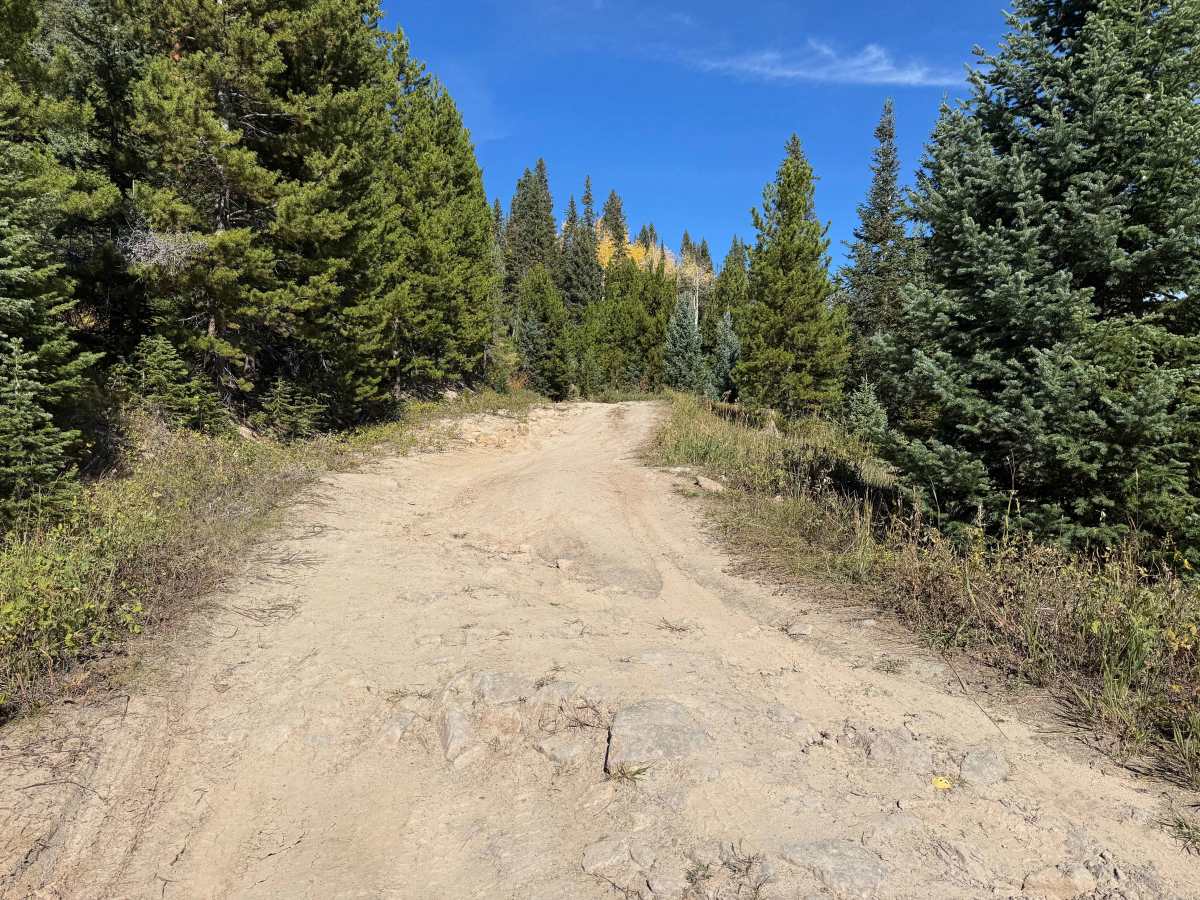
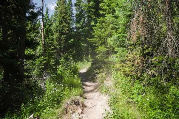
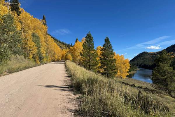
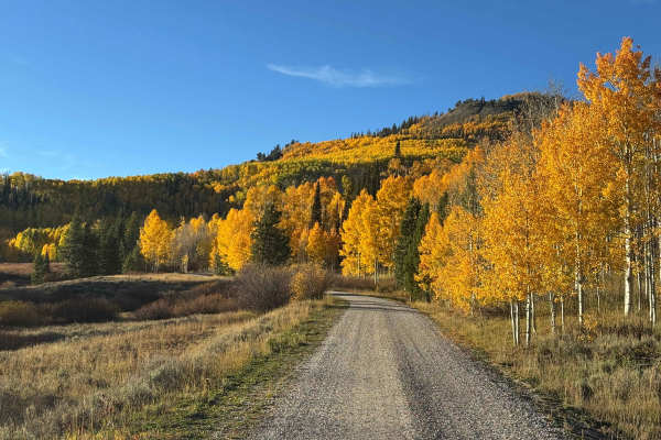
This spur trail off Iron Mountain Road is an out-and-back route that begins relatively level, with sections of standing water and ruts as it winds through a beautiful mixed forest of pine and aspen. There are several good dispersed campsites along the route, making this a scenic option for a short off-road excursion or overnight stop. The trail eventually reaches the Nipple Creek Trailhead, which provides access for hikers, horseback riders, mountain bikers, and motorcycles. A small campsite is located near the trailhead, but vehicle travel continues only a short distance beyond it before a locked gate prevents further access to the end of the route, requiring you to turn around and retrace the trail.
Difficulty
This is not an overly difficult trail, although there are several water-filled ruts where drivers should use caution to avoid getting into a deep mud hole. A few steeper sections also feature ruts that require careful wheel placement, but nothing that an experienced driver should have difficulty navigating. In most conditions, 4WD may not even be necessary unless wet conditions create deeper mud or traction becomes an issue.
History
The history of trails in this area goes back well before modern Forest Service roads. Early transportation routes often followed Native American and wildlife corridors, natural passes, and the easiest terrain through the mountains. As mining, ranching, and settlement expanded during the late 1800s and early 1900s, these paths developed into wagon roads, freight routes, and livestock trails. The Lamb Trail near Steamboat was used to move sheep toward market, while the Wyoming Trail served ranching and sheep-driving operations between Wyoming and the Yampa Valley. The arrival of the railroad in 1909–1912 greatly expanded access and helped drive the development of mining, ranching, and tourism. The Routt National Forest itself was established as the Park Range Forest Reserve in 1905 and renamed the Routt National Forest in 1908. Many of today’s roads and trails are essentially modern versions of these historic transportation corridors.