Trail Overview
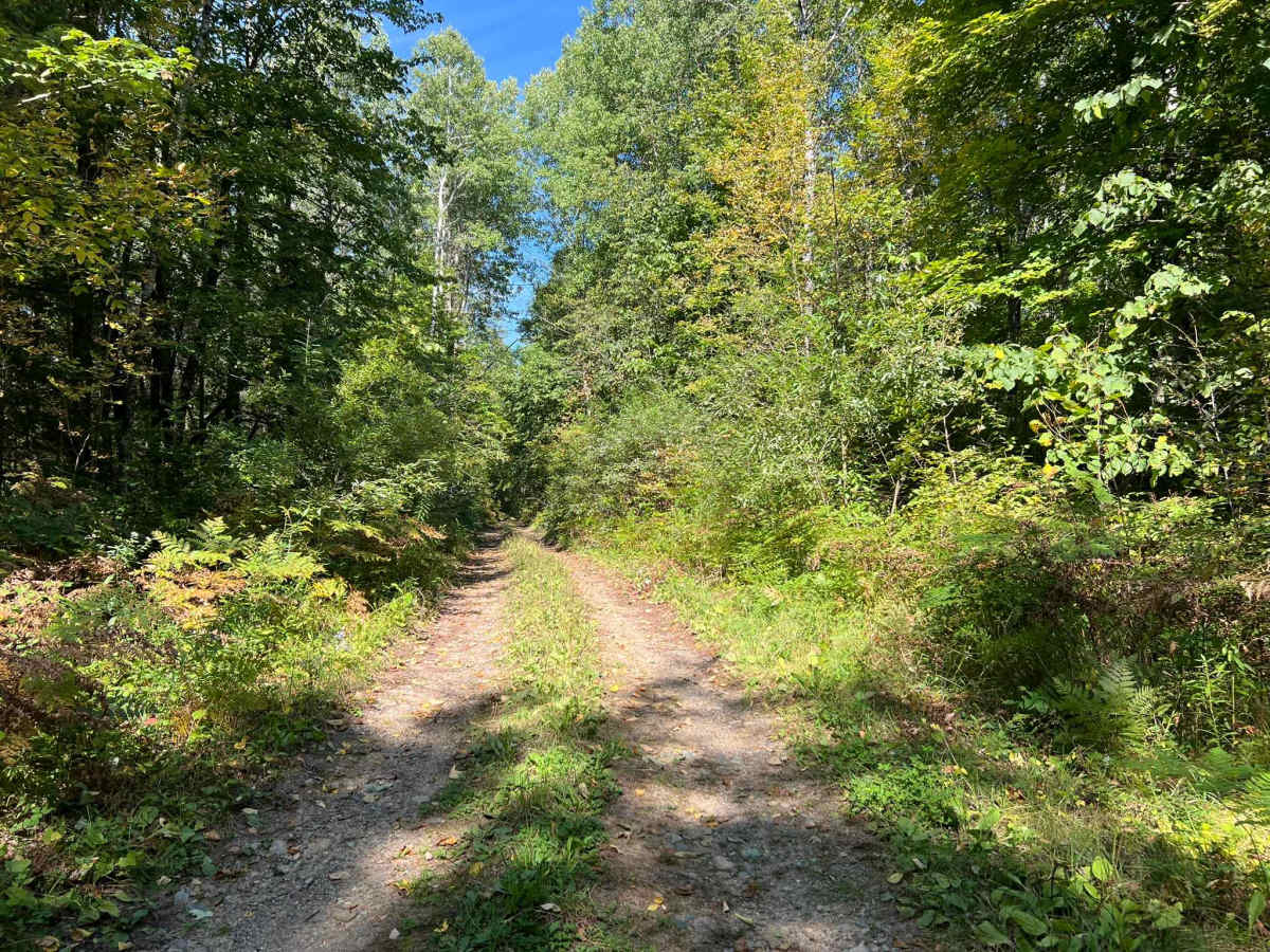
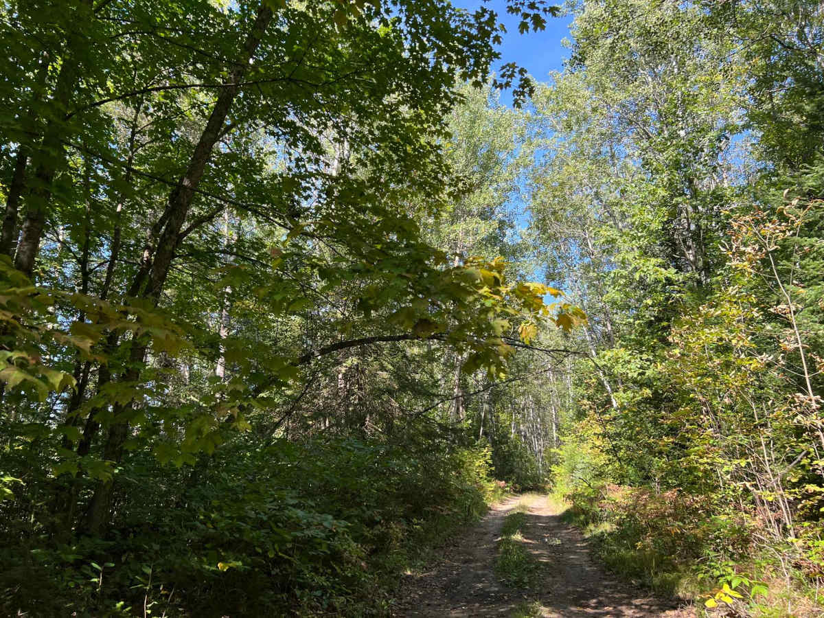
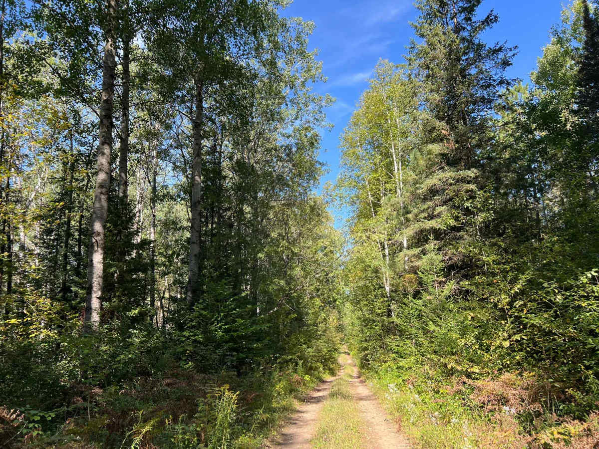
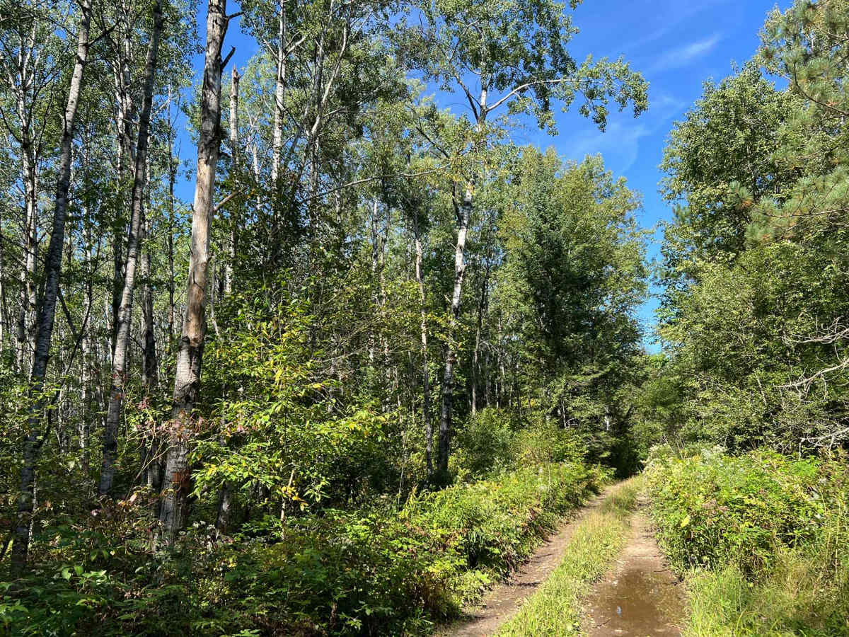
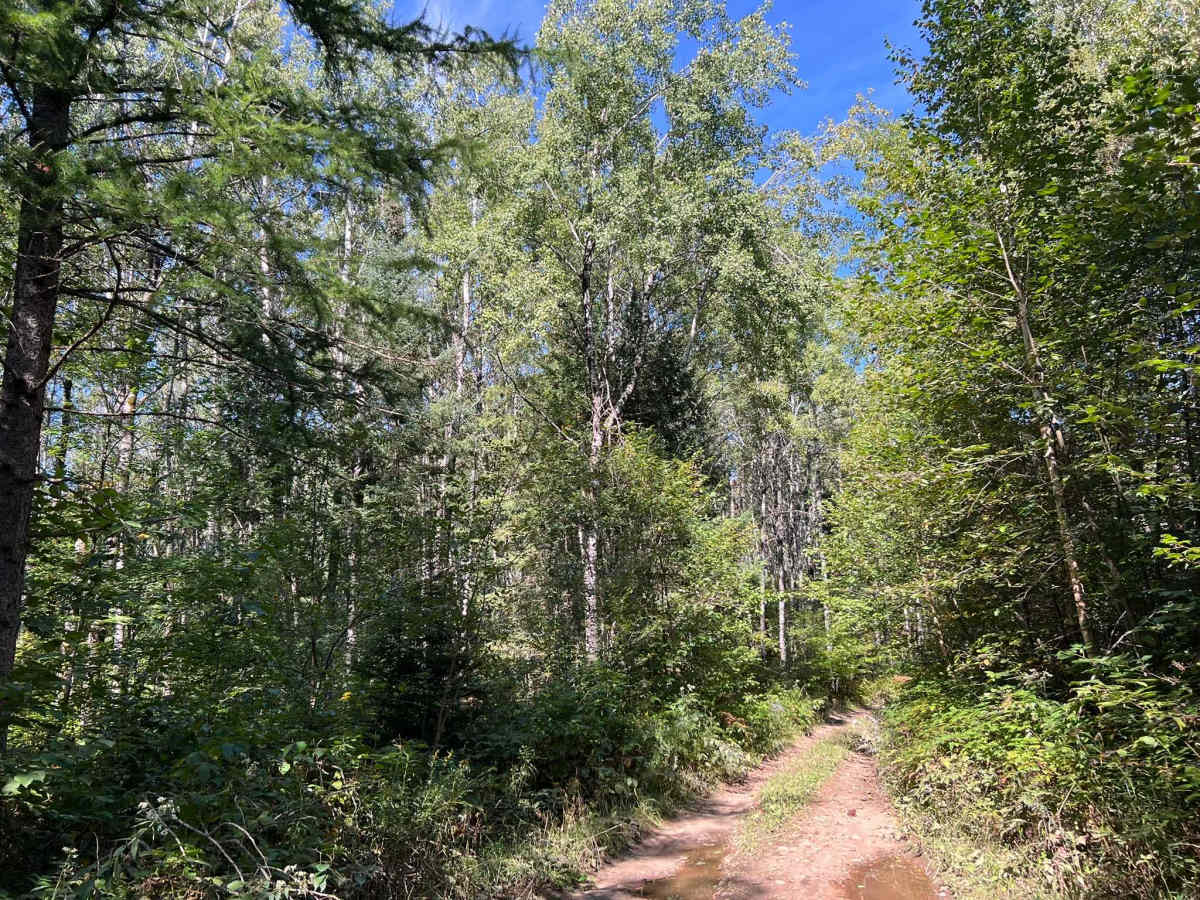
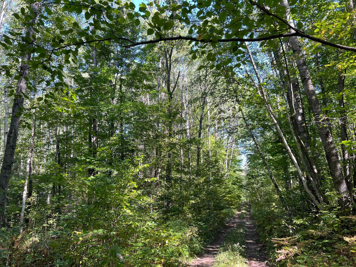
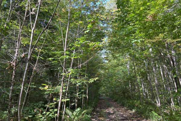
FS 2675 is a swampy dirt two-track that navigates from FS 3847 to FS 2361. This trail is relatively short only being 2 miles in length but it has some of the largest and deepest sections of swamp in this area. The trail has many large stagnant mud holes as well as deep ruts; these can range in depth from 2 inches deep to 18 inches deep or more. While these being deeper than 18 inches is uncommon, there is a rare possibility. Many of the ruts are 8-12 inches deep and will challenge vehicles with low ground clearance. The ruts, as well as mud holes, are anywhere from just a couple of feet long to roughly 50 feet long. The ruts and mud holes have both soft and hard bottoms; however, the sections that have a soft bottom are mostly segregated to the north end of the trail. These obstacles are hard to avoid due to the dense forest and overgrowth located around the trail. This trail also has several small hill climbs up mildly rocky and rutted terrain. This trail is equally challenging when traveled from either direction, and has features that can allow it to be enjoyed from either direction. The scenery around this trail is dominated by young and maturing hardwoods with some pines and other softwoods mixed throughout. Cell service on this trail is very spotty, and traveling with downloaded maps should be considered.
Difficulty
This is a packed dirt trail with numerous mud holes, large ruts, and moderate hill climbs. Mud holes and rut depth are typically under 18" in depth, but depending on the amount of recent rainfall, there could be an isolated 24" plus of depth. This is uncommon but is possible. Mud holes and ruts can either have a hard bottom or a soft bottom. The trail is only wide enough for one vehicle and will require vehicles to reverse to a clearing in order to safely pass.