Trail Overview
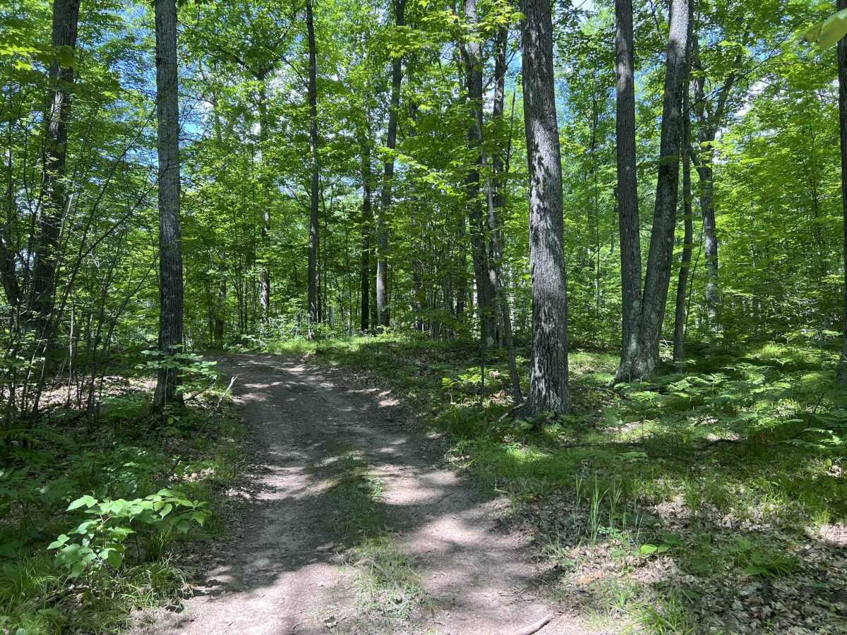
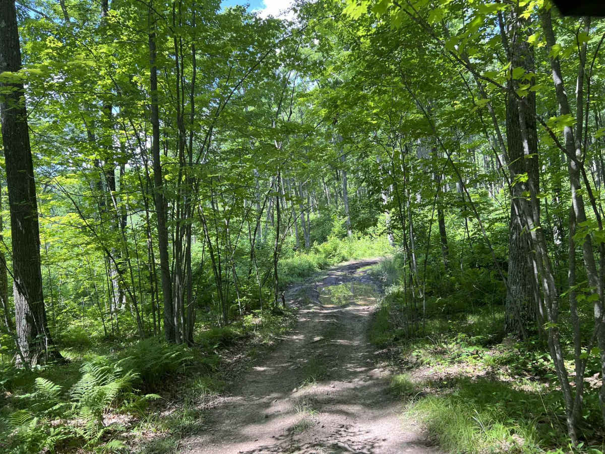
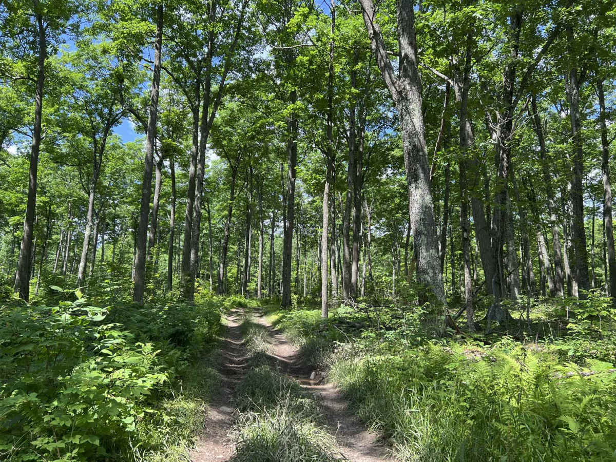
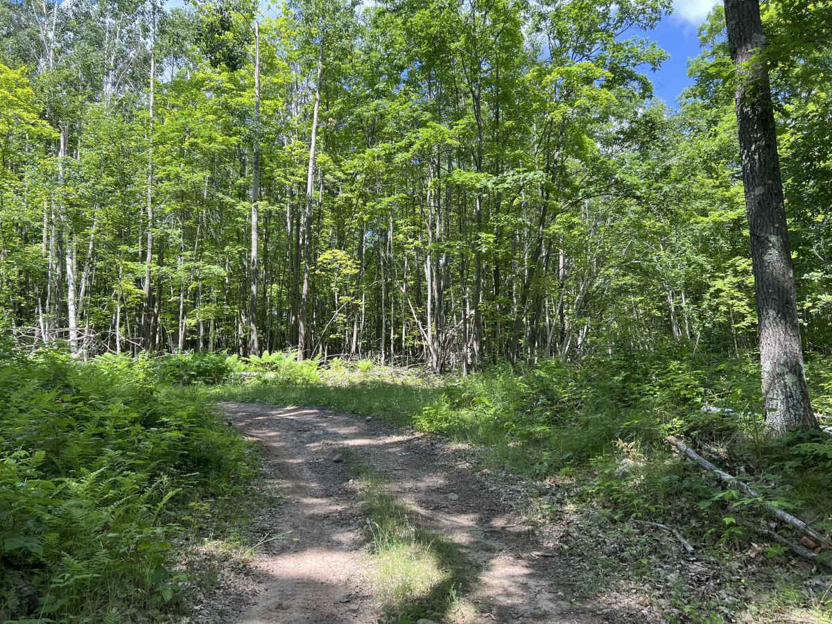
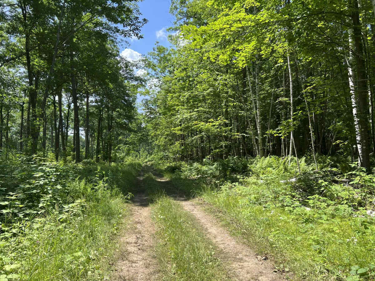
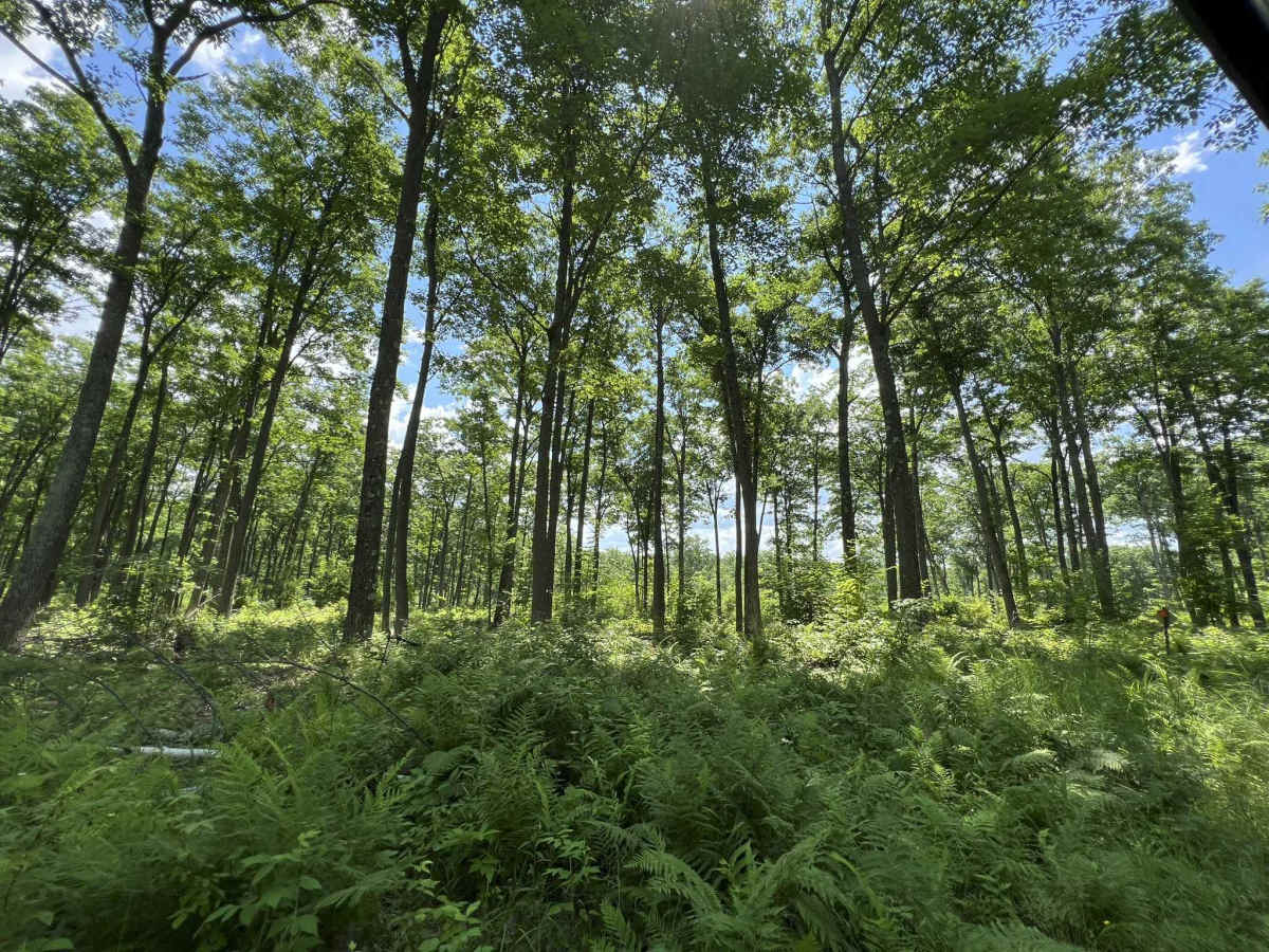
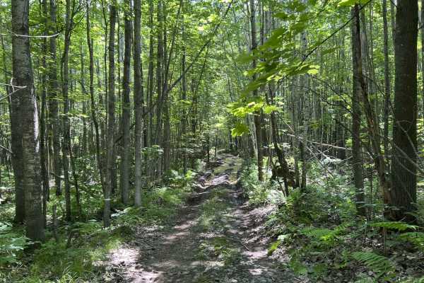
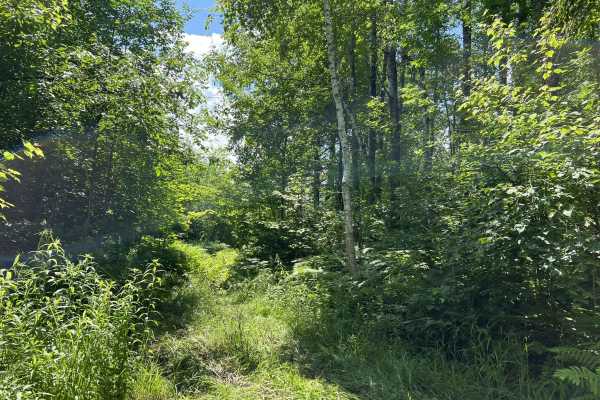
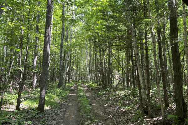
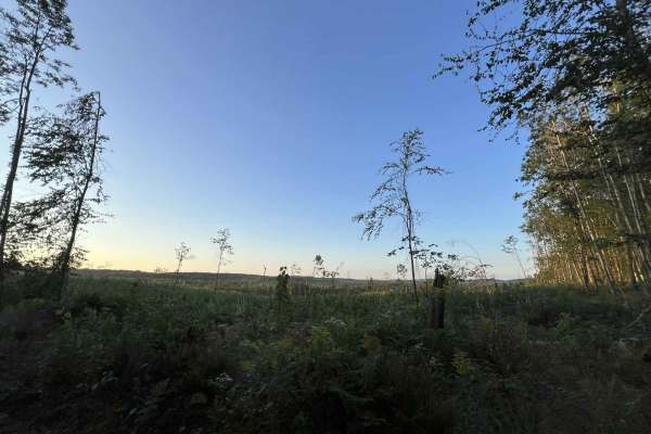
Trail 5 navigates from its intersection with the western end of Trail 1 to its intersection with the western end of Trail 3. Compared to other trails in this trail system, Trail 5 has a lack of large mud holes and ruts that dominate the other trails in this area, but there is one large and rutted mud hole located on the trail's southern end, before the trail reconnects with Trail 3. This trail, however, does have a good amount of elevation change. With this trail being located the furthest west in the trail system, the trail navigates around and on the hillside, which descends down to Lake Metonga. This portion of the trail is also less dense and overgrown than other trails in the system, thanks to a semi-recent harvest. Undergrowth within the trail system is also limited to mostly ferns and some other small plants. Getting a scenic view on this trail is possible, but the highest success is going to be had when done in either the fall or spring, when forest cover is lessened due to the leaves being off most of the trees. There are a couple of small mud holes as well as the large rutted hole, but the small holes are typically under 6 inches deep and are very short; the large hole is 75-100 feet long and can be over 12 inches deep at times. There is also a moderate hill climb on the trail's southern end as it navigates back to trail 3. This has some small rocks and ruts but, as of now, is not too challenging. The trail is only a two-track trail; however, there is room to pull over in most locations to allow for passing. The trail base is mostly dirt with some spots of grass mixed in. Cell service in this area is generally good but can be slowed in the summer months due to increased demand by tourists. If unfamiliar with the area, traveling with downloaded maps along your ride route is always a good idea.
Difficulty
Riders of all experience levels can easily navigate this trail. This trail has few challenging obstacles thanks to the lack of mud holes. There are a few mild to moderate hill climbs located throughout the trail. Sight lines on this trail are also okay to good thanks to the lack of dense forest and tall undergrowth. Speed will still need to be controlled since the trail is only a two-track trail, but there is at least enough room on the edges of the trail to pull off to allow vehicles to pass.

 Offroad