Trail Overview
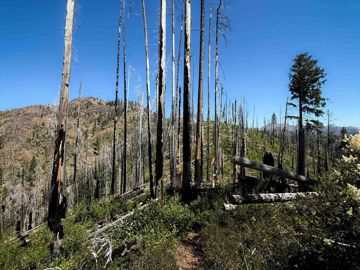
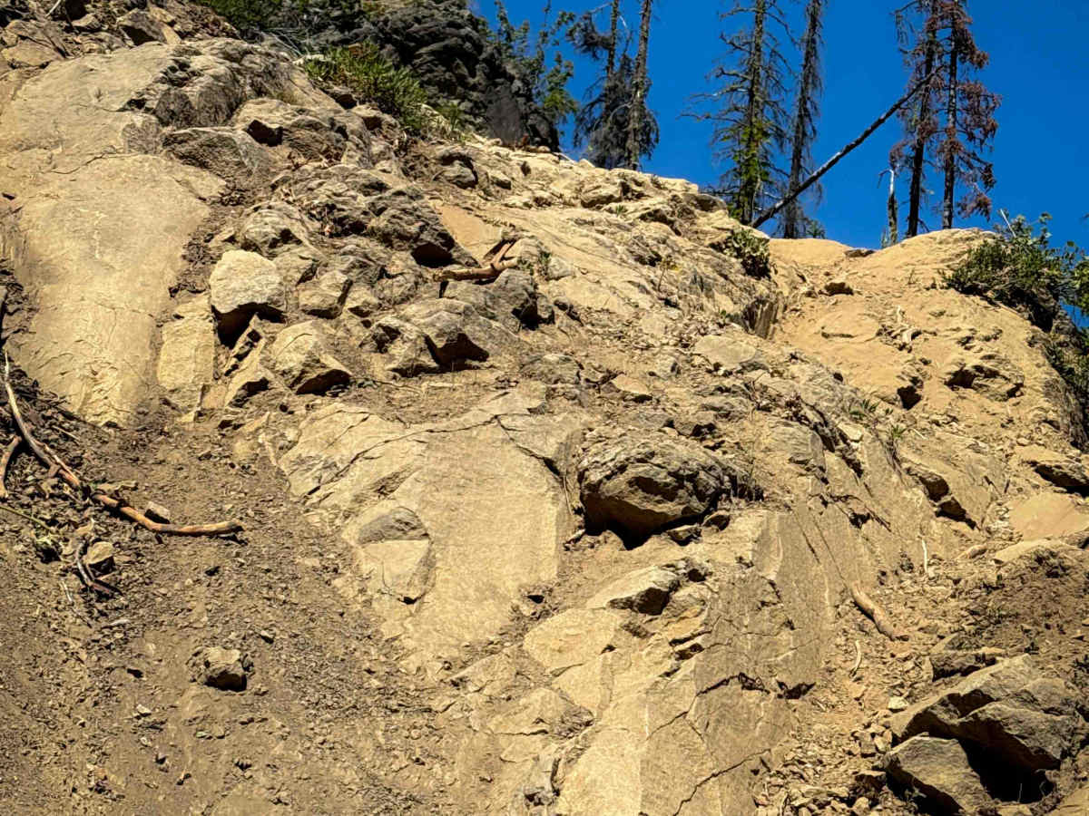
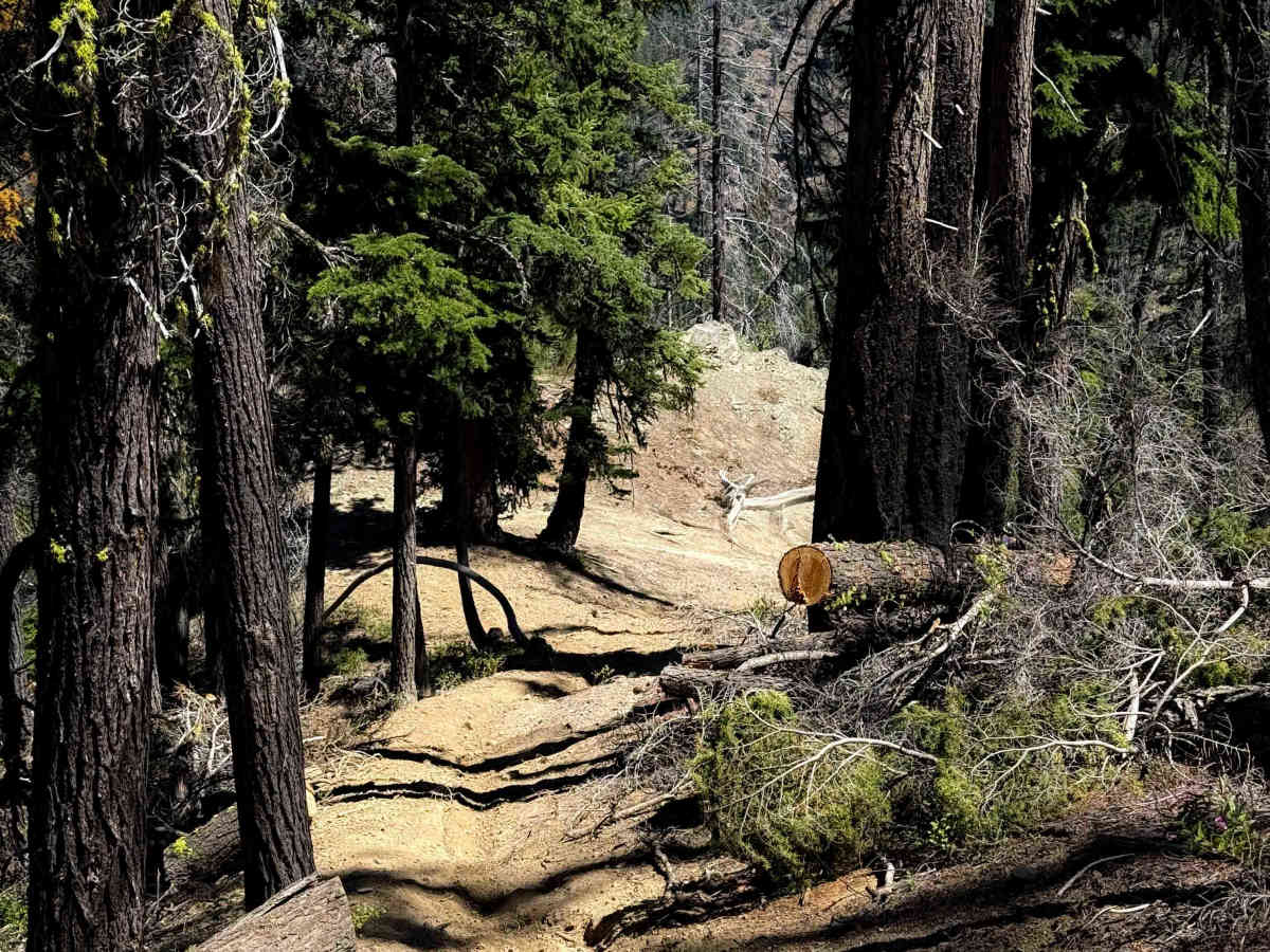
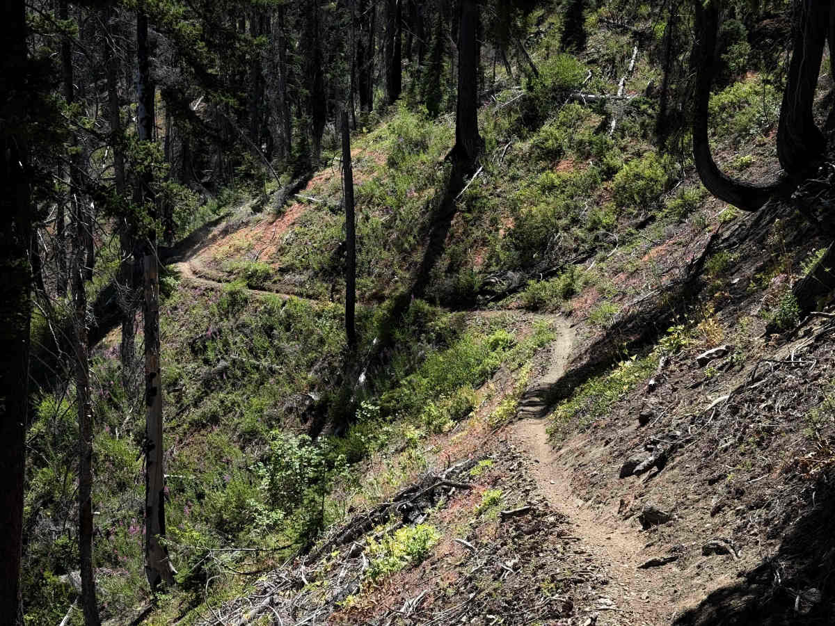
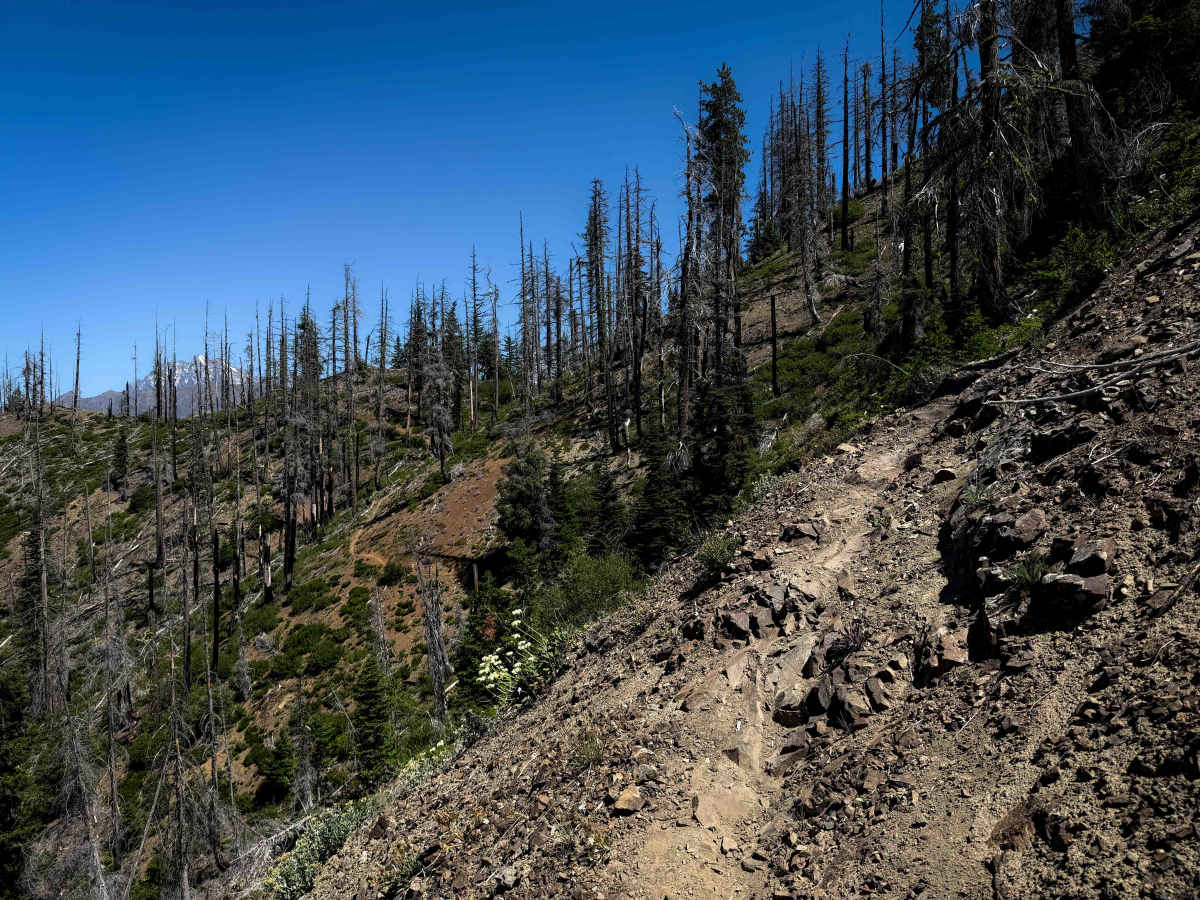
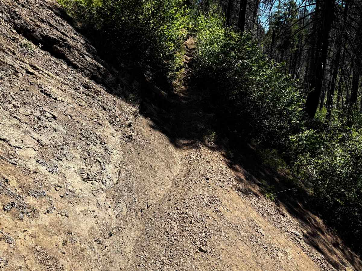
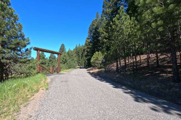
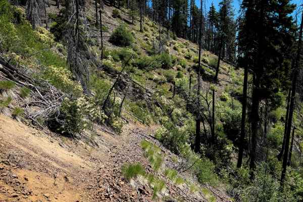
Way Creek is a rugged and difficult single-track through the Wenatchee National Forest north of Cle Elum, Washington. The west end starts at an intersection with the Middle Fork Teanaway Trail, and it ascends steeply for 2 miles to the Way Creek Trailhead, which is a small parking area at the end of FS 9701. This first 2 miles mostly consists of narrow side-hilling with loose dirt and loose rocks, with several tight switchbacks. There are small rocky ravine crossings and roots across the trail. After the trailhead, there is a very steep climb up for a half mile where the trail is as wide as a road. The climb goes straight up, but it’s not as loose here, so you have more traction. Then the trail narrows back up into a singletrack and starts side-hilling again through very exposed hillsides. The trail goes through a burn area from a recent fire, so you can expect changing conditions, erosion, washed-out areas, and fallen logs. The bushes have become very overgrown since the burn, and are encroaching into the trail, blocking visibility. There can be hidden rocks and roots behind the bushes, and they can push you towards the edge of the trail when it’s already very narrow and shelfy. There are a couple larger rock obstacles during the narrow and exposed sections that make it even more difficult, including embedded rock faces, and a really rutted and silty ledge section that is very steep, that you’ll ride down if riding in the south-to-north direction. The trail goes around Johnson Mountain, crossing over a saddle and side-hilling down the backside of the mountain. There are brief moments of ridge-line riding where the side-hill exposure isn’t as bad, but the majority of the trail is constant side-hill exposure, and should only be attempted by advanced riders confident in this type of terrain. You get really great views of the Stuart Range when you are on the ridge line. It ends at an intersection with Jungle Creek Trail.
Difficulty
This is an advanced trail due to constant side-hill exposure in very loose terrain, high up on the hillsides. The trail is extremely narrow, with overgrown bushes. It goes through a burn scar, so there are unpredictable obstacles such as washouts and downed logs. Expect loose rock, tight switchbacks, and several larger embedded rock ledge obstacles as well. It is very steep in spots, gaining over 2,000 feet elevation in 5 miles. This is ideal for expert riders.
Access Description
The single-track motorized trails in the Teanaway drainage are extremely challenging, with narrow paths along cliffs, rocky sections, and steep terrain. Because the area is environmentally fragile, riders are asked to travel in groups of five or fewer and use trials tires instead of knobby rear tires. Please ride responsibly and tread lightly.


 Offroad