Trail Overview
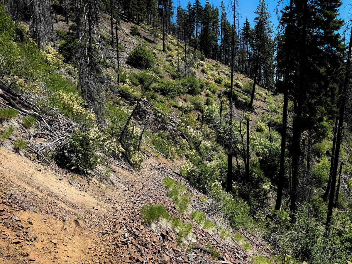
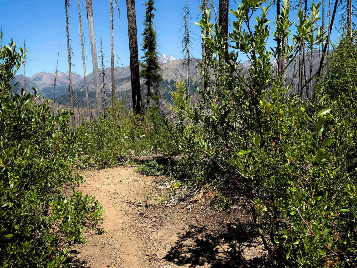
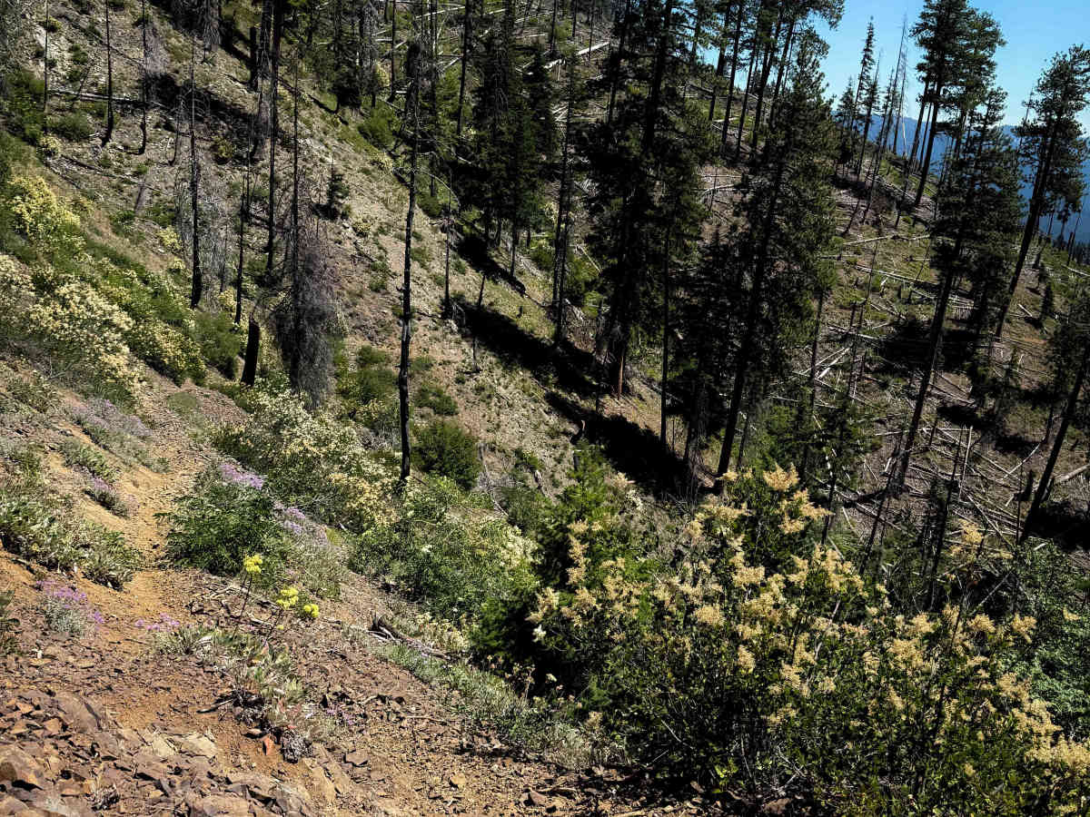
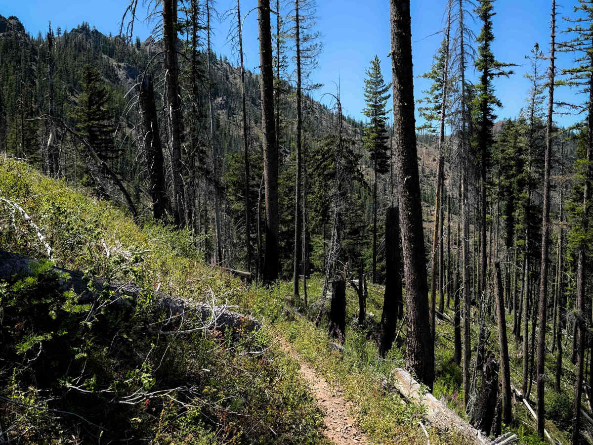
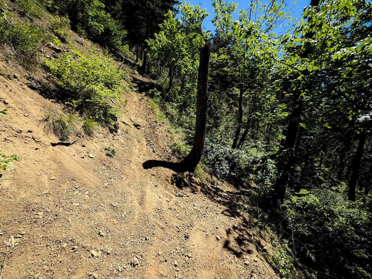
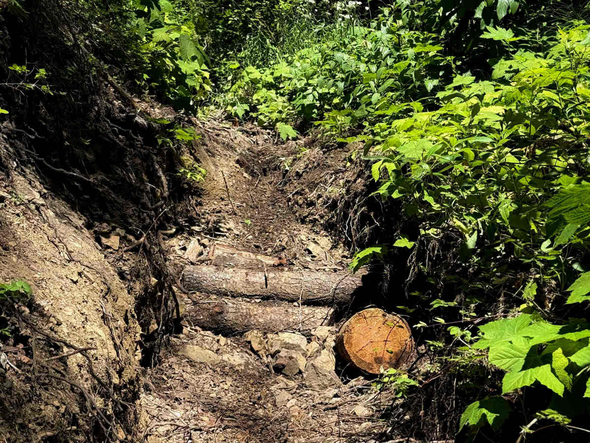
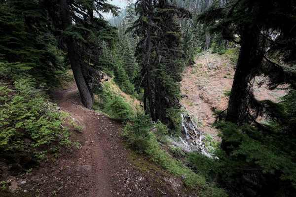
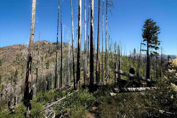
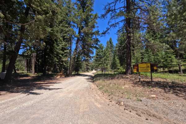
Jungle Creek is an upper intermediate difficulty single track through the Wenatchee National Forest north of Cle Elum, Washington. The north end starts at the intersection with the Johnson Medra trail, and it climbs steeply up towards the intersection with the Way Creek trail. This north half of the trail is a lot of narrow and shelfy side-hilling through a burn area, with tight switchbacks as it approaches the saddle. The trail is a mix of loose dirt and loose rock, and there can be unexpected obstacles in the burn area, such as wash outs and downed logs. There is significant exposure as it side-hills along the mountain side. After 2 miles and 1,200 feet elevation gain, at the intersection with Way Creek, it starts to descend back down for the second half of the trail. The descent is similar, with tight switchbacks, narrow and exposed trail in the burn area, and loose conditions. Near the bottom of the descent, it starts to parallel a creek, with a few rocky stream crossings, sometimes with large roots that you have to drop off of. There are overgrown bushes lining the trail for much of the 4 mile route, blocking visibility and hidden obstacles. It pops out at an unassuming entrance on Jungle Creek Road that could easily be missed if starting your ride at the south entrance.
Difficulty
This is a more difficult trail due to constant exposure, narrow trail, loose conditions, and tight switchbacks. The majority of the trail is in a burn area with unpredictable conditions and overgrown bushes. This trail is more suited to experienced riders comfortable in exposed and narrow terrain.