Trail Overview
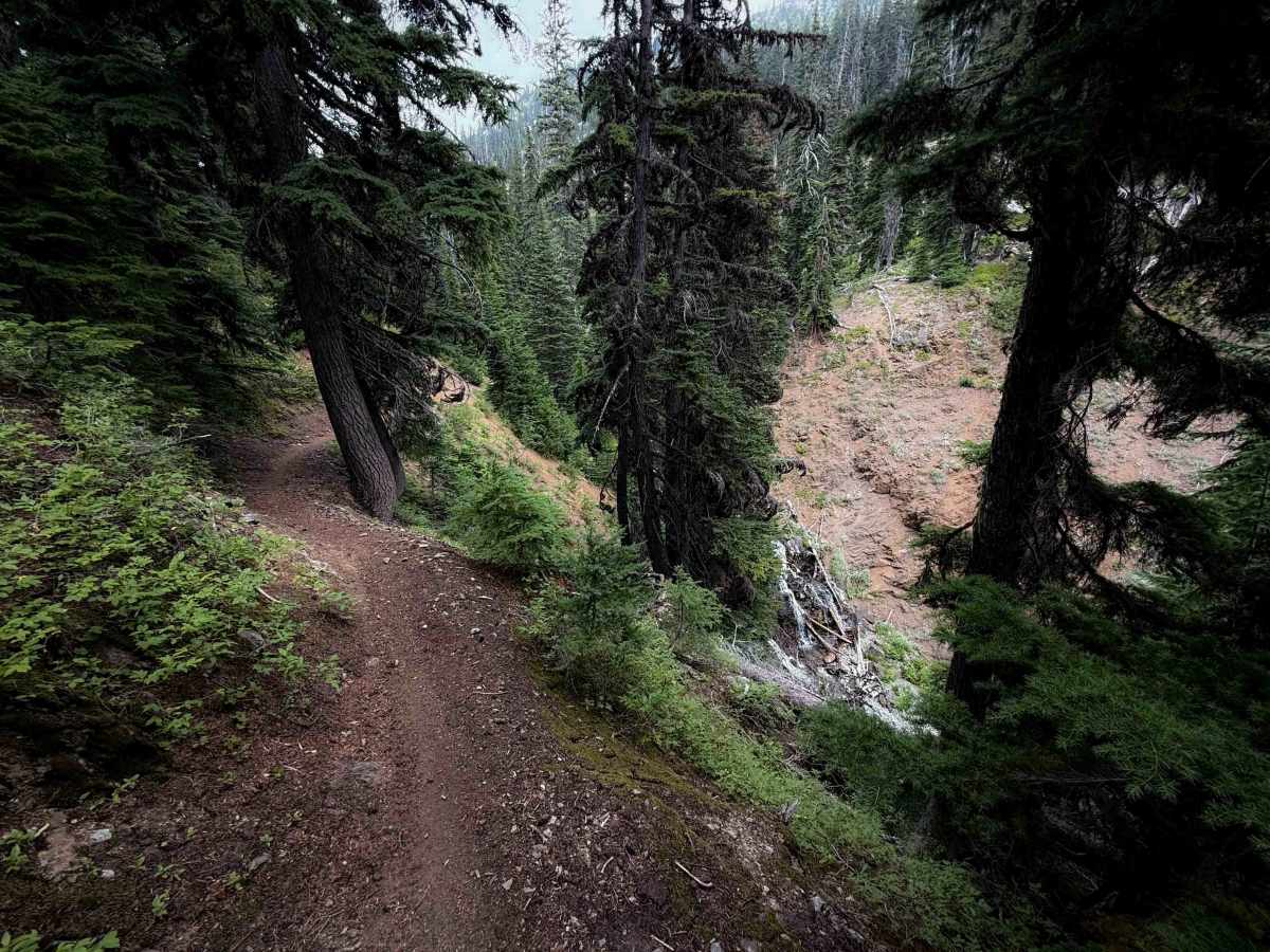
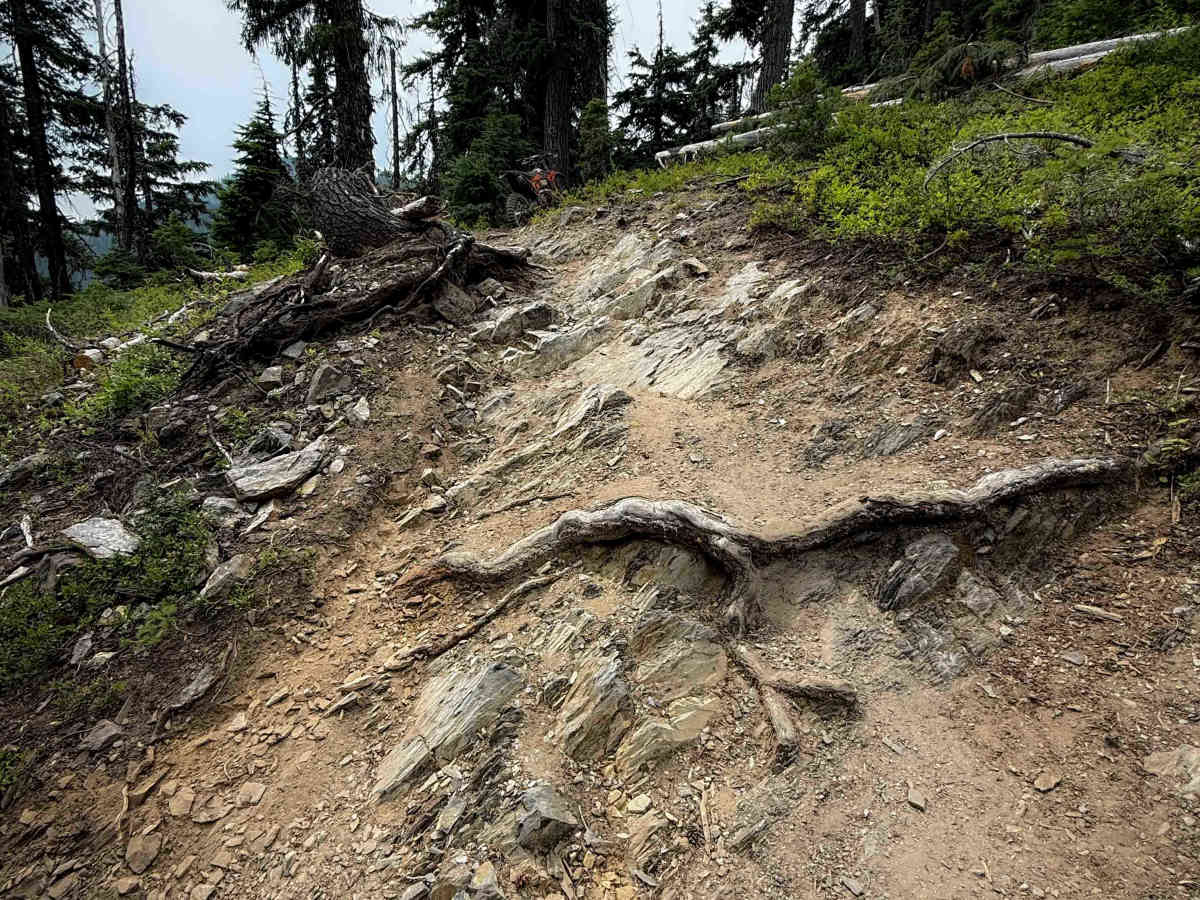
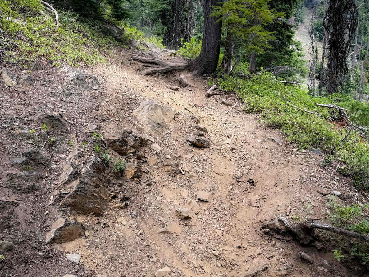
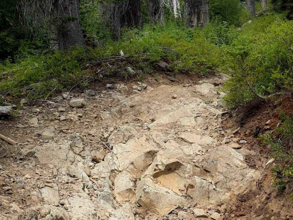
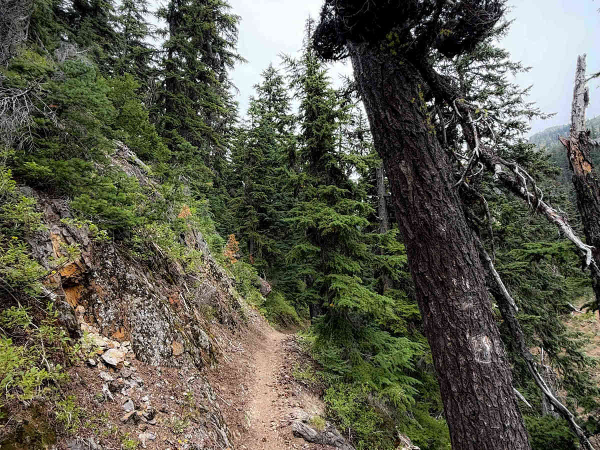
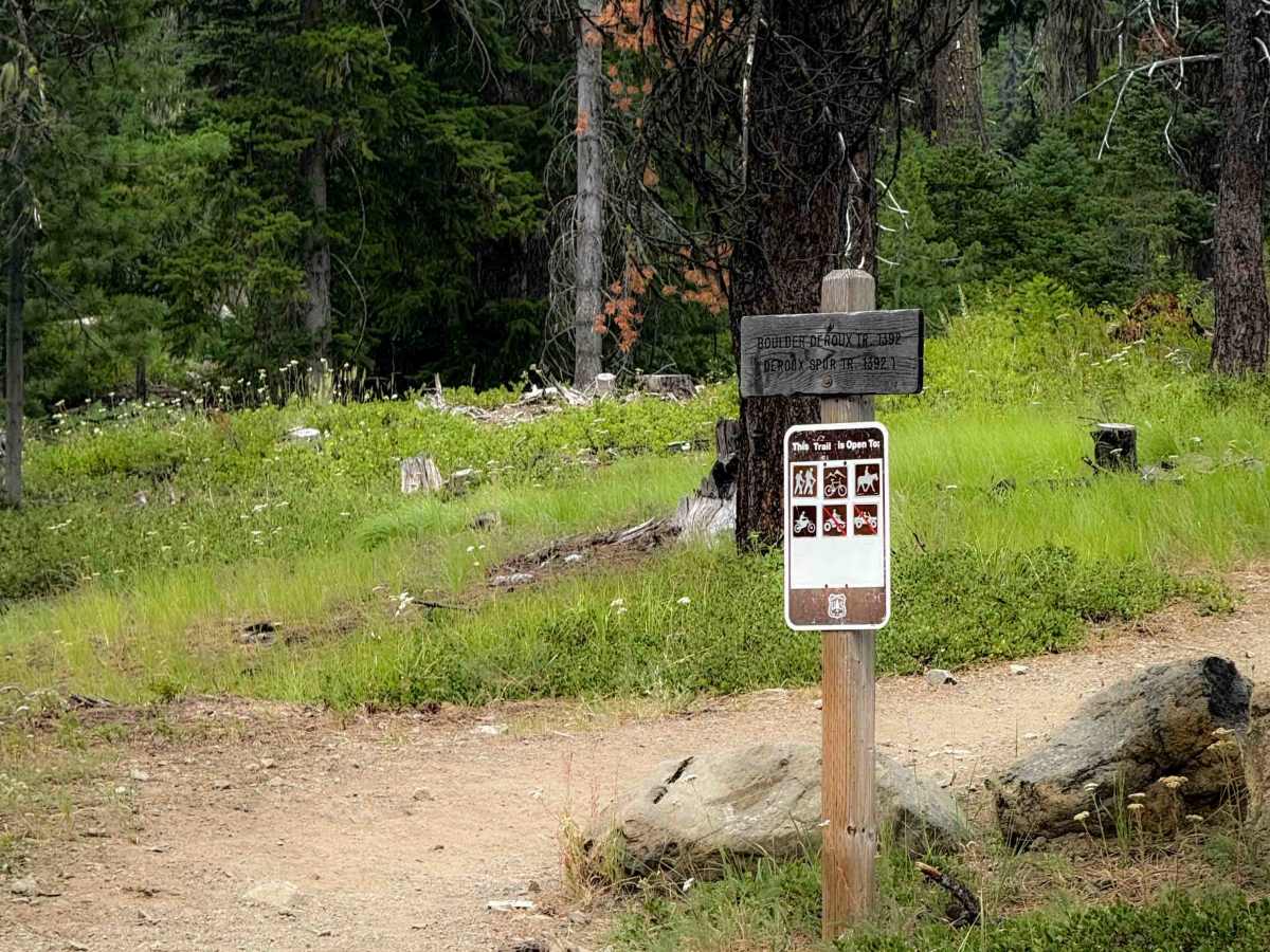
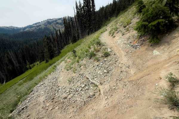
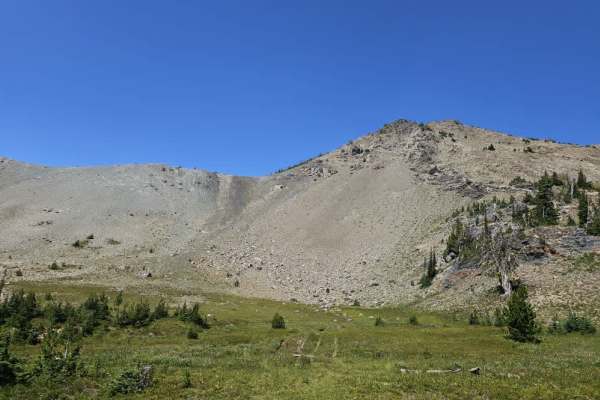
This 4.3-mile-long section of intermediate single track is full of techy forested obstacles and tight switchbacks, and goes past a scenic view of some waterfalls on the DeRoux Creek. This is a popular route for hikers and horseback riders heading to Gallaher Head Lake, so make sure to respectfully share the trail with other users. Much of the trail is narrow and shelfy, with exposure, and could be difficult to pass in a lot of spots. The east end departs from the De Roux Campground, and starts easy, going across a large wooden bridge, and meandering through the forest with minor roots and rocks. It is very gradual for the first mile, but after it passes the Boulder De Roux Spur, it starts climbing and ascends over 1,800 feet in elevation towards the Fortune Creek 4x4 Trail. It does about 20 switchbacks during the ascent, some gradual and easy, and others tight and technical. There are frequent large rock and root obstacles on the inside corners of the switchbacks, including big embedded boulder faces, moderate ledges, and blunt root ledges. These will require elevated pivot skills to set your bike up for the obstacle after making the switchback. About 2.5 miles in, the trail gets really narrow and exposed for a quick segment, elevated above the DeRoux Creek, and passes a scenic waterfall. It gets more gradual for the last segment of trail on the north end, through a few meadows and a few final switchbacks.