Trail Overview
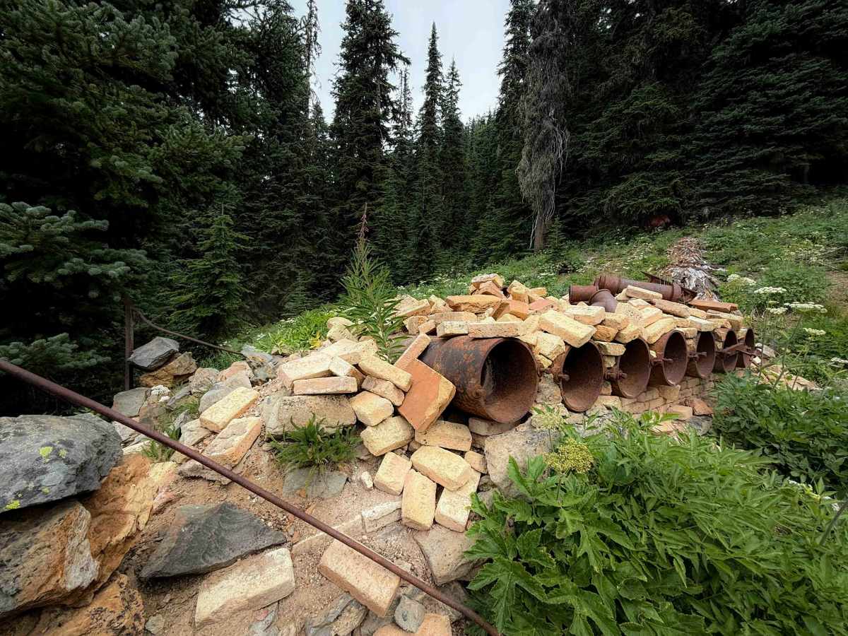
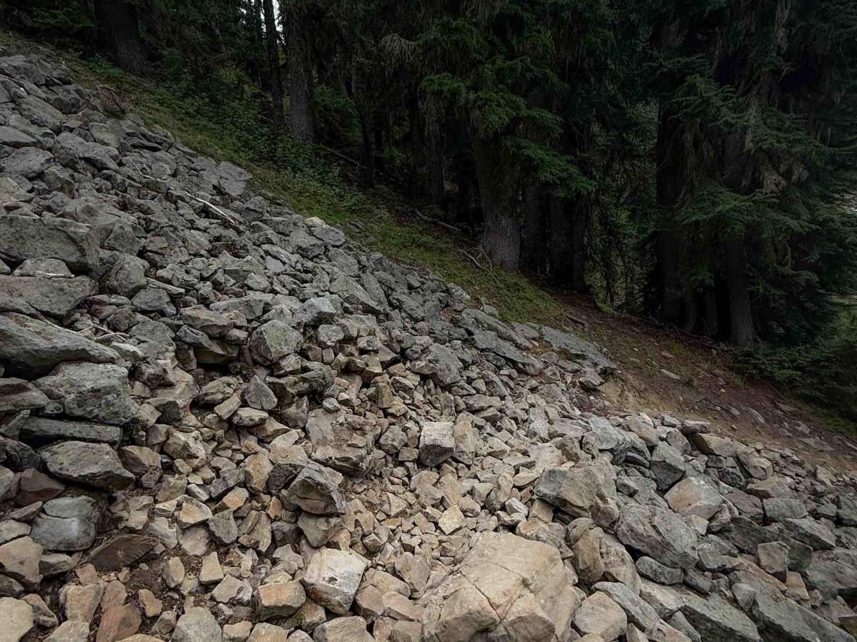
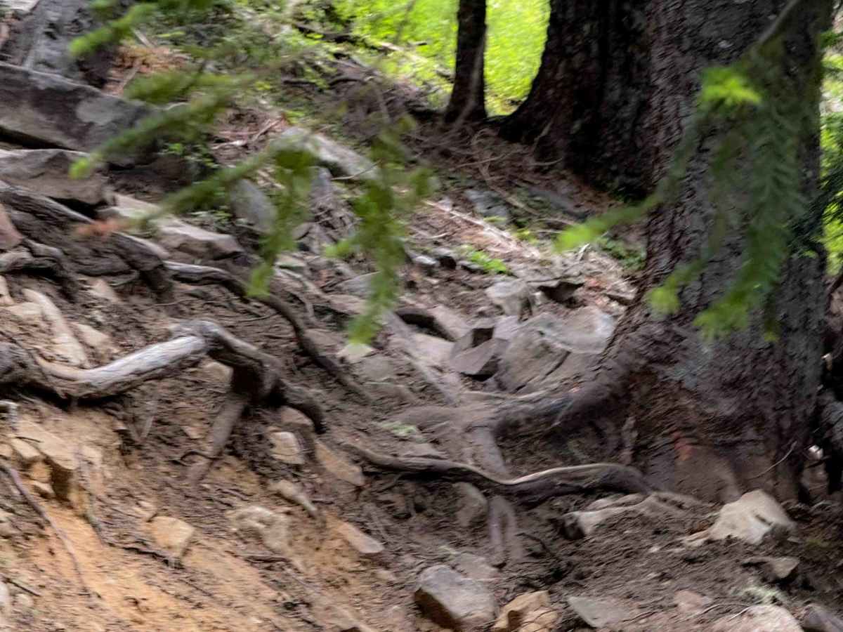
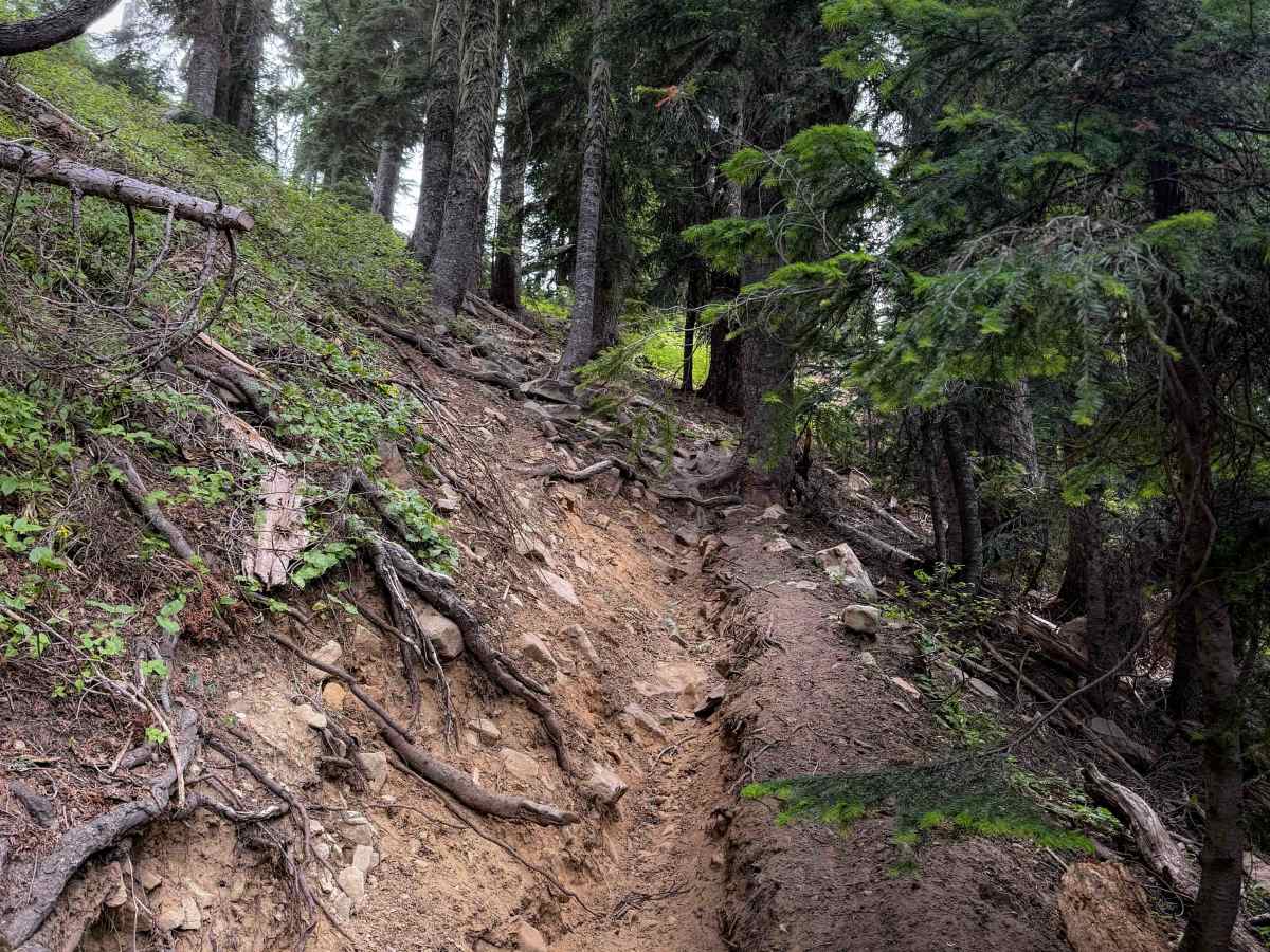
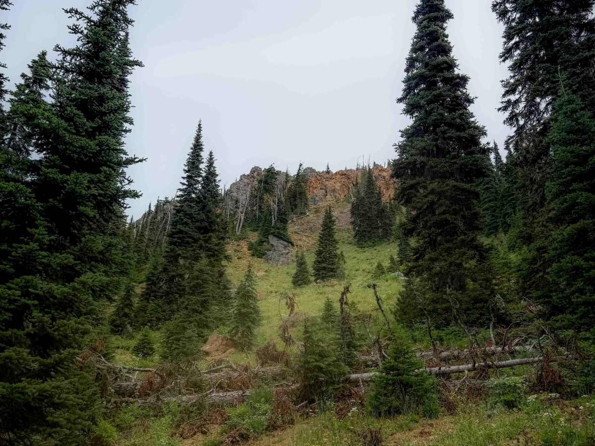
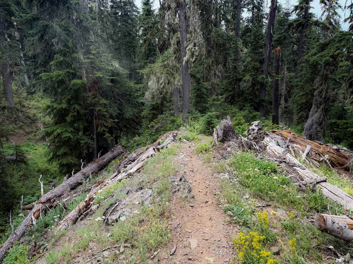
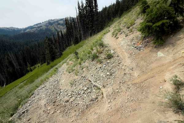
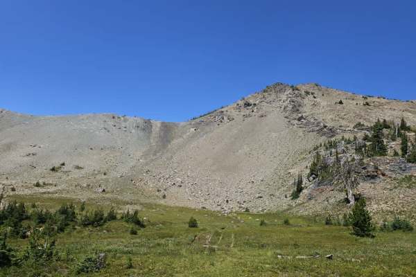
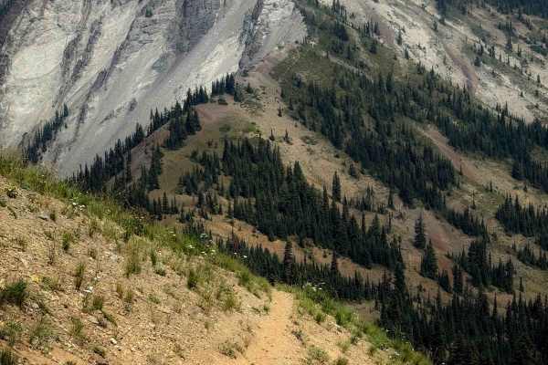
Elsnor Mine Trail is a short, but advanced, connector trail between Boulder De Roux and Middle Fork Teanaway that is a near vertical climb from north to south. It gains over 1,100 feet elevation in just one mile. The trail is very troughed, with large loose rolling rocks, blunt roots, and silty loose dirt that makes it difficult to maintain traction in the steepest parts. The ascent is constant, with no break. One of the most technical parts is near the south end, when it crosses a talus field, full of large boulders, and then switchbacks up a very loose climb with roots. Riders need to be able to maintain traction to the rear wheel without spinning. A stiff hard compound tire will be a struggle here and will risk rutting out the trail. Halfway through the route, it passes the Elsnor Mine, and a piece of old mining equipment of piping and bricks. You also get great views looking up at DeRoux Peak. The south end ends at a little rocky ridgetop at the intersection with Middle Fork Teanaway and the Paris Creek hiking trail.
Difficulty
This is an advanced trail due to extremely steep terrain that average or inexperienced riders may find impassable, especially without proper tire setup for this type of loose terrain. The trail is a near-vertical climb, with additional technical aspects such as roots, loose rocks, and a talus field.


 Offroad