Trail Overview
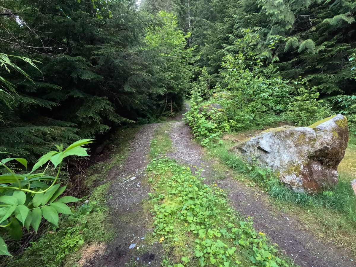
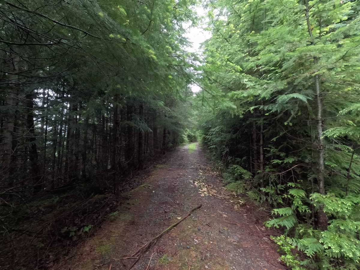
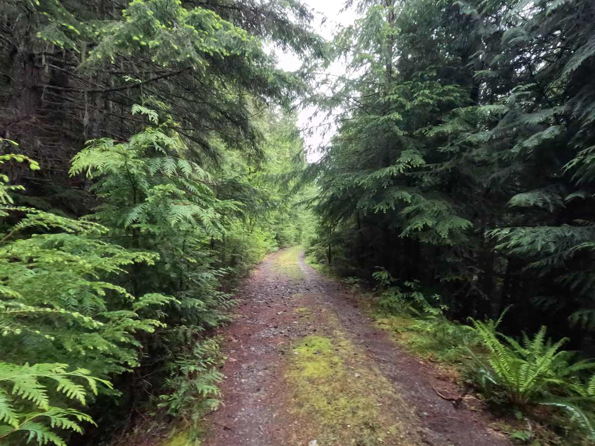
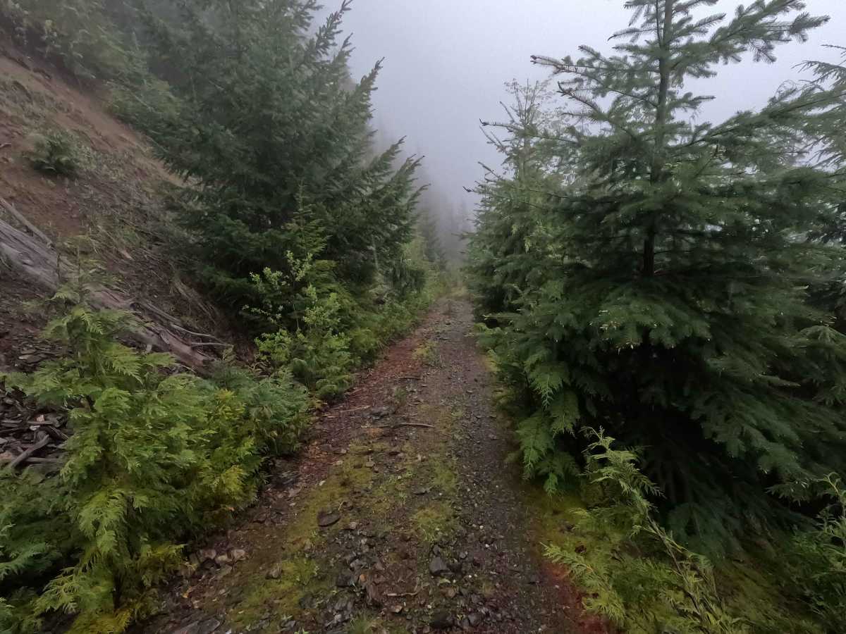
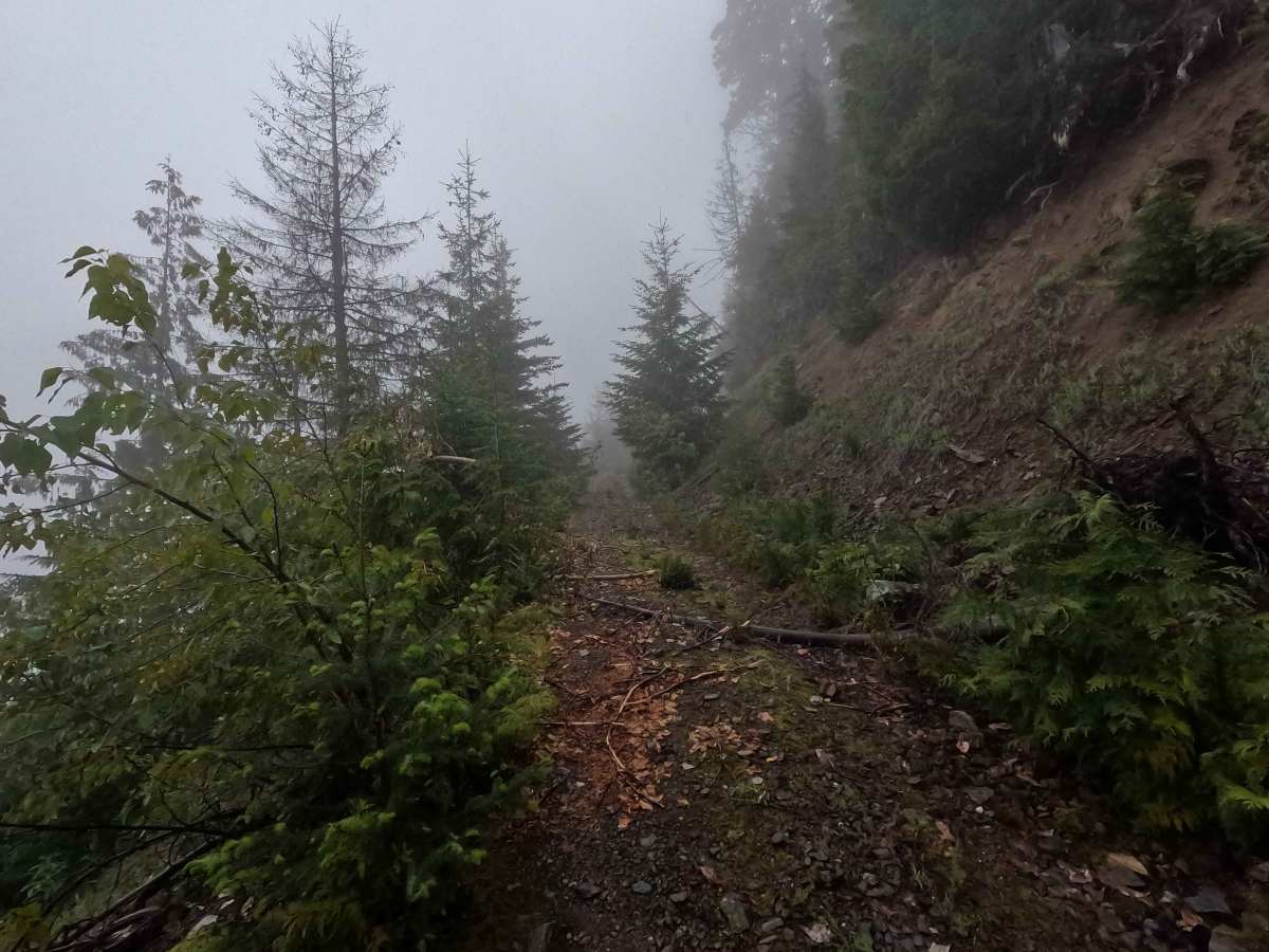
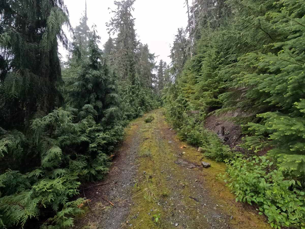
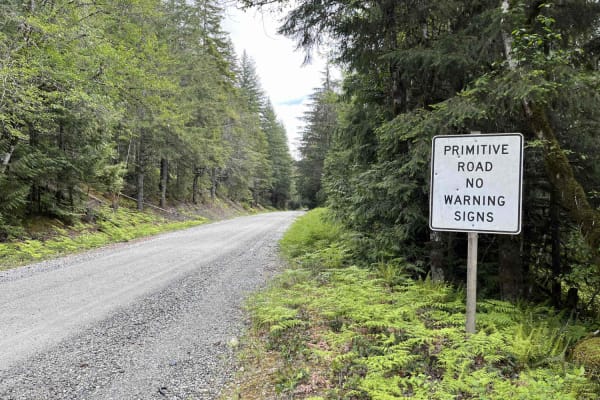
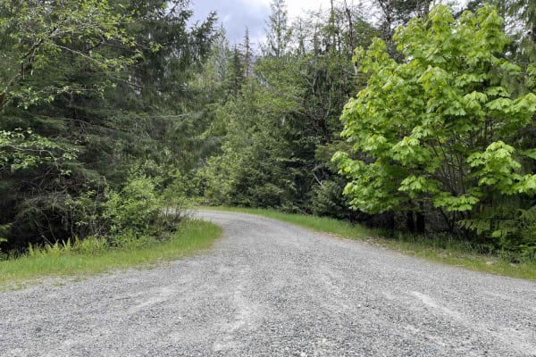
A 4.1-mile out-and-back trail starting from the passable landslide near Slide Lake Trailhead, Illabot Creek Road becomes a remote and rarely traveled route deep in the North Cascades. The road narrows considerably and traverses steep mountainsides on an exposed shelf road with heavy brush encroachment. Several sections are off-camber, undercut, or impacted by landslide activity. While the route contains few technical obstacles, drivers should expect extremely narrow road conditions, significant exposure, and long distances from services or assistance. The road eventually ends at a small turnaround surrounded by rugged mountain scenery, remote campsites, and views of snow-capped peaks. Upper Illabot Creek Road is open year-round to highway legal vehicles.
Difficulty
Illabot Creek Road Upper is challenging, not because of obstacle size, but because of exposure, remoteness, and road conditions. The initial landslide crossing is the most difficult obstacle on the route, featuring an off-camber crossing resembling a large tank trap. High-clearance 4WD is recommended, along with recovery equipment and traction aids. Beyond the landslide, drivers should expect extremely narrow shelf road sections, heavy brush encroachment, undercut road edges, and long stretches of exposure. Wider or heavier vehicles are not recommended due to the narrow road width and unstable sections. Although there are a few traditional technical obstacles, the consequences of a mistake can be significant, and recovery options are limited due to the route's remoteness. This trail is best suited for experienced drivers comfortable with exposure and remote travel. As with most trails in the area, bringing a chainsaw or equipment to clear fallen trees is recommended.