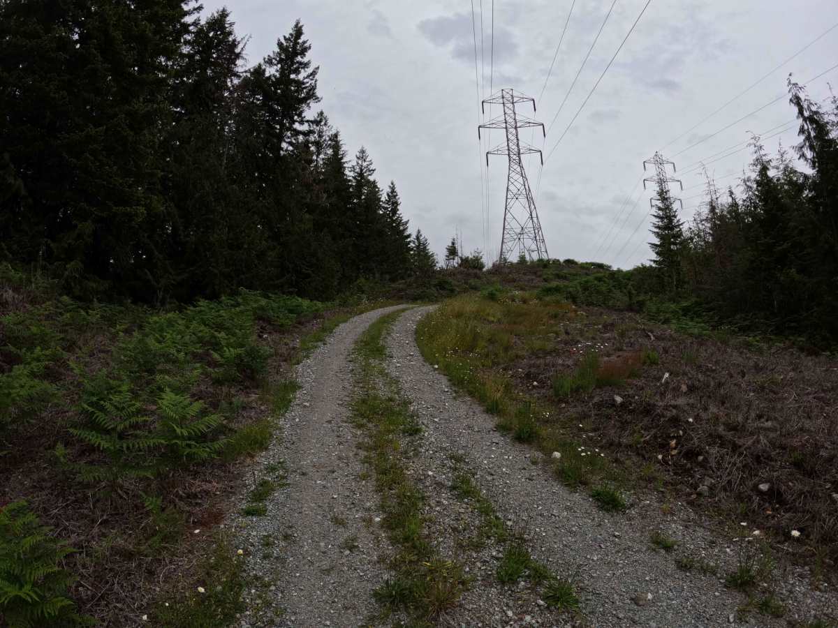
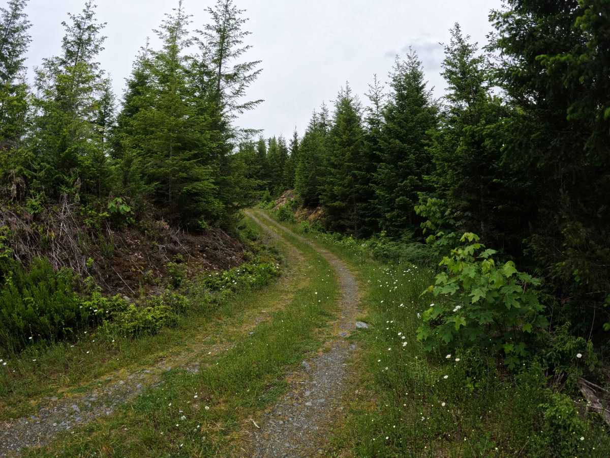
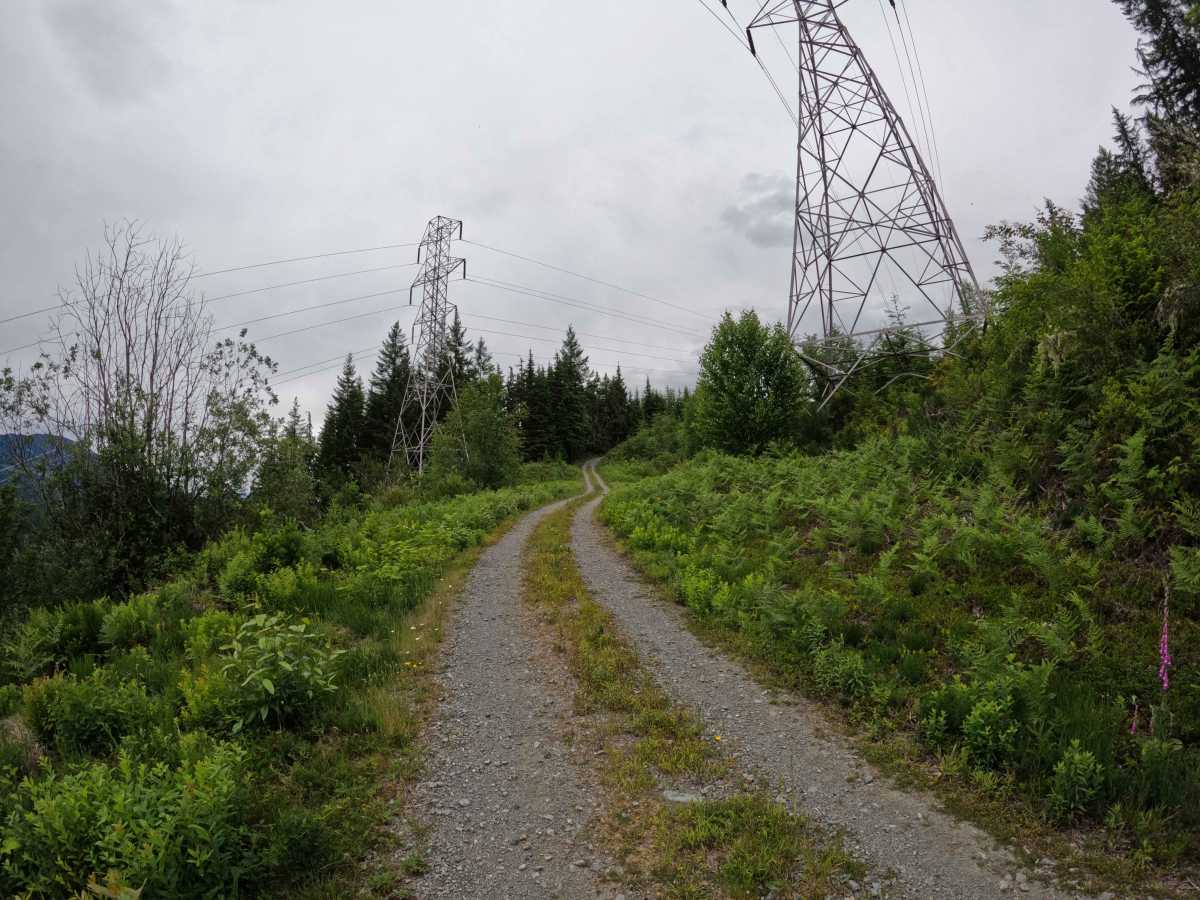
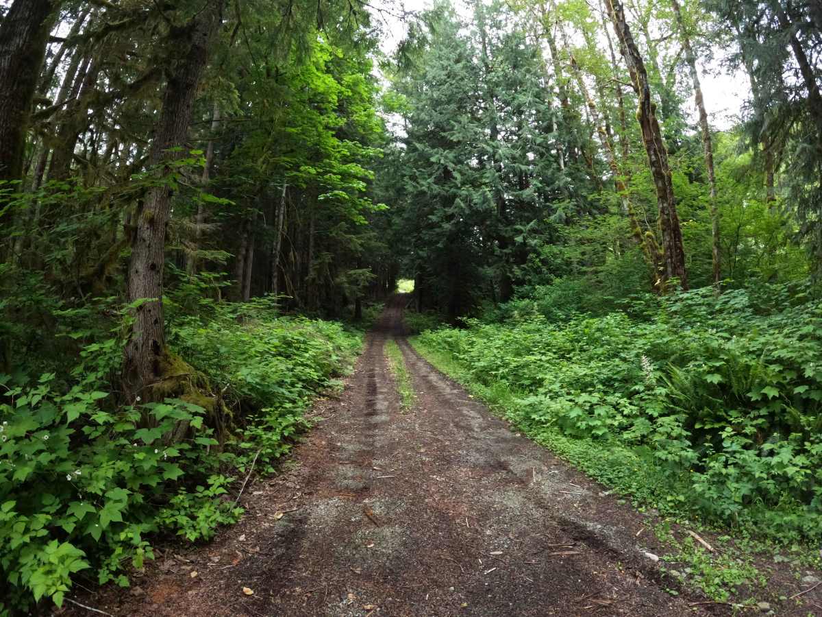
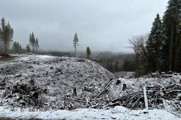
Trail Overview
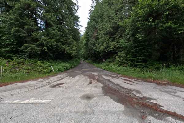
Illabot Powerline Road is a 1.9-mile point-to-point route that climbs through a mix of forest and utility corridor terrain, ending at small clearings on both ends of the trail. The single-lane gravel road features several spur roads that invite exploration, along with views of surrounding peaks from openings along the route. A few steeper sections add some variety to the drive, but the road is generally straightforward. Several established fire rings can be found along the route, though land ownership transitions between Seattle City Light and Sierra Pacific Industries property. Users should be aware of property boundaries and respect all posted signs and restrictions.
Difficulty
Illabot Powerline Road is generally an easier route, with the primary challenges being a few steeper grades and occasional rough spots. Most vehicles with reasonable ground clearance should have little difficulty navigating the road in dry conditions. The numerous spur roads can make route-finding slightly more complicated, particularly for first-time visitors. Weather conditions such as rain can increase difficulty on the steeper sections. As with most trails in the area, bringing a chainsaw or equipment to clear fallen trees is recommended.