Trail Overview
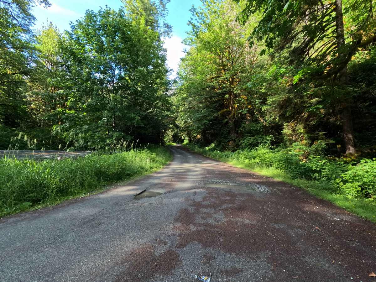
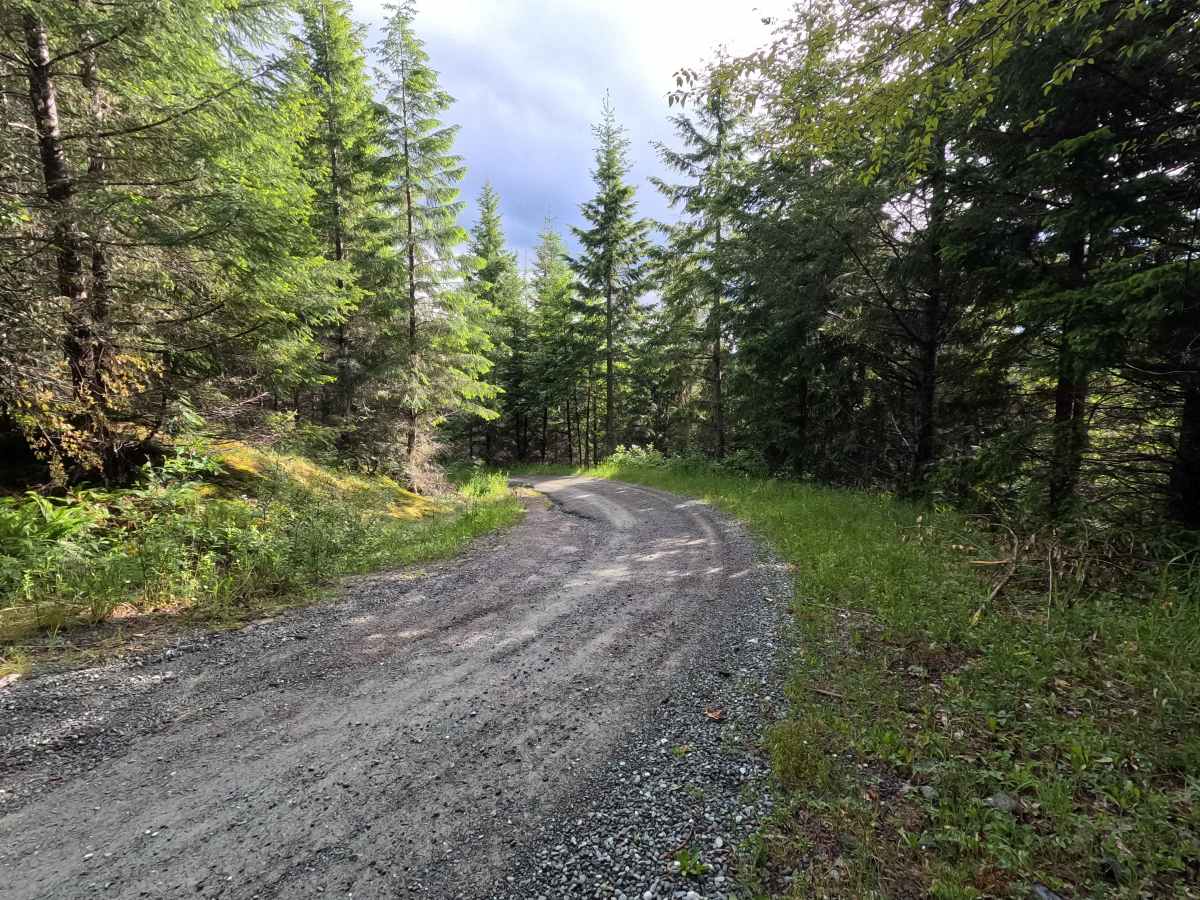
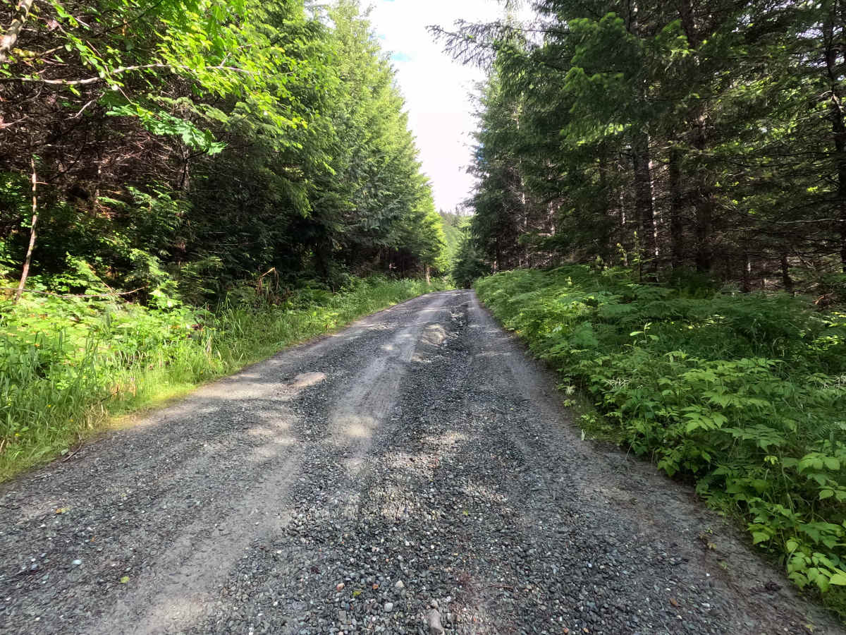
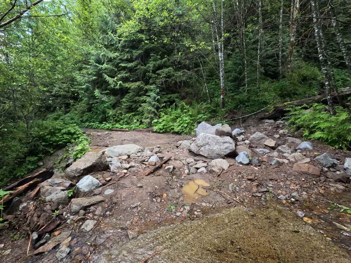
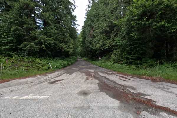
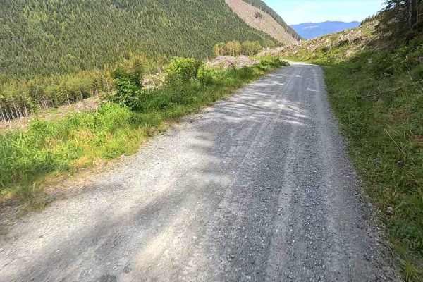
Illabot Creek Road is a long single-lane gravel route that climbs steadily into the North Cascades through a mix of forest and mountain terrain. The road features several switchbacks early on, along with occasional potholes and areas of water damage. Brush begins to close in around mile 9.5, and the road follows a narrow shelf for much of its length. Several washouts and landslides are encountered farther up the route, including a narrow section around a small landslide at mile 14.4 and a passable washout near mile 15.7 where high-clearance 4WD is recommended. A second, smaller washout is located near mile 18.9. The route ends at the passable landslide featuring large boulders near mile 20.6, just beyond the Slide Lake Trailhead.
Difficulty
Illabot Creek Road is moderately challenging due to its length, narrow shelf road sections, and multiple areas of erosion damage. The two washouts require careful tire placement when navigating over smaller boulders, making high-clearance 4WD recommended for the larger crossing near mile 15.7. Drivers should be prepared for potholes, water damage, and increasingly narrow road conditions. Weather can significantly increase difficulty, particularly where erosion has undermined portions of the road. As with most trails in the area, bringing a chainsaw or equipment to clear fallen trees is recommended.