Cascade River Road

Total Miles9.7
Technical Rating
1Easy
Best TimeSpring, Summer, Fall
Trail TypeFull-Width Road
Accessible By
Open Trail Map

Trail Overview

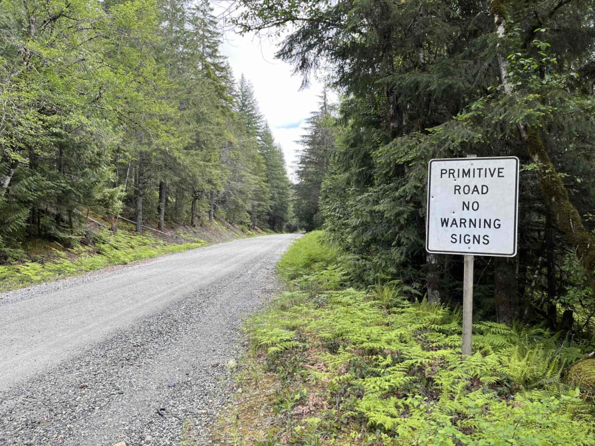
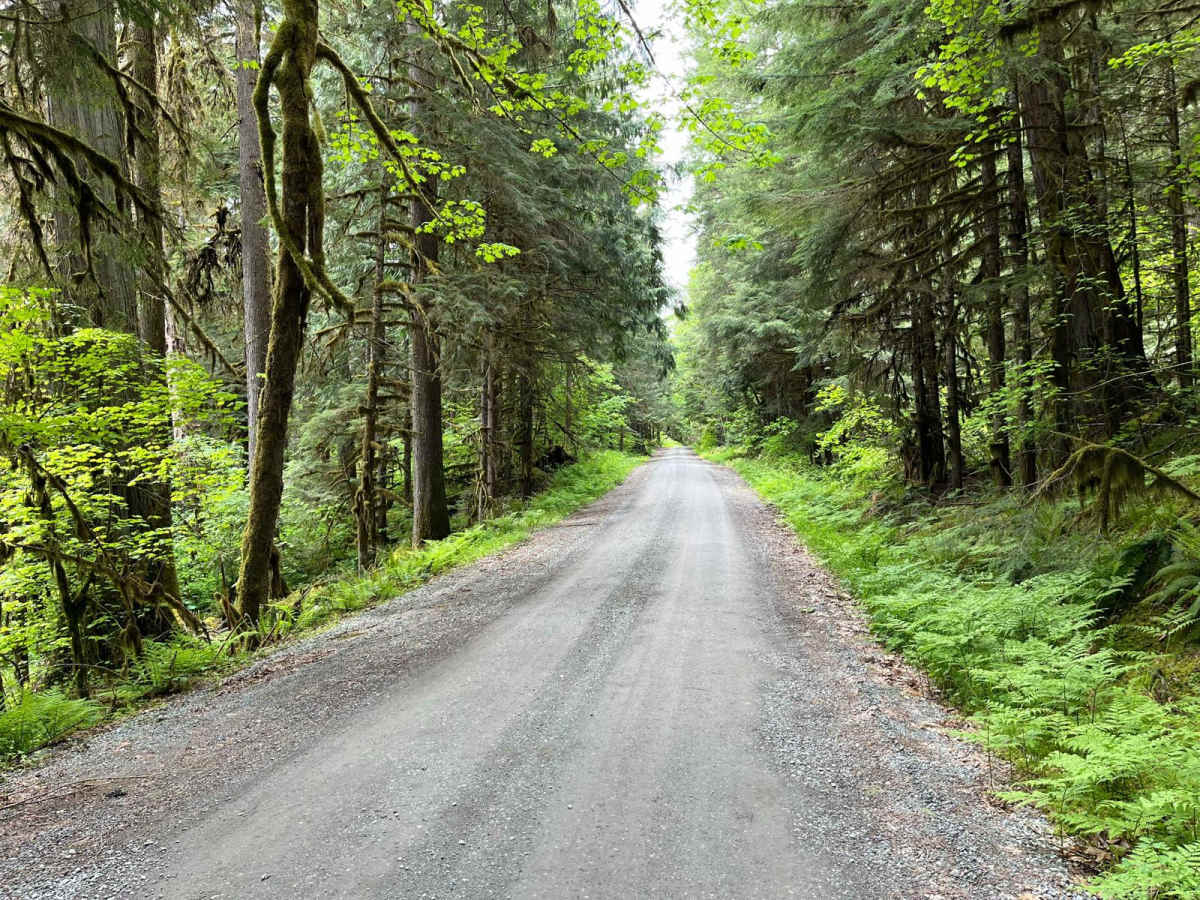
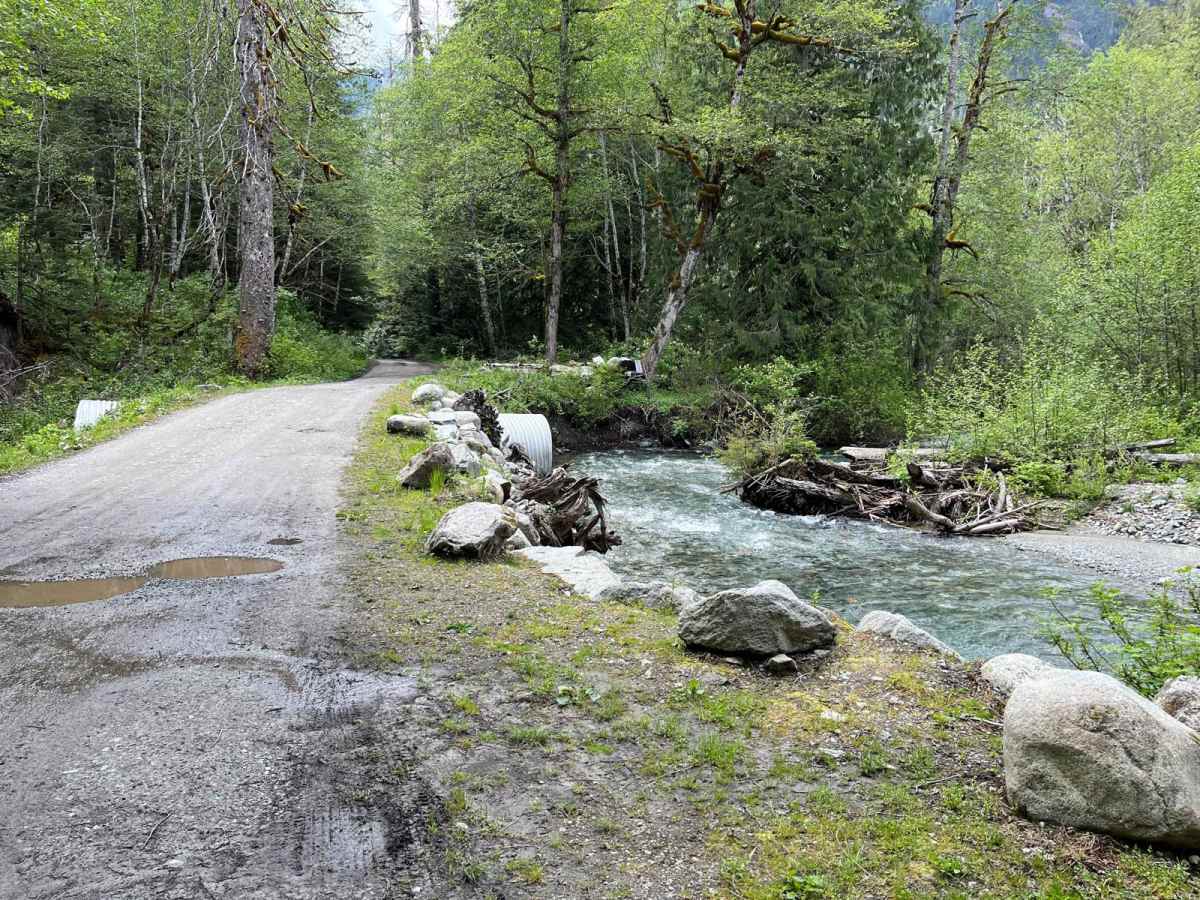
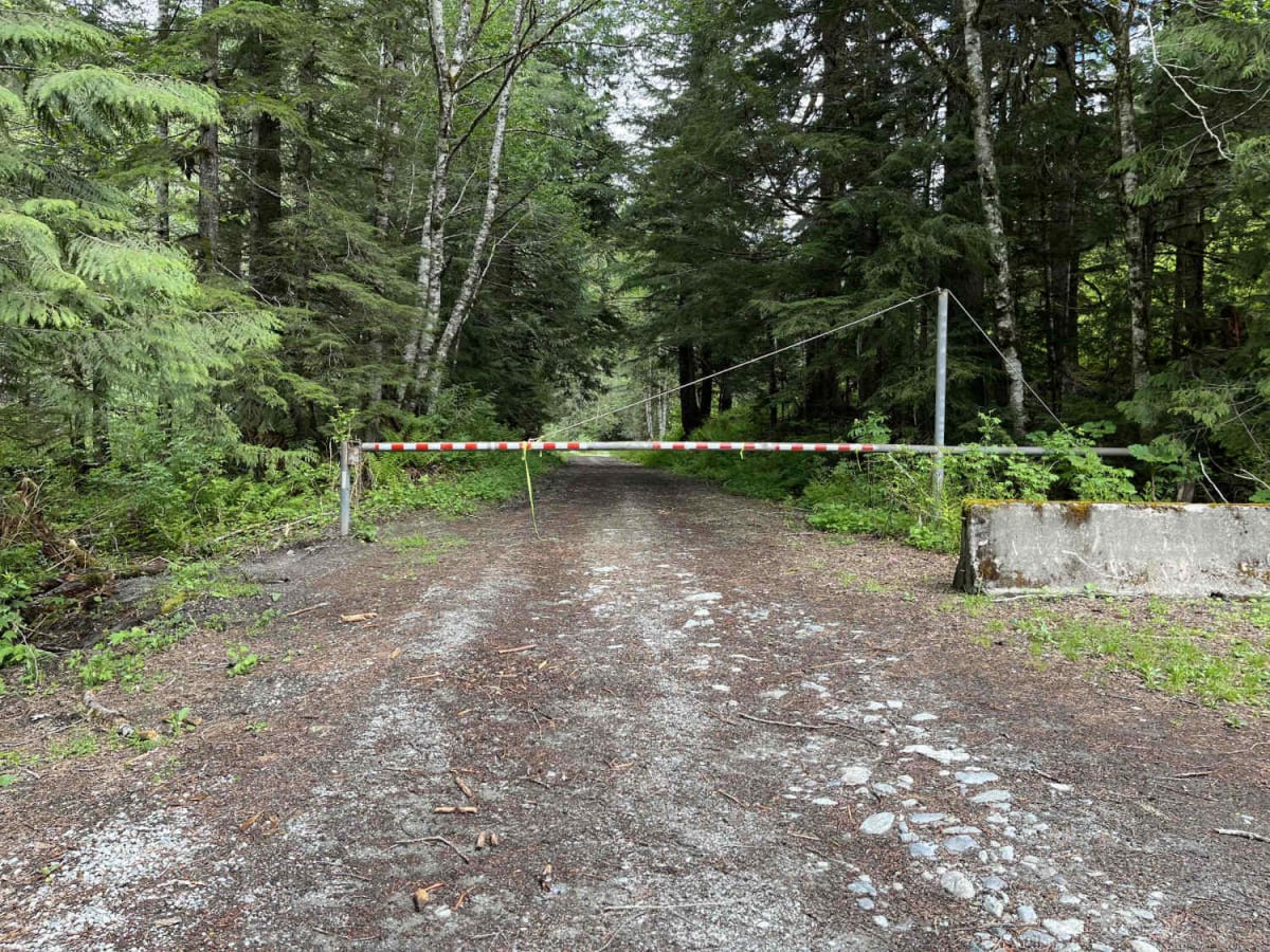
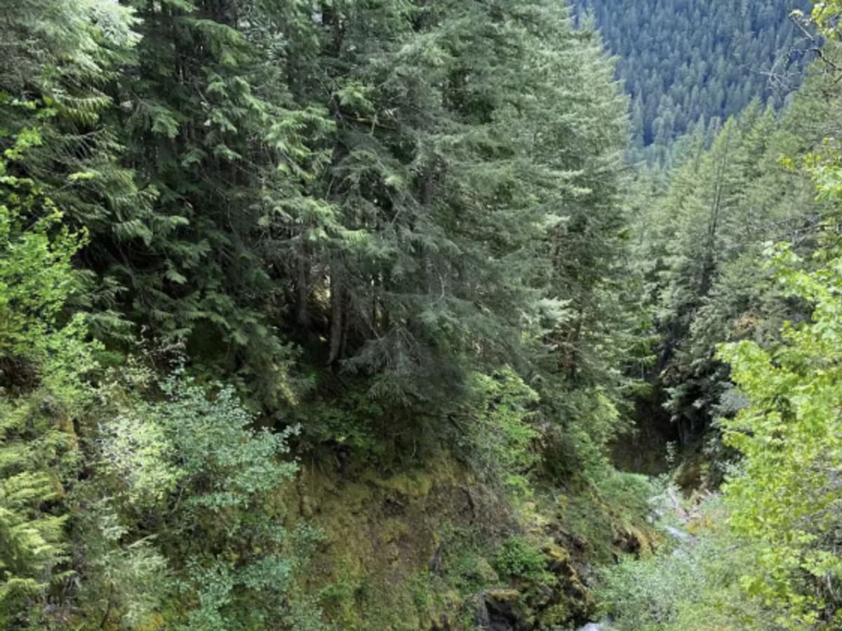
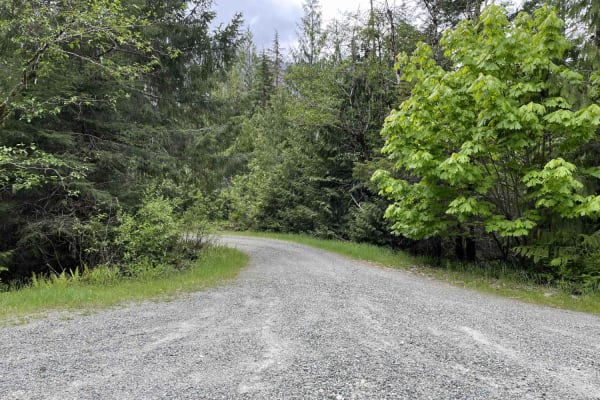
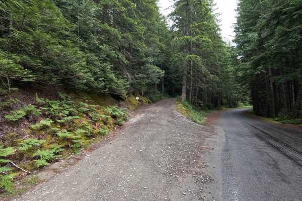
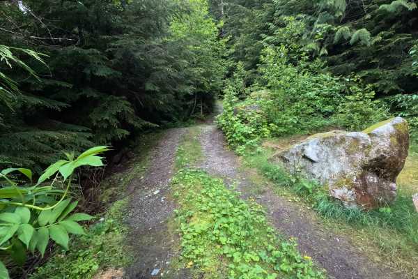
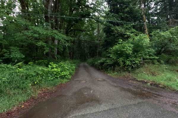
The Cascade River Road is a 9.6-mile out-and-back gravel road that leads into the North Cascades outside of Marblemount. This trail is open to all vehicle traffic but would be difficult with a large truck and camper. The road surface is well maintained, with a handful of decent potholes. There are several campgrounds with views of the river along the trail. Just before mile 6, there are several sharp switchbacks. The trail is gated at the end, with a large parking lot and bathroom. The last few miles of the trail are still accessible by foot.

Photos of Cascade River Road

Difficulty

This trail is rated a 3 due to how narrow it is and for the couple of switchbacks at mile 6. Cascade River Road is accessible by trailers for most of it's length. Just past 5.5 miles in, some tight switchbacks start that trailers may have some difficulty with. The road is maintained.

Technical Rating

1

Status Reports

Add Status Report
Kevin Kuehler
Mar 01, 2025
Open
NormalWashboard
The road all the way rom Marblemount was clear and easy all the way to the gate closure just about a mile or so past the NPS boundary, which was around elev. 2,200’. No snow on the road, but there were a few downed trees that had already been removed.

Cascade River Road Trail can be accessed by the following ride types:

  • Single Track
  • 50 Inch
  • 60 Inch
  • High Clearance
  • Full Width

Cascade River Road Map

The onX Offroad Difference

onX Offroad combines trail photos, descriptions, difficulty ratings, width restrictions, seasonality, and more in a user-friendly interface. Available on all devices, with offline access and full compatibility with CarPlay and Android Auto. Discover what you're missing today!

Open Trail Map