Trail Overview
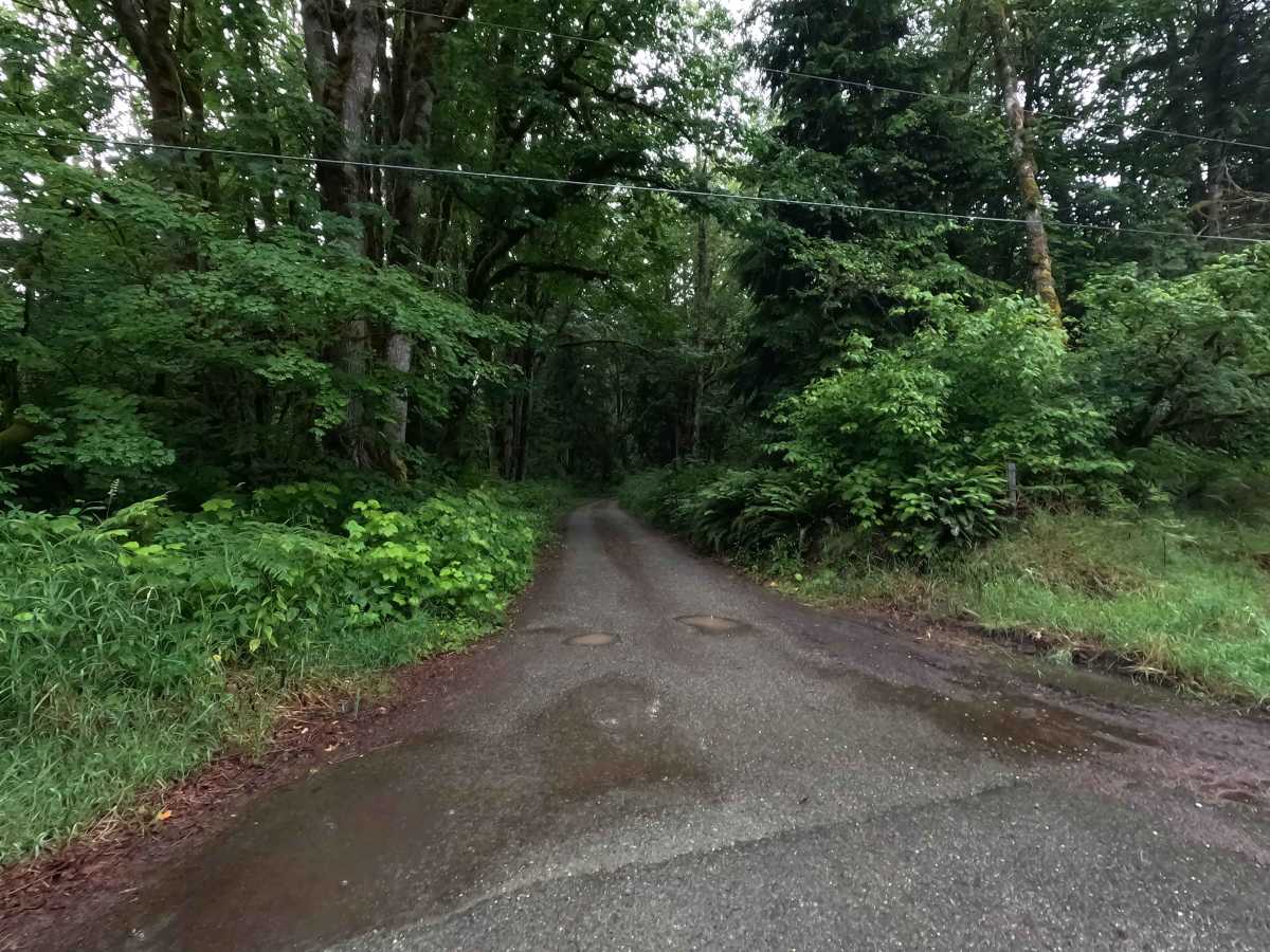
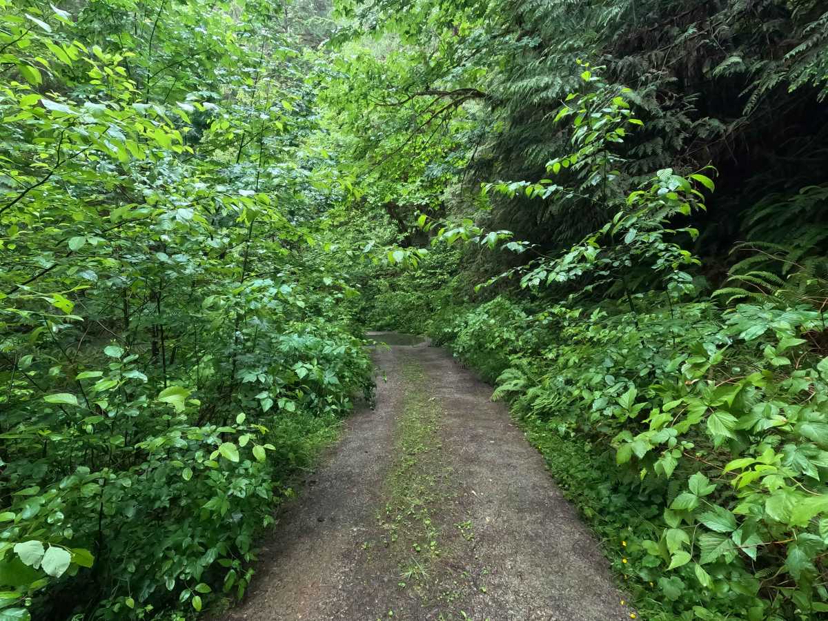
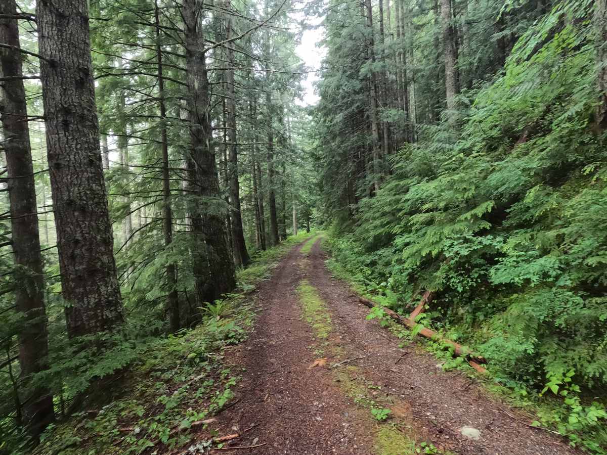
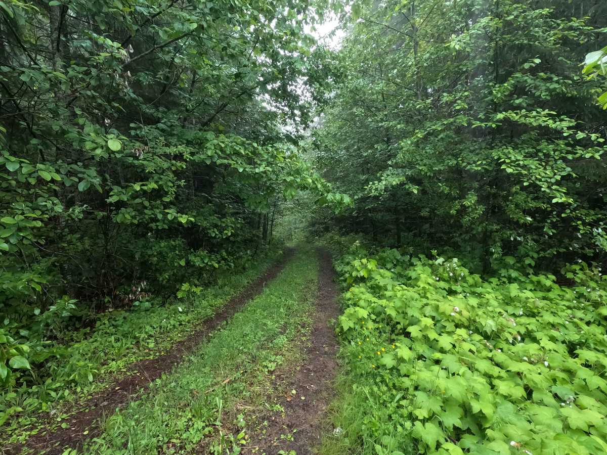
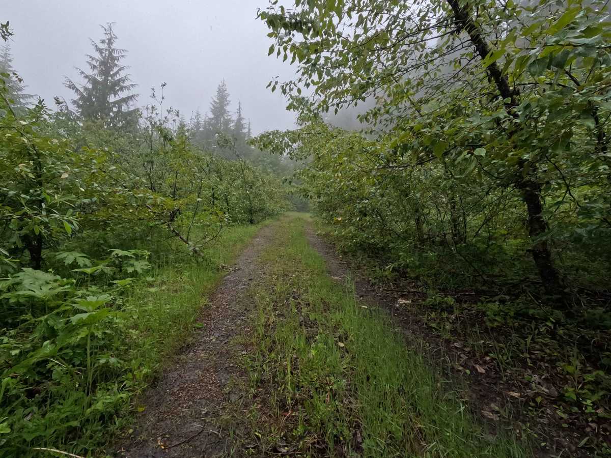
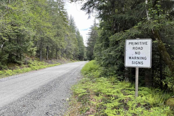
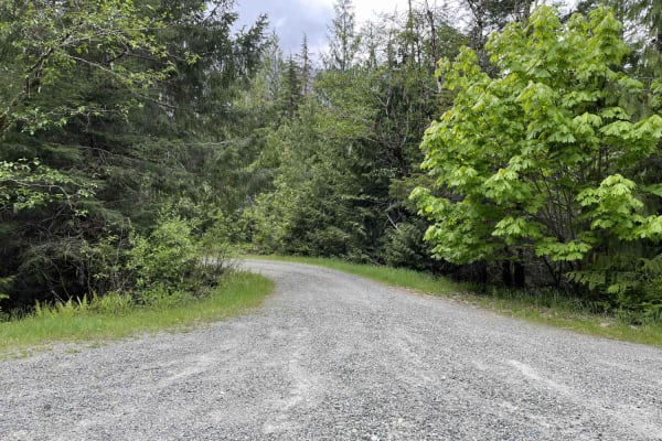
Diobsud Creek Road is a 4.5-mile out-and-back route that climbs through forested terrain with a mix of steep grades and tight switchbacks. The road crosses several parcels of private property, and users should remain on the established route and respect property boundaries. Brush encroachment narrows the corridor in places, particularly in the upper portions of the trail. A gate is located at approximately mile 1.1, though no opening or closure dates were posted at the time of mapping. The route ends at a small clearing, where large boulders block the continuation of the road. Diobsud Creek is open year-round to highway-legal vehicles only.
Difficulty
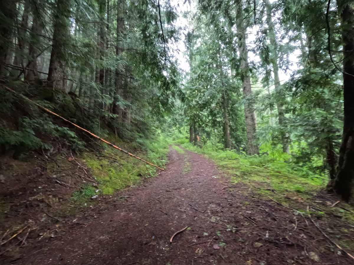
Diobsud Creek Road an easier track featuring steep grades, tight switchbacks, and narrowing trail corridor. While there are no major technical obstacles, the combination of steep terrain and overgrown sections can make travel more demanding, particularly for larger vehicles. Drivers should be prepared for limited visibility around corners and occasional brush contact. Weather conditions such as rain can increase difficulty, especially on the steeper sections where traction may become limited. As with most trails in the area, bringing a chainsaw or equipment to clear fallen trees is recommended.