Trail Overview
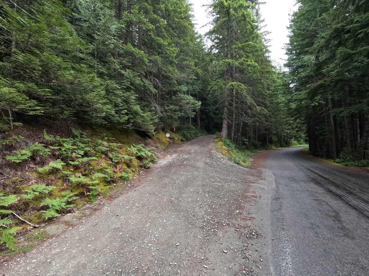
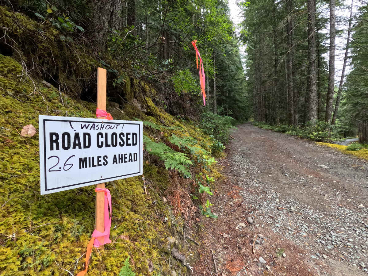
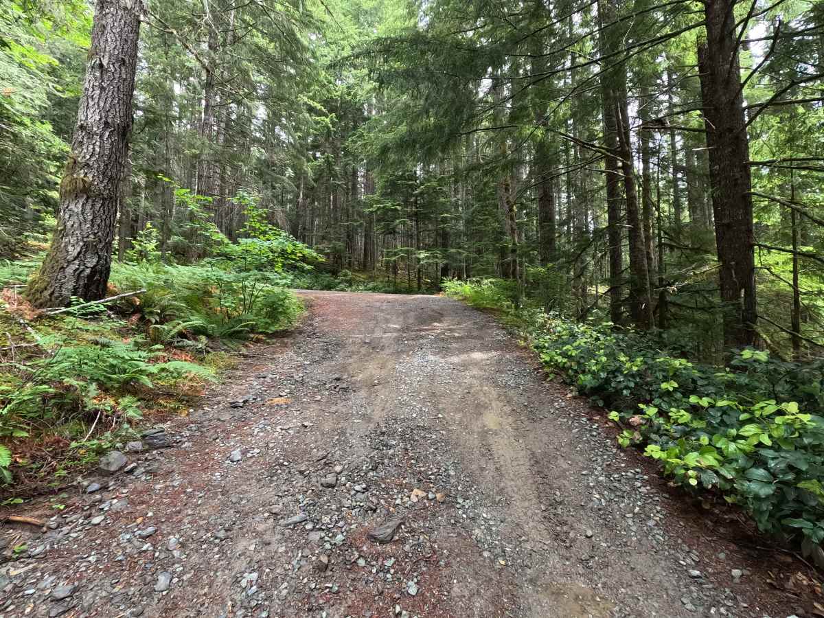
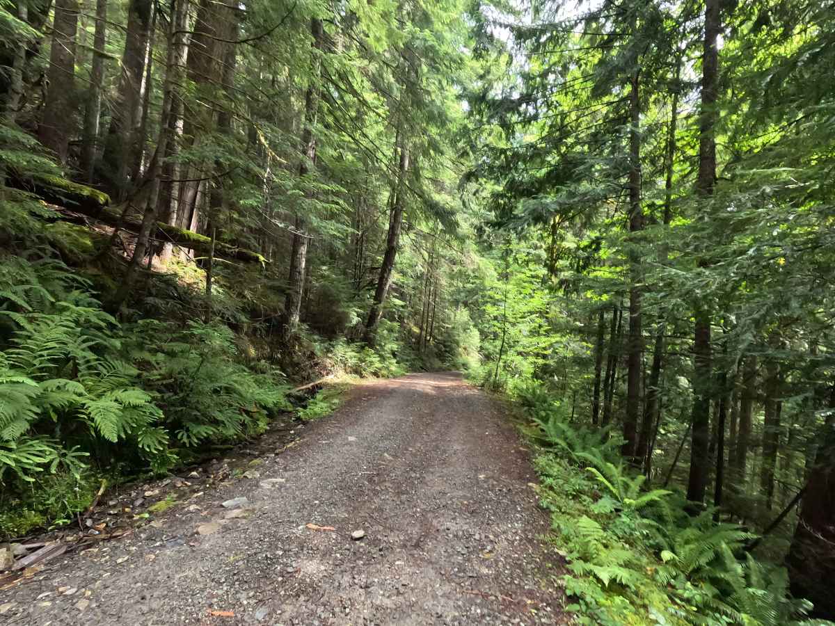
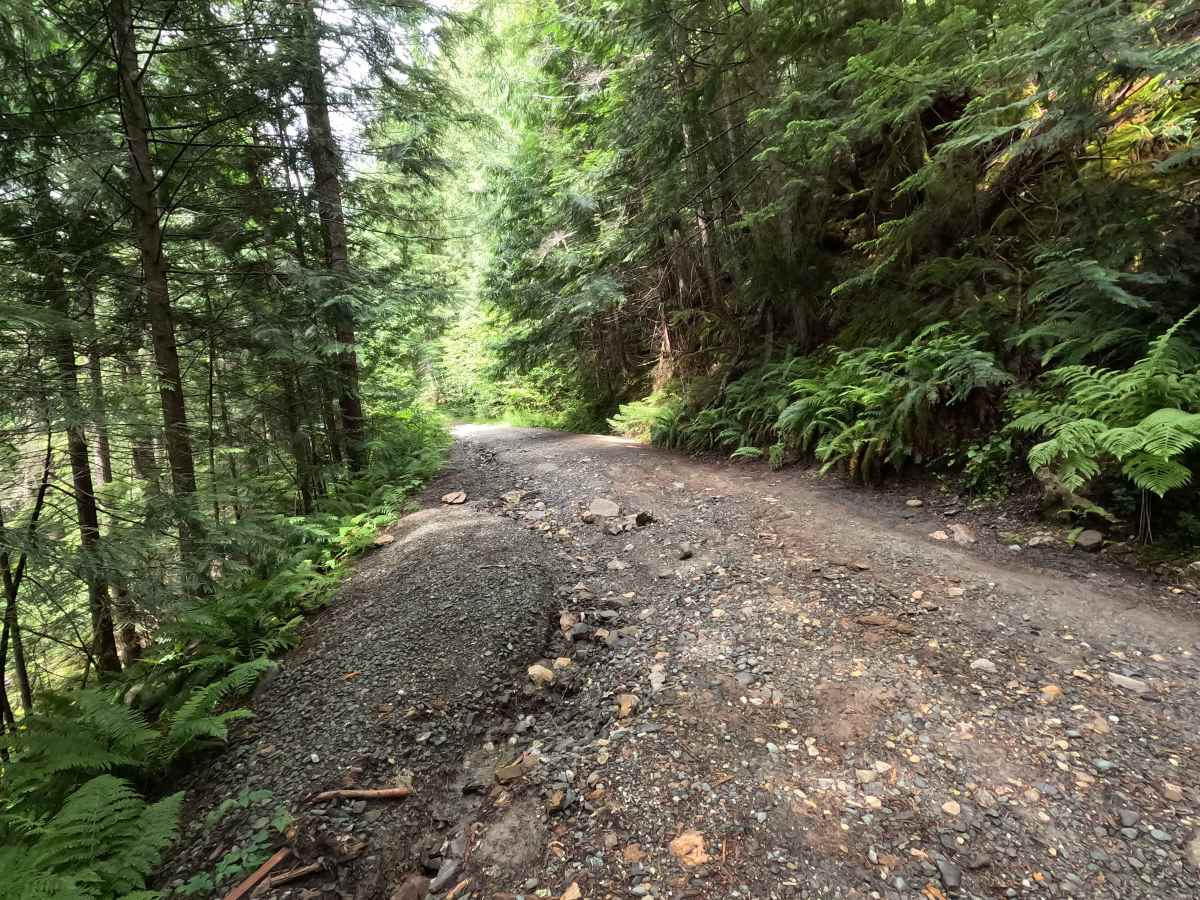
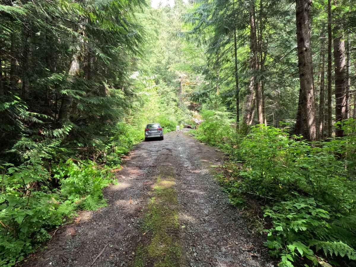
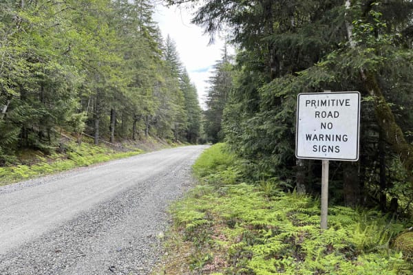
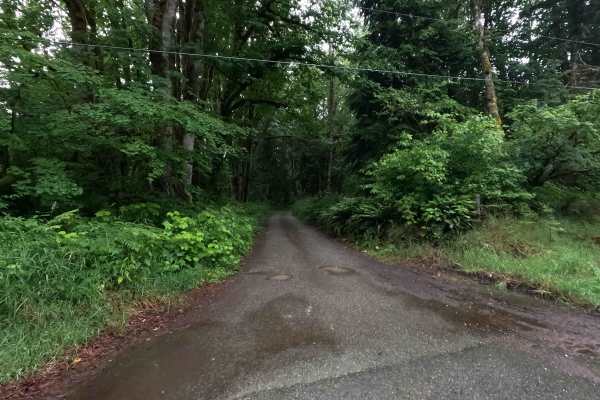
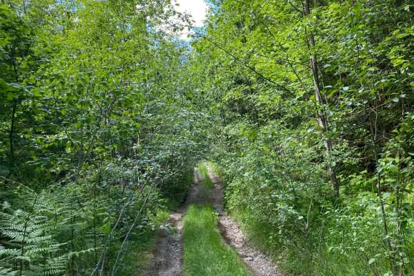
Sibley Creek is a 2.3-mile out-and-back route that follows a steep, single-lane gravel shelf road through forested terrain. The road surface is uneven and rutted, with increasing water damage beginning around mile 0.7. Several small pullouts near the upper end of the route provide opportunities to turn around before reaching the main washout. The road is closed at approximately mile 2.6 due to an impassable washout that prevents further travel. Sibley Creek is open year round to highway legal vehicles only.
Difficulty
Sibley Creek is an easier trail, featuring steep grades, shelf road sections, and extensive water damage. The uneven, rutted surface can present clearance issues for lower vehicles, making high-clearance vehicles recommended. Conditions deteriorate noticeably beyond mile 0.7 as erosion becomes more significant. The washout at the end of the route is impassable and marks the practical end of vehicle travel. Weather conditions such as rain can increase difficulty, particularly where ruts and erosion channels become slick. As with most trails in the area, bringing a chainsaw or equipment to clear fallen trees is recommended.