Trail Overview
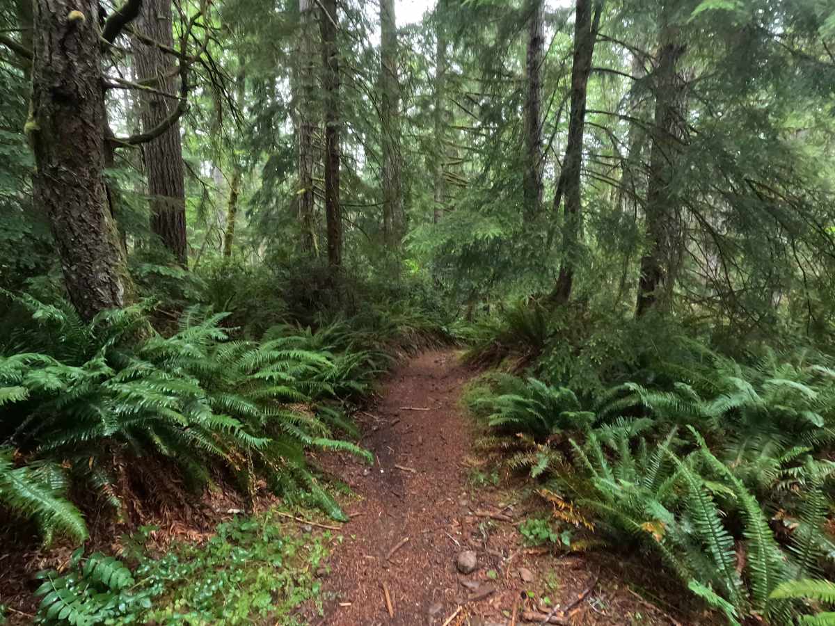
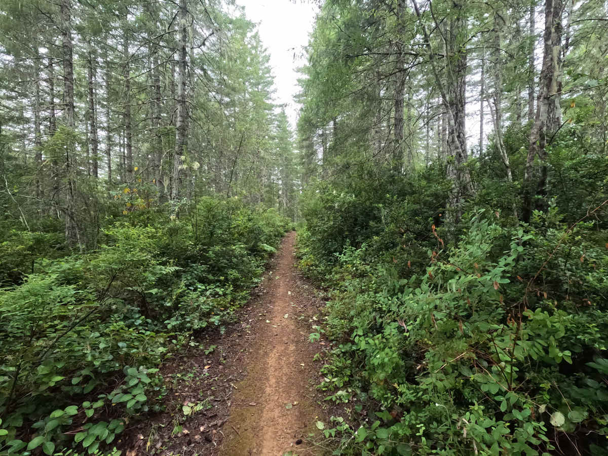
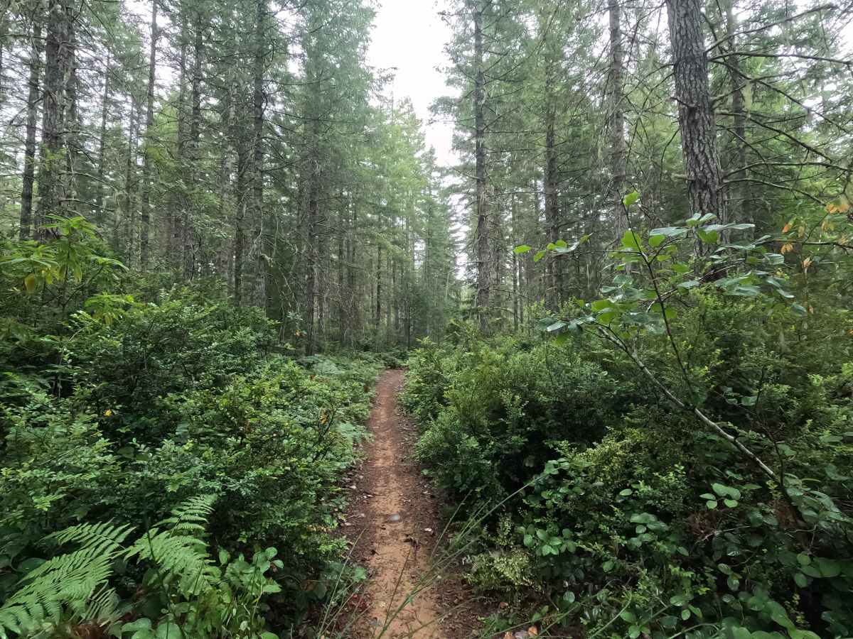
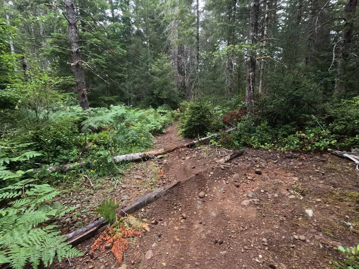
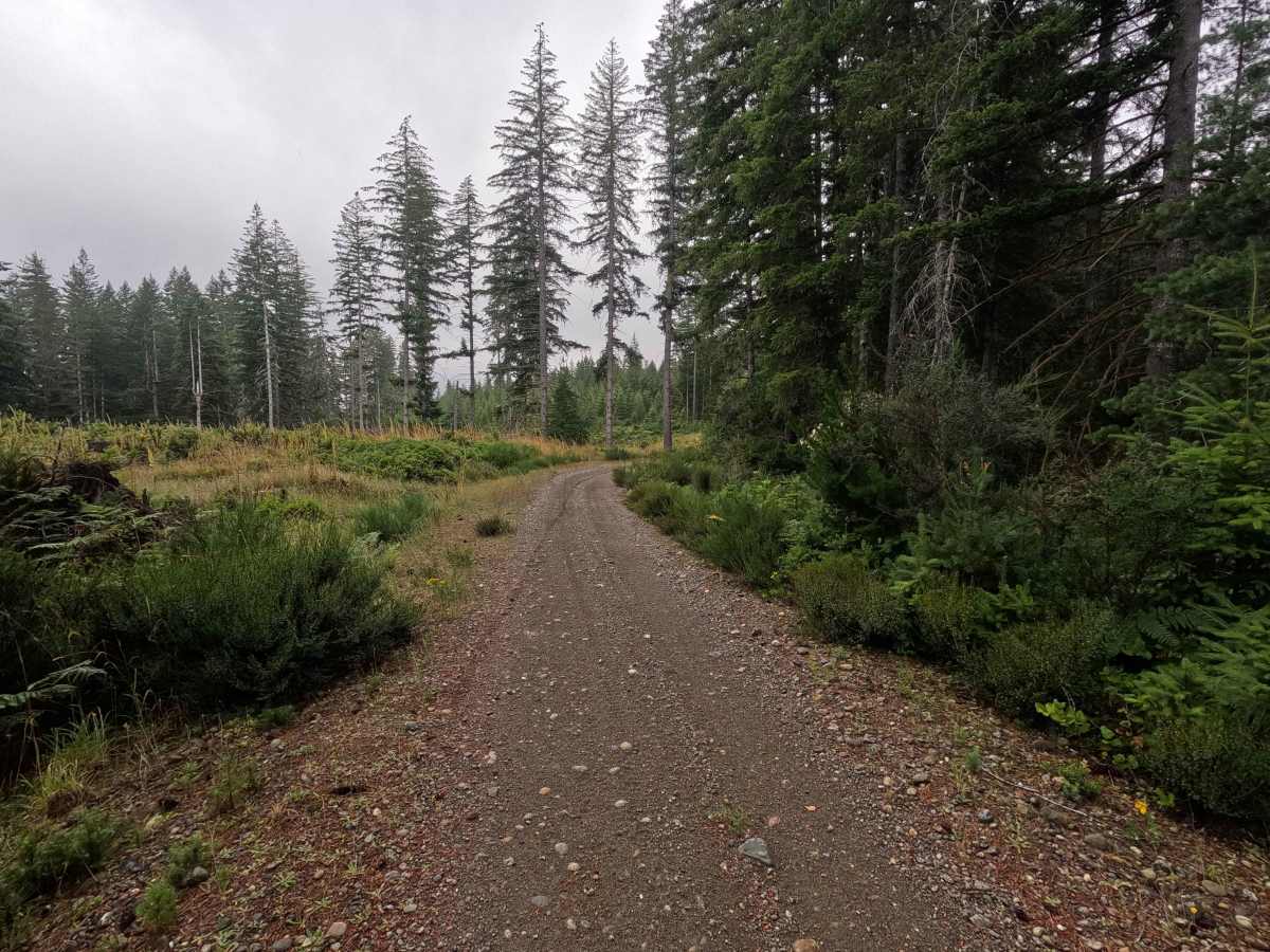
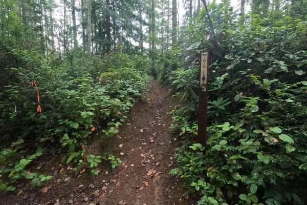
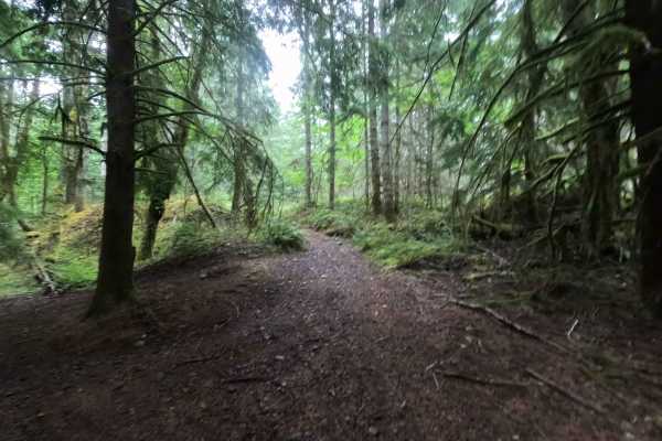
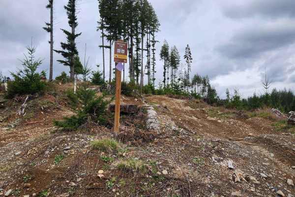
UB Lost is a 0.7-mile flowing single-track trail that serves as an alternate route to the Twin Lakes Trail within Tahuya State Forest. The trail features smooth, winding turns with a few faster straight sections that keep the ride engaging. Near the center of the trail, riders will encounter a small double log crossing followed by a short, steep climb, after which the trail continues along an access road. UB Lost ends in the middle of the access road, where the Twin Lakes Trail continues, allowing riders to continue their ride or return via alternate routes. Due to numerous gated roads, blocked exits, and map inaccuracies throughout the Tahuya trail system, visitors should carefully plan their route and begin with a full tank of fuel.
Difficulty
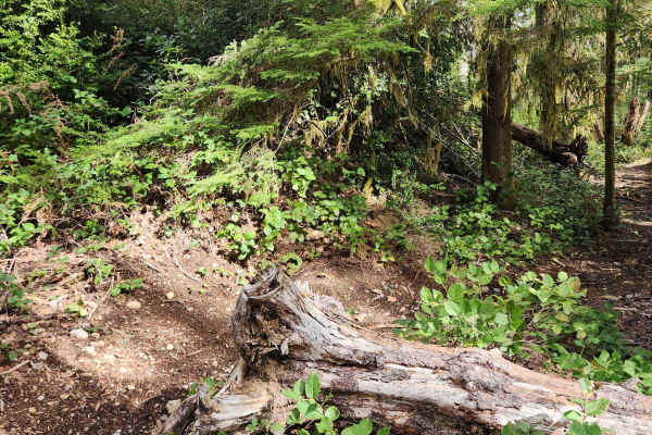
UB Lost is an easy trail for dirtbikes and ATVs, with the primary obstacles consisting of a small double log crossing and a short, steep climb. The remainder of the trail is smooth and flowing, allowing riders to maintain a steady pace through the forest. Wet conditions can make the climb and log crossing more challenging, and riders should remain alert for other trail users and blind corners.