Trail Overview
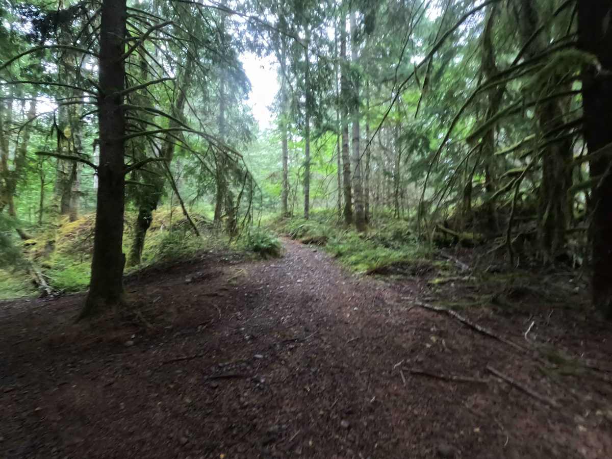
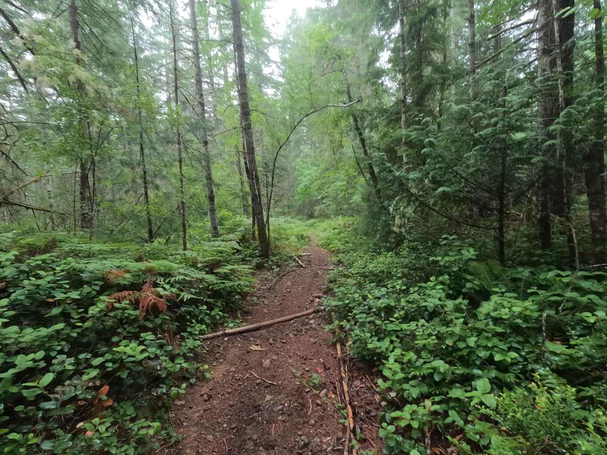
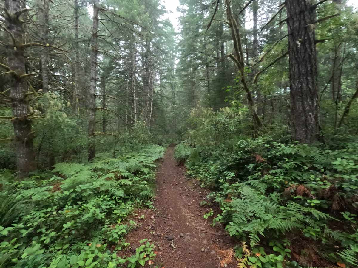
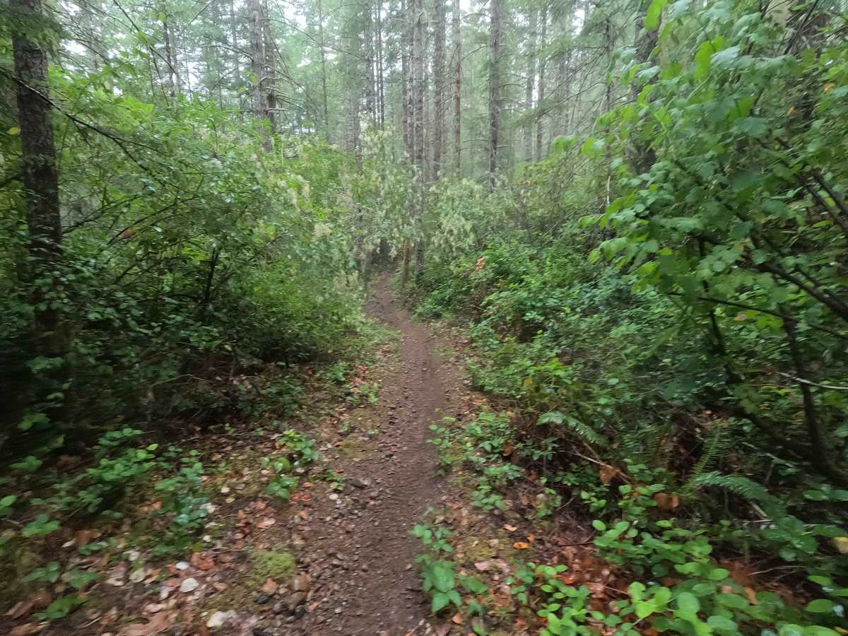
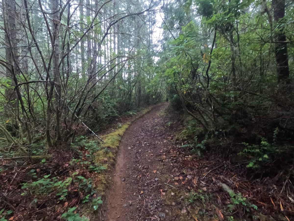
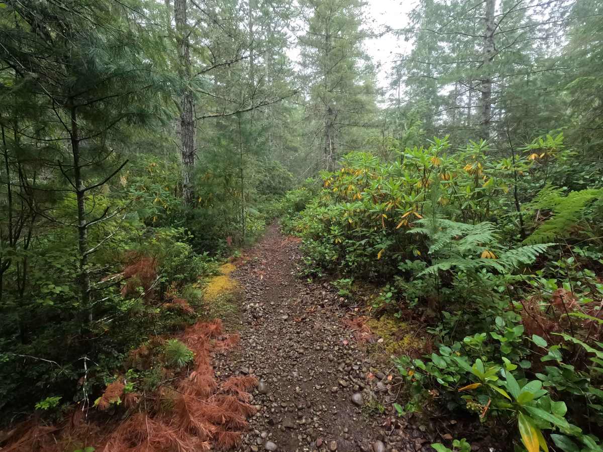
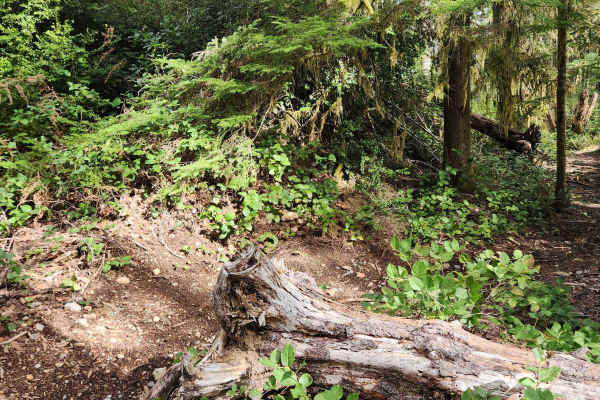
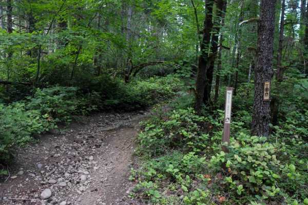
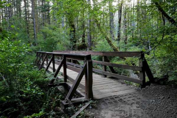
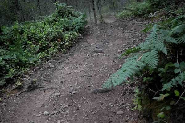
Randy's H2O Stop is a 3.3-mile point-to-point single-track trail that transitions from fast, flowing forest riding into a more technical route as it approaches its end. The first half of the trail is relatively smooth, featuring flowing turns with scattered roots and loose rocks. After passing through a clearcut, conditions become noticeably rougher with a drop into and out of a dry creek crossing, followed by several climbs and rough sections that require maintaining momentum. The trail can be difficult to follow through the clearcuts. The current Tahuya trail map routes riders along a forest road for several hundred yards that is blocked by numerous fallen trees, but is still passable for bikes. Due to numerous gated roads, blocked exits, overgrown trail segments, and map inaccuracies throughout the Tahuya trail system, visitors should carefully plan their route and begin with a full tank of fuel.
Difficulty
Randy's H2O Stop is a moderate single-track trail. While the first half is relatively easy and flowing, the second half becomes considerably more technical with a dry creek crossing, several rough climbs that require momentum, and increased rock exposure. Riders should also be prepared for navigation challenges through the clearcut sections, where the trail corridor can be difficult to distinguish. Wet conditions will significantly increase the difficulty of the climbs and creek crossing.