Trail Overview
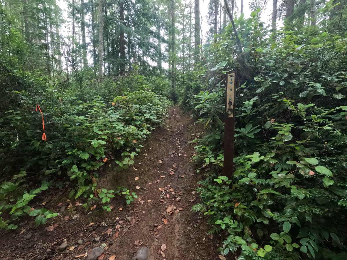
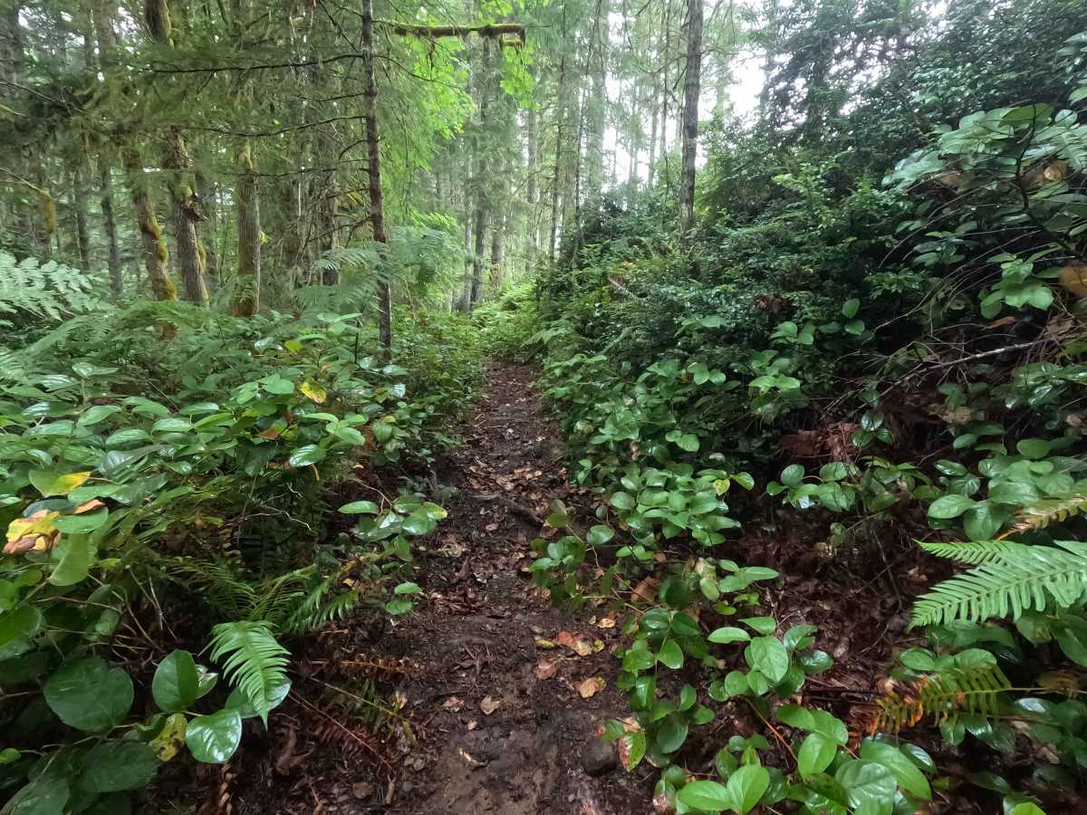
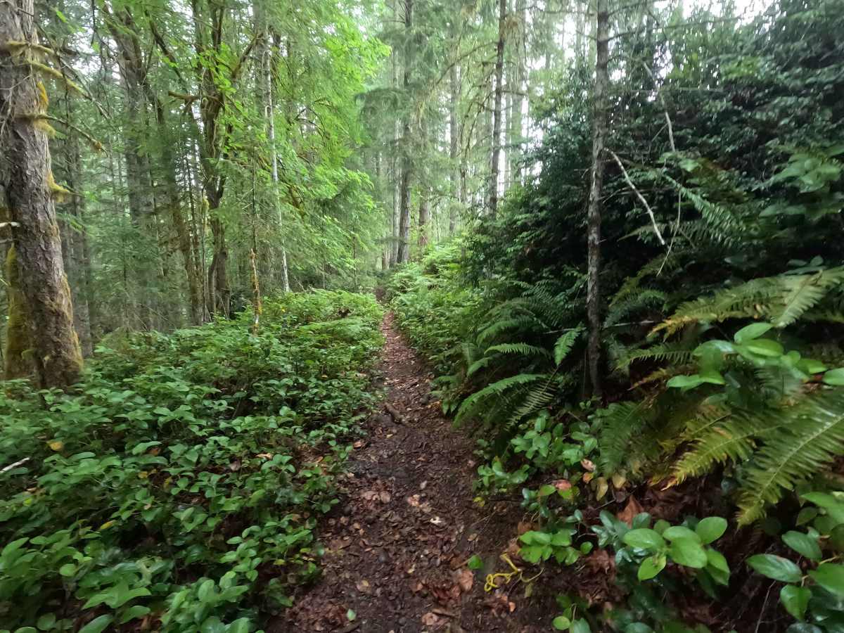
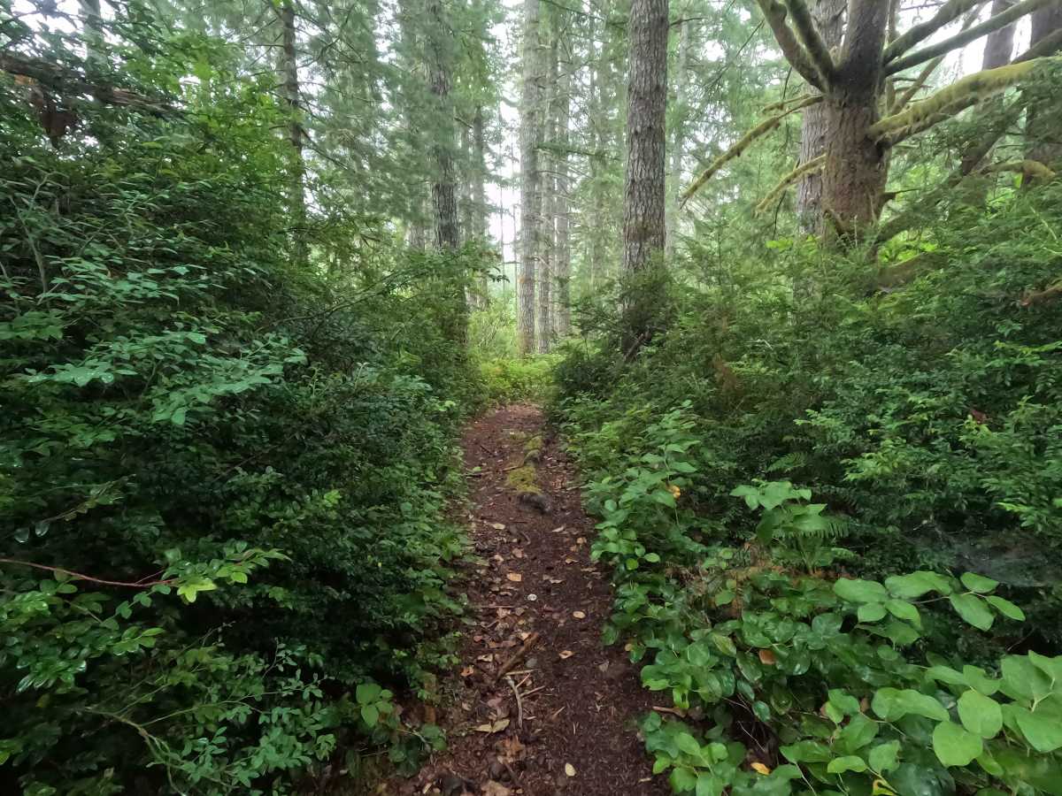
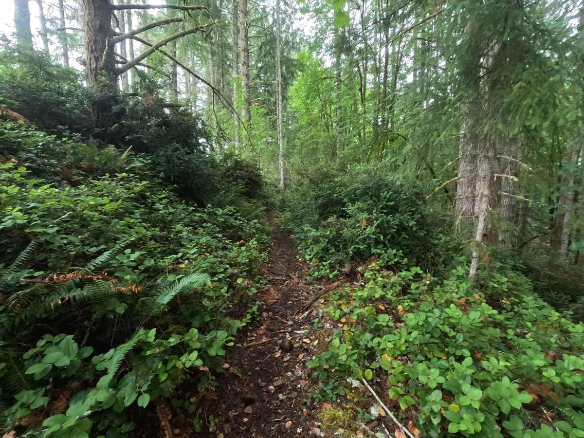
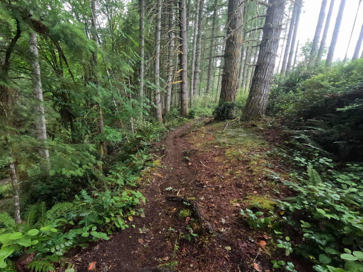
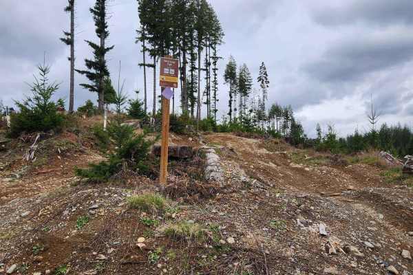
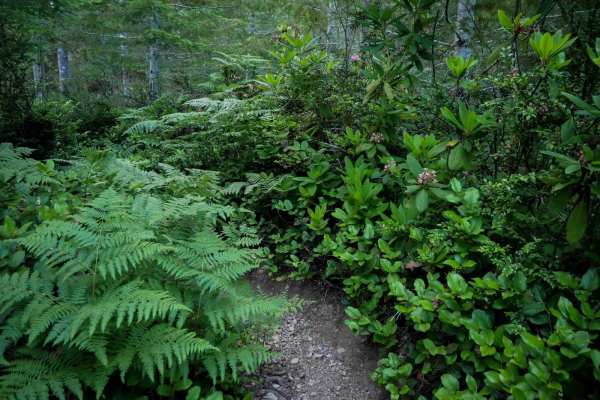
Twin Lakes is a single-track trail that winds through Tahuya State Forest, offering a mix of flowing forest riding, exposed roots, loose rock, and occasional overgrown sections. Much of the historic trail has become overgrown or no longer exists, making the route difficult to follow in places. To maintain a continuous ride, the mapped route includes several reroutes that utilize portions of the UB Lost Trail before returning to the original Twin Lakes alignment. Due to numerous gated roads, blocked exits, overgrown trail segments, and map inaccuracies throughout the Tahuya trail system, visitors should carefully plan their route and begin with a full tank of fuel.
Difficulty
Twin Lakes is an easy-to-moderate trail for dirtbikes. The primary challenges come from exposed roots, loose rock, brush encroachment, and sections where the trail can be difficult to follow. All obstacles can be easily rolled; a few steeper sections will require some momentum. While there are no major technical obstacles, riders should expect to slow down in overgrown areas and pay close attention to navigation where the original trail corridor has faded. Wet conditions can make the roots and rocks considerably more slippery.